West Durrington

Settlement in Sussex Worthing

England

West Durrington

Compton Avenue Suburban road south of Goring Way.
Compton Avenue Credit: Ian Capper

West Durrington is a small village located in the county of Sussex, England. It is situated approximately 3 miles north of the coastal town of Worthing and is part of the larger Durrington area. The village is bordered by the A27 road to the north, providing convenient access to nearby towns and cities such as Brighton and Chichester.

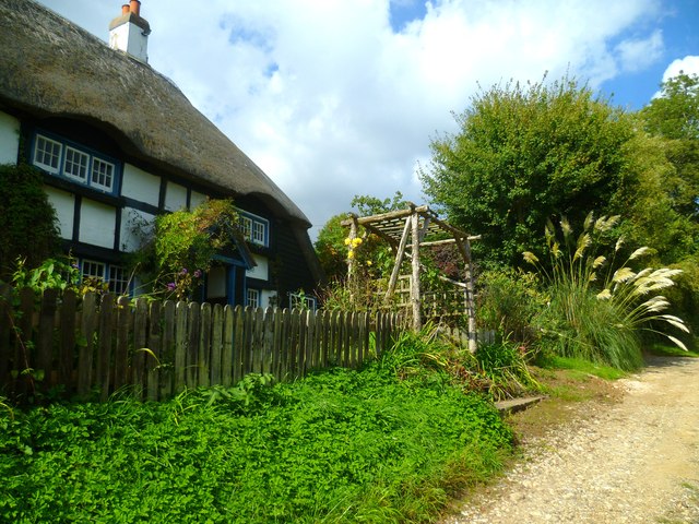
West Durrington is a predominantly residential area with a population of around 3,000 people. The village offers a peaceful and picturesque setting, surrounded by beautiful countryside and farmland. It is known for its charming cottages and traditional architecture, which adds to its rural appeal.

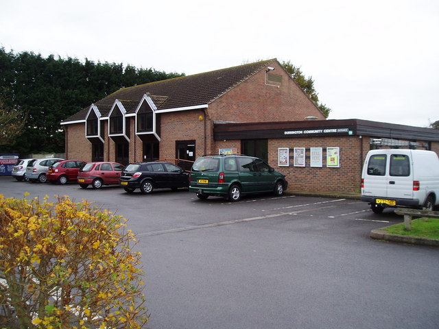
Despite its small size, West Durrington has a number of amenities to offer its residents. These include a primary school, a village hall, and a local pub. There are also several green spaces and recreational areas, providing opportunities for outdoor activities and community events.

The village benefits from excellent transport links, with regular bus services connecting it to nearby towns and villages. The A27 road also makes it easily accessible for commuters and visitors. Additionally, the nearby train station in Worthing provides convenient rail connections to major cities such as London and Brighton.

Overall, West Durrington is a charming and peaceful village that offers a high quality of life for its residents. Its beautiful surroundings, amenities, and convenient location make it an attractive place to live in Sussex.

If you have any feedback on the listing, please let us know in the comments section below.

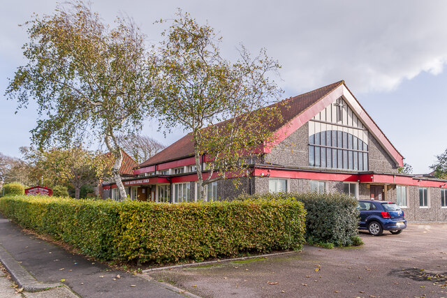
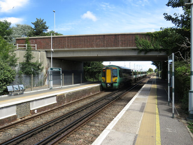
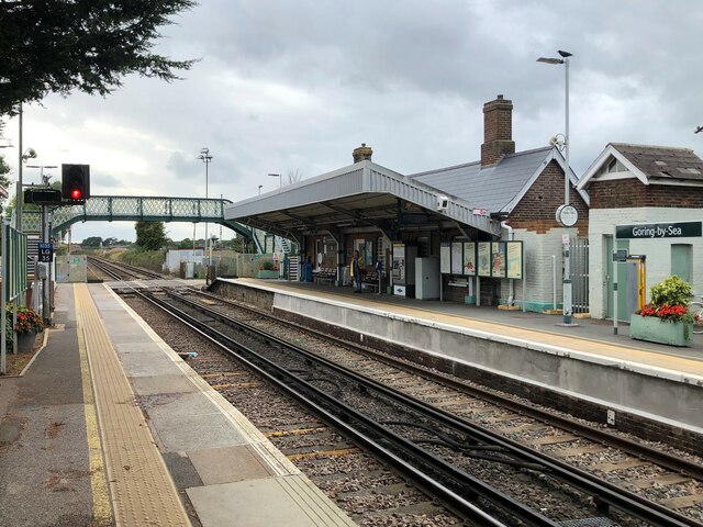
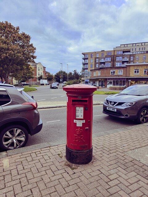
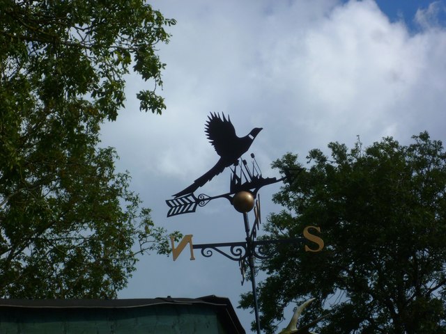
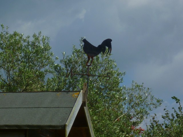
West Durrington Images

Images are sourced within 2km of 50.832487/-0.42181029 or Grid Reference TQ1104. Thanks to Geograph Open Source API. All images are credited.

Compton Avenue Suburban road south of Goring Way.
Compton Avenue
Suburban road south of Goring Way.
Jupp's Lane Looking across Goring Way to Jupp's Lane.
Jupp's Lane
Looking across Goring Way to Jupp's Lane.
Church of the English Martyrs Roman Catholic Church built in 1968, the congregation previously having met in the 18th Century Jupp's Barn, visible on the far left of this photo.  Although the exterior is unassuming, this is in total contrast to the interior - see <a href="https://www.geograph.org.uk/photo/7006401">TQ1002 : Ceiling, Church of the English Martyrs</a> and <a href="https://www.geograph.org.uk/photo/7006405">TQ1002 : Ceiling, Church of the English Martyrs</a>.
Church of the English Martyrs
Roman Catholic Church built in 1968, the congregation previously having met in the 18th Century Jupp's Barn, visible on the far left of this photo. Although the exterior is unassuming, this is in total contrast to the interior - see TQ1002 : Ceiling, Church of the English Martyrs and TQ1002 : Ceiling, Church of the English Martyrs.
Ceiling, Church of the English Martyrs Two-thirds replica of the Sistine Chapel in Rome on the ceiling of the Church of the English Martyrs (see <a href="https://www.geograph.org.uk/photo/7006392">TQ1002 : Church of the English Martyrs</a>), painted by parishioner Gary Bevans between 1987 and 1993.  The west window, entitled Peter the Fisherman, was designed by architectural designer and historian Annie Goodman and installed by her son, glassmaker Jeremy Goodman, in 1990.
Ceiling, Church of the English Martyrs
Two-thirds replica of the Sistine Chapel in Rome on the ceiling of the Church of the English Martyrs (see TQ1002 : Church of the English Martyrs), painted by parishioner Gary Bevans between 1987 and 1993. The west window, entitled Peter the Fisherman, was designed by architectural designer and historian Annie Goodman and installed by her son, glassmaker Jeremy Goodman, in 1990.
Ceiling, Church of the English Martyrs Two-thirds replica of the Sistine Chapel in Rome on the ceiling of the Church of the English Martyrs (see <a href="https://www.geograph.org.uk/photo/7006392">TQ1002 : Church of the English Martyrs</a>), painted by parishioner Gary Bevans between 1987 and 1993.  The "windows", which are vertical in the original, are here part of the curved ceiling (as can be seen in <a href="https://www.geograph.org.uk/photo/7006401">TQ1002 : Ceiling, Church of the English Martyrs</a>) but have been painted with appropriate perspective to appear vertical from the side, as here.
Ceiling, Church of the English Martyrs
Two-thirds replica of the Sistine Chapel in Rome on the ceiling of the Church of the English Martyrs (see TQ1002 : Church of the English Martyrs), painted by parishioner Gary Bevans between 1987 and 1993. The "windows", which are vertical in the original, are here part of the curved ceiling (as can be seen in TQ1002 : Ceiling, Church of the English Martyrs) but have been painted with appropriate perspective to appear vertical from the side, as here.
Train leaving Goring-by-Sea station Goring-by-Sea is an intermediate station on the West Coastway line.  In this image, a Class 377 "Electrostar" train is leaving on its way to Brighton.

The railway is electrified using the third-rail system.

The bridge carries the S259 road over the railway.
Train leaving Goring-by-Sea station
Goring-by-Sea is an intermediate station on the West Coastway line. In this image, a Class 377 "Electrostar" train is leaving on its way to Brighton. The railway is electrified using the third-rail system. The bridge carries the S259 road over the railway.
Goring-by-Sea railway station Goring-by-Sea is an intermediate station on the West Coastway line, to the west of Worthing.  The railway tracks are electrified using the third-rail system.
Goring-by-Sea railway station
Goring-by-Sea is an intermediate station on the West Coastway line, to the west of Worthing. The railway tracks are electrified using the third-rail system.
Level crossing at Goring-by-Sea A level crossing takes the West Coastway line across Goring Street at Goring-by-Sea.  This road used to be part of the route of the A259 main road along the south coast.  The A259 now crosses the railway slightly to the east, over a bridge, so that 'A' road traffic is no longer halted when trains are passing.
Level crossing at Goring-by-Sea
A level crossing takes the West Coastway line across Goring Street at Goring-by-Sea. This road used to be part of the route of the A259 main road along the south coast. The A259 now crosses the railway slightly to the east, over a bridge, so that 'A' road traffic is no longer halted when trains are passing.
Chatsmore Crescent, Goring-by-Sea Chatsmore Crescent is a minor residential road in Goring-by-Sea, near Worthing.
Chatsmore Crescent, Goring-by-Sea
Chatsmore Crescent is a minor residential road in Goring-by-Sea, near Worthing.
Church Road, West Worthing Church Road is a residential road in West Worthing.
Church Road, West Worthing
Church Road is a residential road in West Worthing.
Bellview Road, West Worthing Bellview Road is a residential road in West Worthing.
Bellview Road, West Worthing
Bellview Road is a residential road in West Worthing.
Pelham Road, West Worthing Pelham Road is a residential road in West Worthing.
Pelham Road, West Worthing
Pelham Road is a residential road in West Worthing.
Terringes Avenue, West Worthing Terringes Avenue is a residential road in West Worthing.
Terringes Avenue, West Worthing
Terringes Avenue is a residential road in West Worthing.
Goring by Sea Railway Station The station was opened in 1846 and is today (2022) served by Southern services.
Goring by Sea Railway Station
The station was opened in 1846 and is today (2022) served by Southern services.
Postbox The Strand
Postbox The Strand
Weatherbird by bridleway What sort of bird is it?
Weatherbird by bridleway
What sort of bird is it?
Bridleway passes Keepers Cottage See also <a title="https://www.geograph.org.uk/photo/3535503" href="https://www.geograph.org.uk/photo/3535503">Link</a>.
Bridleway passes Keepers Cottage
See also Link.
Weathercock by bridleway
Show me another place!

West Durrington is located at Grid Ref: TQ1104 (Lat: 50.832487, Lng: -0.42181029)

Administrative County: West Sussex

District: Worthing

Police Authority: Sussex

What 3 Words

///puns.moss.panels. Near Goring-by-Sea, West Sussex

Nearby Locations

West Durrington

Related Wikis

Northbrook (electoral division)

Northbrook is an electoral division of West Sussex in the United Kingdom, and returns one member to sit on West Sussex County Council. == Extent == The...

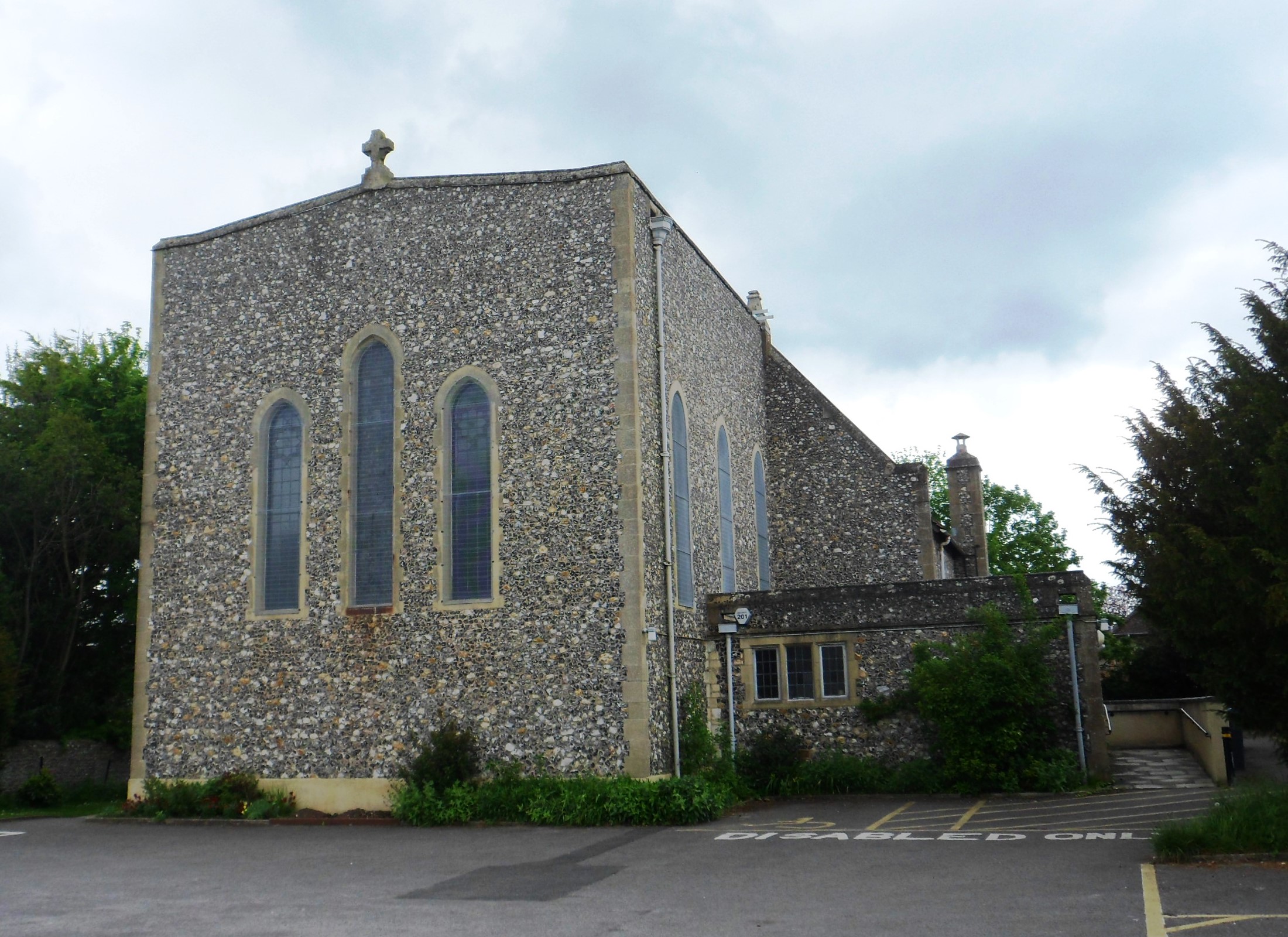
St Symphorian's Church, Durrington

St Symphorian's Church is an Anglican church in the Durrington area of the borough of Worthing, one of seven local government districts in the English...

Durrington, West Sussex

Durrington is a neighbourhood of Worthing and former civil parish, now in the borough of Worthing in West Sussex, England. Historically in Sussex, in the...

RAF Durrington

RAF Durrington was a World War II ground-controlled interception (GCI) radar station in Durrington, West Sussex, a neighbourhood in Worthing in the United...

Palatine School

Palatine School (formerly George Pringle School or Selden County Junior Mixed and Infant School) is a primary school in Worthing, West Sussex for those...

Durrington & Salvington (electoral division)

Durrington & Salvington is an electoral division of West Sussex in England, and returns one member to sit on West Sussex County Council. == Extent == The...

Oak Grove College

Oak Grove College is a coeducational special school and sixth form maintained by West Sussex County Council. The school provides special education for...

Cote, West Sussex

Cote (also Walcote or Coate) was a hamlet in the former parish of Durrington, West Sussex (now a suburb of Worthing), England. It is 3.25 miles (5.23 km...

Nearby Amenities

Located within 500m of 50.832487,-0.42181029
Crossing
Crossing: unmarked
Crossing Markings: no
Kerb: flush
Tactile Paving: yes
Lat/Long: 50.8295968/-0.4184147
Crossing
Crossing: traffic_signals
Crossing Island: no
Crossing Markings: dots
Crossing Ref: puffin
Kerb: yes
Tactile Paving: yes
Lat/Long: 50.8299023/-0.4209199
Crossing
Button Operated: yes
Crossing: traffic_signals
Crossing Island: no
Crossing Markings: dots
Crossing Ref: puffin
Kerb: flush
Tactile Paving: yes
Traffic Signals Sound: yes
Lat/Long: 50.8322159/-0.4213973
Crossing
Crossing: traffic_signals
Crossing Island: no
Crossing Markings: dots
Crossing Ref: puffin
Kerb: yes
Tactile Paving: yes
Lat/Long: 50.8299885/-0.4209515
Mini Roundabout
Direction: clockwise
Lat/Long: 50.8319385/-0.4284451
Bus Stop
Faraday Close
Naptan AtcoCode: 4400WO0011
Naptan Bearing: NE
Naptan CommonName: Faraday Close
Naptan Indicator: Adj Faraday Close
Naptan Landmark: Faraday Close
Naptan NaptanCode: wsxdmjat
Naptan Street: Romany Road
Naptan Verified: no
Source: naptan_import
Lat/Long: 50.8284037/-0.4240145
Bus Stop
Faraday Close
Naptan AtcoCode: 4400WO0012
Naptan Bearing: SW
Naptan CommonName: Faraday Close
Naptan Indicator: Opp Faraday Close
Naptan Landmark: Faraday Close
Naptan NaptanCode: wsxdmjaw
Naptan Street: Romany Road
Naptan Verified: no
Source: naptan_import
Lat/Long: 50.8283475/-0.423846
Bus Stop
Tesco Store
Naptan AtcoCode: 4400WO0013
Naptan Bearing: N
Naptan CommonName: Tesco Store
Naptan Indicator: adj shops
Naptan Landmark: New Road
Naptan NaptanCode: wsxdmjda
Naptan Street: Tasman Way
Public Transport: platform
Source: naptan_import
Lat/Long: 50.8319567/-0.4214819
Bus Stop
Tesco Store
Naptan AtcoCode: 4400WO0014
Naptan Bearing: S
Naptan CommonName: Tesco Store
Naptan Indicator: opp shops
Naptan Landmark: New Road
Naptan NaptanCode: wsxdmjdg
Naptan Street: Tasman Way
Public Transport: platform
Shelter: yes
Source: naptan_import
Lat/Long: 50.8319153/-0.4212636
Bus Stop
Torridge Close
Naptan AtcoCode: 4400WO0015
Naptan Bearing: N
Naptan CommonName: Torridge Close
Naptan Indicator: opp
Naptan Landmark: Torridge Close
Naptan NaptanCode: wsxdmjdj
Naptan ShortCommonName: Torridge Close
Naptan Street: New Road
Naptan Verified: no
Source: naptan_import
Lat/Long: 50.8339185/-0.4214855
Bus Stop
Torridge Close
Naptan AtcoCode: 4400WO0016
Naptan Bearing: S
Naptan CommonName: Torridge Close
Naptan Indicator: adj
Naptan Landmark: Torridge Close
Naptan NaptanCode: wsxdmjdm
Naptan ShortCommonName: Torridge Close
Naptan Street: New Road
Naptan Verified: no
Source: naptan_import
Lat/Long: 50.8337358/-0.4212786
Bus Stop
New Road
Naptan AtcoCode: 4400WO0017
Naptan Bearing: E
Naptan CommonName: New Road
Naptan Indicator: adj Mersey Road
Naptan Landmark: Mersey Road
Naptan NaptanCode: wsxdmjdp
Naptan Street: New Road
Naptan Verified: no
Source: naptan_import
Lat/Long: 50.8356543/-0.4194954
Bus Stop
Arun Crescent
Naptan AtcoCode: 4400WO0018
Naptan Bearing: W
Naptan CommonName: Arun Crescent
Naptan Indicator: adj
Naptan Landmark: Arun Crescent
Naptan NaptanCode: wsxdmjdt
Naptan ShortCommonName: Arun Crescent
Naptan Street: New Road
Naptan Verified: no
Source: naptan_import
Lat/Long: 50.8355928/-0.4189436
Bus Stop
Humber Close
Naptan AtcoCode: 4400WO0025
Naptan Bearing: SE
Naptan CommonName: Humber Close
Naptan Indicator: opp
Naptan Landmark: Humber Close
Naptan NaptanCode: wsxdmjgt
Naptan ShortCommonName: Humber Close
Naptan Street: Humber Avenue
Naptan Verified: no
Source: naptan_import
Lat/Long: 50.8358453/-0.4209802
Bus Stop
Humber Close
Naptan AtcoCode: 4400WO0026
Naptan Bearing: NW
Naptan CommonName: Humber Close
Naptan Indicator: adj
Naptan Landmark: Humber Close
Naptan NaptanCode: wsxdmjgw
Naptan ShortCommonName: Humber Close
Naptan Street: Humber Avenue
Naptan Verified: no
Source: naptan_import
Lat/Long: 50.8353443/-0.4205142
Bus Stop
Willow Crescent
Naptan AtcoCode: 4400WO0059
Naptan Bearing: W
Naptan CommonName: Willow Crescent
Naptan Indicator: Adj
Naptan Landmark: Willow Crescent
Naptan NaptanCode: wsxdmpap
Naptan ShortCommonName: Willow Crescent
Naptan Street: Columbia Drive
Source: naptan_import
Lat/Long: 50.8295053/-0.4177618
Bus Stop
Montreal Way
Naptan AtcoCode: 4400WO0060
Naptan Bearing: W
Naptan CommonName: Montreal Way
Naptan Indicator: Opp Montreal Way
Naptan Landmark: Willow Crescent
Naptan NaptanCode: wsxdmpat
Naptan Street: Columbia Drive
Source: naptan_import
Lat/Long: 50.829748/-0.420403
Bus Stop
Montreal Way
Bus: yes
Naptan AtcoCode: 4400WO0061
Naptan Bearing: E
Naptan CommonName: Montreal Way
Naptan Indicator: Adj Montreal Way
Naptan Landmark: Willow Crescent
Naptan NaptanCode: wsxdmpaw
Naptan Street: Columbia Drive
Note: This bus shelter has a red plastic bench.
Public Transport: platform
Shelter: yes
Source: naptan_import
Lat/Long: 50.8299244/-0.420166
Bus Stop
Willow Crescent
Naptan AtcoCode: 4400WO0062
Naptan Bearing: E
Naptan CommonName: Willow Crescent
Naptan Indicator: opp
Naptan Landmark: Willow Crescent
Naptan NaptanCode: wsxdmpda
Naptan ShortCommonName: Willow Crescent
Naptan Street: Columbia Drive
Source: naptan_import
Lat/Long: 50.8297103/-0.4177489
Direction: both
Surface: asphalt
Traffic Calming: chicane
Lat/Long: 50.8325832/-0.4255137
Direction: both
Surface: asphalt
Traffic Calming: chicane
Lat/Long: 50.8325986/-0.4267322
Post Box
Tesco Extra
Addr Postcode: BN13 3PB
Brand: Royal Mail
Brand Wikidata: Q638098
Brand Wikipedia: en:Royal Mail
Collection Times: Mo-Fr 16:45; Sa 10:30
Note: Post box was moved here in 2011 following completion of the newly built Tesco store at the other end of the same car park.
Operator: Royal Mail
Operator Wikidata: Q638098
Ref: BN13 1612
Royal Cypher: EIIR
Lat/Long: 50.8320702/-0.4251176
Pharmacy
Lloyds Pharmacy
Addr City: West Durrington
Addr Full: Unit 4, West Durrington, Worthing, West Sussex, BN13 3PB
Addr Housenumber: Unit 4
Addr Postcode: BN13 3PB
Addr Street: New Road
Brand: Lloyds Pharmacy
Brand Wikidata: Q6662870
Brand Wikipedia: en:LloydsPharmacy
Dispensing: yes
Healthcare: pharmacy
Opening Hours: Mo-Fr 09:00-19:00; Sa 09:00-17:30; Su 10:00-16:00
Phone: +44 1903 690617
Website: https://lloydspharmacy.com/
Lat/Long: 50.8322498/-0.4249943
Pharmacy
Tesco Extra
Addr City: West Durrington
Addr Postcode: BN13 3PB
Addr Street: New Road
Healthcare: pharmacy
Opening Hours: Mo 08:00-22:30; Tu-Fr 06:30-22:30; Sa 06:30-22:00; Su 11:00-17:00
Lat/Long: 50.8318229/-0.4262388
Post Box
Brand: Royal Mail
Brand Wikidata: Q638098
Brand Wikipedia: en:Royal Mail
Collection Plate: CP1D
Collection Times: Mo-Fr 09:00; Sa 07:00
Last Checked: 2020-10-16
Operator: Royal Mail
Operator Wikidata: Q638098
Post Box Type: pillar
Ref: BN13 1750D
Royal Cypher: GR
Royal Cypher Wikidata: Q33102273
Source: survey
Lat/Long: 50.8300245/-0.4199302
Crossing
Crossing: marked
Crossing Island: no
Tactile Paving: yes
Lat/Long: 50.8326104/-0.4250765
Crossing
Crossing: zebra
Crossing Island: no
Tactile Paving: yes
Lat/Long: 50.8325766/-0.4250676
Noexit: yes
Lat/Long: 50.8303692/-0.4162842
Fast Food
Taco Bell
Lat/Long: 50.8318779/-0.4254243
Atm
Check Date: 2021-07-30
Opening Hours: 24/7
Operator: Tesco bank
Lat/Long: 50.8318983/-0.4252157
Crossing
Crossing: zebra
Tactile Paving: no
Lat/Long: 50.8325063/-0.4243328
Crossing
Crossing: zebra
Crossing Island: no
Tactile Paving: yes
Lat/Long: 50.8326055/-0.4271773
Crossing
Crossing: zebra
Lat/Long: 50.8320696/-0.4231399
Crossing
Crossing: zebra
Lat/Long: 50.8316808/-0.4218555
Crossing
Crossing: zebra
Lat/Long: 50.8318444/-0.4217432
Crossing
Crossing: zebra
Lat/Long: 50.8321558/-0.4224164
Crossing
Crossing: zebra
Lat/Long: 50.8320276/-0.4225325
Crossing
Crossing: zebra
Tactile Paving: no
Lat/Long: 50.8323572/-0.424356
Crossing
Crossing: zebra
Tactile Paving: no
Lat/Long: 50.8322142/-0.4243778
Marie Curie
Addr City: West Durrington, Worthing
Brand: Marie Curie
Brand Wikidata: Q16997351
Brand Wikipedia: en:Marie Curie (charity)
Opening Hours: Mo-We 09:00-17:00; Th-Fr 09:00-19:00; Sa 09:00-17:00; Su 10:00-16:00
Shop: charity
Website: https://www.mariecurie.org.uk/local/charity-shops/durrington
Lat/Long: 50.8323607/-0.4250004
Cafe
Costa
Addr City: West Durrington, Worthing
Addr Housenumber: 1
Addr Postcode: BN13 3FG
Addr Street: Fulbeck Way
Addr Unit: Unit 9
Brand: Costa
Brand Wikidata: Q608845
Brand Wikipedia: en:Costa Coffee
Cuisine: coffee_shop
Description: This Costa cafe is inside the Tesco store.
Fhrs Id: 1149905
Takeaway: yes
Lat/Long: 50.8316881/-0.4254272
Post Box
Brand: Royal Mail
Brand Wikidata: Q638098
Brand Wikipedia: en:Royal Mail
Collection Plate: CP1D
Collection Times: Mo-Fr 09:00; Sa 07:00
Operator: Royal Mail
Operator Wikidata: Q638098
Post Box Type: pillar
Ref: BN13 1755D
Royal Cypher: GVIR
Royal Cypher Wikidata: Q33102169
Lat/Long: 50.8353884/-0.4204589
Fast Food
Subway
Brand: Subway
Brand Wikidata: Q244457
Brand Wikipedia: en:Subway (restaurant)
Contact Website: https://restaurants.subway.com/united-kingdom/en/worthing/unit-3-tesco-extra-1-fulbeck-way
Cuisine: sandwich
Takeaway: yes
Lat/Long: 50.8323002/-0.4249943
Generator Method: photovoltaic
Generator Output Electricity: yes
Generator Source: solar
Generator Type: solar_photovoltaic_panel
Location: roof
Power: generator
Lat/Long: 50.8359894/-0.4175431
Generator Method: photovoltaic
Generator Output Electricity: yes
Generator Source: solar
Generator Type: solar_photovoltaic_panel
Location: roof
Power: generator
Lat/Long: 50.8361039/-0.422063
Generator Method: photovoltaic
Generator Output Electricity: yes
Generator Source: solar
Generator Type: solar_photovoltaic_panel
Location: roof
Power: generator
Lat/Long: 50.8355228/-0.4185281
Generator Method: photovoltaic
Generator Output Electricity: yes
Generator Source: solar
Generator Type: solar_photovoltaic_panel
Location: roof
Power: generator
Lat/Long: 50.8355513/-0.4183683
Generator Method: photovoltaic
Generator Output Electricity: yes
Generator Source: solar
Generator Type: solar_photovoltaic_panel
Location: roof
Power: generator
Lat/Long: 50.8356458/-0.4177047
Generator Method: photovoltaic
Generator Output Electricity: yes
Generator Source: solar
Generator Type: solar_photovoltaic_panel
Location: roof
Power: generator
Lat/Long: 50.8356431/-0.4174423
Generator Method: photovoltaic
Generator Output Electricity: yes
Generator Source: solar
Generator Type: solar_photovoltaic_panel
Location: roof
Power: generator
Lat/Long: 50.834667/-0.417229
Generator Method: photovoltaic
Generator Output Electricity: yes
Generator Source: solar
Generator Type: solar_photovoltaic_panel
Location: roof
Power: generator
Lat/Long: 50.8346844/-0.4174835
Generator Method: photovoltaic
Generator Output Electricity: yes
Generator Source: solar
Generator Type: solar_photovoltaic_panel
Location: roof
Power: generator
Lat/Long: 50.83477/-0.4199588
Generator Method: photovoltaic
Generator Output Electricity: yes
Generator Source: solar
Generator Type: solar_photovoltaic_panel
Location: roof
Power: generator
Lat/Long: 50.8342691/-0.424805
Generator Method: photovoltaic
Generator Output Electricity: yes
Generator Source: solar
Generator Type: solar_photovoltaic_panel
Location: roof
Power: generator
Lat/Long: 50.8337998/-0.4236884
Generator Method: photovoltaic
Generator Output Electricity: yes
Generator Source: solar
Generator Type: solar_photovoltaic_panel
Location: roof
Power: generator
Lat/Long: 50.8321615/-0.4152218
Generator Method: photovoltaic
Generator Output Electricity: yes
Generator Source: solar
Generator Type: solar_photovoltaic_panel
Location: roof
Power: generator
Lat/Long: 50.832529/-0.4150463
Generator Method: photovoltaic
Generator Output Electricity: yes
Generator Source: solar
Generator Type: solar_photovoltaic_panel
Location: roof
Power: generator
Lat/Long: 50.8328021/-0.4153724
Generator Method: photovoltaic
Generator Output Electricity: yes
Generator Source: solar
Generator Type: solar_photovoltaic_panel
Location: roof
Power: generator
Lat/Long: 50.8326838/-0.4168755
Generator Method: photovoltaic
Generator Output Electricity: yes
Generator Source: solar
Generator Type: solar_photovoltaic_panel
Location: roof
Power: generator
Lat/Long: 50.8328947/-0.4202271
Generator Method: photovoltaic
Generator Output Electricity: yes
Generator Source: solar
Generator Type: solar_photovoltaic_panel
Location: roof
Power: generator
Lat/Long: 50.8338421/-0.4210372
Generator Method: photovoltaic
Generator Output Electricity: yes
Generator Source: solar
Generator Type: solar_photovoltaic_panel
Location: roof
Power: generator
Lat/Long: 50.8327654/-0.4249081
Generator Method: photovoltaic
Generator Output Electricity: yes
Generator Source: solar
Generator Type: solar_photovoltaic_panel
Location: roof
Power: generator
Lat/Long: 50.8294088/-0.4188699
Generator Method: photovoltaic
Generator Output Electricity: yes
Generator Source: solar
Generator Type: solar_photovoltaic_panel
Location: roof
Power: generator
Lat/Long: 50.8309143/-0.4174617
Bench
Backrest: yes
Colour: brown
Material: wood
Source: survey
Lat/Long: 50.8299431/-0.420233
Crossing
Crossing: marked
Crossing Island: no
Tactile Paving: yes
Lat/Long: 50.8326451/-0.4271806
Crossing
Crossing: marked
Crossing Island: no
Tactile Paving: yes
Lat/Long: 50.832564/-0.4271788
Crossing
Crossing: unmarked
Crossing Island: no
Tactile Paving: no
Lat/Long: 50.8325607/-0.4273283
Crossing
Crossing: unmarked
Crossing Island: no
Tactile Paving: no
Lat/Long: 50.8325278/-0.427542
Crossing
Crossing: unmarked
Crossing Island: no
Tactile Paving: yes
Lat/Long: 50.8324322/-0.4279083
Crossing
Crossing: unmarked
Crossing Island: no
Tactile Paving: yes
Lat/Long: 50.8322416/-0.4281552
Crossing
Crossing: unmarked
Crossing Island: yes
Tactile Paving: yes
Lat/Long: 50.8324908/-0.4279676
Crossing
Crossing: unmarked
Crossing Island: no
Tactile Paving: yes
Lat/Long: 50.8325361/-0.4279791
Crossing
Crossing: unmarked
Crossing Island: yes
Tactile Paving: yes
Lat/Long: 50.8322722/-0.4282523
Crossing
Crossing: unmarked
Crossing Island: no
Tactile Paving: yes
Lat/Long: 50.8322835/-0.4283755
Crossing
Crossing: marked
Crossing Island: no
Tactile Paving: yes
Lat/Long: 50.8325393/-0.4250411
Crossing
Crossing: unmarked
Crossing Island: no
Tactile Paving: no
Lat/Long: 50.8325458/-0.4274271
Crossing
Crossing: unmarked
Crossing Island: no
Tactile Paving: yes
Lat/Long: 50.8325713/-0.4283772
Crossing
Crossing: unmarked
Crossing Island: yes
Tactile Paving: yes
Lat/Long: 50.8325694/-0.4282672
Crossing
Crossing: unmarked
Crossing Island: no
Tactile Paving: yes
Lat/Long: 50.8325976/-0.4282052
Give Way
Direction: backward
Lat/Long: 50.8319304/-0.4248497
Give Way
Direction: forward
Lat/Long: 50.831844/-0.4232166
Give Way
Direction: forward
Lat/Long: 50.8319897/-0.4231961
Give Way
Direction: forward
Lat/Long: 50.8321537/-0.4231793
Give Way
Direction: backward
Lat/Long: 50.8322378/-0.4248331
Give Way
Direction: backward
Lat/Long: 50.8320758/-0.4248444
Give Way
Direction: forward
Lat/Long: 50.8324324/-0.4232918
Give Way
Direction: forward
Lat/Long: 50.8323059/-0.4233565
Give Way
Direction: backward
Lat/Long: 50.8321917/-0.4233086
Give Way
Direction: backward
Lat/Long: 50.831979/-0.4230585
Give Way
Direction: backward
Lat/Long: 50.8318344/-0.4230754
Give Way
Direction: backward
Lat/Long: 50.8316909/-0.4231687
Give Way
Direction: forward
Lat/Long: 50.8317675/-0.4218464
Give Way
Direction: forward
Lat/Long: 50.831632/-0.421986
Give Way
Direction: forward
Lat/Long: 50.8315054/-0.4221009
Give Way
Direction: forward
Lat/Long: 50.8323525/-0.4222154
Give Way
Direction: forward
Lat/Long: 50.8324486/-0.423089
Give Way
Direction: forward
Lat/Long: 50.832508/-0.4231268
Give Way
Direction: forward
Lat/Long: 50.8324304/-0.4223127
Give Way
Direction: forward
Lat/Long: 50.8314835/-0.4212931
Give Way
Direction: backward
Lat/Long: 50.8314918/-0.4207174
Give Way
Direction: backward
Lat/Long: 50.8308792/-0.4213938
Entrance: main
Lat/Long: 50.8327155/-0.4288709
Entrance: secondary
Lat/Long: 50.8327575/-0.4286132
Noexit: yes
Lat/Long: 50.8303027/-0.4174751
Card Factory
Addr City: West Durrington
Addr Postcode: BN13 3PB
Addr Street: New Road
Addr Unit: 10
Brand: Card Factory
Brand Wikidata: Q5038192
Fixme: Exact location
Shop: gift
Lat/Long: 50.8323594/-0.425342
Holland & Barrett
Addr City: West Durrington
Addr Postcode: BN13 3PB
Addr Street: New Road
Addr Unit: 9
Brand: Holland & Barrett
Brand Wikidata: Q5880870
Contact Website: https://www.hollandandbarrett.com/stores/west-durrington-tesco-4116/
Fixme: Exact location
Shop: health_food
Lat/Long: 50.8322747/-0.4253286
The Works
Addr City: West Durrington
Addr Postcode: BN13 3PB
Addr Street: New Road
Addr Unit: 5
Brand: The Works
Brand Wikidata: Q7775853
Fixme: Exact location
Shop: books
Lat/Long: 50.8317427/-0.4254279
Pets Corner
Addr City: West Durrington
Addr Postcode: BN13 3PB
Addr Street: New Road
Brand: Pets Corner
Brand Wikidata: Q17018476
Contact Website: https://www.petscorner.co.uk/worthing
Fixme: Exact location
Shop: pet
Lat/Long: 50.831802/-0.4254305
Crossing
Crossing: unmarked
Crossing Markings: no
Kerb: flush
Tactile Paving: yes
Lat/Long: 50.8297246/-0.4162252
Crossing
Crossing: unmarked
Crossing Markings: no
Kerb: flush
Tactile Paving: yes
Lat/Long: 50.8297033/-0.4169563
Crossing
Crossing: unmarked
Crossing Markings: no
Kerb: flush
Tactile Paving: yes
Lat/Long: 50.8295036/-0.4172995
Crossing
Crossing: unmarked
Crossing Markings: no
Kerb: flush
Tactile Paving: yes
Lat/Long: 50.8299312/-0.4198529
Crossing
Crossing: unmarked
Crossing Markings: no
Kerb: flush
Tactile Paving: yes
Lat/Long: 50.829673/-0.4184035
Crossing
Crossing: unmarked
Crossing Markings: no
Kerb: lowered
Tactile Paving: no
Lat/Long: 50.8300474/-0.421776
Crossing
Crossing: unmarked
Crossing Markings: no
Kerb: lowered
Tactile Paving: no
Lat/Long: 50.8299732/-0.421707
Crossing
Crossing: unmarked
Crossing Markings: no
Kerb: lowered
Tactile Paving: no
Lat/Long: 50.8303023/-0.4214072
Crossing
Crossing: unmarked
Crossing Markings: no
Kerb: lowered
Tactile Paving: no
Lat/Long: 50.8303036/-0.4215373
Crossing
Crossing: traffic_signals
Crossing Island: no
Crossing Markings: dots
Crossing Ref: puffin
Kerb: yes
Tactile Paving: yes
Lat/Long: 50.8291721/-0.4228262
Crossing
Crossing: unmarked
Crossing Markings: no
Kerb: lowered
Tactile Paving: no
Lat/Long: 50.8308806/-0.4214203
Crossing
Crossing: unmarked
Crossing Markings: no
Kerb: lowered
Tactile Paving: no
Lat/Long: 50.8297955/-0.4206255
Crossing
Crossing: unmarked
Crossing Markings: no
Kerb: lowered
Tactile Paving: no
Lat/Long: 50.8293172/-0.4224161
Crossing
Crossing: unmarked
Crossing Markings: no
Kerb: lowered
Tactile Paving: no
Lat/Long: 50.8324066/-0.4218762
Crossing
Crossing: unmarked
Crossing Markings: no
Kerb: lowered
Tactile Paving: no
Lat/Long: 50.832345/-0.4218131
The data included in this document is from www.openstreetmap.org. The data is made available under ODbL.

Have you been to West Durrington?

Leave your review of West Durrington below (or comments, questions and feedback).