West Dumpton
Settlement in Kent Thanet
England
West Dumpton

West Dumpton is a small village located in the county of Kent, in southeastern England. Situated just 3 miles northwest of the coastal town of Deal, West Dumpton is part of the larger civil parish of Great Mongeham. The village is surrounded by picturesque countryside and benefits from its proximity to the English Channel.
Historically, West Dumpton has primarily been an agricultural community, with farming playing a significant role in the local economy. However, in recent years, the village has seen some residential development, attracting new residents seeking a peaceful rural lifestyle.
The village itself is characterized by a mix of architectural styles, with traditional cottages alongside more modern houses. West Dumpton boasts a close-knit community, with friendly and welcoming residents. The village is served by a local pub, offering a place for socializing and enjoying a meal or a drink.
For amenities and services, residents of West Dumpton can easily access the nearby town of Deal, which offers a range of shops, supermarkets, restaurants, and other amenities. The village also benefits from the stunning Kent coastline, with beautiful beaches and coastal walks just a short distance away.
Transport links in West Dumpton are convenient, with good road connections to Deal and other nearby towns. The A258 road runs through the village, connecting it to the wider road network in the region. Additionally, the nearby Deal railway station provides regular train services to London and other major cities.
In summary, West Dumpton is a charming village in Kent, offering a tranquil rural setting with easy access to the coast and nearby towns. With its strong sense of community and beautiful surroundings, it provides an attractive place to live for those seeking a peaceful village lifestyle.
If you have any feedback on the listing, please let us know in the comments section below.
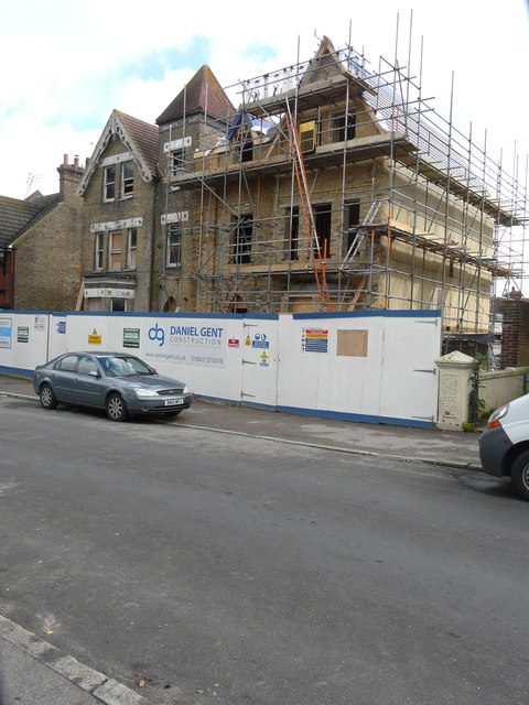
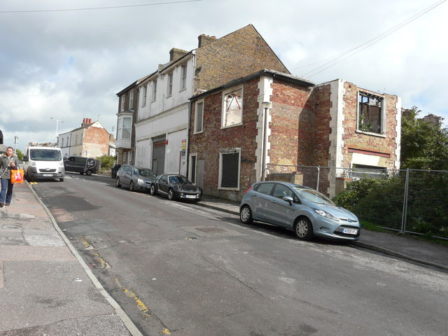
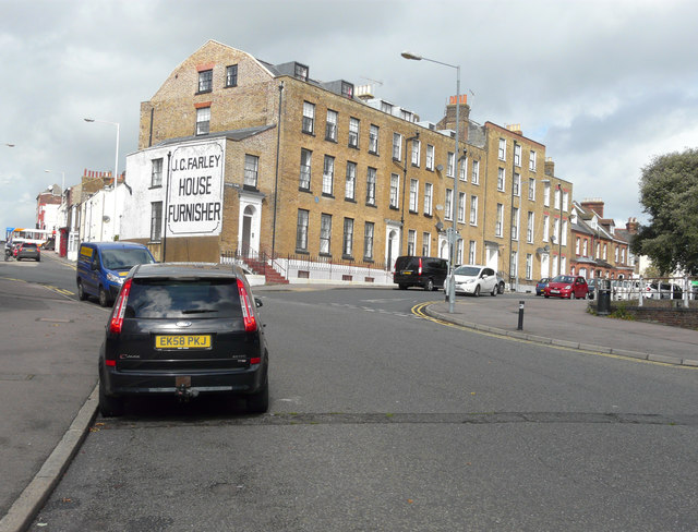
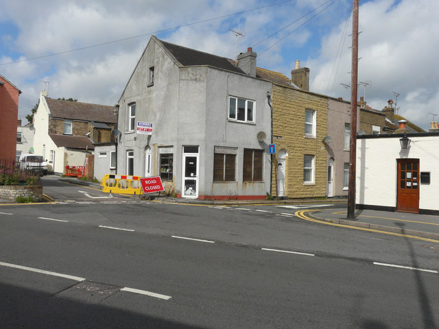
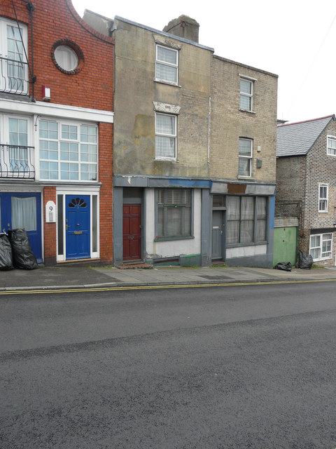
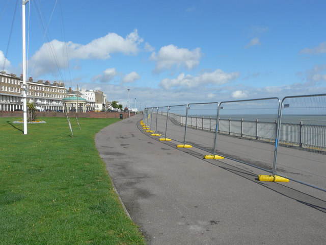
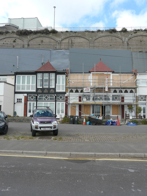
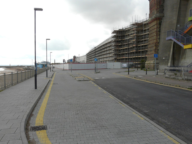
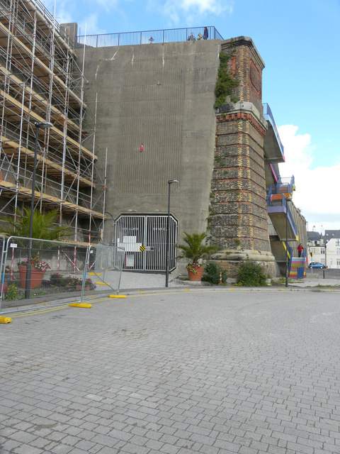
West Dumpton Images
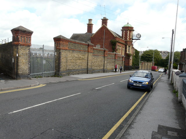
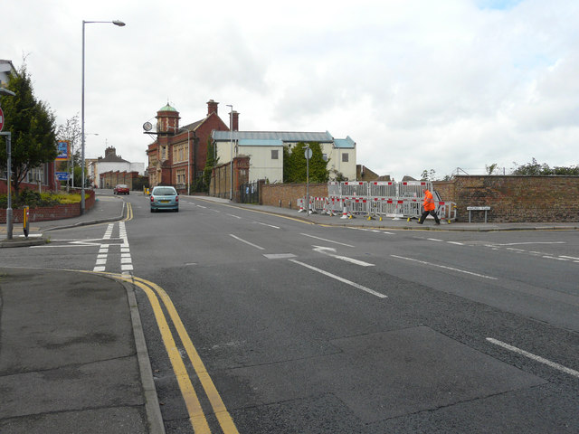
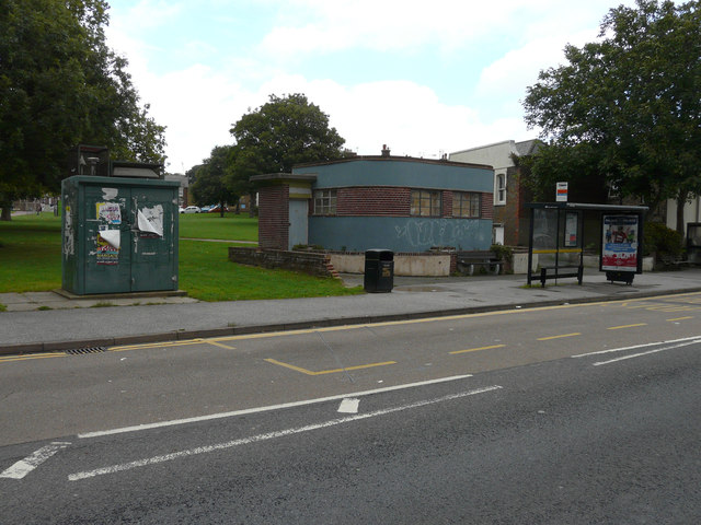
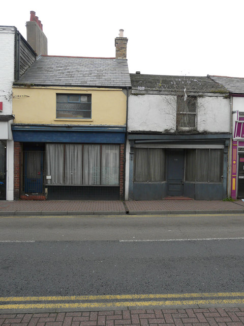
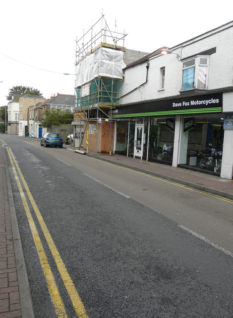
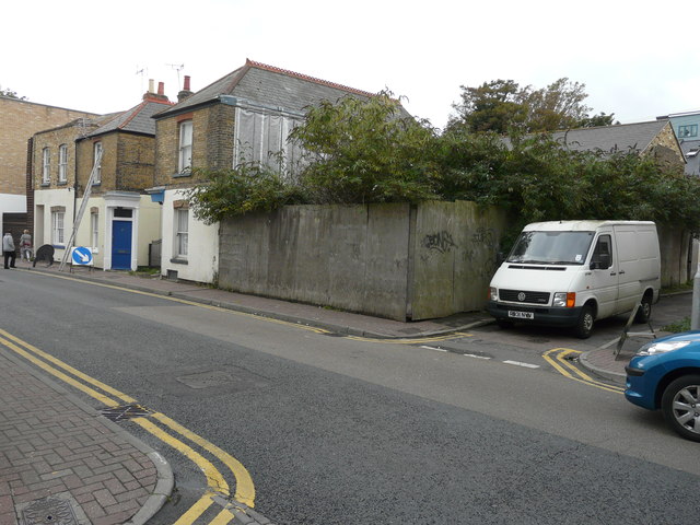
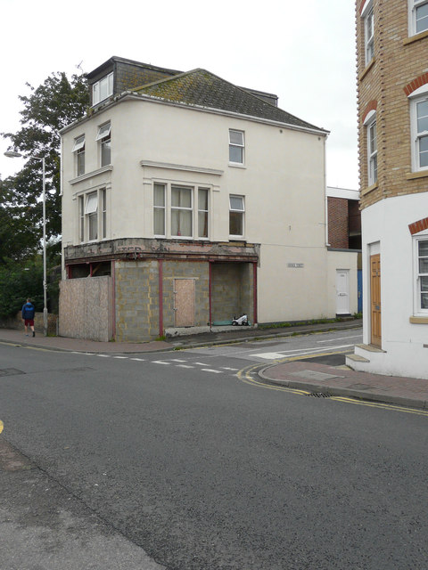
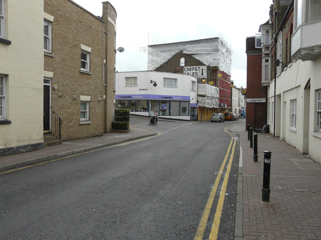
Images are sourced within 2km of 51.347372/1.4217924 or Grid Reference TR3866. Thanks to Geograph Open Source API. All images are credited.
West Dumpton is located at Grid Ref: TR3866 (Lat: 51.347372, Lng: 1.4217924)
Administrative County: Kent
District: Thanet
Police Authority: Kent
What 3 Words
///yappy.tidy.bland. Near Ramsgate, Kent
Nearby Locations
Related Wikis

St Peter's Court
St Peter's Court was a preparatory school for boys at Broadstairs in Kent, UK. In 1969, it merged with the nearby Wellesley House School and its site was...
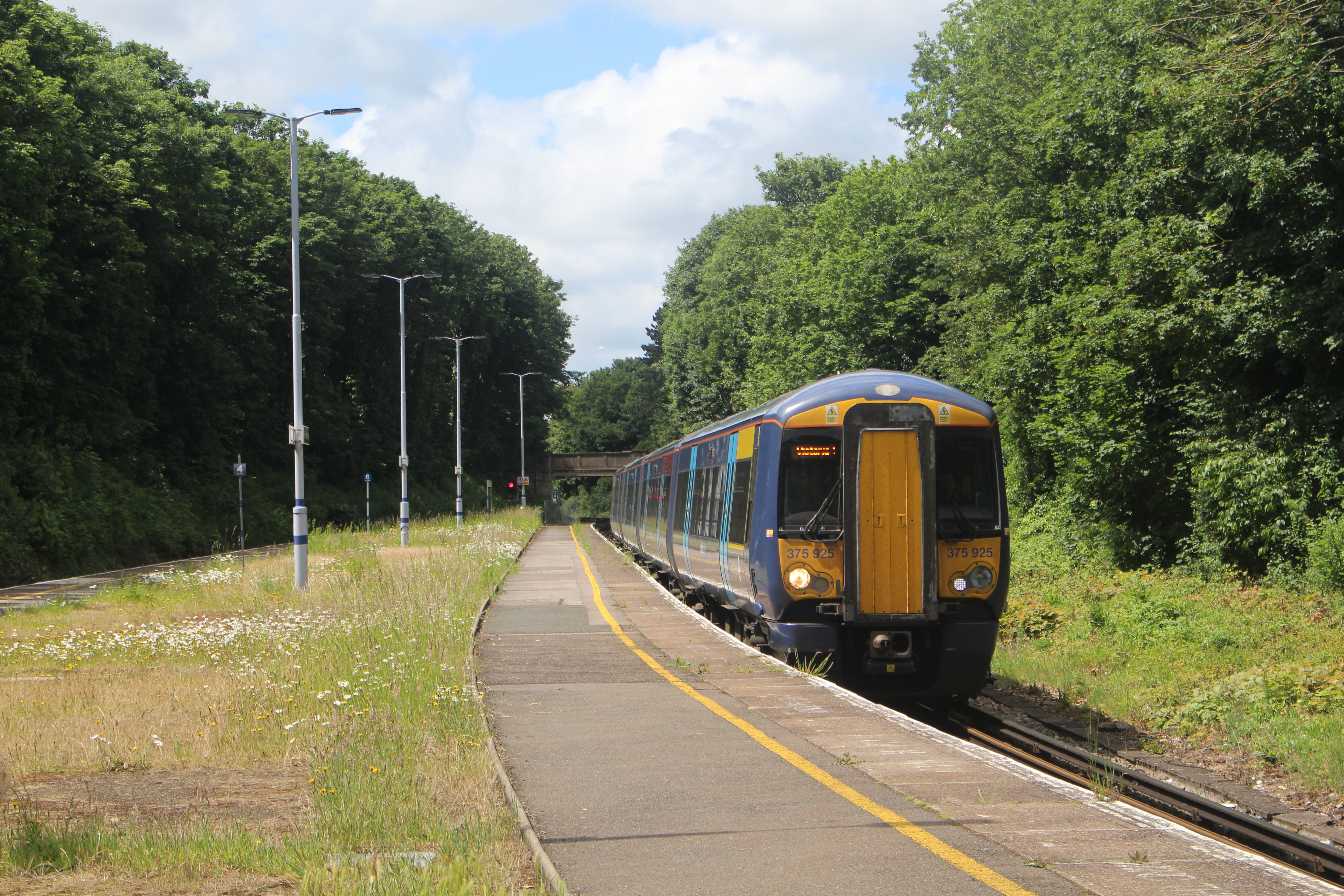
Dumpton Park railway station
Dumpton Park railway station is on the Chatham Main Line in England, serving the district of Dumpton between the towns of Broadstairs and Ramsgate, Kent...

St Lawrence College, Ramsgate
St Lawrence College is a co-educational independent school situated in Ramsgate, Kent and has been established as a "public school" ever since it was founded...

Montefiore Synagogue
The Montefiore Synagogue is the former private synagogue of Sir Moses Montefiore. It is an 1833, Grade II* listed building in Ramsgate, Kent, England...
Nearby Amenities
Located within 500m of 51.347372,1.4217924Have you been to West Dumpton?
Leave your review of West Dumpton below (or comments, questions and feedback).