West Crindledyke

Settlement in Lanarkshire

Scotland

West Crindledyke

White Cottage north of Cambusnethan Semi-rural cottage near Newmains.
White Cottage north of Cambusnethan Credit: G Laird

West Crindledyke is a small village located in the county of Lanarkshire, Scotland. Situated in the southern part of the county, it is surrounded by picturesque countryside and rolling hills. The village is part of the greater town of Hamilton and is approximately 2 miles west of its center.

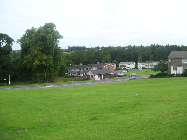
West Crindledyke is characterized by its peaceful and rural atmosphere. It is primarily a residential area, with a small population of close-knit community members. The village is known for its well-maintained houses, many of which boast traditional Scottish architecture.

Although small, West Crindledyke offers its residents a range of amenities. There is a local primary school within the village, providing education to the younger members of the community. Additionally, there are a few shops and services catering to the daily needs of the residents. For more extensive shopping and leisure activities, the town center of Hamilton is easily accessible.

Nature enthusiasts will find plenty to explore in the surrounding area. The village is in close proximity to the Chatelherault Country Park, a stunning nature reserve offering beautiful walks, picnic areas, and historical sites. The nearby River Avon also provides opportunities for fishing and scenic walks along its banks.

Overall, West Crindledyke is a charming village that offers a tranquil living environment with easy access to both rural and urban amenities. Its idyllic location and community spirit make it an attractive place to call home in Lanarkshire.

If you have any feedback on the listing, please let us know in the comments section below.

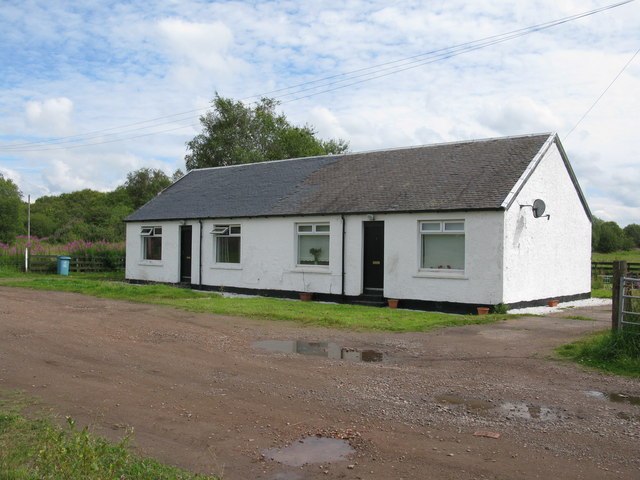
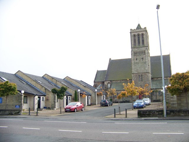
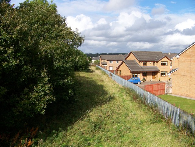
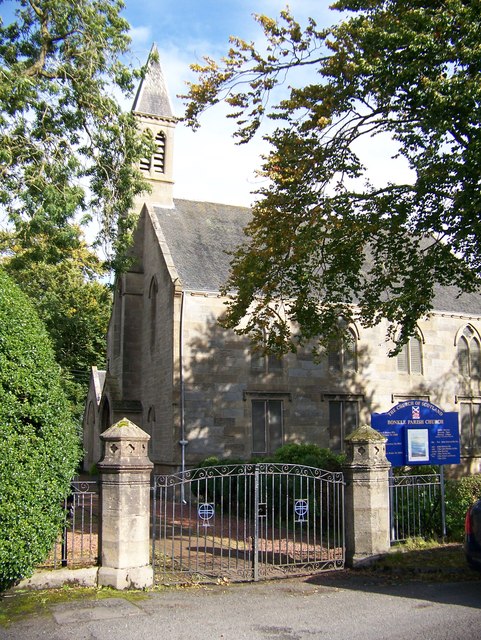
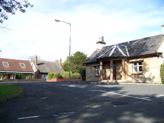
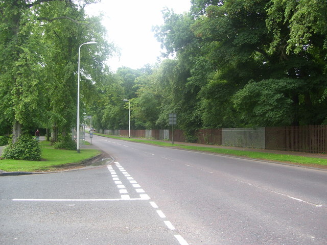
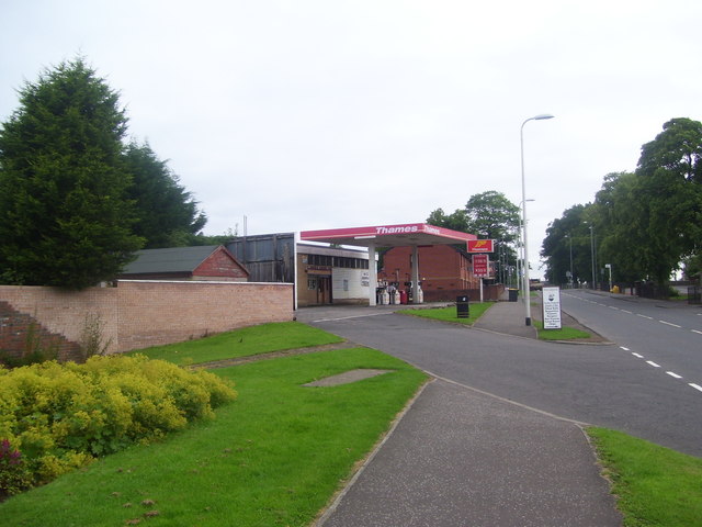
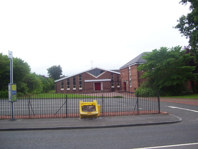
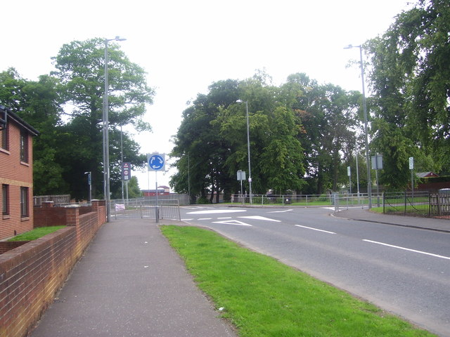
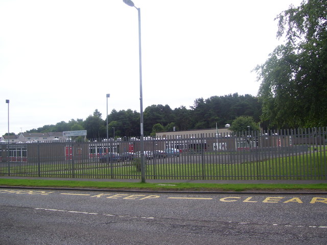
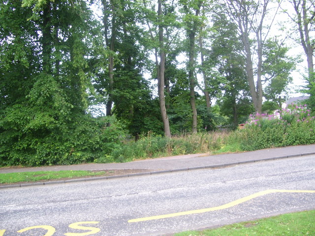
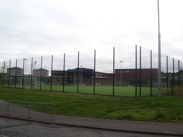
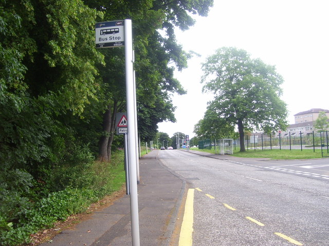
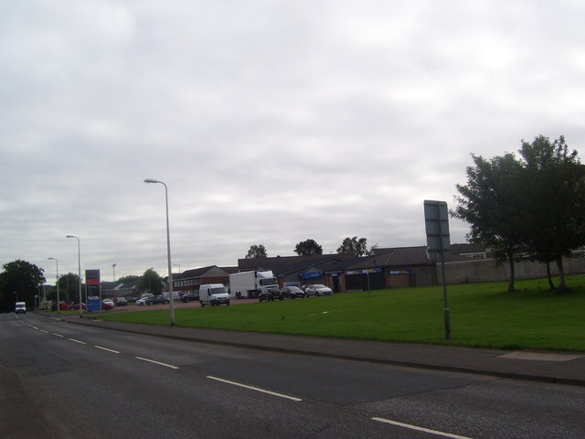
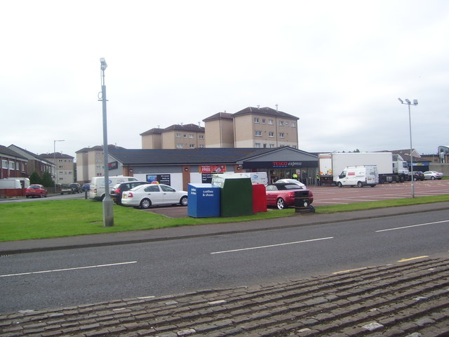
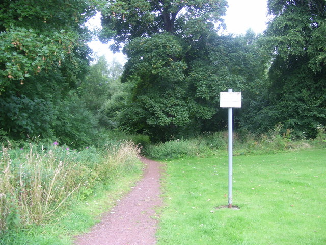
West Crindledyke Images

Images are sourced within 2km of 55.790091/-3.8873603 or Grid Reference NS8156. Thanks to Geograph Open Source API. All images are credited.

White Cottage north of Cambusnethan Semi-rural cottage near Newmains.
White Cottage north of Cambusnethan
Semi-rural cottage near Newmains.
Kirkgate and Coltness Memorial Church
Houses backing onto the disused rail track at Newmains
Bonkle Parish Church
A house with pillars in Bonkle I don't know if this was a gate house or a toll house
A house with pillars in Bonkle
I don't know if this was a gate house or a toll house
Coltness Road The main road travelling through the suburb.
Coltness Road
The main road travelling through the suburb.
Home Farm Garage The petrol station and garage on Coltness Road.
Home Farm Garage
The petrol station and garage on Coltness Road.
St. Aidan Catholic Church The church on Coltness Road.
St. Aidan Catholic Church
The church on Coltness Road.
Coltness Road roundabout The roundabout at Coltness Road.
Coltness Road roundabout
The roundabout at Coltness Road.
Edward Lawson Centre Social Services Building in Coltness.
Edward Lawson Centre
Social Services Building in Coltness.
St. Aidans Primary School A primary school on Coltness road.
St. Aidans Primary School
A primary school on Coltness road.
Pebble pathway A pathway into Coltness residential neighbourhood.
Pebble pathway
A pathway into Coltness residential neighbourhood.
Coltness Multi-Purpose Facility The new Calderbridge Primary School, Coltness Community Centre and astroturf football pitch on Coltness Road.
Coltness Multi-Purpose Facility
The new Calderbridge Primary School, Coltness Community Centre and astroturf football pitch on Coltness Road.
Coltness Bus Stops Bus Stops on Coltness Road.
Coltness Bus Stops
Bus Stops on Coltness Road.
Coltness Shops A shopping area on Coltness Road.
Coltness Shops
A shopping area on Coltness Road.
Coltness Tesco Express A Tesco Express store near Coltness Road.
Coltness Tesco Express
A Tesco Express store near Coltness Road.
North Dryburgh Road Housing and convenience store located on North Dryburgh Road.
North Dryburgh Road
Housing and convenience store located on North Dryburgh Road.
Entrance to woodland Woodland entrance near North Dryburgh Road.
Entrance to woodland
Woodland entrance near North Dryburgh Road.
Show me another place!

West Crindledyke is located at Grid Ref: NS8156 (Lat: 55.790091, Lng: -3.8873603)

Unitary Authority: North Lanarkshire

Police Authority: Lanarkshire

What 3 Words

///broker.seated.case. Near Newmains, North Lanarkshire

Nearby Locations

West Crindledyke

Related Wikis

Newmains

Newmains is a village and former mining community on the eastern edge of Wishaw, North Lanarkshire, Scotland, 18 miles (29 km) south-east of Glasgow. Although...

Newmains railway station

Newmains railway station served the village of Newmains, North Lanarkshire, Scotland from 1867 to 1930 on the Cleland to Morningside Line. == History... ==

Cambusnethan railway station

Cambusnethan railway station served the village of Cambusnethan, North Lanarkshire, Scotland, from 1901 to 1917 on the Wishaw, Cambusnethan and Coltness...

Cambusnethan

Cambusnethan is a large village and suburb on the eastern edge of Wishaw, North Lanarkshire in Scotland. It is approximately 1.5 miles (2.4 km) long, straddling...

Nearby Amenities

Located within 500m of 55.790091,-3.8873603
Noexit: yes
Lat/Long: 55.7874015/-3.884913
Noexit: yes
Lat/Long: 55.7889948/-3.8809039
Noexit: yes
Lat/Long: 55.7903945/-3.8836638
Noexit: yes
Lat/Long: 55.7871757/-3.8813402
Noexit: yes
Lat/Long: 55.7886138/-3.8829279
Noexit: yes
Lat/Long: 55.7899148/-3.8885558
Noexit: yes
Lat/Long: 55.7924076/-3.8884063
Noexit: yes
Lat/Long: 55.7924897/-3.8873166
Noexit: yes
Lat/Long: 55.7885327/-3.8856644
Noexit: yes
Lat/Long: 55.7911403/-3.8897332
Turning Circle
Lat/Long: 55.7924441/-3.882866
Turning Circle
Lat/Long: 55.7916479/-3.8799049
Turning Circle
Lat/Long: 55.7921063/-3.8809134
Noexit: yes
Lat/Long: 55.7908474/-3.8814293
Noexit: yes
Lat/Long: 55.791969/-3.8886024
Noexit: yes
Lat/Long: 55.7920181/-3.8889326
Noexit: yes
Lat/Long: 55.7884474/-3.8821627
Noexit: yes
Lat/Long: 55.7883593/-3.8838332
Noexit: yes
Lat/Long: 55.7879323/-3.8843271
Noexit: yes
Lat/Long: 55.787139/-3.8833438
Post Box
Collection Times: Mo-Fr 16:15; Sa 11:30
Operator: Royal Mail
Post Box Type: pillar
Ref: ML2 7
Royal Cypher: scottish_crown
Lat/Long: 55.7896543/-3.8851932
Fast Food
China Garden
Cuisine: chinese
Takeaway: only
Lat/Long: 55.7896981/-3.8855459
A & A Brothers
Shop: convenience
Lat/Long: 55.789741/-3.8855405
usave
Shop: supermarket
Lat/Long: 55.7898285/-3.8855298
Noexit: yes
Lat/Long: 55.7864467/-3.8831272
Noexit: yes
Lat/Long: 55.7888722/-3.8853581
Noexit: yes
Lat/Long: 55.7912191/-3.884327
Noexit: yes
Lat/Long: 55.7907696/-3.8846013
Noexit: yes
Lat/Long: 55.7905144/-3.8846146
Noexit: yes
Lat/Long: 55.7902476/-3.8846917
Noexit: yes
Lat/Long: 55.7882518/-3.884458
Noexit: yes
Lat/Long: 55.7882654/-3.8831174
Turning Circle
Lat/Long: 55.7904257/-3.8862392
Noexit: yes
Lat/Long: 55.7904302/-3.8860971
Give Way
Direction: backward
Lat/Long: 55.7884496/-3.8801756
Give Way
Direction: backward
Lat/Long: 55.7915297/-3.8811532
Noexit: yes
Lat/Long: 55.7907634/-3.8811751
Give Way
Direction: backward
Lat/Long: 55.7902486/-3.8812382
Noexit: yes
Lat/Long: 55.7890408/-3.8811768
Generator Method: photovoltaic
Generator Output Electricity: yes
Generator Source: solar
Generator Type: solar_photovoltaic_panel
Power: generator
Lat/Long: 55.7870796/-3.882169
Bus Stop
Newmains, Murodostoun View at King Street
Bus: yes
Naptan AtcoCode: 6160289
Naptan NaptanCode: 65232472
Public Transport: platform
Lat/Long: 55.7886258/-3.8812306
Bus Stop
Newmains, Murodostoun View at Coll Street
Bus: yes
Naptan AtcoCode: 6160290
Naptan NaptanCode: 65234927
Public Transport: platform
Lat/Long: 55.7892261/-3.8845258
Bus Stop
Newmains, Murodostoun View after Duke Street
Bus: yes
Naptan AtcoCode: 61601530
Naptan NaptanCode: 65234625
Public Transport: platform
Lat/Long: 55.7891545/-3.8846956
Bus Stop
Newmains, Murodostoun View after Branchalmuir Crescent
Bus: yes
Naptan AtcoCode: 6160291
Naptan NaptanCode: 65234384
Public Transport: platform
Lat/Long: 55.7893175/-3.8880243
Bus Stop
Newmains, Murodostoun View at Tilt Road
Bus: yes
Naptan AtcoCode: 6160292
Naptan NaptanCode: 65232952
Public Transport: platform
Lat/Long: 55.791282/-3.8891211
Bus Stop
Newmains, Tiree Crescent opp Dinnet Way
Bus: yes
Naptan AtcoCode: 6160293
Naptan NaptanCode: 65234648
Public Transport: platform
Lat/Long: 55.7915583/-3.8849658
Generator Method: photovoltaic
Generator Output Electricity: yes
Generator Source: solar
Generator Type: solar_photovoltaic_panel
Location: roof
Power: generator
Lat/Long: 55.7904477/-3.8794809
Generator Method: photovoltaic
Generator Output Electricity: yes
Generator Source: solar
Generator Type: solar_photovoltaic_panel
Location: roof
Power: generator
Lat/Long: 55.7904917/-3.8795795
Generator Method: photovoltaic
Generator Output Electricity: yes
Generator Source: solar
Generator Type: solar_photovoltaic_panel
Location: roof
Power: generator
Lat/Long: 55.7905603/-3.87974
Generator Method: photovoltaic
Generator Output Electricity: yes
Generator Source: solar
Generator Type: solar_photovoltaic_panel
Location: roof
Power: generator
Lat/Long: 55.7905877/-3.8798529
Generator Method: photovoltaic
Generator Output Electricity: yes
Generator Source: solar
Generator Type: solar_photovoltaic_panel
Location: roof
Power: generator
Lat/Long: 55.7906254/-3.880045
Generator Method: photovoltaic
Generator Output Electricity: yes
Generator Source: solar
Generator Type: solar_photovoltaic_panel
Location: roof
Power: generator
Lat/Long: 55.7906368/-3.8801659
Generator Method: photovoltaic
Generator Output Electricity: yes
Generator Source: solar
Generator Type: solar_photovoltaic_panel
Location: roof
Power: generator
Lat/Long: 55.7906414/-3.8803834
Generator Method: photovoltaic
Generator Output Electricity: yes
Generator Source: solar
Generator Type: solar_photovoltaic_panel
Location: roof
Power: generator
Lat/Long: 55.7906368/-3.8804871
Generator Method: photovoltaic
Generator Output Electricity: yes
Generator Source: solar
Generator Type: solar_photovoltaic_panel
Location: roof
Power: generator
Lat/Long: 55.7906134/-3.8806802
Generator Method: photovoltaic
Generator Output Electricity: yes
Generator Source: solar
Generator Type: solar_photovoltaic_panel
Location: roof
Power: generator
Lat/Long: 55.7905888/-3.8808011
Generator Method: photovoltaic
Generator Output Electricity: yes
Generator Source: solar
Generator Type: solar_photovoltaic_panel
Location: roof
Power: generator
Lat/Long: 55.7905031/-3.8810593
Generator Method: photovoltaic
Generator Output Electricity: yes
Generator Source: solar
Generator Type: solar_photovoltaic_panel
Location: roof
Power: generator
Lat/Long: 55.7903154/-3.8806766
The data included in this document is from www.openstreetmap.org. The data is made available under ODbL.

Have you been to West Crindledyke?

Leave your review of West Crindledyke below (or comments, questions and feedback).