West Craigs
Settlement in Midlothian
Scotland
West Craigs
West Craigs is a residential area located in Midlothian, Scotland. Situated approximately 6 miles southwest of the capital city of Edinburgh, West Craigs is a relatively new development that has garnered a reputation as a desirable place to live.
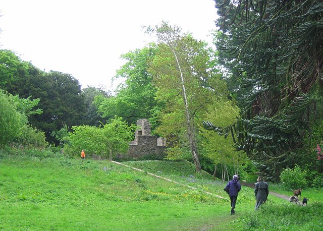
One of the defining features of West Craigs is its picturesque surroundings. The area is surrounded by lush greenery, with several parks and open spaces providing ample opportunities for outdoor activities. The Pentland Hills Regional Park, located just a short distance to the south, offers stunning panoramic views and a range of walking trails for nature enthusiasts.
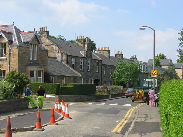
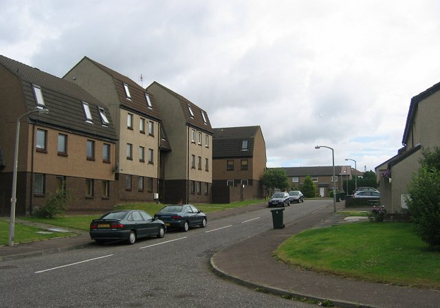
The housing in West Craigs primarily consists of modern, well-designed properties. The development includes a mix of detached and semi-detached houses, as well as some apartment complexes, catering to a variety of housing needs. The houses are often characterized by their contemporary architecture, spacious layouts, and well-maintained gardens.
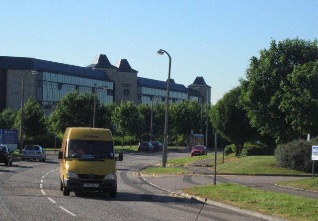
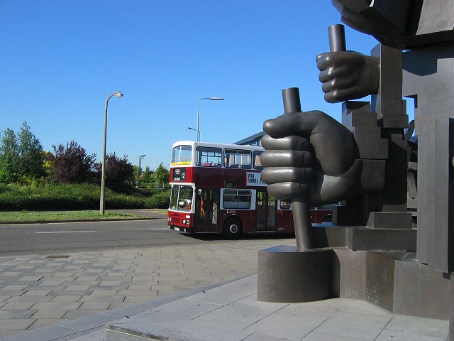
Residents of West Craigs benefit from excellent transport links. The area is well-connected to both Edinburgh and other nearby towns via the A720 City Bypass, making commuting convenient for those working in the city. Additionally, there are regular bus services that serve the area, providing easy access to local amenities and attractions.
In terms of amenities, West Craigs boasts a range of facilities to cater to the needs of its residents. The nearby area of Hermiston Gait offers a variety of shops, supermarkets, and restaurants, ensuring that daily essentials and leisure activities are easily accessible. There are also several schools in the vicinity, making it an attractive location for families with children.
Overall, West Craigs presents an attractive option for those seeking a peaceful and well-connected residential area with modern amenities and natural beauty right on their doorstep.
If you have any feedback on the listing, please let us know in the comments section below.
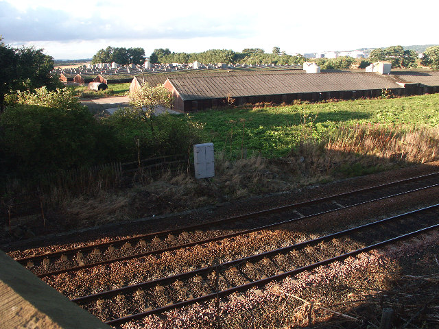
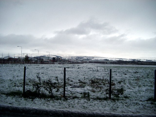
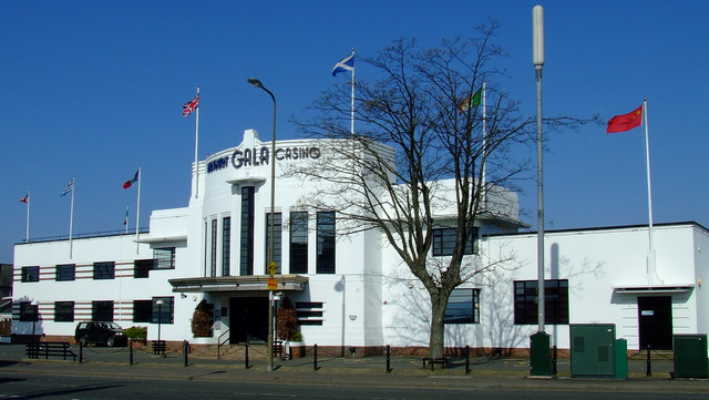
West Craigs Images
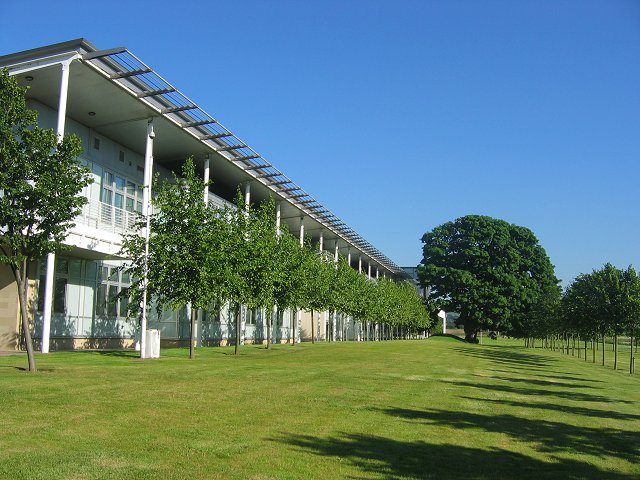
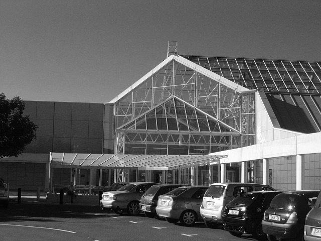
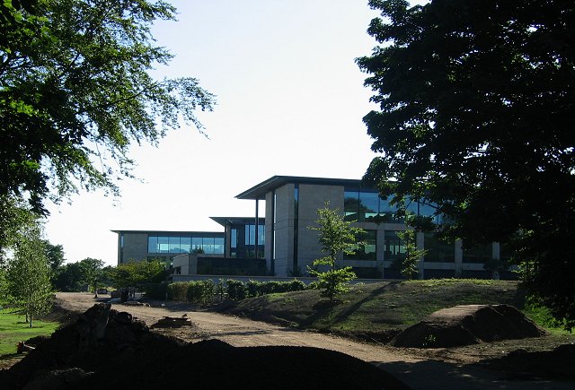
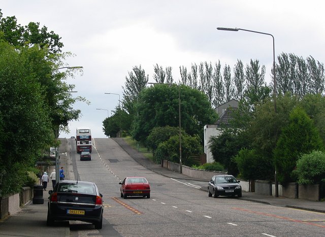
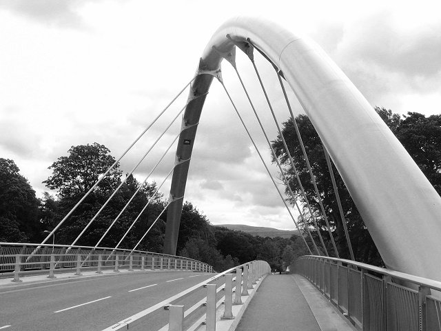
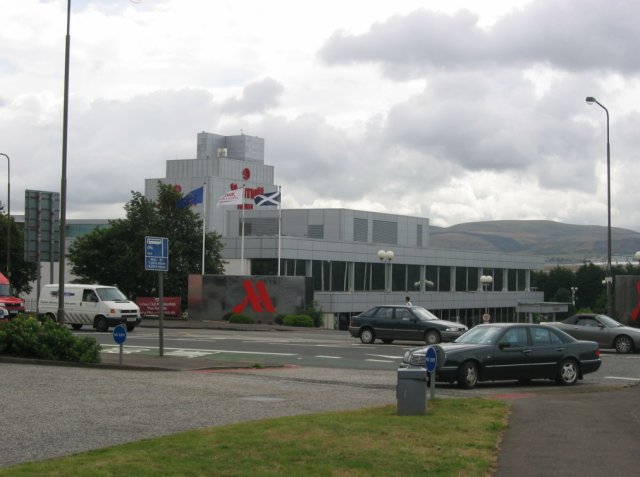
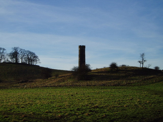
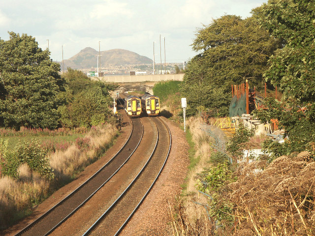
Images are sourced within 2km of 55.941017/-3.3154508 or Grid Reference NT1772. Thanks to Geograph Open Source API. All images are credited.
West Craigs is located at Grid Ref: NT1772 (Lat: 55.941017, Lng: -3.3154508)
Unitary Authority: City of Edinburgh
Police Authority: Edinburgh
What 3 Words
///suffice.loser.spoon. Near Ratho Station, Edinburgh
Nearby Locations
Related Wikis
Maybury
Maybury is an area on the western edge of Edinburgh, Scotland, near South Gyle and Ingliston, named after the road, which is itself named after the civil...

The Gyle Shopping Centre
Gyle Shopping Centre is a shopping center located in the South Gyle area of Edinburgh, Scotland. The main centre has two anchor tenants, Marks & Spencer...
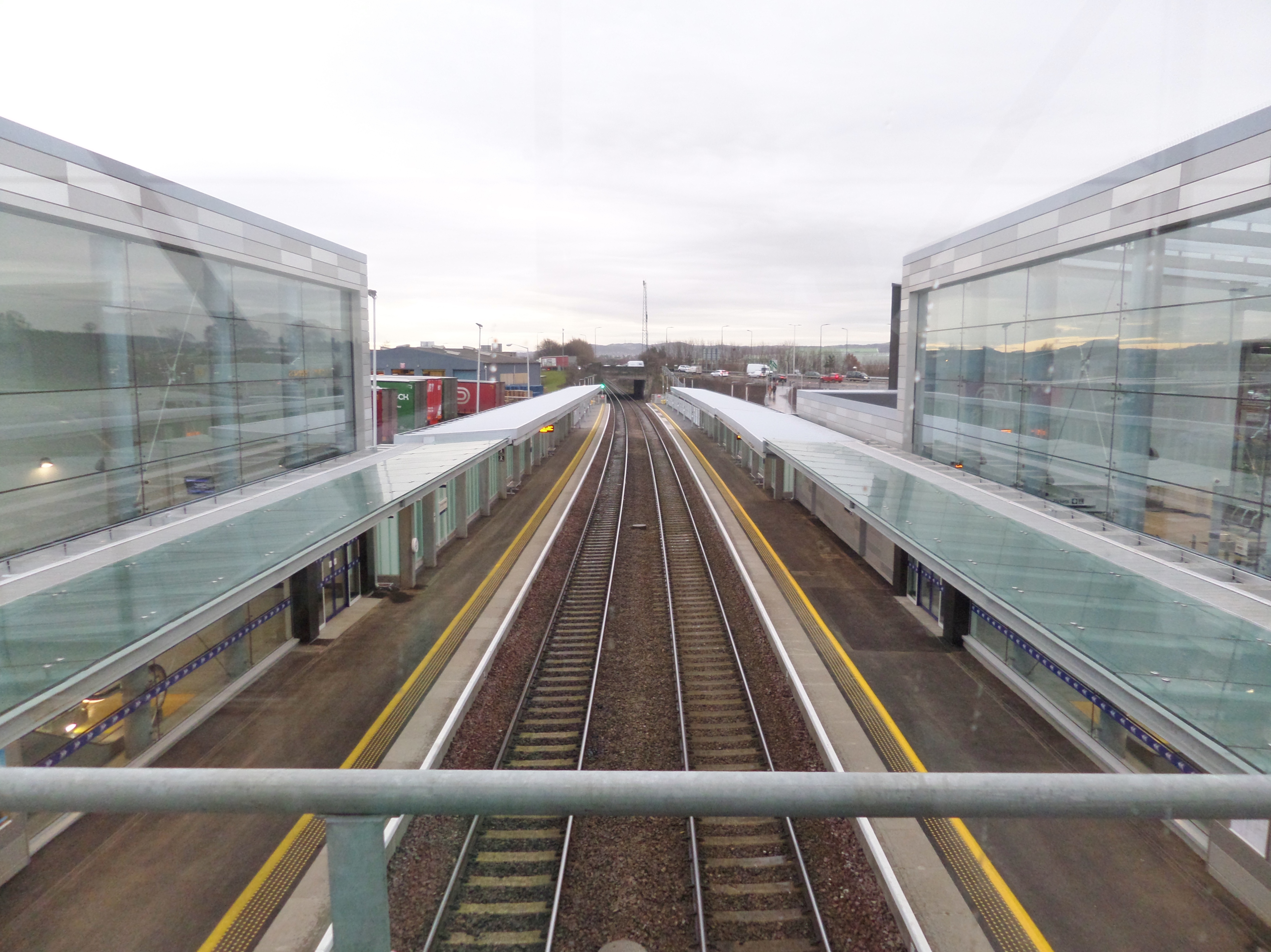
Edinburgh Gateway station
Edinburgh Gateway station is a railway station and interchange at Gogar in Edinburgh, Scotland, which opened on 11 December 2016. It is served by ScotRail...

Craigmount High School
Craigmount High School is a non-denominational secondary school in Edinburgh, Scotland with 1,269 pupils located in the west of Edinburgh, Scotland. It...
Nearby Amenities
Located within 500m of 55.941017,-3.3154508Have you been to West Craigs?
Leave your review of West Craigs below (or comments, questions and feedback).