Wath

Settlement in Cumberland Allerdale

England

Wath

Dicktrod Lane, Skinburness Indicated on the sign to be a private road, Dicktrod Lane (Dick Trod Lane on Ordnance Survey Maps) was an established right of way between Skinburness and the shore at Skinburnessbank long before the housing estate it now serves was built.
Dicktrod Lane, Skinburness Credit: Adrian Taylor

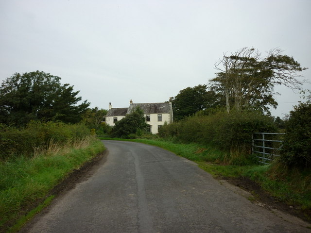
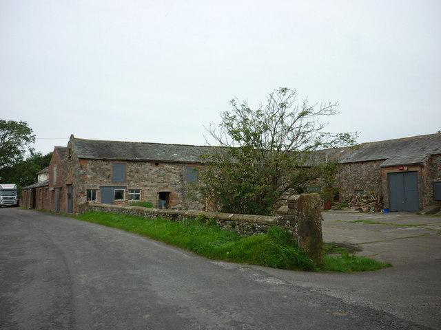
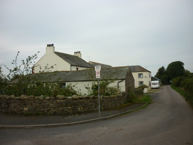
Wath is a small village located in the historic county of Cumberland, in the northwestern region of England. It is situated in the district of Eden, within the picturesque Eden Valley. The village lies approximately 10 miles east of the town of Penrith and is surrounded by beautiful countryside, offering panoramic views of the nearby fells and hills.

Wath is a rural community with a population of around 300 residents. The village retains its quaint, traditional charm, with a collection of stone-built houses and a few small businesses. The local economy primarily revolves around agriculture, with farming being the main occupation for many of its inhabitants.

One of the notable landmarks in Wath is the St. Mary's Church, a Grade II listed building that dates back to the 12th century. The church features a unique combination of architectural styles, including Norman and Gothic elements, and is a significant historical and cultural site within the village.

Wath is also known for its serene and tranquil atmosphere, making it an ideal destination for those seeking a peaceful retreat or a base to explore the surrounding countryside. The village is surrounded by numerous walking and cycling routes, providing opportunities for outdoor pursuits and enjoying the natural beauty of the area.

Overall, Wath offers a glimpse into rural life in Cumberland, with its charming village setting, agricultural heritage, and stunning natural landscapes.

If you have any feedback on the listing, please let us know in the comments section below.
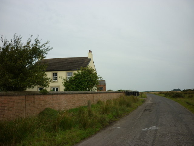
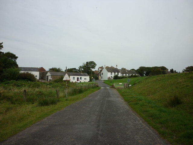
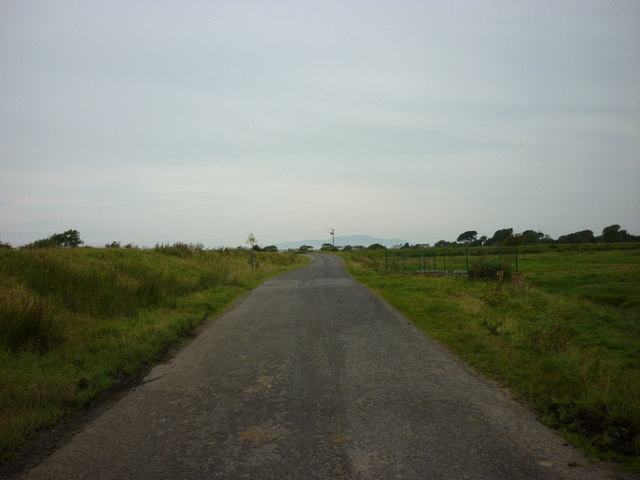
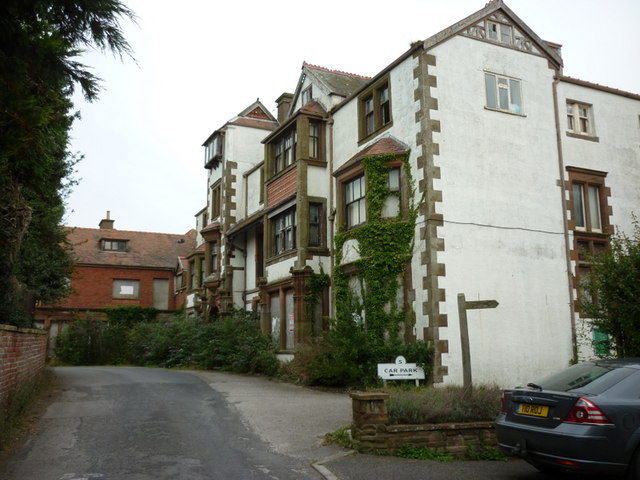
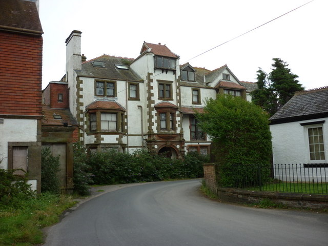
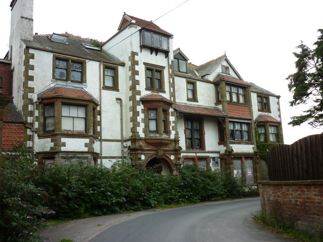
Wath Images

Images are sourced within 2km of 54.875389/-3.3477743 or Grid Reference NY1354. Thanks to Geograph Open Source API. All images are credited.

Dicktrod Lane, Skinburness Indicated on the sign to be a private road, Dicktrod Lane (Dick Trod Lane on Ordnance Survey Maps) was an established right of way between Skinburness and the shore at Skinburnessbank long before the housing estate it now serves was built.
Dicktrod Lane, Skinburness
Indicated on the sign to be a private road, Dicktrod Lane (Dick Trod Lane on Ordnance Survey Maps) was an established right of way between Skinburness and the shore at Skinburnessbank long before the housing estate it now serves was built.
Whiteways Cottages at road junction The road to the right goes to Grune Point, the one to the left into Skinburness.
Whiteways Cottages at road junction
The road to the right goes to Grune Point, the one to the left into Skinburness.
Building at entrance to former airfield This appears to be a former RAF guard house.
Building at entrance to former airfield
This appears to be a former RAF guard house.
Church of St Paul
Church of St Paul
Former RAF hangar At the former Silloth airfield now used in connection with road transport
Former RAF hangar
At the former Silloth airfield now used in connection with road transport
Former RAF Silloth The hangars in this view are associated with road haulage and storage, but behind is a concrete factory and all are in the same company group
Former RAF Silloth
The hangars in this view are associated with road haulage and storage, but behind is a concrete factory and all are in the same company group
Entering Calvo
Entering Calvo
Hartlaw Farmhouse
Hartlaw Farmhouse
Hartlaw Farm
Hartlaw Farm
Buildings near Wath Farm
A minor road to Skinburness
Sea Dike End
Sea Dike End
The flood gate at Sea Dyke End
Entering Skinburnness
The minor road to Skinburness
Skinburness Hotel, Skinburness
Show me another place!

Wath is located at Grid Ref: NY1354 (Lat: 54.875389, Lng: -3.3477743)

Administrative County: Cumbria

District: Allerdale

Police Authority: Cumbria

What 3 Words

///define.dabbling.cost. Near Silloth, Cumbria

Nearby Locations

Wath

Related Wikis

Calvo, Cumbria

Calvo is a hamlet in Cumbria, England. == See also == Listed buildings in Holme Low == References ==
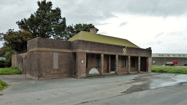
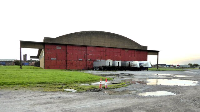
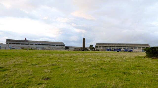
RAF Silloth

Royal Air Force Silloth, or more simply RAF Silloth, is a former Royal Air Force station one mile (1.6 km) north-east of Silloth, Cumbria, England, and...

Solway Coast

The Solway Coast is a designated Area of Outstanding Natural Beauty in northern Cumbria, England. It incorporates two areas of coastline along the Solway...

Causewayhead

Causewayhead is a hamlet in the civil parish of Holme Low in Cumbria, England, about 1 mile (2 km) south-east of Silloth. The B5302 road runs through the...

Nearby Amenities

Located within 500m of 54.875389,-3.3477743
Barrier: cattle_grid
Source: survey
Lat/Long: 54.8780957/-3.3457959
Generator Method: photovoltaic
Generator Output Electricity: yes
Generator Source: solar
Generator Type: solar_photovoltaic_panel
Location: roof
Power: generator
Lat/Long: 54.8751081/-3.348402
Wath
Place: locality
Lat/Long: 54.8753122/-3.349026
Sea Dyke End
Place: locality
Lat/Long: 54.879716/-3.3464382
Power: pole
Lat/Long: 54.879671/-3.3461374
Power: pole
Lat/Long: 54.8796524/-3.3469384
Power: pole
Lat/Long: 54.8796721/-3.3479977
Power: pole
Lat/Long: 54.8796826/-3.3491397
Power: pole
Lat/Long: 54.8743313/-3.3525313
Power: pole
Lat/Long: 54.871855/-3.344598
Power: pole
Lat/Long: 54.8724471/-3.3449006
Power: pole
Lat/Long: 54.8732597/-3.3456572
Power: pole
Lat/Long: 54.8739261/-3.3463109
Power: pole
Lat/Long: 54.8746168/-3.3469889
Power: pole
Lat/Long: 54.8753226/-3.3476648
Power: pole
Lat/Long: 54.8763094/-3.3473056
Power: pole
Lat/Long: 54.8771486/-3.3470131
Power: pole
Lat/Long: 54.877996/-3.3467064
Power: pole
Lat/Long: 54.8788167/-3.3463977
Power: pole
Lat/Long: 54.8741664/-3.3540486
Power: pole
Lat/Long: 54.87425/-3.3511997
Power: pole
Lat/Long: 54.8741652/-3.3499023
Power: pole
Lat/Long: 54.8740608/-3.3483669
Power: pole
Lat/Long: 54.8739687/-3.3469606
The data included in this document is from www.openstreetmap.org. The data is made available under ODbL.

Have you been to Wath?

Leave your review of Wath below (or comments, questions and feedback).