Wath
Settlement in Dumfriesshire
Scotland
Wath

The requested URL returned error: 429 Too Many Requests
If you have any feedback on the listing, please let us know in the comments section below.
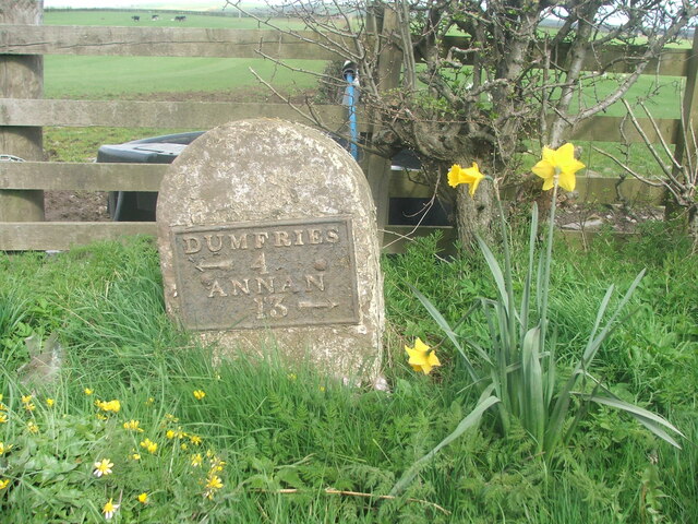
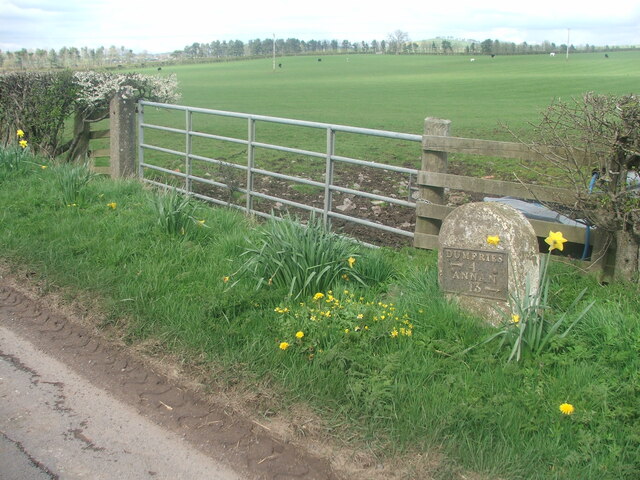
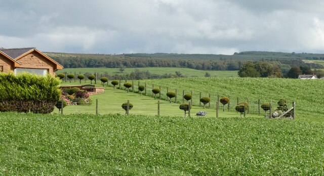
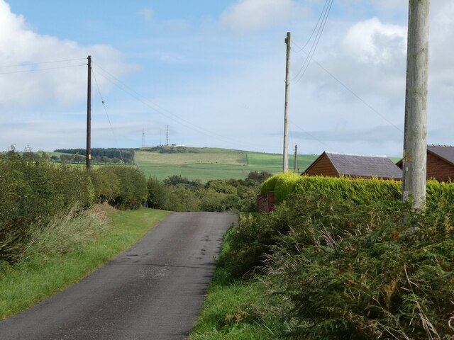
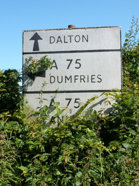
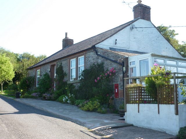
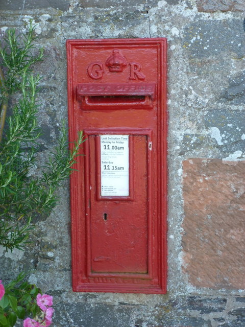
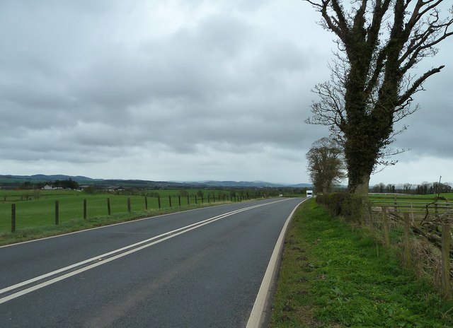
Wath Images
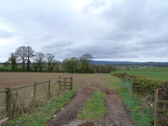
Images are sourced within 2km of 55.049105/-3.4950444 or Grid Reference NY0473. Thanks to Geograph Open Source API. All images are credited.


Wath is located at Grid Ref: NY0473 (Lat: 55.049105, Lng: -3.4950444)
Unitary Authority: Dumfries and Galloway
Police Authority: Dumfries and Galloway
What 3 Words
///impaired.static.dressy. Near Dumfries, Dumfries & Galloway
Nearby Locations
Related Wikis

Racks railway station
Racks railway station was a railway station in Dumfries and Galloway, Scotland, south of Dumfries, OS NGR NY 033 743, serving and effectively creating...

Rockhall Tower
Rockhall Tower, also known as Rockhall House or Rockhall Tower House, is a 16th-century tower house in Collin, Dumfries and Galloway. The castle originally...

Mouswald
Mouswald is a rural village slightly east of Dumfries in south-west Scotland. It lies on the B724 south of the A75. The site views southward over the Solway...

Collin, Dumfries and Galloway
Collin is a small village between Dumfries and Gretna in Dumfries and Galloway, Scotland. It is located on the Lochar Water, and the A75 road. It lies...
Nearby Amenities
Located within 500m of 55.049105,-3.4950444Have you been to Wath?
Leave your review of Wath below (or comments, questions and feedback).