Viables

Settlement in Hampshire Basingstoke and Deane

England

Viables

The entrance to Datasharp, Cliddesden Datasharp provide business software <span class="nowrap"><a title="http://www.datasharp.co.uk/" rel="nofollow ugc noopener" href="http://www.datasharp.co.uk/">Link</a><img style="margin-left:2px;" alt="External link" title="External link - shift click to open in new window" src="https://s1.geograph.org.uk/img/external.png" width="10" height="10"/></span>
The entrance to Datasharp, Cliddesden Credit: David Howard

Viables is a suburban area located in the county of Hampshire, England. Situated on the outskirts of the town of Basingstoke, it is a popular residential area known for its peaceful surroundings and convenient amenities.

The area primarily consists of residential properties, ranging from modern houses to traditional cottages. Viables offers a range of housing options, making it attractive to families, professionals, and retirees alike. The properties are well-maintained, and the area boasts a pleasant, safe environment for residents.

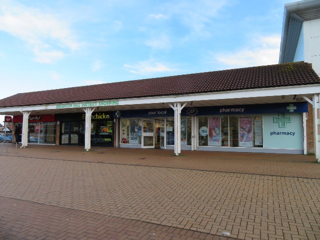
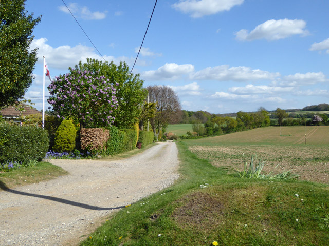
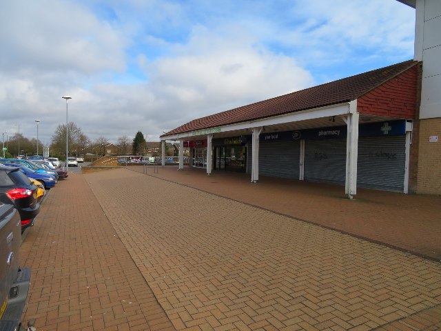
Viables is well-served by local amenities, including a small shopping center that provides essential services and shops for everyday needs. The area also benefits from a variety of recreational spaces, with several parks and green areas that offer opportunities for outdoor activities and relaxation. Viables Mill Park, in particular, is a popular spot where residents can enjoy picnics, walks, or simply unwind amidst nature.

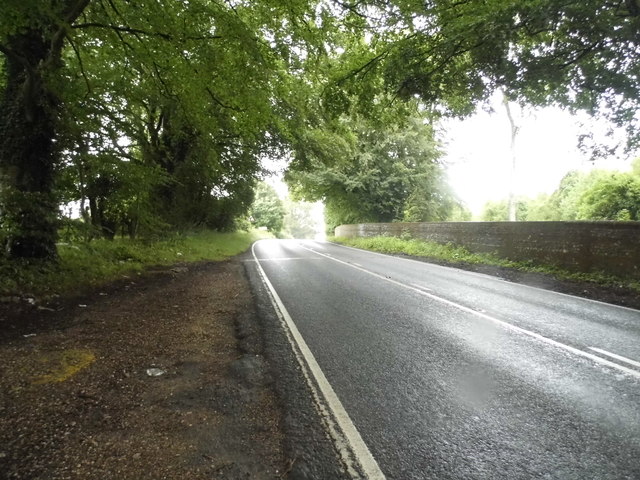
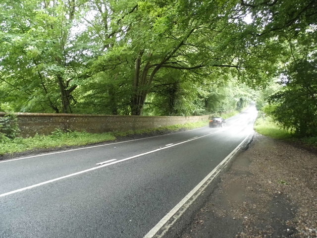
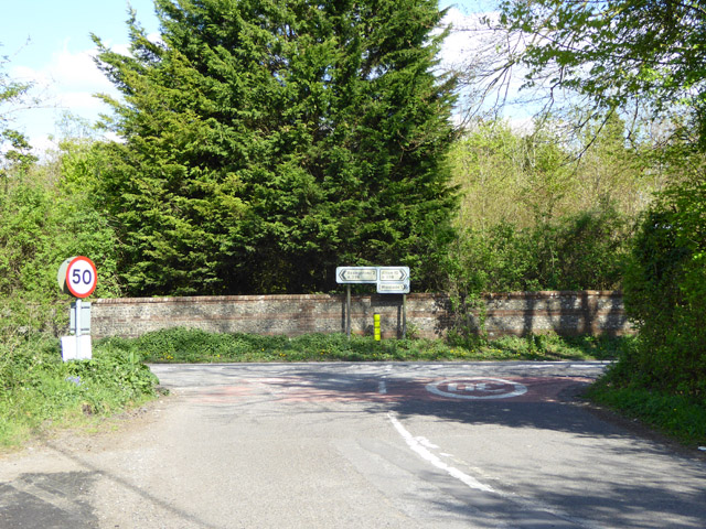
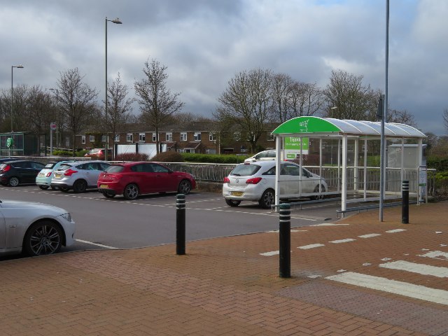
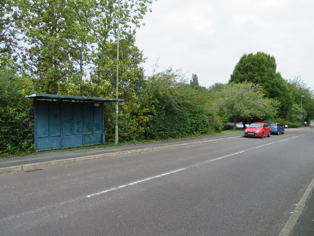
Transport links in Viables are convenient, with good access to the A30 road, connecting it to neighboring towns and cities. Basingstoke town center is within easy reach, offering a wider range of amenities, including shopping centers, restaurants, and entertainment facilities. The area is also well-connected by public transportation, with regular bus services operating to and from Viables.

Overall, Viables in Hampshire offers a pleasant and peaceful suburban living experience, combining the tranquility of a residential area with the convenience of nearby amenities. Its attractive housing, green spaces, and accessibility make it a desirable place to reside for a diverse range of residents.

If you have any feedback on the listing, please let us know in the comments section below.
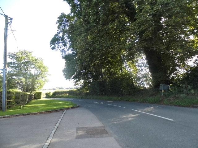
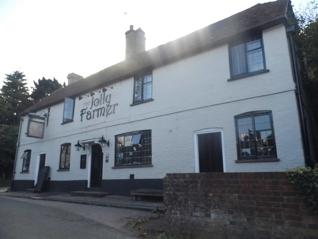
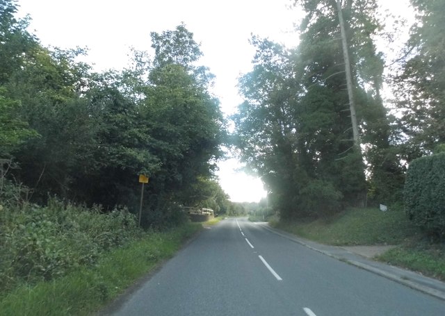
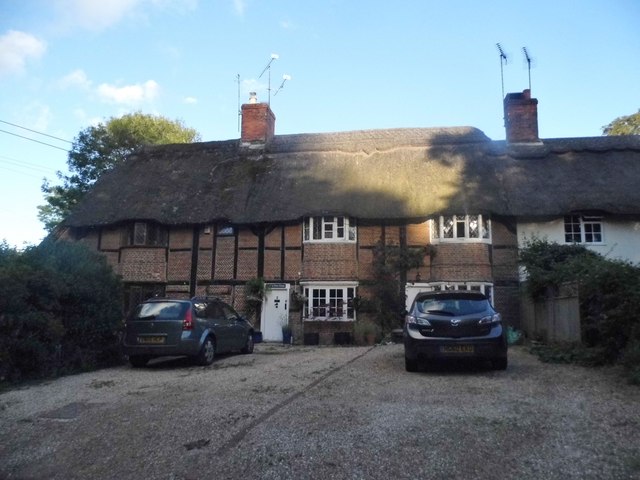
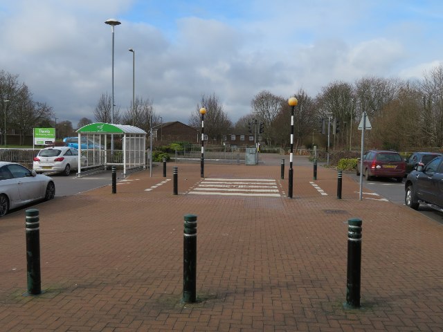
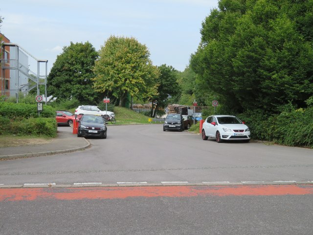
Viables Images

Images are sourced within 2km of 51.248185/-1.0986954 or Grid Reference SU6350. Thanks to Geograph Open Source API. All images are credited.

The entrance to Datasharp, Cliddesden Datasharp provide business software <span class="nowrap"><a title="http://www.datasharp.co.uk/" rel="nofollow ugc noopener" href="http://www.datasharp.co.uk/">Link</a><img style="margin-left:2px;" alt="External link" title="External link - shift click to open in new window" src="https://s1.geograph.org.uk/img/external.png" width="10" height="10"/></span>
The entrance to Datasharp, Cliddesden
Datasharp provide business software LinkExternal link
Farleigh Road, Cliddesden
The Jolly Farmer, Cliddesden
Farleigh Road, Cliddesden
Thatched cottages on Farleigh Road, Cliddesden
The A339 near Cliddesden
M3, westbound The M3 motorway runs for 59 miles from Sunbury-on-Thames to Southampton. Construction started 1968 and was finally completed in 1995. The Winchester bypass through Twyford Downs was the most controversial section to be built.
Wikipedia: <span class="nowrap"><a title="http://en.wikipedia.org/wiki/M3_motorway_(Great_Britain)" rel="nofollow ugc noopener" href="http://en.wikipedia.org/wiki/M3_motorway_(Great_Britain)">Link</a><img style="margin-left:2px;" alt="External link" title="External link - shift click to open in new window" src="https://s1.geograph.org.uk/img/external.png" width="10" height="10"/></span>
M3, westbound
The M3 motorway runs for 59 miles from Sunbury-on-Thames to Southampton. Construction started 1968 and was finally completed in 1995. The Winchester bypass through Twyford Downs was the most controversial section to be built. Wikipedia: LinkExternal link
Brighton Hill District Shopping
Ordnance Survey Flush Bracket G3399 This bracket can be found on the wall of Otters Day Nursery at Cliddesden.
For more detail see : <span class="nowrap"><a title="http://www.bench-marks.org.uk/bm13961" rel="nofollow ugc noopener" href="http://www.bench-marks.org.uk/bm13961">Link</a><img style="margin-left:2px;" alt="External link" title="External link - shift click to open in new window" src="https://s1.geograph.org.uk/img/external.png" width="10" height="10"/></span>
Ordnance Survey Flush Bracket G3399
This bracket can be found on the wall of Otters Day Nursery at Cliddesden. For more detail see : LinkExternal link
Unmade road off Hackwood Lane A short residential dead-end.
Unmade road off Hackwood Lane
A short residential dead-end.
Hackwood Lane meets the A339
Brighton Hill District Shopping
Asda car park - Brighton Hill
Access off Jays Close
Redundant bus stop - Jays Close
Show me another place!

Viables is located at Grid Ref: SU6350 (Lat: 51.248185, Lng: -1.0986954)

Administrative County: Hampshire

District: Basingstoke and Deane

Police Authority: Hampshire

What 3 Words

///bleat.care.skills. Near Basingstoke, Hampshire

Nearby Locations

Viables Cranbourne

Related Wikis

Viables

Viables is a district of Basingstoke, England, that was formed around 1970 as part of the Basingstoke Town Centre Development Plan. The area is mostly...

Cranbourne School

Cranbourne is a co-educational secondary school in Basingstoke, northern Hampshire, England. The school serves Key Stage 3 and Key Stage 4 students between...

Brighton Hill

Brighton Hill is a district of Basingstoke, England, that was formed around 1970 as part of the Town Centre Development Plan. The area is bounded to the...

Brighton Hill Community School

Brighton Hill Community School (known locally as BHCS) is a coeducational secondary school located in Brighton Hill, Basingstoke in the county of Hampshire...

Related Videos

Top of the Town Basingstoke | Keep Walking 4K

From street entertainment, theatre and festivals to learning workshops, museums and family fun, the Top of the Town website is ...

Walking Tour - Basingstoke Town Centre | Festival Place | Keep Walking 4K

Walking around Basingstoke Town Centre to Festival Place Mall. Time of video: 1400 to 1500 Follow me on Facebook - Keep ...

Basingstoke Hiking

Basingstoke (England) Hiking - 26 kms - 2020 - GoPro https://es.wikiloc.com/rutas-senderismo/basingstoke-hiking-60028573 ...

Walking Tour - Sunny Basingstoke Town Centre | Top of the Town | Keep Walking 4K

It's a beautiful sunny Saturday at Basingstoke Town Centre Time of video: 1330 to 1430 Follow me on Facebook - Keep Walking ...

Nearby Amenities

Located within 500m of 51.248185,-1.0986954
Crossing
Bicycle: yes
Crossing: traffic_signals
Crossing Ref: toucan
Ref: TOU010
Traffic Signals Sound: yes
Lat/Long: 51.2473271/-1.1004984
Bus Stop
Viables Ind Est (motorola)
Bus: yes
Bus Shelter: no
Layby: no
Local Ref: 2
Naptan AtcoCode: 1900HAA13413
Naptan Bearing: NW
Naptan CommonName: Viables Ind Est (motorola)
Naptan Crossing: Hatch Warren Lane
Naptan NaptanCode: hamgamtm
Naptan PlusbusZoneRef: BSNGSTK
Naptan Street: Jays Close
Naptan Verified: yes
Public Transport: platform
Source: naptan_import
Lat/Long: 51.2453315/-1.0994921
Crossing
Crossing: unmarked
Crossing Island: no
Crossing Markings: no
Fixme: check position
Kerb: lowered
Surface: paved
Tactile Paving: yes
Lat/Long: 51.2479461/-1.0939812
Turning Circle
Lat/Long: 51.24983/-1.0989222
Crossing
Crossing: unmarked
Kerb: lowered
Sloped Curb: yes
Lat/Long: 51.2500914/-1.0992743
Turning Circle
Lat/Long: 51.251868/-1.1000831
Post Box
Brand: Royal Mail
Brand Wikidata: Q638098
Operator: Royal Mail
Operator Wikidata: Q638098
Post Box Type: pillar
Postal Code: RG21
Ref: RG21 211
Lat/Long: 51.2504893/-1.0992786
Crossing
Crossing: uncontrolled
Kerb: lowered
Sloped Curb: yes
Lat/Long: 51.2483529/-1.1028884
Crossing
Crossing: unmarked
Lat/Long: 51.2457123/-1.1038355
Bus Stop
Stravinsky Road
Layby: yes
Local Ref: jazz2
Naptan AtcoCode: 1900HA010792
Naptan Bearing: SW
Naptan CommonName: Stravinsky Road
Naptan Crossing: Stravinsky Road
Naptan NaptanCode: hamgamjp
Naptan PlusbusZoneRef: BSNGSTK
Naptan Street: Hatch Warren Lane
Naptan Verified: yes
Shelter: yes
Source: naptan_import
Lat/Long: 51.2457285/-1.1017674
Bus Stop
Viables Roundabout
Layby: no
Local Ref: jazz2
Naptan AtcoCode: 1900HA010793
Naptan Bearing: NE
Naptan CommonName: Viables Roundabout
Naptan NaptanCode: hamgamjt
Naptan PlusbusZoneRef: BSNGSTK
Naptan Street: Hatch Warren Lane
Naptan Verified: yes
Shelter: yes
Source: naptan_import
Lat/Long: 51.2463666/-1.1014739
Crossing
Crossing: unmarked
Lat/Long: 51.2455825/-1.1034583
Barrier: cycle_barrier
Lat/Long: 51.2484696/-1.0999468
Barrier: cycle_barrier
Lat/Long: 51.248294/-1.09851
Veterinary
Brunswick Place Veterinary Clinic
Addr City: Basingstoke
Addr Housenumber: Unit A Brunswick Place
Addr Postcode: RG21 3NN
Addr Street: Cranbourne Lane
Phone: +44 1256 473371
Website: https://brunswickplacevets.co.uk/
Lat/Long: 51.2496636/-1.0995419
Recycling
Lat/Long: 51.2452231/-1.0968626
Barrier: kissing_gate
Lat/Long: 51.2471305/-1.0970884
Bus Stop
Morley Road
Bus: yes
Bus Shelter: no
Layby: no
Naptan AtcoCode: 1900HA010805
Naptan Bearing: W
Naptan CommonName: Morley Road
Naptan Crossing: Morley Road
Naptan NaptanCode: hamgapta
Naptan PlusbusZoneRef: BSNGSTK
Naptan Street: Sheppard Road
Naptan Verified: yes
Public Transport: platform
Source: naptan_import
Lat/Long: 51.2512999/-1.0936142
Bus Stop
Viables Ind Est (icl)
Layby: no
Naptan AtcoCode: 1900HA010795
Naptan Bearing: SE
Naptan CommonName: Viables Ind Est (icl)
Naptan Crossing: The Harrow Way
Naptan NaptanCode: hamgapgj
Naptan PlusbusZoneRef: BSNGSTK
Naptan Street: Jays Close
Naptan Verified: yes
Note: signposted from other side
Shelter: no
Source: naptan_import
Lat/Long: 51.2475099/-1.0982332
Bus Stop
Chalk Ridge Primary School
Bus Shelter: yes
Layby: no
Local Ref: jazz2
Naptan AtcoCode: 1900HA010788
Naptan Bearing: SW
Naptan CommonName: Chalk Ridge Primary School
Naptan Crossing: Purcell Close
Naptan NaptanCode: hamgamda
Naptan PlusbusZoneRef: BSNGSTK
Naptan Street: Sullivan Road
Naptan Verified: yes
Source: naptan_import
Lat/Long: 51.2464958/-1.1044192
Bus Stop
Grainger Close
Bus Shelter: yes
Layby: no
Local Ref: jazz2
Naptan AtcoCode: 1900HA010789
Naptan Bearing: E
Naptan CommonName: Grainger Close
Naptan Crossing: Grainger Close
Naptan NaptanCode: hamgamap
Naptan PlusbusZoneRef: BSNGSTK
Naptan Street: Sullivan Road
Naptan Verified: yes
Source: naptan_import
Lat/Long: 51.2487607/-1.1054506
Bus Stop
Viables Roundabout
Bus Shelter: no
Layby: yes
Local Ref: jazz2
Naptan AtcoCode: 1900HA010794
Naptan Bearing: NW
Naptan CommonName: Viables Roundabout
Naptan Crossing: The Harrow Way
Naptan NaptanCode: hamgapag
Naptan PlusbusZoneRef: BSNGSTK
Naptan Street: Jays Close
Naptan Verified: yes
Note: and opposite side of the road
Source: naptan_import
Lat/Long: 51.2474393/-1.0983673
Bus Stop
Viables Ind Est (Sony)
Bus Shelter: yes
Layby: no
Local Ref: jazz2
Naptan AtcoCode: 1900HA010797
Naptan Bearing: NE
Naptan CommonName: Viables Ind Est (Sony)
Naptan NaptanCode: hamgapdm
Naptan PlusbusZoneRef: BSNGSTK
Naptan Street: Jays Close
Naptan Verified: yes
Source: naptan_import
Lat/Long: 51.2451196/-1.0976869
Bus Stop
Kingsmill Road
Bus: yes
Bus Shelter: no
Layby: no
Naptan AtcoCode: 1900HA010806
Naptan Bearing: E
Naptan CommonName: Kingsmill Road
Naptan Crossing: Kingsmill Road
Naptan NaptanCode: hamgapjt
Naptan PlusbusZoneRef: BSNGSTK
Naptan Street: Sheppard Road
Naptan Verified: yes
Public Transport: platform
Source: naptan_import
Lat/Long: 51.2513686/-1.0950248
Bus Stop
Stratton Road
Bus: yes
Bus Shelter: yes
Layby: yes
Naptan AtcoCode: 1900HA010807
Naptan Bearing: N
Naptan CommonName: Cranbourne Lane
Naptan Crossing: Stratton Road
Naptan NaptanCode: hamgamtp
Naptan PlusbusZoneRef: BSNGSTK
Naptan Street: Cranbourne Lane
Naptan Verified: yes
Public Transport: platform
Source: naptan_import
Lat/Long: 51.2504686/-1.099291
Bus Stop
Stratton Road
Bus: yes
Bus Shelter: yes
Layby: no
Naptan AtcoCode: 1900HA010808
Naptan Bearing: N
Naptan CommonName: Cranbourne Lane
Naptan Crossing: Stratton Road
Naptan NaptanCode: hamgamtj
Naptan PlusbusZoneRef: BSNGSTK
Naptan Street: Cranbourne Lane
Naptan Verified: yes
Public Transport: platform
Source: naptan_import
Lat/Long: 51.2501087/-1.0994721
Bus Stop
Viables Roundabout
Bus Shelter: no
Layby: yes
Local Ref: jazz2
Naptan AtcoCode: 1900HAA19750
Naptan Bearing: W
Naptan CommonName: Viables Roundabout
Naptan Landmark: Viables Craft Centre
Naptan NaptanCode: hamjgpdt
Naptan PlusbusZoneRef: BSNGSTK
Naptan Street: The Harrow Way
Naptan Verified: yes
Source: naptan_import
Lat/Long: 51.2484483/-1.0964179
Basingstoke and Alton Railway
Historic: monument
Layer: -1
Railway Name: Basingstoke and Alton Light Railway
Tracks: 1
Lat/Long: 51.2485/-1.0992651
Restaurant
Towers
Cuisine: indian
Lat/Long: 51.2480234/-1.0965978
Barrier: bollard
Lat/Long: 51.2477668/-1.0997413
Barrier: kerb
Kerb: lowered
Tactile Paving: yes
Lat/Long: 51.2473045/-1.1004298
Crossing
Crossing: unmarked
Kerb: lowered
Sloped Curb: yes
Lat/Long: 51.2509722/-1.0993305
Crossing
Crossing: unmarked
Crossing Markings: no
Lat/Long: 51.2466361/-1.0950396
Crossing
Bicycle: yes
Button Operated: yes
Crossing: traffic_signals
Crossing Island: no
Crossing Ref: toucan
Kerb: lowered
Tactile Paving: yes
Lat/Long: 51.2490103/-1.100406
Crossing
Crossing: uncontrolled
Crossing Island: yes
Tactile Paving: yes
Lat/Long: 51.249959/-1.1051285
Crossing
Crossing: unmarked
Crossing Markings: no
Kerb: lowered
Lat/Long: 51.2469431/-1.0973104
Crossing
Crossing: uncontrolled
Kerb: lowered
Sloped Curb: yes
Lat/Long: 51.2467027/-1.1042778
Crossing
Crossing Island: yes
Kerb: lowered
Sloped Curb: yes
Lat/Long: 51.2479091/-1.1034481
Crossing
Crossing: uncontrolled
Kerb: lowered
Sloped Curb: yes
Lat/Long: 51.2487369/-1.105587
Crossing
Crossing: unmarked
Crossing Markings: no
Kerb: raised
Wheelchair: no
Lat/Long: 51.2493795/-1.0922414
Barrier: cycle_barrier
Bicycle: yes
Foot: yes
Lat/Long: 51.2464608/-1.0992106
Crossing
Crossing: unmarked
Crossing Markings: no
Kerb: lowered
Lat/Long: 51.2464561/-1.0956808
Parking
Capacity: 3
Parking: surface
Lat/Long: 51.2452812/-1.0992984
Parking
Parking: street_side
Lat/Long: 51.2486218/-1.0955754
Crossing
Crossing: uncontrolled
Crossing Island: no
Tactile Paving: yes
Lat/Long: 51.2501315/-1.104737
Crossing
Crossing: uncontrolled
Kerb: lowered
Lat/Long: 51.2494813/-1.092795
Crossing
Crossing: unmarked
Crossing Island: no
Crossing Markings: no
Kerb: lowered
Tactile Paving: no
Lat/Long: 51.2465386/-1.0952331
Barrier: cycle_barrier
Lat/Long: 51.2471416/-1.1001937
Crossing
Crossing: unmarked
Kerb: lowered
Sloped Curb: yes
Lat/Long: 51.2508851/-1.0996136
Crossing
Crossing: unmarked
Kerb: lowered
Sloped Curb: yes
Lat/Long: 51.2511271/-1.0989976
Turning Circle
Lat/Long: 51.2515066/-1.0992006
Turning Circle
Lat/Long: 51.2507966/-1.0991898
Crossing
Crossing: unmarked
Kerb: lowered
Sloped Curb: yes
Lat/Long: 51.2514225/-1.0995565
Crossing
Crossing: unmarked
Kerb: raised
Sloped Curb: no
Lat/Long: 51.2505012/-1.0991997
Crossing
Crossing: uncontrolled
Kerb: lowered
Lat/Long: 51.2497606/-1.0994375
Crossing
Crossing: unmarked
Kerb: lowered
Sloped Curb: yes
Lat/Long: 51.2503402/-1.0992051
Crossing
Crossing: unmarked
Kerb: lowered
Sloped Curb: yes
Lat/Long: 51.2504739/-1.09946
Traffic Signals
Traffic Signals Direction: backward
Lat/Long: 51.2472883/-1.1005272
Traffic Signals
Traffic Signals Direction: backward
Lat/Long: 51.2489891/-1.1003496
Traffic Signals
Traffic Signals Direction: forward
Lat/Long: 51.2473666/-1.1004613
Traffic Signals
Traffic Signals Direction: forward
Lat/Long: 51.2490313/-1.1004621
Crossing
Crossing: unmarked
Lat/Long: 51.2456178/-1.1035467
Crossing
Crossing: unmarked
Kerb: lowered
Sloped Curb: yes
Lat/Long: 51.247309/-1.0981036
Barrier: cycle_barrier
Lat/Long: 51.2493271/-1.0921993
Barrier: cycle_barrier
Lat/Long: 51.249437/-1.0922877
Crossing
Crossing: unmarked
Kerb: lowered
Sloped Curb: yes
Lat/Long: 51.2477602/-1.1013449
Crossing
Crossing: unmarked
Kerb: lowered
Sloped Curb: yes
Lat/Long: 51.2485838/-1.101436
Crossing
Crossing: unmarked
Kerb: lowered
Sloped Curb: yes
Lat/Long: 51.2472831/-1.1020167
Crossing
Crossing: unmarked
Crossing Markings: no
Kerb: lowered
Lat/Long: 51.251383/-1.094612
Crossing
Crossing: unmarked
Kerb: lowered
Sloped Curb: yes
Lat/Long: 51.251067/-1.0986436
Crossing
Crossing: unmarked
Kerb: lowered
Sloped Curb: yes
Lat/Long: 51.2513234/-1.0947801
Crossing
Crossing: unmarked
Kerb: lowered
Sloped Curb: yes
Lat/Long: 51.2513222/-1.0957954
Crossing
Crossing: unmarked
Kerb: lowered
Sloped Curb: yes
Lat/Long: 51.251093/-1.0965661
Crossing
Crossing: unmarked
Kerb: lowered
Sloped Curb: yes
Lat/Long: 51.2511483/-1.0982837
Crossing
Crossing: unmarked
Kerb: lowered
Sloped Curb: yes
Lat/Long: 51.2510013/-1.0977978
Barrier: kerb
Kerb: lowered
Tactile Paving: no
Lat/Long: 51.246504/-1.0951304
Barrier: kerb
Kerb: lowered
Tactile Paving: no
Lat/Long: 51.2465724/-1.0954121
Barrier: kerb
Kerb: raised
Tactile Paving: yes
Lat/Long: 51.2469109/-1.0948094
Barrier: kerb
Kerb: lowered
Tactile Paving: yes
Lat/Long: 51.2479414/-1.0915921
Crossing
Crossing: unmarked
Crossing Markings: no
Kerb: raised
Wheelchair: no
Lat/Long: 51.2469637/-1.0947657
Crossing
Crossing: unmarked
Crossing Markings: no
Kerb: lowered
Lat/Long: 51.2467572/-1.0983564
Crossing
Crossing: unmarked
Crossing Markings: no
Kerb: lowered
Lat/Long: 51.2458075/-1.099753
Crossing
Crossing: unmarked
Kerb: lowered
Sloped Curb: yes
Lat/Long: 51.2474878/-1.1033703
Crossing
Crossing: unmarked
Kerb: lowered
Sloped Curb: yes
Lat/Long: 51.249647/-1.0975644
Barrier: cycle_barrier
Lat/Long: 51.2482962/-1.0984167
Crossing
Crossing: unmarked
Kerb: lowered
Sloped Curb: yes
Lat/Long: 51.2485909/-1.1046021
Crossing
Crossing: unmarked
Kerb: lowered
Sloped Curb: yes
Lat/Long: 51.248712/-1.1058292
Crossing
Crossing: unmarked
Kerb: raised
Sloped Curb: no
Wheelchair: no
Lat/Long: 51.2503729/-1.0980584
Crossing
Crossing: unmarked
Kerb: lowered
Sloped Curb: yes
Lat/Long: 51.2499532/-1.0993889
Crossing
Crossing: unmarked
Kerb: lowered
Sloped Curb: yes
Lat/Long: 51.2521739/-1.0981744
Barrier: bollard
Lat/Long: 51.2489456/-1.0993054
Bench
Layer: -1
Lat/Long: 51.2484582/-1.0992544
Barrier: cycle_barrier
Lat/Long: 51.2485998/-1.0977337
Barrier: cycle_barrier
Lat/Long: 51.2484005/-1.0977945
Basingstoke and Alton Railway
Layer: -1
Tourism: information
Lat/Long: 51.2484543/-1.0992792
Barrier: bollard
Lat/Long: 51.2483458/-1.0979756
Entrance: shop
Lat/Long: 51.2503807/-1.0996567
Crossing
Crossing: unmarked
Kerb: raised
Sloped Curb: no
Lat/Long: 51.2503808/-1.0996353
Bus Stop
Viables Roundabout
Bench: no
Bin: no
Bus: yes
Fixme: stub
Layby: yes
Naptan Verified: no
Network: Stagecoach South
Operator: Stagecoach in Hampshire
Public Transport: platform
Shelter: no
Source: survey
Lat/Long: 51.2495819/-1.1021707
Bus Stop
Viables Roundabout
Bus: yes
Fixme: stub
Layby: yes
Naptan Verified: no
Network: Stagecoach South
Operator: Stagecoach in Hampshire
Public Transport: platform
Shelter: no
Source: survey
Lat/Long: 51.2493217/-1.101106
Crossing
Crossing: uncontrolled
Kerb: lowered
Sloped Curb: yes
Lat/Long: 51.2447637/-1.1021301
Barrier: bollard
Lat/Long: 51.2494759/-1.0927151
Barrier: kerb
Kerb: raised
Lat/Long: 51.2469986/-1.094737
Barrier: bollard
Lat/Long: 51.2487587/-1.0975506
Barrier: bollard
Lat/Long: 51.2498442/-1.0989936
Barrier: kerb
Kerb: raised
Lat/Long: 51.2493472/-1.0922155
Barrier: kerb
Kerb: raised
Lat/Long: 51.2494077/-1.0922642
Barrier: kerb
Kerb: raised
Lat/Long: 51.2448936/-1.1023452
Bus Stop
Bench: no
Bus: yes
Public Transport: platform
Shelter: no
Lat/Long: 51.2481431/-1.0936343
Bus Stop
Bench: no
Bus: yes
Layby: yes
Public Transport: platform
Shelter: no
Lat/Long: 51.2473642/-1.0944541
Bus Stop
Lister Road
Bus: yes
Public Transport: platform
Lat/Long: 51.2500458/-1.1051936
Generator Output Electricity: yes
Generator Source: solar
Generator Type: solar_photovoltaic_panel
Location: roof
Power: generator
Lat/Long: 51.2479449/-1.1013204
Generator Output Electricity: yes
Generator Source: solar
Generator Type: solar_photovoltaic_panel
Location: roof
Power: generator
Lat/Long: 51.248833/-1.1013794
Barrier: kerb
Kerb: lowered
Tactile Paving: yes
Lat/Long: 51.2473404/-1.1005386
Barrier: kerb
Kerb: lowered
Tactile Paving: yes
Lat/Long: 51.2500127/-1.1051242
Barrier: kerb
Kerb: lowered
Tactile Paving: yes
Lat/Long: 51.2499175/-1.1051317
Barrier: kerb
Kerb: lowered
Tactile Paving: yes
Lat/Long: 51.2501327/-1.1047845
Barrier: kerb
Kerb: lowered
Tactile Paving: yes
Lat/Long: 51.2501298/-1.1046997
Barrier: kerb
Kerb: raised
Note: a raised kerb has now been installed, cutting off the shared use path from the road
Source: survey
Lat/Long: 51.2463684/-1.0990959
The data included in this document is from www.openstreetmap.org. The data is made available under ODbL.

Have you been to Viables?

Leave your review of Viables below (or comments, questions and feedback).