Cranbourne
Settlement in Hampshire Basingstoke and Deane
England
Cranbourne
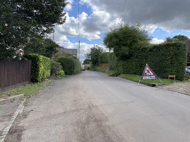
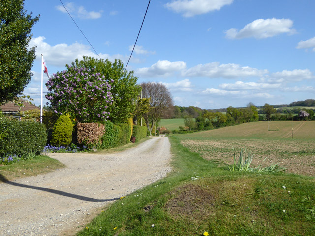
Cranbourne is a small village located in the county of Hampshire, England. Situated approximately 10 miles northeast of the city of Salisbury, Cranbourne is nestled within the beautiful Cranbourne Chase Area of Outstanding Natural Beauty.
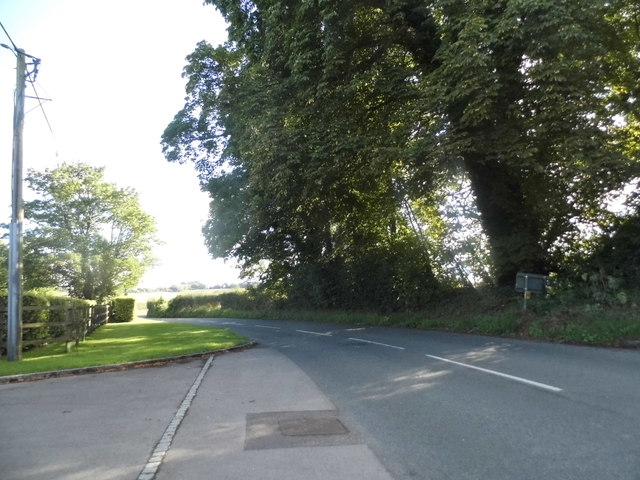
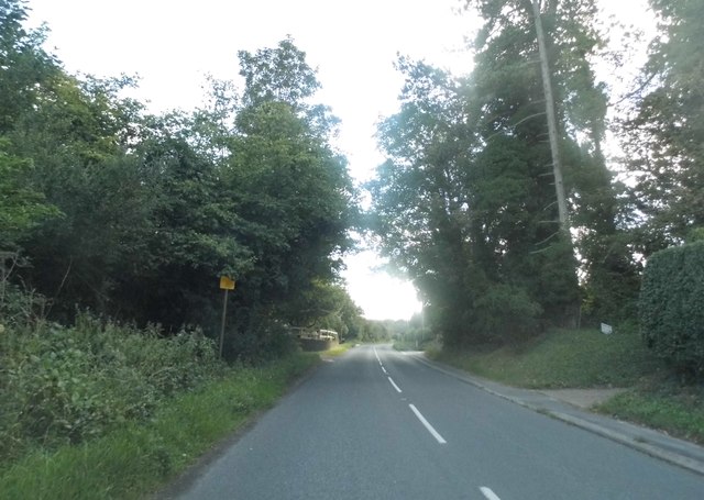
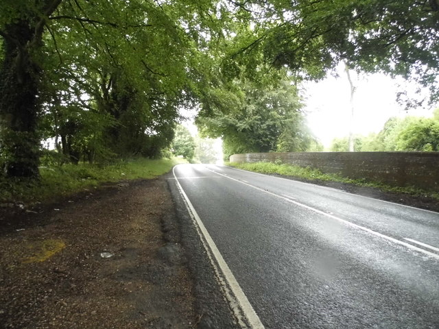
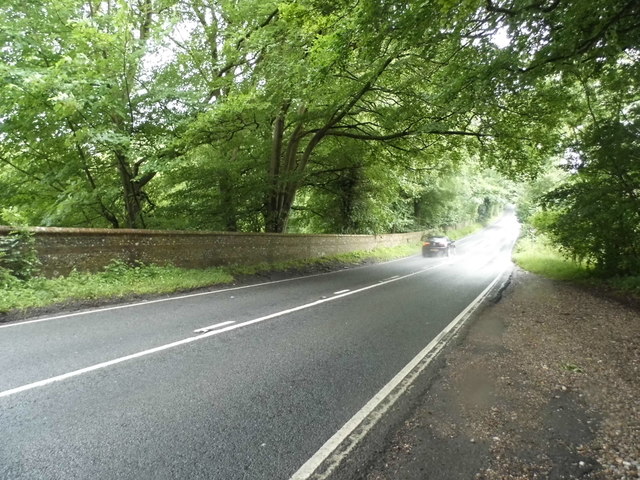
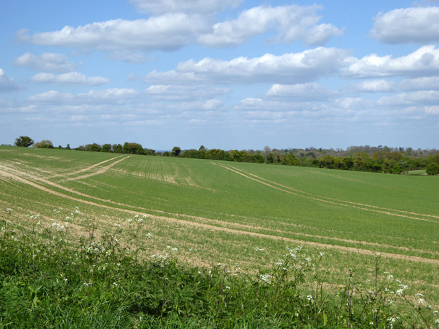
The village is known for its picturesque surroundings, with rolling hills, lush green fields, and charming countryside views. It is surrounded by a network of footpaths and bridleways, making it a popular destination for outdoor enthusiasts, hikers, and nature lovers.
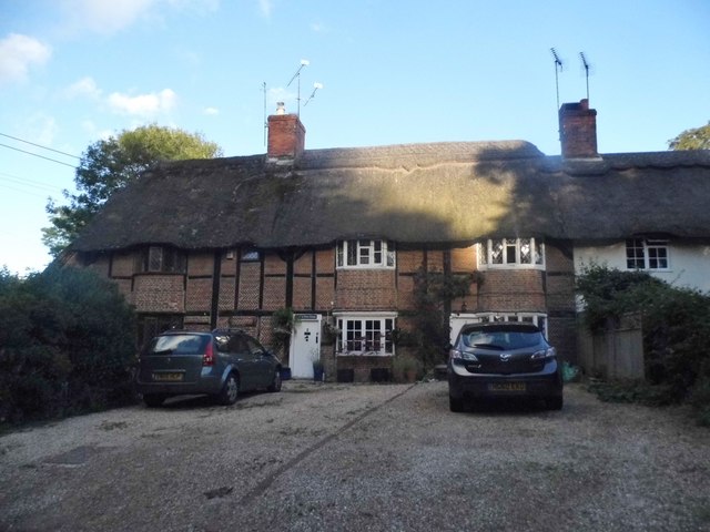
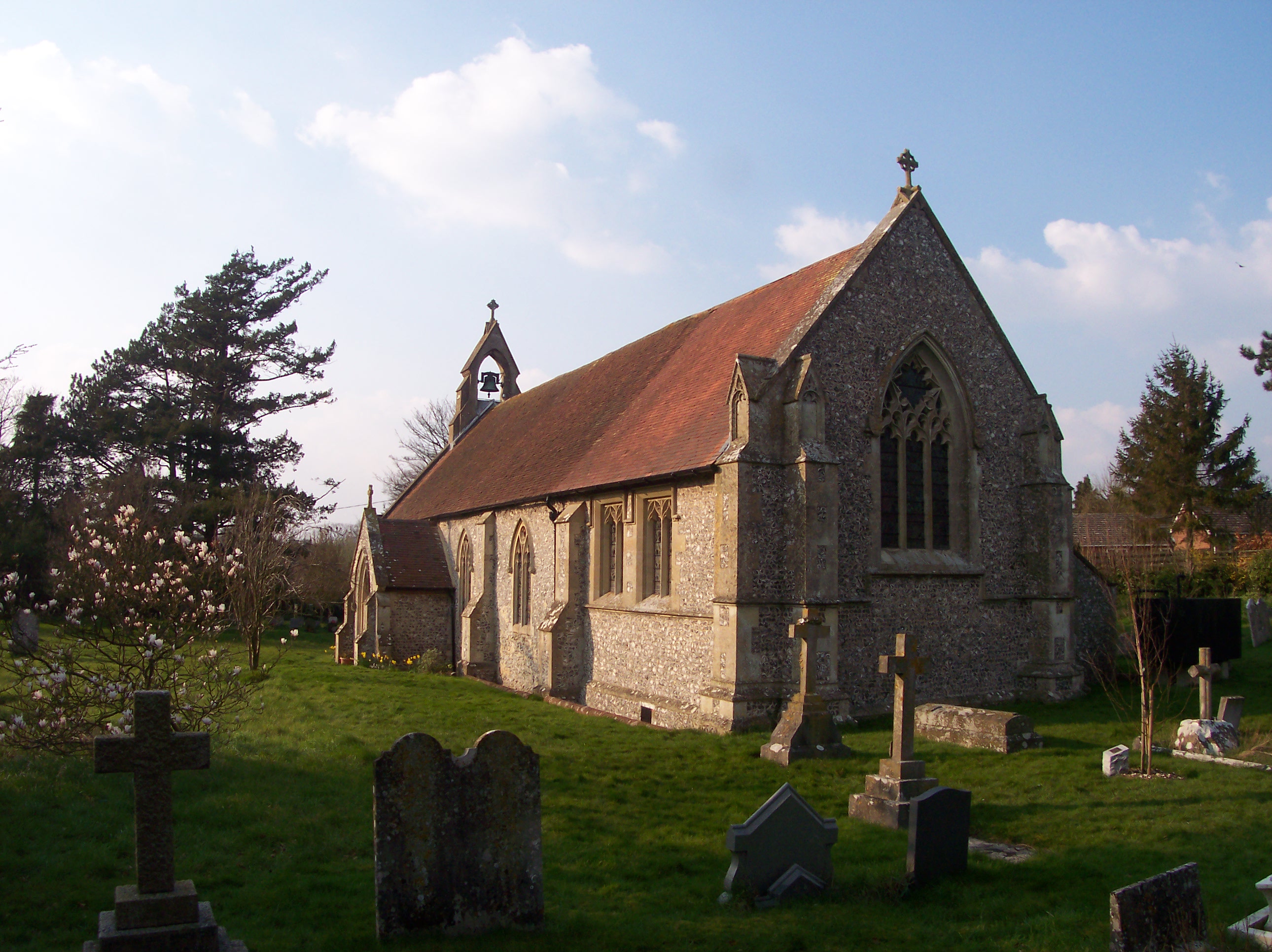
Cranbourne boasts a rich history, dating back to medieval times. The village is home to several historic buildings, including St. Peter and St. Paul Church, which dates back to the 12th century. The church's architecture reflects a mix of Gothic and Norman styles and is a prominent landmark in the area.
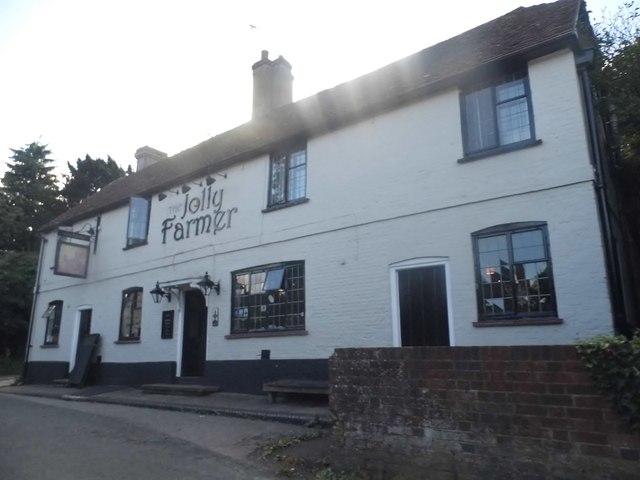
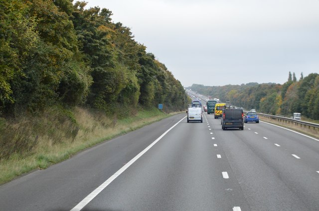
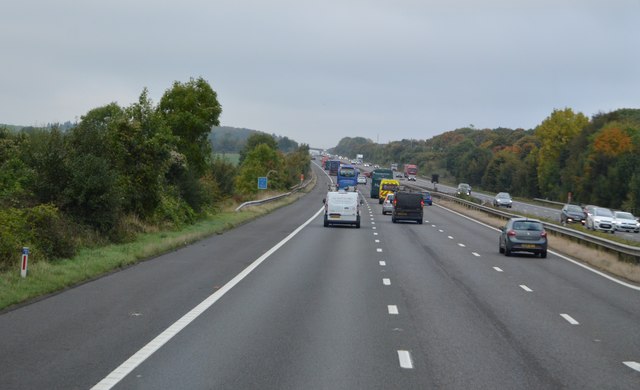
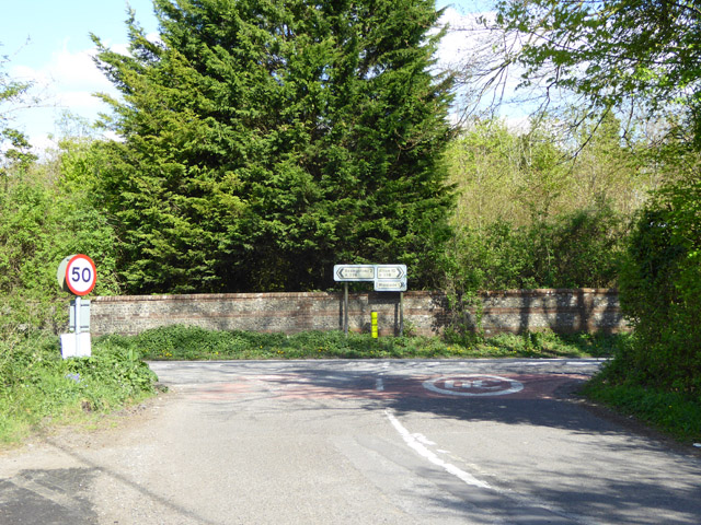
Despite its small size, Cranbourne offers a range of amenities and facilities for its residents and visitors. These include a village hall, a primary school, a local pub, and a post office. The village is also well-connected to neighboring towns and cities, with good road links, including the nearby A354 and A338.
Cranbourne provides a peaceful and close-knit community atmosphere, with a strong sense of community spirit. The village hosts various events and activities throughout the year, including a summer fete, Christmas markets, and local sports tournaments.
In summary, Cranbourne is a charming and historic village in the heart of the Hampshire countryside, offering a tranquil setting, stunning natural landscapes, and a close community spirit.
If you have any feedback on the listing, please let us know in the comments section below.
Cranbourne Images
Images are sourced within 2km of 51.245704/-1.0988011 or Grid Reference SU6350. Thanks to Geograph Open Source API. All images are credited.


Cranbourne is located at Grid Ref: SU6350 (Lat: 51.245704, Lng: -1.0988011)
Administrative County: Hampshire
District: Basingstoke and Deane
Police Authority: Hampshire
What 3 Words
///paying.vouch.good. Near Basingstoke, Hampshire
Nearby Locations
Related Wikis

Viables
Viables is a district of Basingstoke, England, that was formed around 1970 as part of the Basingstoke Town Centre Development Plan. The area is mostly...
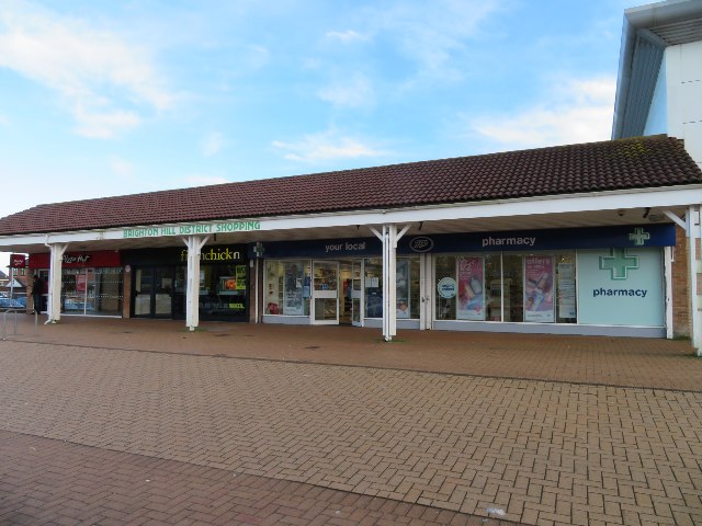
Brighton Hill
Brighton Hill is a district of Basingstoke, England, that was formed around 1970 as part of the Town Centre Development Plan. The area is bounded to the...
Cliddesden
Cliddesden is a village and a parish in Hampshire, England located 3 miles south of Basingstoke, close to the M3 motorway. In the 2001 census it had a...
Cranbourne School
Cranbourne is a co-educational secondary school in Basingstoke, northern Hampshire, England. The school serves Key Stage 3 and Key Stage 4 students between...
Brighton Hill Community School
Brighton Hill Community School (known locally as BHCS) is a coeducational secondary school located in Brighton Hill, Basingstoke in the county of Hampshire...
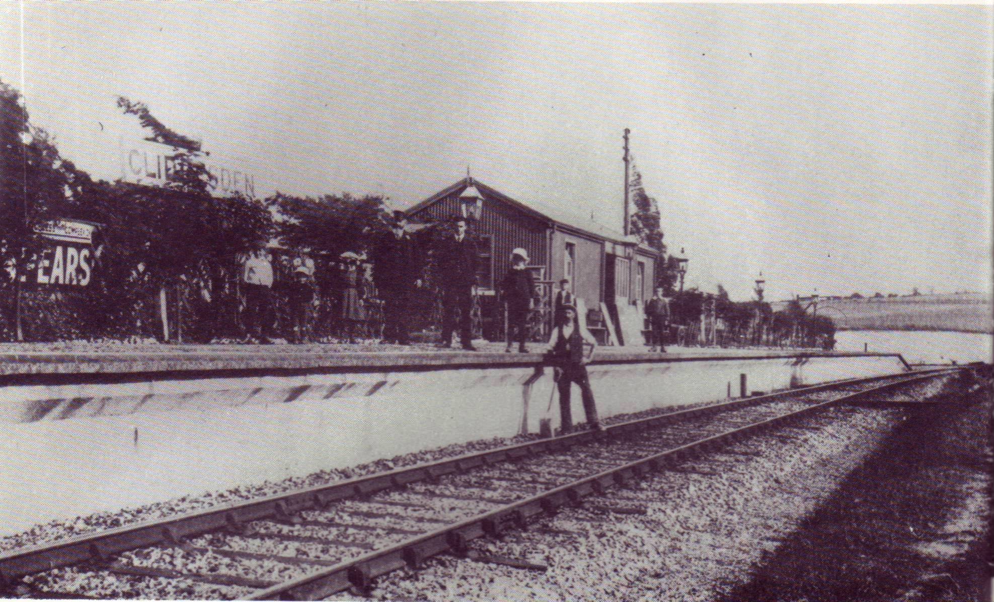
Cliddesden railway station
Cliddesden railway station was a railway station in the village of Cliddesden, Hampshire, UK. The station was a stop on the Basingstoke and Alton Light...

Queen Mary's College, Basingstoke
Queen Mary's College (QMC) is a sixth form college in Basingstoke, Hampshire, England. The college's name is from the former grammar school Queen Mary...

Basingstoke and Deane
Basingstoke and Deane is a local government district with borough status in Hampshire, England. The main town is Basingstoke, where the council is based...
Nearby Amenities
Located within 500m of 51.245704,-1.0988011Have you been to Cranbourne?
Leave your review of Cranbourne below (or comments, questions and feedback).