Verrington
Settlement in Somerset South Somerset
England
Verrington
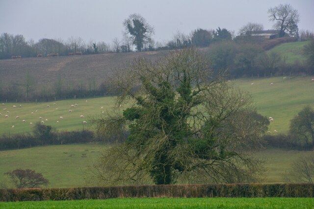
Verrington is a small village located in the county of Somerset, England. It is situated approximately 10 miles south of the city of Bath and 15 miles west of Bristol. The village is nestled in the beautiful countryside, surrounded by rolling hills and picturesque landscapes.
The origins of Verrington can be traced back to the medieval period, with some evidence suggesting that it was first settled in the 12th century. The village has a rich history and is known for its traditional stone buildings, which give it a charming and timeless character.
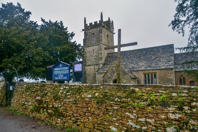
Despite its small size, Verrington has a tight-knit community that takes pride in preserving its rural heritage. The village is home to a local church, St. Peter's, which dates back to the 13th century and serves as a focal point for religious and social gatherings.
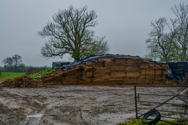
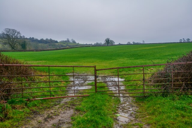
The village offers a peaceful and tranquil atmosphere, making it an ideal place for those seeking a rural retreat. The surrounding countryside provides ample opportunities for outdoor activities such as hiking, cycling, and horse riding. Additionally, Verrington benefits from its proximity to larger towns and cities, allowing residents to enjoy the amenities and services they offer while still enjoying the quiet countryside lifestyle.
Verrington may be small, but it offers a sense of community and a connection to the natural beauty of Somerset that is hard to find elsewhere. With its historic charm and stunning surroundings, Verrington is a hidden gem in the heart of the English countryside.
If you have any feedback on the listing, please let us know in the comments section below.
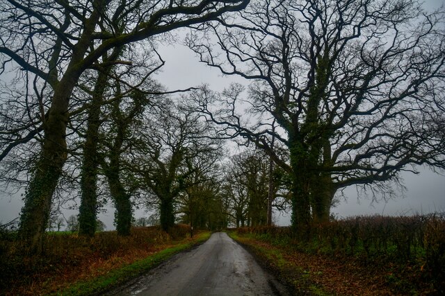
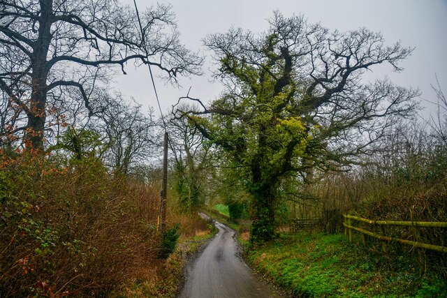
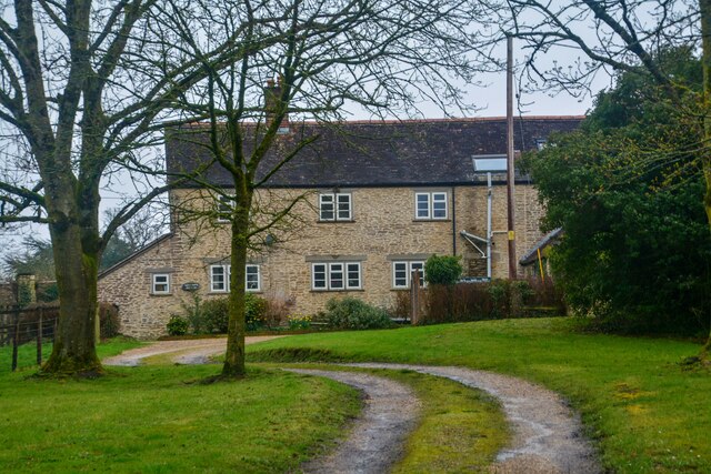
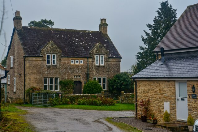
Verrington Images
Images are sourced within 2km of 51.060328/-2.4178831 or Grid Reference ST7029. Thanks to Geograph Open Source API. All images are credited.


Verrington is located at Grid Ref: ST7029 (Lat: 51.060328, Lng: -2.4178831)
Administrative County: Somerset
District: South Somerset
Police Authority: Avon and Somerset
What 3 Words
///should.removed.nerd. Near Wincanton, Somerset
Nearby Locations
Related Wikis
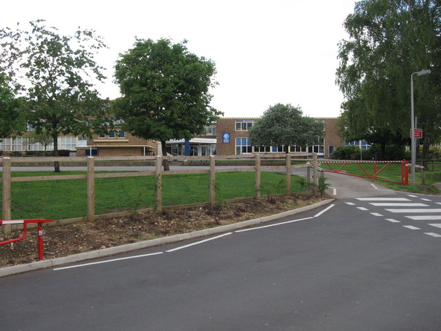
King Arthur's School
King Arthur's School is a smaller than average secondary school in Wincanton, Somerset, England. It had 350 students between the ages of 11 and 16 in...
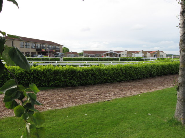
Wincanton Racecourse
Wincanton Racecourse is a thoroughbred horse racing venue located in Wincanton, Somerset, England. The steeplechase fences are large, making it a good...

Church of St Peter and St Paul, Wincanton
The Anglican Church of St Peter and St Paul in Wincanton within the English county of Somerset is a Grade II* listed building. The Church of St Peter and...
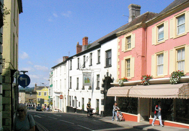
Wincanton
Wincanton ( or ) is a town and electoral ward in South Somerset, southwest England. The town lies off the A303 road, a main route between London and South...
Nearby Amenities
Located within 500m of 51.060328,-2.4178831Have you been to Verrington?
Leave your review of Verrington below (or comments, questions and feedback).