Uskmouth
Settlement in Monmouthshire
Wales
Uskmouth

Uskmouth is a small village located in Monmouthshire, Wales. Situated on the banks of the River Usk, it is approximately 2 miles southeast of the city of Newport. The village falls within the Newport City Council area.
The area has a rich history, with evidence of human activity dating back to the Roman era. Uskmouth was an important port during the medieval period, serving as a hub for trading goods along the River Usk. The village was also a center for shipbuilding and had a thriving coal industry in the 19th and early 20th centuries.
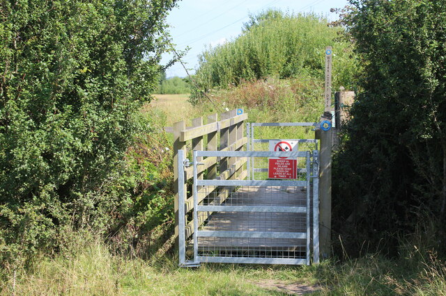
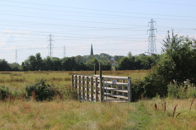
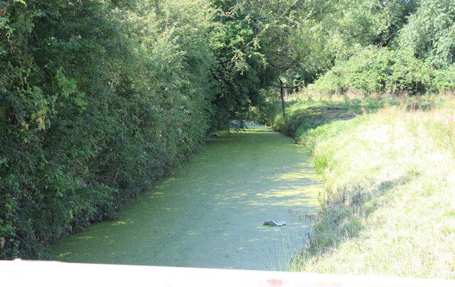
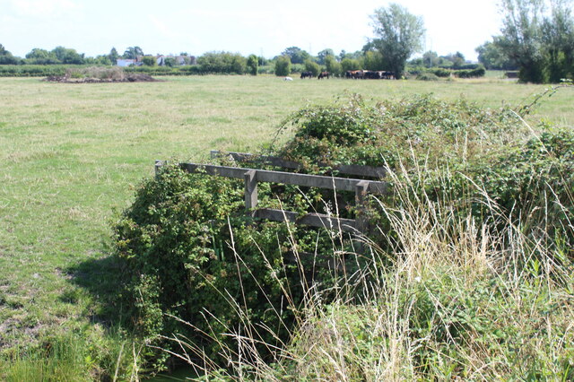
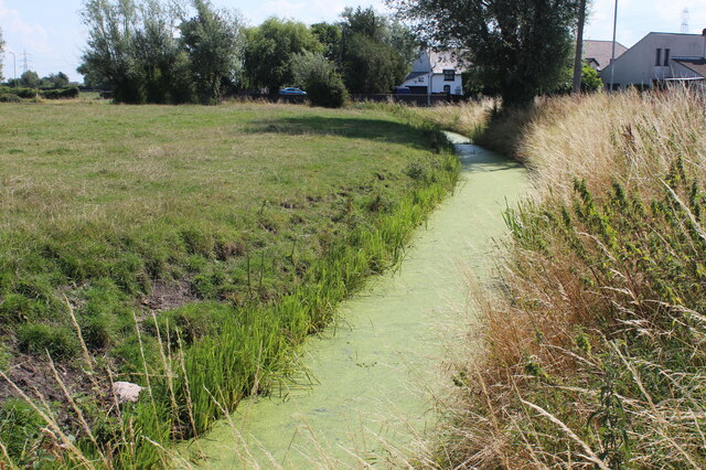
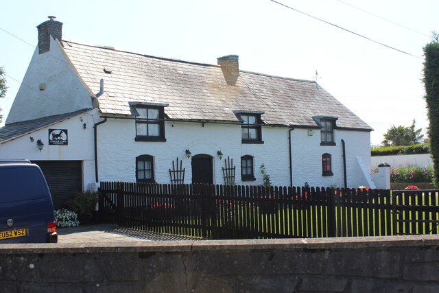
Today, Uskmouth is primarily a residential area with a close-knit community. The village offers a tranquil and picturesque setting, surrounded by beautiful countryside and the scenic river. The area is popular with nature enthusiasts, as it provides ample opportunities for walking, bird watching, and fishing.
One of the notable landmarks in Uskmouth is the Uskmouth Power Station, a coal-fired power plant that was decommissioned in 2020. Plans are currently underway to convert the site into a sustainable energy park, which will include a biomass power plant and potentially other renewable energy sources.
Uskmouth benefits from its proximity to Newport, which offers a range of amenities, including shopping centers, restaurants, and cultural attractions. The village is well-connected, with good transport links to nearby towns and cities, making it an attractive place to live for those seeking a balance between rural and urban living.
If you have any feedback on the listing, please let us know in the comments section below.
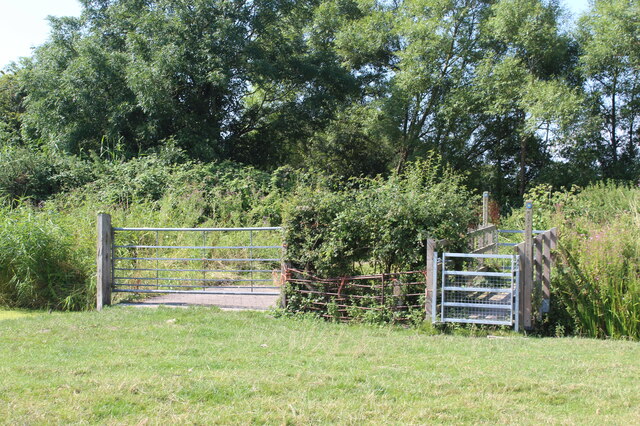
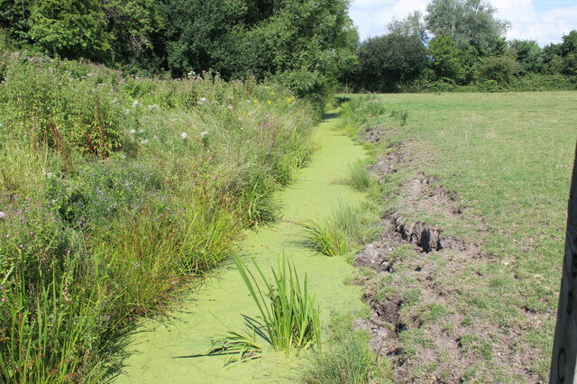
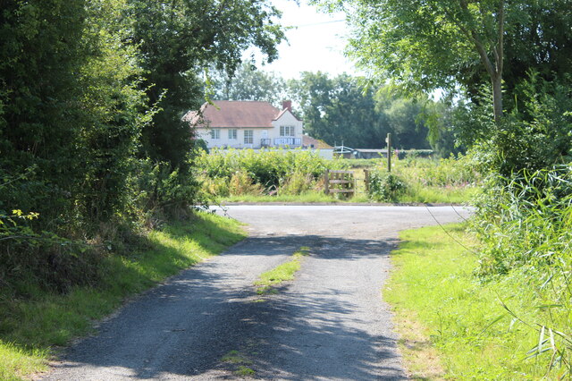
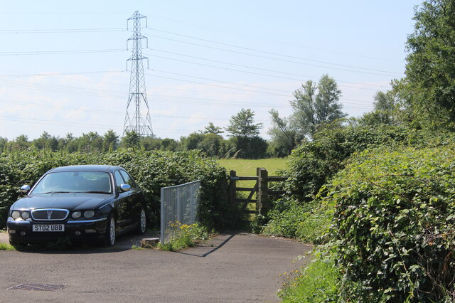
Uskmouth Images
Images are sourced within 2km of 51.546506/-2.9610529 or Grid Reference ST3383. Thanks to Geograph Open Source API. All images are credited.


Uskmouth is located at Grid Ref: ST3383 (Lat: 51.546506, Lng: -2.9610529)
Unitary Authority: Newport
Police Authority: Gwent
What 3 Words
///angel.sweep.clip. Near Nash, Newport
Related Wikis
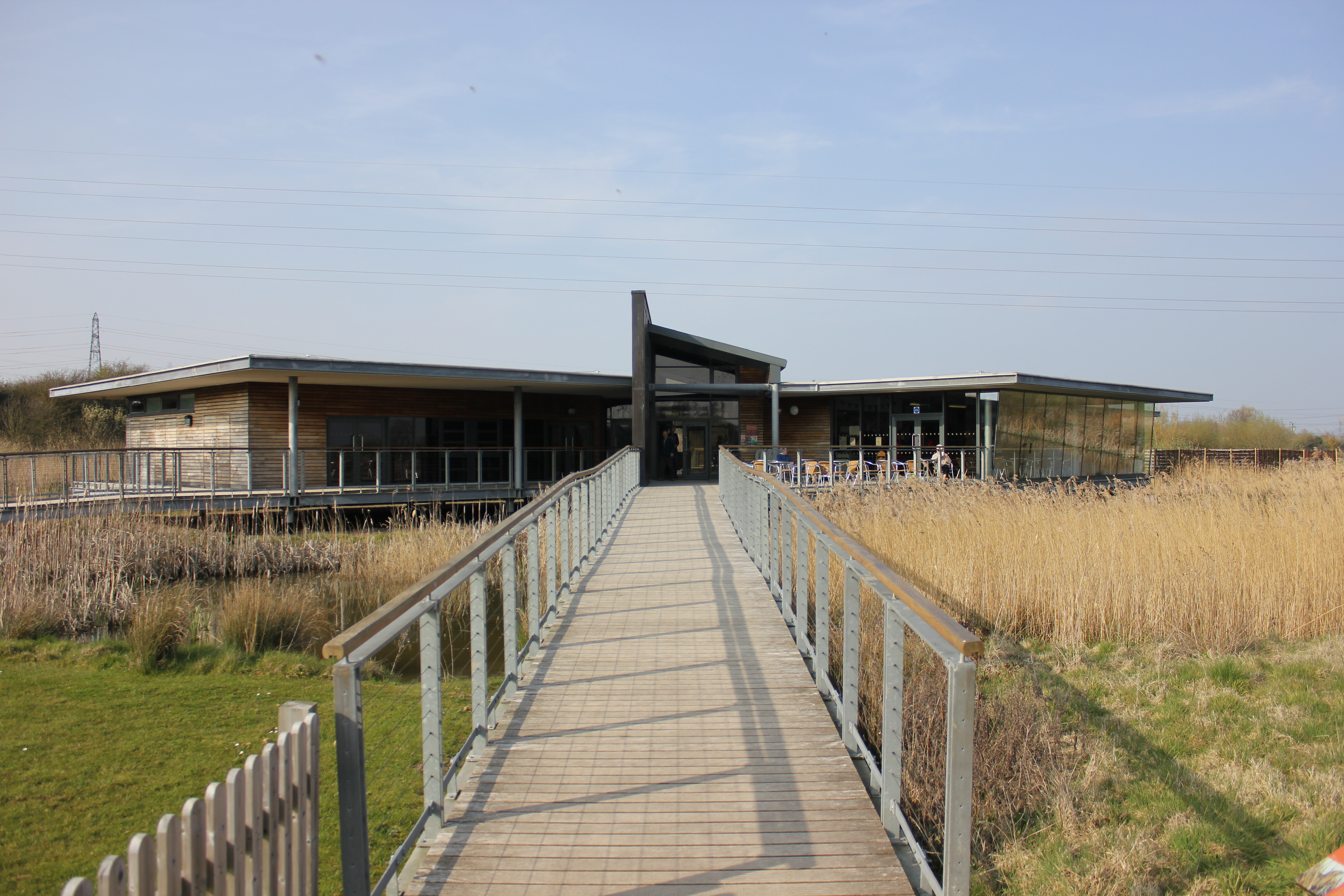
Newport Wetlands
Newport Wetlands is a wildlife reserve covering parts of Uskmouth, Nash and Goldcliff, in the south-east of the city of Newport, South Wales. == History... ==

Uskmouth
Uskmouth (Welsh: Aberwysg) is an area to the south of the city of Newport, South Wales. == Location == Uskmouth is effectively in the west of the village...

Uskmouth power stations
The Uskmouth power stations (also known as the Fifoots Point power stations) refers to a series of two coal-fired power stations at the mouth of the River...

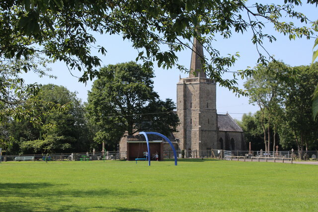
St Mary's Church, Nash
The Church of St Mary the Virgin, Nash is the parish church of the village of Nash, situated about 3 kilometres (1.9 mi) south of the city of Newport,...
Nash, Newport
Nash (Welsh: Trefonnen) is a village and community to the south of the city of Newport, South Wales, in the Lliswerry ward. == Origin of the name == The...
Ebbw River
The Ebbw River (; Welsh: Afon Ebwy) is a river in South Wales which gives its name to the town of Ebbw Vale. The Ebbw River is joined by the Ebbw Fach...
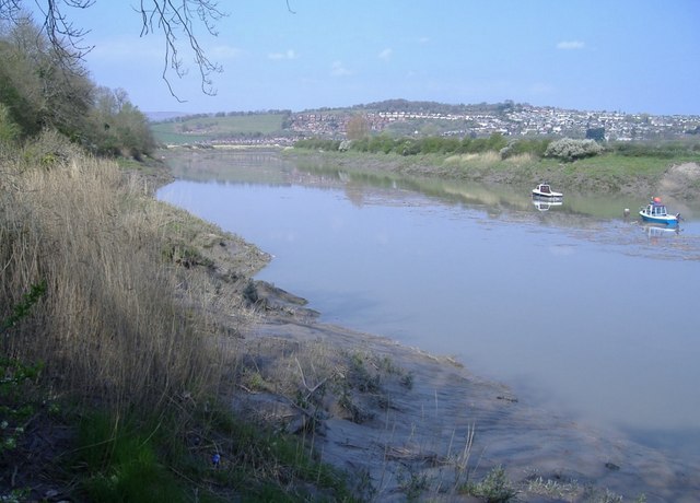
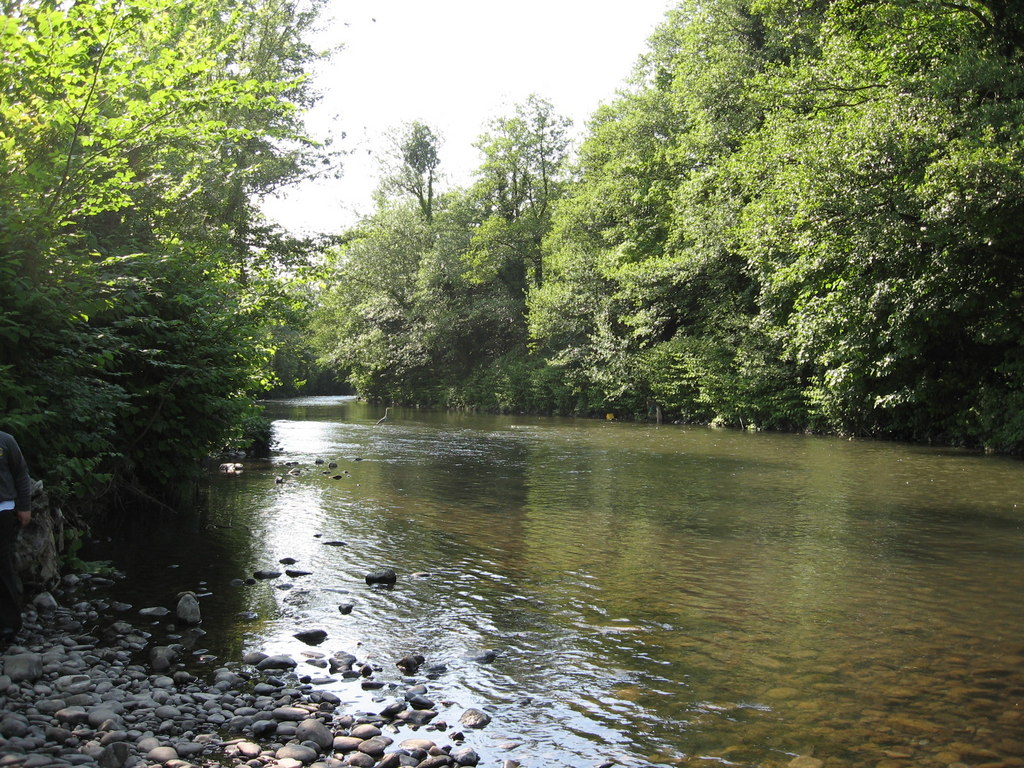
River Usk
The River Usk (; Welsh: Afon Wysg) rises on the northern slopes of the Black Mountain (y Mynydd Du), Wales, in the westernmost part of the Brecon Beacons...
Newport Docks
Newport Docks is the collective name for a group of docks in the city of Newport, south-east Wales. By the eighteenth century there were a number of wharves...
Nearby Amenities
Located within 500m of 51.546506,-2.9610529Have you been to Uskmouth?
Leave your review of Uskmouth below (or comments, questions and feedback).