Ussie

Settlement in Ross-shire

Scotland

Ussie

Woodland Walk We were geocaching here and it is a lovely walk.  We were bitten by midges though.  Further north the midge won't be around for a couple more weeks yet.
Woodland Walk Credit: Dorcas Sinclair

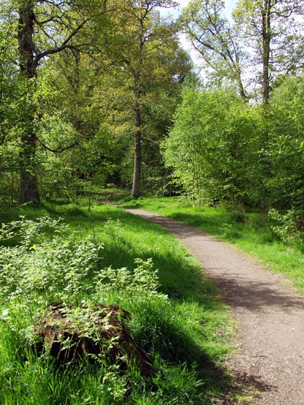
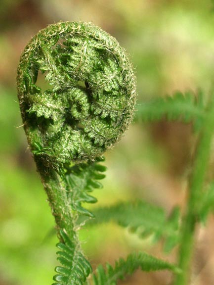
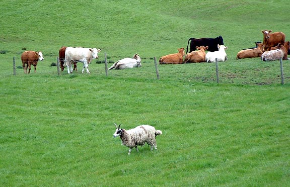
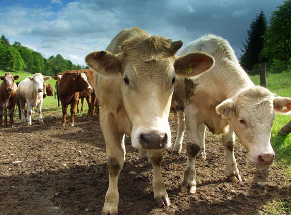
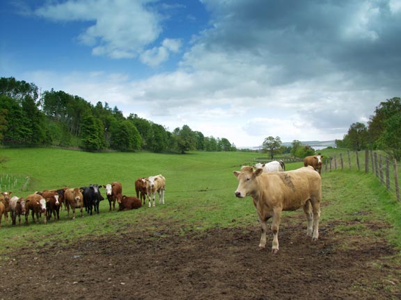
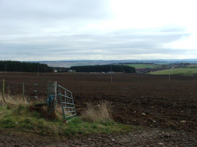
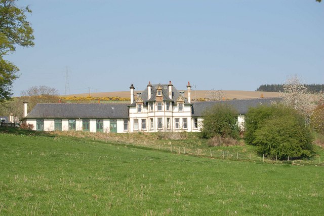
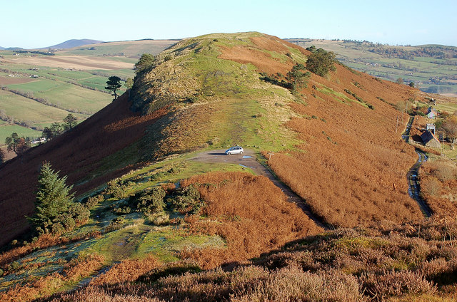
Ussie is a small village located in the county of Ross-shire, in the Highlands region of Scotland. It is situated about 5 miles northeast of the town of Alness and approximately 25 miles north of the city of Inverness. Ussie is nestled amidst picturesque countryside and offers stunning views of the surrounding hills and valleys.

The village is primarily residential, with a population of around 500 residents. It has a close-knit community atmosphere, with a strong sense of local pride and a friendly, welcoming atmosphere. Residents enjoy a peaceful, rural lifestyle, while still being within easy reach of larger towns and cities for amenities and services.

Ussie is well-connected to the wider region by road, with the A9 running nearby, providing convenient access to Inverness and the rest of Scotland. The village also benefits from regular bus services, linking it to neighboring towns and villages.

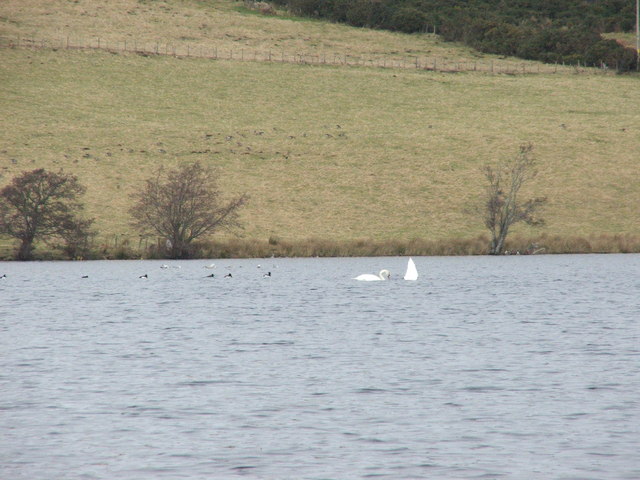
Although Ussie is a relatively small village, it offers a range of amenities for its residents and visitors. These include a community hall, a small convenience store, and a primary school. Outdoor enthusiasts can take advantage of the stunning natural surroundings, with opportunities for walking, cycling, and fishing in the nearby rivers and lochs.

Overall, Ussie is a charming village in the heart of the Scottish Highlands, offering a tranquil and idyllic setting for those seeking a peaceful rural lifestyle.

If you have any feedback on the listing, please let us know in the comments section below.
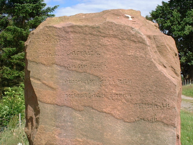
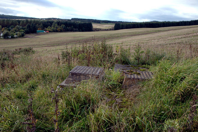
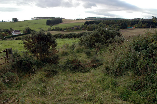
Ussie Images

Images are sourced within 2km of 57.579392/-4.4762812 or Grid Reference NH5257. Thanks to Geograph Open Source API. All images are credited.

Woodland Walk We were geocaching here and it is a lovely walk.  We were bitten by midges though.  Further north the midge won't be around for a couple more weeks yet.
Woodland Walk
We were geocaching here and it is a lovely walk. We were bitten by midges though. Further north the midge won't be around for a couple more weeks yet.
Uncurling fern I love seeing the ferns when they are uncurling - they remind me of ammonites.
Uncurling fern
I love seeing the ferns when they are uncurling - they remind me of ammonites.
Jacob Sheep This area had a lot of good, clean pasture.  Jacob sheep are not a common sight in this area.
Jacob Sheep
This area had a lot of good, clean pasture. Jacob sheep are not a common sight in this area.
Cows I went to take a photograph of the view and thought it would be nice to have some cows in the foreground.  I ended up taking photographs of cows!
Cows
I went to take a photograph of the view and thought it would be nice to have some cows in the foreground. I ended up taking photographs of cows!
Looking toward the Cromarty Firth After doing a geocache in the area we found some very inquisitive cows.
Looking toward the Cromarty Firth
After doing a geocache in the area we found some very inquisitive cows.
Ploughed field Arable farmland makes up most of this grid square.
Ploughed field
Arable farmland makes up most of this grid square.
Footpath public footpath to Dingwall (2 miles)
Footpath
public footpath to Dingwall (2 miles)
Swans feeding on Loch Ussie Legend has it that the Brahan Seer lived near Loch Ussie. Before being taken to Fortrose on the Black Isle to be tried for witchcraft, (and subsequently burnt alive), he threw his oracle stone into the loch and said it would one day be found in the belly of a fish. Whoever found this seeing-stone would gain his gift of the second sight.
Swans feeding on Loch Ussie
Legend has it that the Brahan Seer lived near Loch Ussie. Before being taken to Fortrose on the Black Isle to be tried for witchcraft, (and subsequently burnt alive), he threw his oracle stone into the loch and said it would one day be found in the belly of a fish. Whoever found this seeing-stone would gain his gift of the second sight.
Loch Ussie Loch Ussie is a haven rich in wildlife. Dominated by the historic hill fort of Knockfarrel, the loch is fringed by native woodland with typical highland land uses such as crofting, farming and forestry beyond.
Loch Ussie
Loch Ussie is a haven rich in wildlife. Dominated by the historic hill fort of Knockfarrel, the loch is fringed by native woodland with typical highland land uses such as crofting, farming and forestry beyond.
Stone Marker This marker is inscribed with the Gaelic words; Thig an latha... Caoraich, an sin feidh. Agus an deidh nan uisgeachan dubha  Tillidh an sluagh. 
Translated means; The day will come... first of sheep, then of deer. After the black rains.. People will return.
Stone Marker
This marker is inscribed with the Gaelic words; Thig an latha... Caoraich, an sin feidh. Agus an deidh nan uisgeachan dubha Tillidh an sluagh. Translated means; The day will come... first of sheep, then of deer. After the black rains.. People will return.
Seaforth House, Maryburgh Seaforth House overlooks the village of Maryburgh near Dingwall. It was built in 1907 by the Earl of Cromarty. It has been a sanatorium, an auxiliary hospital, a children’s home and a training centre.  It is now a charitable non-profit making nursing and respite care home.
Seaforth House, Maryburgh
Seaforth House overlooks the village of Maryburgh near Dingwall. It was built in 1907 by the Earl of Cromarty. It has been a sanatorium, an auxiliary hospital, a children’s home and a training centre. It is now a charitable non-profit making nursing and respite care home.
Standing stone at Knockbain I was going to transcribe the inscription but I notice somebody beat me to it, instead I shall upload supplemental pictures of the inscription for fellow Geographers to read.
Standing stone at Knockbain
I was going to transcribe the inscription but I notice somebody beat me to it, instead I shall upload supplemental pictures of the inscription for fellow Geographers to read.
Gaidhlig inscription on standing stone at Knockbain
English inscription on standing stone at Knockbain
Old reservoir Below Somerby Farm, Loch Ussie
Old reservoir
Below Somerby Farm, Loch Ussie
Overgrown farm track, near Bogbain Above Loch Ussie road
Overgrown farm track, near Bogbain
Above Loch Ussie road
Somerby, Loch Ussie, near Dingwall Across barley stubble
Somerby, Loch Ussie, near Dingwall
Across barley stubble
Road Junction Ussie, on Knockfarrel road
Road Junction
Ussie, on Knockfarrel road
Show me another place!

Ussie is located at Grid Ref: NH5257 (Lat: 57.579392, Lng: -4.4762812)

Unitary Authority: Highland

Police Authority: Highlands and Islands

What 3 Words

///triathlon.comply.formal. Near Conon Bridge, Highland

Nearby Locations

Ussie

Related Wikis

Knockfarrel

Knockfarrel (Scottish Gaelic: Cnoc Fearghalaigh) is a village, 1 mile east of Strathpeffer, in Dingwall in Ross-shire, Scottish Highlands and is in the...

Maryburgh

Maryburgh (Scottish Gaelic: Baile Màiri) is a village in the Highland council area of Scotland, 2 miles (3.2 km) south of Dingwall. It is situated on the...

Battle of Drumchatt (1497)

The Battle of Drumchatt was a Scottish clan battle that took place in 1497. The Clan Mackenzie and possibly the Clan Munro defeated the Clan MacDonald...

Fodderty

Fodderty (Scottish Gaelic: Fodhraitidh) is a small hamlet, close to Dingwall, Ross-shire in the Scottish Highlands and is in the Scottish council area...

Nearby Amenities

Located within 500m of 57.579392,-4.4762812
Power: pole
Lat/Long: 57.5766505/-4.4698396
Power: pole
Lat/Long: 57.5764819/-4.4711038
Power: pole
Lat/Long: 57.5762773/-4.4725688
Power: pole
Lat/Long: 57.5761294/-4.4736382
Power: pole
Lat/Long: 57.5765026/-4.4744256
Power: pole
Lat/Long: 57.5766777/-4.4754828
Power: pole
Lat/Long: 57.5768355/-4.4765014
Power: pole
Lat/Long: 57.5773338/-4.4773679
Power: pole
Lat/Long: 57.5777799/-4.4781532
Power: pole
Lat/Long: 57.5782694/-4.4789811
Power: pole
Lat/Long: 57.5787286/-4.4794661
Power: pole
Lat/Long: 57.5791561/-4.4799186
Power: pole
Lat/Long: 57.5795891/-4.4803772
Power: pole
Lat/Long: 57.580009/-4.4808155
Power: pole
Lat/Long: 57.5805965/-4.4811037
Power: pole
Lat/Long: 57.5812166/-4.4814223
Power: pole
Lat/Long: 57.5817126/-4.4816658
Power: pole
Lat/Long: 57.5822848/-4.4819499
Power: pole
Lat/Long: 57.5834271/-4.4753509
Power: pole
Lat/Long: 57.5832334/-4.4770027
Power: pole
Lat/Long: 57.5831507/-4.4781207
Power: pole
Lat/Long: 57.5830964/-4.4789304
Power: pole
Lat/Long: 57.5830463/-4.4797116
Power: pole
Lat/Long: 57.5829658/-4.4809819
Power: pole
Lat/Long: 57.575093/-4.4742125
Power: pole
Lat/Long: 57.5758808/-4.4748558
The data included in this document is from www.openstreetmap.org. The data is made available under ODbL.

Have you been to Ussie?

Leave your review of Ussie below (or comments, questions and feedback).