Ash Pond
Lake, Pool, Pond, Freshwater Marsh in Monmouthshire
Wales
Ash Pond
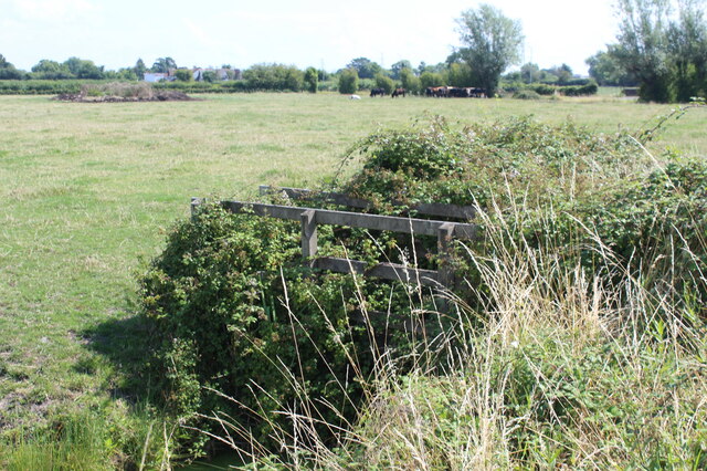
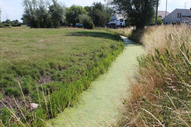
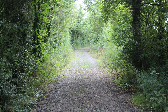
Ash Pond is a picturesque freshwater marsh located in Monmouthshire, Wales. This stunning body of water, often referred to as a lake, pool, or pond, spans approximately 2 acres and is nestled within a tranquil natural setting. It is situated near the village of Ash, which lends its name to the pond.
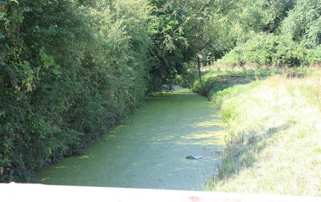
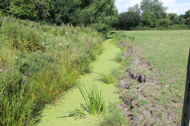
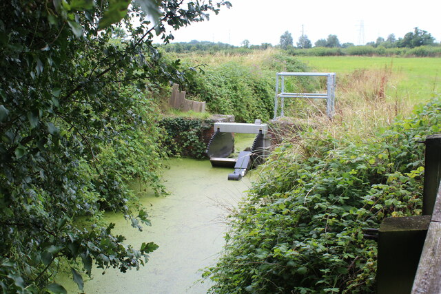
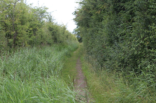
The pond is fed by several small streams and springs, ensuring a constant flow of fresh water and maintaining its clarity. Surrounded by lush green vegetation and tall reeds, the pond serves as a haven for a diverse range of flora and fauna. Various species of water plants, such as water lilies and reed mace, can be observed thriving in and around the pond.
Due to its rich biodiversity, Ash Pond attracts a wide array of bird species, making it a popular spot for birdwatching enthusiasts. Common sightings include herons, ducks, swans, and various songbirds. The tranquil environment also provides a habitat for various amphibians and insects, adding to the ecological significance of the pond.
The surrounding area offers several walking trails, providing visitors with the opportunity to explore the pond and its natural surroundings. The calm and serene atmosphere makes Ash Pond a perfect place for relaxation and contemplation, as well as a wonderful destination for nature lovers and photographers.
Overall, Ash Pond in Monmouthshire is a captivating freshwater marsh that offers a peaceful retreat from the hustle and bustle of daily life. Its natural beauty and abundant wildlife make it a must-visit destination for anyone seeking a serene and picturesque experience in the heart of nature.
If you have any feedback on the listing, please let us know in the comments section below.
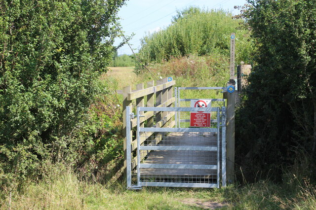
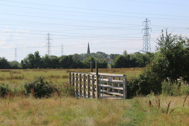
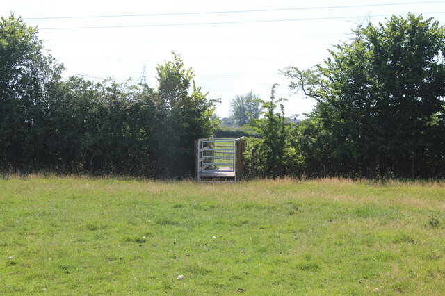
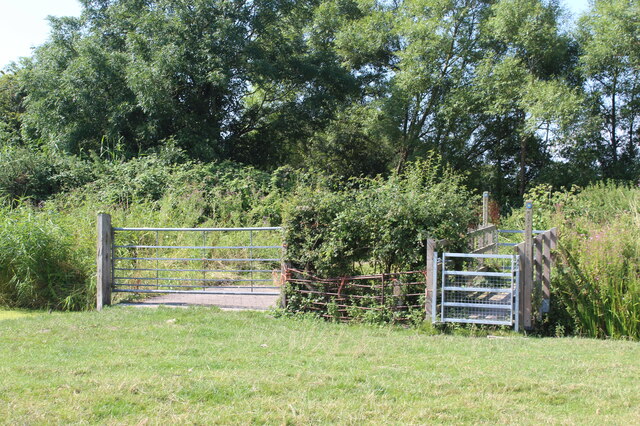
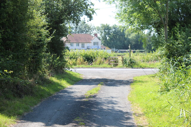
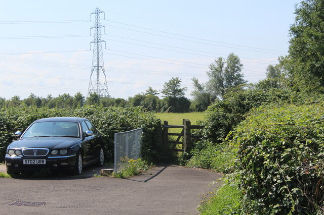
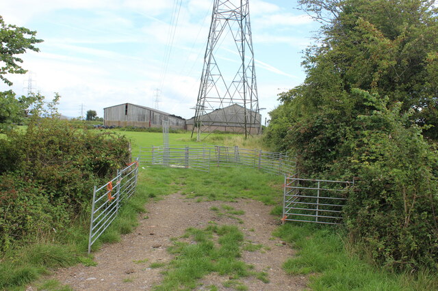
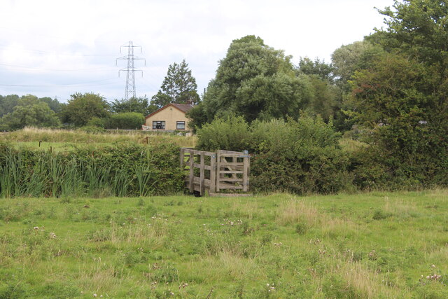
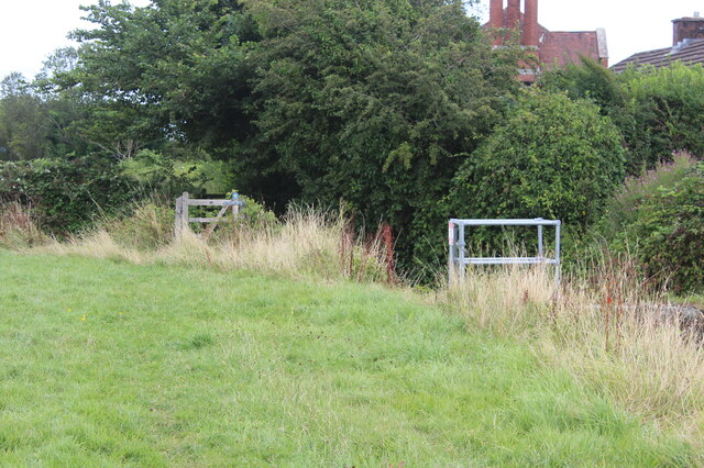
Ash Pond Images
Images are sourced within 2km of 51.545125/-2.9627399 or Grid Reference ST3383. Thanks to Geograph Open Source API. All images are credited.
Ash Pond is located at Grid Ref: ST3383 (Lat: 51.545125, Lng: -2.9627399)
Unitary Authority: Newport
Police Authority: Gwent
What 3 Words
///congratulations.eggs.bound. Near Nash, Newport
Related Wikis
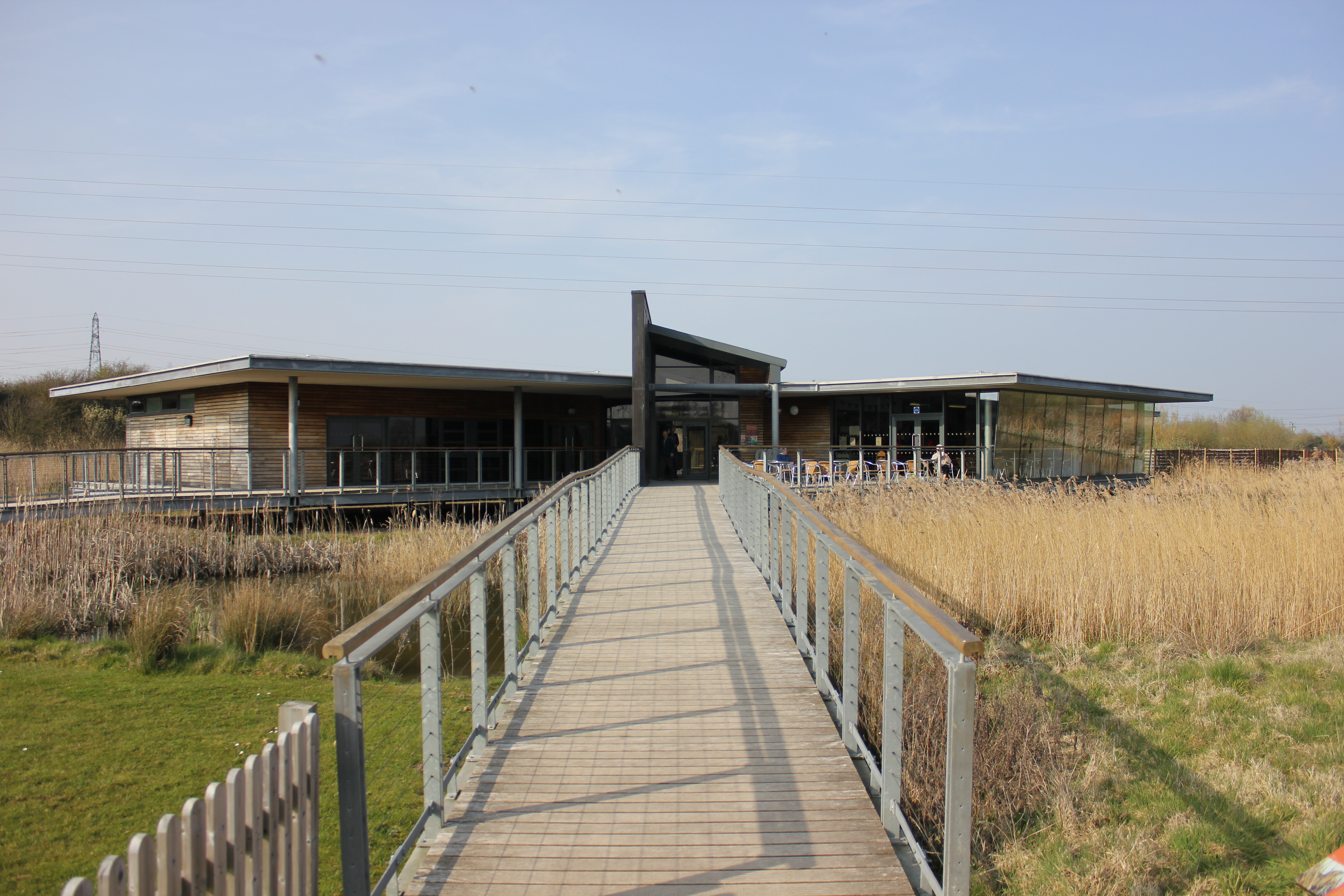
Newport Wetlands
Newport Wetlands is a wildlife reserve covering parts of Uskmouth, Nash and Goldcliff, in the south-east of the city of Newport, South Wales. == History... ==

Uskmouth
Uskmouth (Welsh: Aberwysg) is an area to the south of the city of Newport, South Wales. == Location == Uskmouth is effectively in the west of the village...

Uskmouth power stations
The Uskmouth power stations (also known as the Fifoots Point power stations) refers to a series of two coal-fired power stations at the mouth of the River...

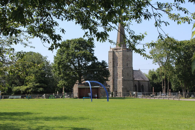
St Mary's Church, Nash
The Church of St Mary the Virgin, Nash is the parish church of the village of Nash, situated about 3 kilometres (1.9 mi) south of the city of Newport,...
Nearby Amenities
Located within 500m of 51.545125,-2.9627399Have you been to Ash Pond?
Leave your review of Ash Pond below (or comments, questions and feedback).