Upper Huntlywood

Settlement in Berwickshire

Scotland

Upper Huntlywood

New woodland, Nether Huntlywood An area of young trees on former farmland.
New woodland, Nether Huntlywood Credit: Richard Webb

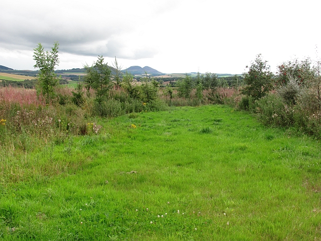
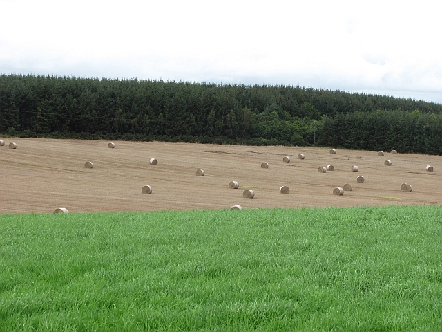
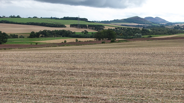
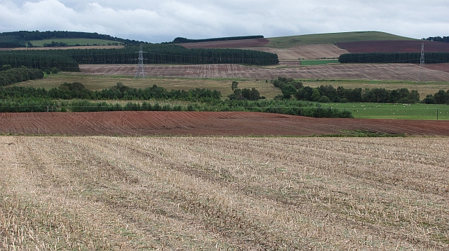
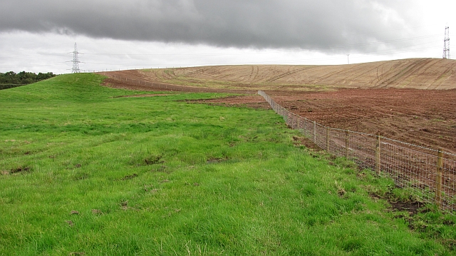
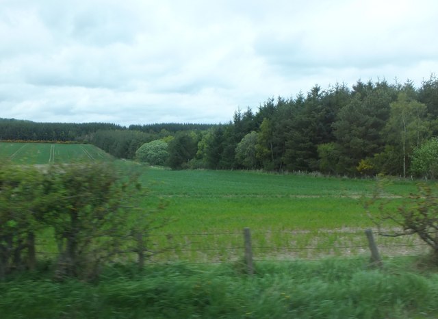
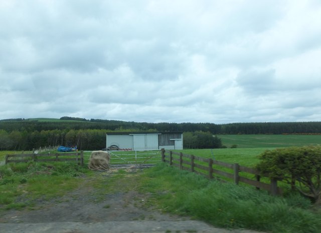
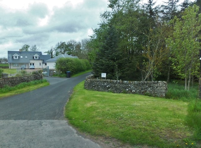
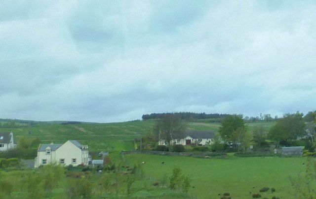
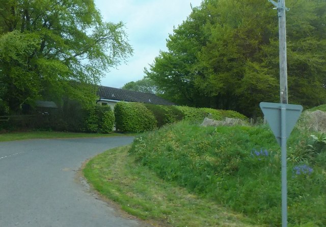
Upper Huntlywood is a small rural hamlet located in the Scottish Borders region of Berwickshire. Situated approximately 4 miles north of the town of Duns, it lies in a picturesque countryside setting, surrounded by rolling hills and farmland.

The hamlet consists of a cluster of traditional stone-built houses, some of which date back to the 18th century. These properties blend harmoniously with the natural landscape, creating a charming and tranquil atmosphere. The area is known for its idyllic views and peaceful surroundings, making it an attractive destination for those seeking a retreat from the hustle and bustle of city life.

Upper Huntlywood benefits from its proximity to the historic town of Duns, which offers a range of amenities including shops, schools, and leisure facilities. The town also hosts various annual events and festivals, providing opportunities for cultural and social engagement.

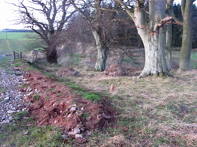
The surrounding area provides ample opportunities for outdoor activities such as hiking, cycling, and horse riding, with several nature trails and paths passing through the nearby woodlands and countryside. The nearby River Tweed is renowned for its salmon fishing, attracting enthusiasts from across the country.

Overall, Upper Huntlywood offers a peaceful and scenic retreat in the heart of the Scottish Borders, with its combination of stunning landscapes, historical charm, and easy access to nearby amenities making it an appealing place to live or visit.

If you have any feedback on the listing, please let us know in the comments section below.

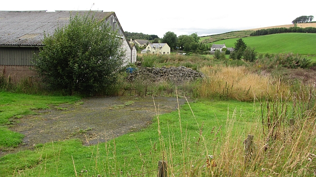
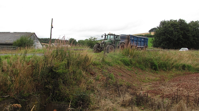
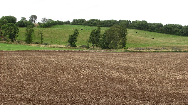
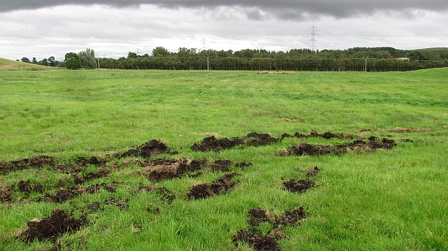
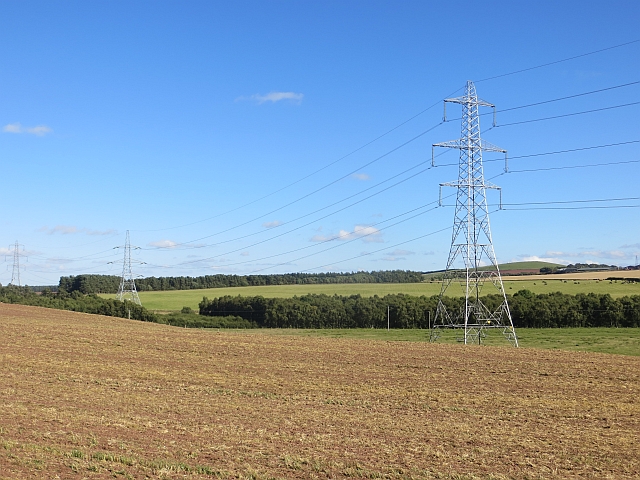
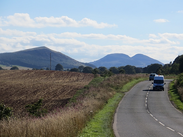
Upper Huntlywood Images

Images are sourced within 2km of 55.680455/-2.6095356 or Grid Reference NT6143. Thanks to Geograph Open Source API. All images are credited.

New woodland, Nether Huntlywood An area of young trees on former farmland.
New woodland, Nether Huntlywood
An area of young trees on former farmland.
Bales near Huntlywood Newly baled straw.
Bales near Huntlywood
Newly baled straw.
Nether Huntlywood Oilseed rape stubble with a view through to Black Hill and the distant Eildon Hills.
Nether Huntlywood
Oilseed rape stubble with a view through to Black Hill and the distant Eildon Hills.
Oilseed rape stubble, Nether Huntlywood View over wetland towards Fans Hill.
Oilseed rape stubble, Nether Huntlywood
View over wetland towards Fans Hill.
An old road alignment Tar showing through the moss at the edge of a farmyard. This would have been the route of the A6105 at one time, a bend has been straightened out with an embankment.
An old road alignment
Tar showing through the moss at the edge of a farmyard. This would have been the route of the A6105 at one time, a bend has been straightened out with an embankment.
Embankment,  A6105 The road has been straightened here. The tractor is hauling newly harvested grain.
Embankment, A6105
The road has been straightened here. The tractor is hauling newly harvested grain.
Cultivated field A flat field in former mossland.
Cultivated field
A flat field in former mossland.
Peaty soil, Gordon Moss Beyond this damp field with exposed black soil is an area of woodland on Gordon Moss.
Peaty soil, Gordon Moss
Beyond this damp field with exposed black soil is an area of woodland on Gordon Moss.
New fence Newly worked ground on hilly ground above Gordon Moss.
New fence
Newly worked ground on hilly ground above Gordon Moss.
Earthbank, Greenknowe A built up mound of red earth in a woodland near Greenhowe Tower.
Earthbank, Greenknowe
A built up mound of red earth in a woodland near Greenhowe Tower.
Arable land near Huntlywood
Barn east of Huntlywood The hill in the left background is Knock Hill, which is one of those doubly-named places, 'cnoc' being Scots Gaelic for 'hill'. (Torpenhow in the Lake District <a href="https://www.geograph.org.uk/gridref/NY2039">NY2039</a> is possibly a triply-named place - Hill (Old English) + hill (Welsh) + hill (Danish)!)
Barn east of Huntlywood
The hill in the left background is Knock Hill, which is one of those doubly-named places, 'cnoc' being Scots Gaelic for 'hill'. (Torpenhow in the Lake District NY2039 is possibly a triply-named place - Hill (Old English) + hill (Welsh) + hill (Danish)!)
Private road "No access without permission" (intriguing ... can't help feeling a bit like Father Ted's Dougal standing by the "Do not press red button" sign!).
Private road
"No access without permission" (intriguing ... can't help feeling a bit like Father Ted's Dougal standing by the "Do not press red button" sign!).
Scattered housing by East Morriston
Road into East Morriston
Pasture lands at Corsbie 17th. century Corsbie Tower, built by the Cranstouns of Oxenfoord (north of Pathhead in Midlothian) can be seen in the background.
Pasture lands at Corsbie
17th. century Corsbie Tower, built by the Cranstouns of Oxenfoord (north of Pathhead in Midlothian) can be seen in the background.
Arable land, Morriston Direct drilled cereal field. Beyond the arable land is a wetland area.
Arable land, Morriston
Direct drilled cereal field. Beyond the arable land is a wetland area.
A6105 Heading westward, towards Black Hill and the Eildons.
A6105
Heading westward, towards Black Hill and the Eildons.
Show me another place!

Upper Huntlywood is located at Grid Ref: NT6143 (Lat: 55.680455, Lng: -2.6095356)

Unitary Authority: The Scottish Borders

Police Authority: The Lothians and Scottish Borders

What 3 Words

///lasts.airbase.carry. Near Earlston, Scottish Borders

Related Wikis

Corsbie Castle

Corsbie Castle is a ruined 16th-century tower house, about 2.5 miles (4.0 km) west of Gordon, Scottish Borders, Scotland, and north of the Eden Water....

Gordon Moss

Gordon Moss is a nature reserve near Gordon, in the Scottish Borders area of Scotland, in the former Berwickshire. The moss is situated one mile west of...

Greenknowe Tower

Greenknowe Tower is a 16th-century tower house, located just west of the village of Gordon, in the Scottish Borders. Although a roofless ruin, the stonework...

Legerwood Kirk

Legerwood Kirk is an ancient and historic Church of Scotland church in the former county of Berwickshire, Scotland. It is situated half a mile east of...

Nearby Amenities

Located within 500m of 55.680455,-2.6095356
Bus Stop
Nether Huntlywood
Bench: no
Bus: yes
Departures Board: no
Lit: no
Local Ref: opp
Naptan AtcoCode: 69001269
Naptan Bearing: E
Naptan CommonName: Nether Huntlywood
Naptan Indicator: opp
Naptan NaptanCode: 72725384
Naptan Street: A6105
Operator: Scottish Borders Council
Public Transport: platform
Ref: 69001269
Shelter: no
Source: survey;NaPTAN
Lat/Long: 55.6791886/-2.6067925
Bus Stop
Huntlywood
Naptan AtcoCode: 69001270
Naptan Bearing: W
Naptan BusStopType: CUS
Naptan CommonName: Huntlywood
Naptan Indicator: at Nether Huntlywood
Naptan Landmark: Nether Huntlywood
Naptan NaptanCode: 72725379
Naptan Street: A6105
Naptan Verified: no
Source: naptan_import
Lat/Long: 55.6790275/-2.6066628
Nether Huntlywood
Place: hamlet
Lat/Long: 55.6786189/-2.6084947
Huntlywood
Place: locality
Lat/Long: 55.6791867/-2.6070045
Upper Huntlywood
Place: hamlet
Lat/Long: 55.6804692/-2.609486
Jaydel House
Place: isolated_dwelling
Lat/Long: 55.6815252/-2.6042956
Power: pole
Lat/Long: 55.6804858/-2.6108802
Power: pole
Lat/Long: 55.6801791/-2.609993
Power: pole
Lat/Long: 55.6798616/-2.6091045
Power: pole
Lat/Long: 55.6804622/-2.6078843
Power: pole
Lat/Long: 55.681024/-2.6066895
Power: pole
Lat/Long: 55.6821907/-2.6043126
Power: pole
Lat/Long: 55.6824608/-2.6032297
The data included in this document is from www.openstreetmap.org. The data is made available under ODbL.

Have you been to Upper Huntlywood?

Leave your review of Upper Huntlywood below (or comments, questions and feedback).