Upper Ifield
Settlement in Kent Gravesham
England
Upper Ifield
Upper Ifield is a small village located in the county of Kent, England. Situated approximately 6 miles southwest of the historic city of Canterbury, Upper Ifield is nestled amidst picturesque countryside, offering a tranquil and idyllic setting.
The village is characterized by its charming, traditional architecture, with many buildings dating back several centuries. The community primarily consists of residential properties, with a few local businesses serving the needs of the residents.
Upper Ifield is renowned for its strong sense of community, with residents actively participating in various local initiatives and events. The village has a well-maintained village green, which serves as a focal point for gatherings and recreational activities throughout the year.
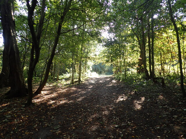
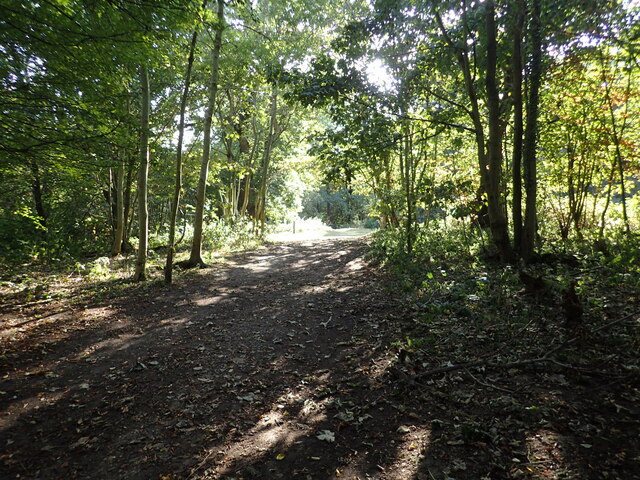
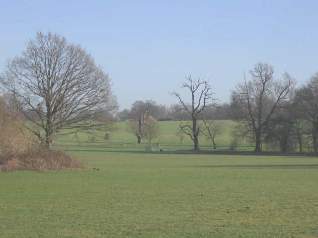
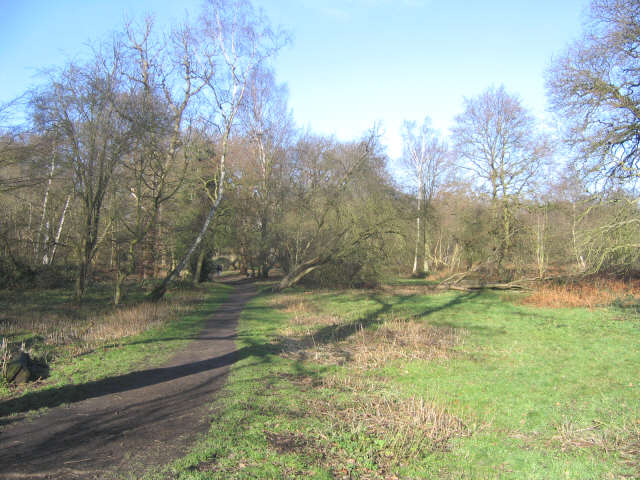
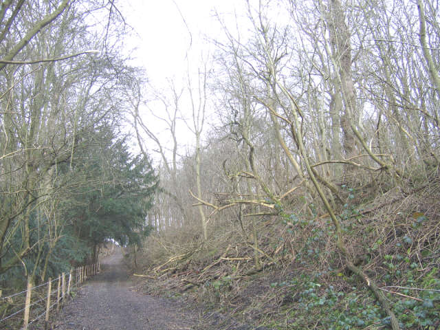
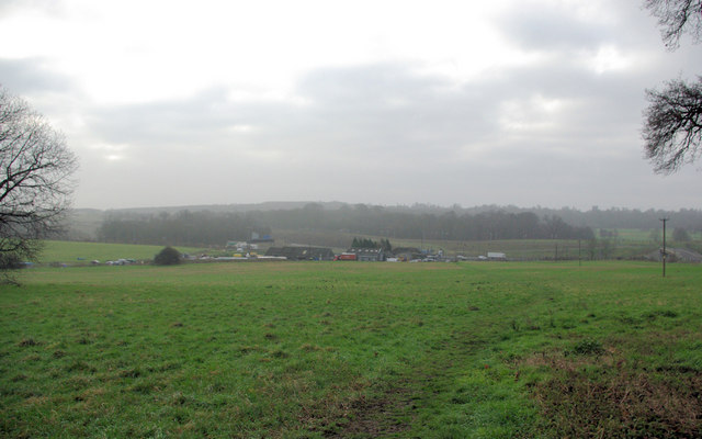
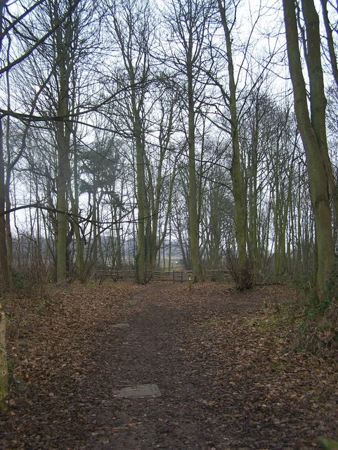
Surrounded by beautiful landscapes, Upper Ifield offers ample opportunities for outdoor enthusiasts. The nearby countryside provides scenic walking and cycling routes, allowing residents to explore the natural beauty of the area. The village is also close to several nature reserves and parks, offering further options for nature lovers.
While Upper Ifield may be a small village, it benefits from its proximity to larger towns and cities. Canterbury, with its rich history, cultural attractions, and amenities, is easily accessible, providing residents with a range of services and entertainment options.
In summary, Upper Ifield is a charming village in Kent that offers a peaceful and close-knit community, picturesque surroundings, and convenient access to nearby amenities.
If you have any feedback on the listing, please let us know in the comments section below.
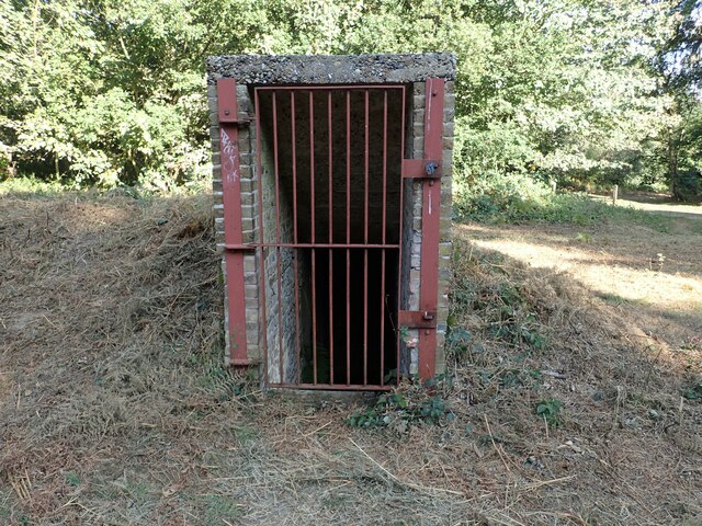
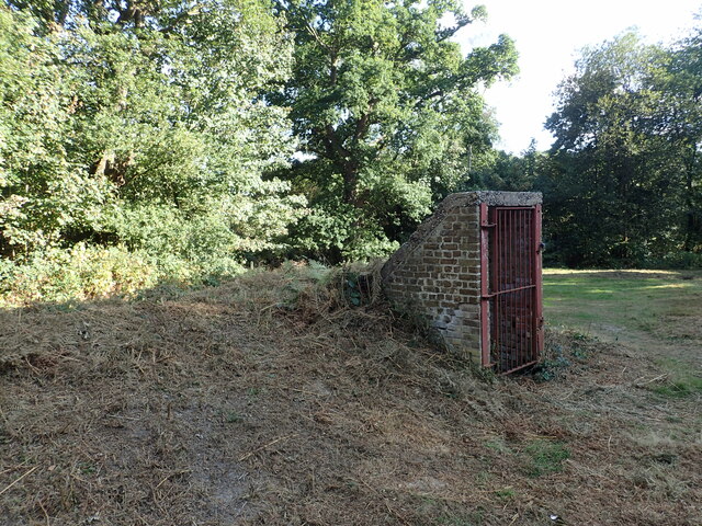
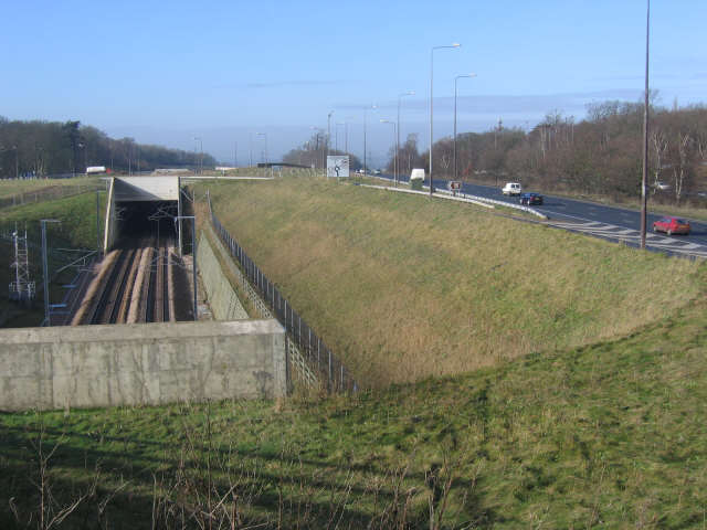
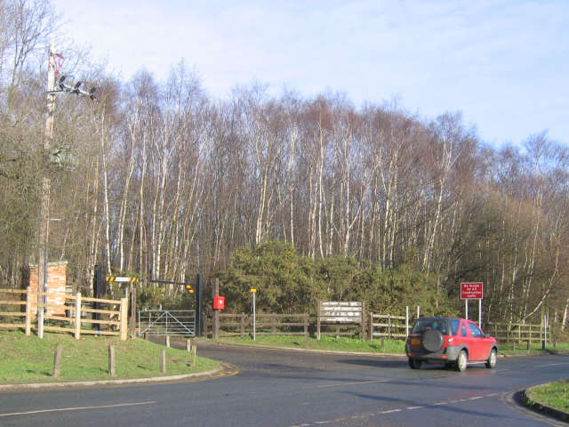
Upper Ifield Images
Images are sourced within 2km of 51.413009/0.420361 or Grid Reference TQ6871. Thanks to Geograph Open Source API. All images are credited.
Upper Ifield is located at Grid Ref: TQ6871 (Lat: 51.413009, Lng: 0.420361)
Administrative County: Kent
District: Gravesham
Police Authority: Kent
What 3 Words
///laying.lower.kicked. Near Strood, Kent
Nearby Locations
Related Wikis

Shorne
Shorne is a village and civil parish in the borough of Gravesham in Kent, England. The parish lies 3 miles (4.8 km) east of Gravesend. Most of the land...

Shorne Wood Country Park
Shorne Wood Country Park is located between Strood and Gravesend, in the English county of Kent. It was once part of a large estate, later passed to the...

Thong, Kent
Thong is a hamlet southeast of Gravesend in Kent, England. The population of the hamlet is included in the civil parish of Shorne. It has frequently been...

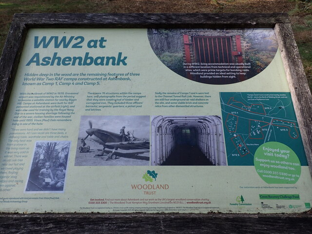
Shorne and Ashenbank Woods
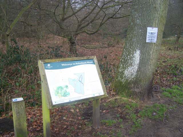
Shorne and Ashenbank Woods is a 197.4-hectare (488-acre) biological Site of Special Scientific Interest between Rochester and Gravesend in Kent. Part of...

Gravesham
Gravesham ( GRAYV-shəm) is a local government district with borough status in north-west Kent, England. The council is based in its largest town of Gravesend...

Gravesend Airport
Gravesend Airport, located 2.5 miles (4.0 km) south-east of Gravesend town centre, Kent and 7.0 miles (11.3 km) west of Rochester. It was operated from...

Great Crabbles Wood
Great Crabbles Wood is a 33-hectare (82-acre) biological Site of Special Scientific Interest north-west of Rochester in Kent.Most of the wood is mixed...
Thamesview School
Thamesview School is a coeducational foundation high school and sixth form, located in Gravesend in the English county of Kent.It is administered by Kent...
Nearby Amenities
Located within 500m of 51.413009,0.420361Have you been to Upper Ifield?
Leave your review of Upper Ifield below (or comments, questions and feedback).