Upper Hardres

Settlement in Kent Canterbury

England

Upper Hardres

Sheep, Lynsore Bottom A dry chalk valley.
Sheep, Lynsore Bottom Credit: Robin Webster

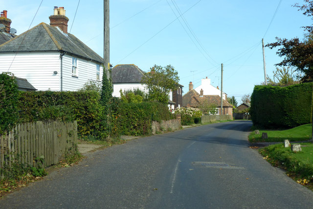
Upper Hardres is a small village located in the county of Kent, England. Situated in the heart of the Kent Downs Area of Outstanding Natural Beauty, it offers its residents and visitors a picturesque rural setting with stunning views of the surrounding countryside.

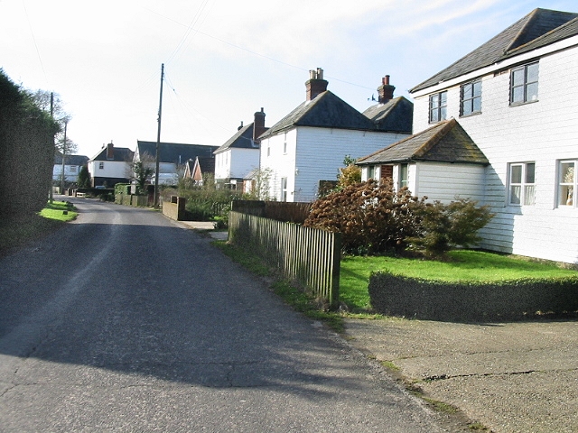
The village is nestled on the eastern slope of the North Downs, approximately 7 miles south of the historic city of Canterbury. It is characterized by its charming mix of traditional Kentish architecture, including timber-framed cottages and quaint village houses.

Upper Hardres is home to a tight-knit community, with a population of around 200 people. The village boasts a primary school, St. Peter's Church, and a village hall, which serves as a gathering place for various community events and activities.

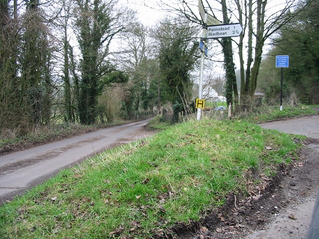
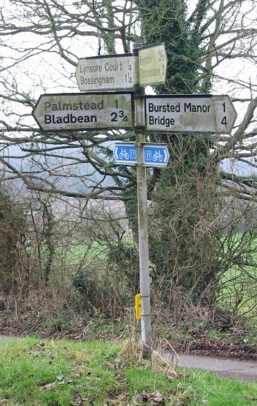
The surrounding area offers ample opportunities for outdoor enthusiasts, with numerous walking and cycling trails winding through the beautiful countryside. The nearby Hardres Court Farm, a working farm, provides a glimpse into traditional agricultural practices.

Despite its rural location, Upper Hardres benefits from its proximity to Canterbury, where residents can access a wider range of amenities, including shops, restaurants, and cultural attractions.

Overall, Upper Hardres offers a peaceful and idyllic lifestyle, with its charming rural setting, sense of community, and easy access to both nature and urban amenities.

If you have any feedback on the listing, please let us know in the comments section below.

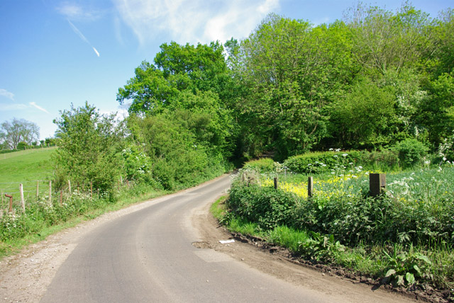
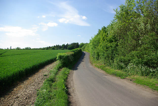
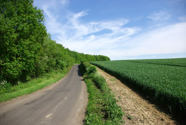
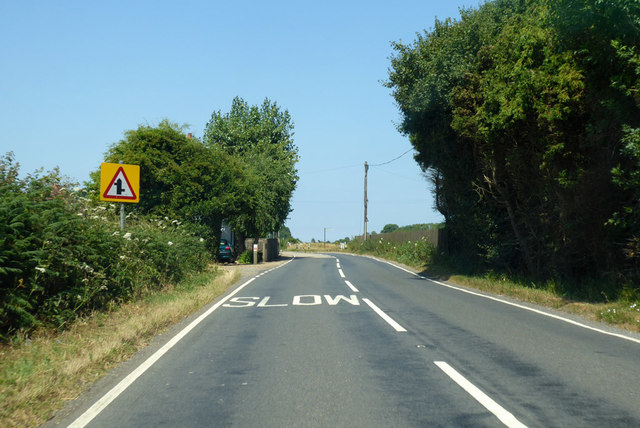
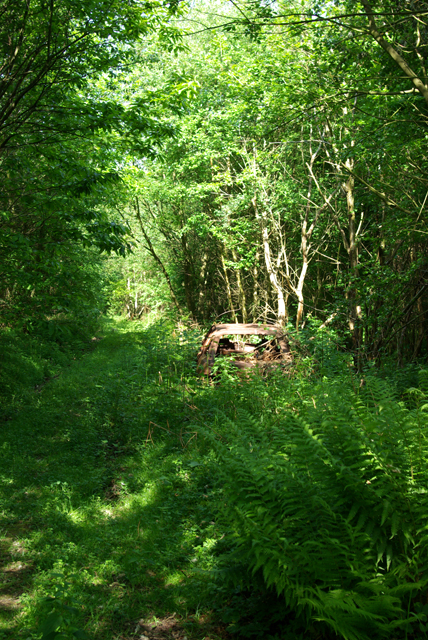
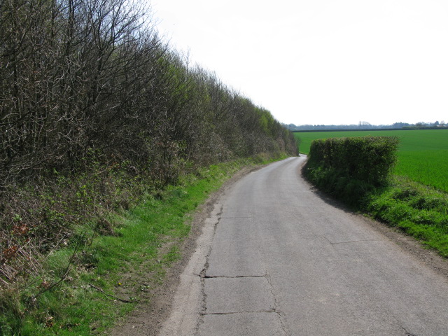
Upper Hardres Images

Images are sourced within 2km of 51.215646/1.0808366 or Grid Reference TR1550. Thanks to Geograph Open Source API. All images are credited.

Sheep, Lynsore Bottom A dry chalk valley.
Sheep, Lynsore Bottom
A dry chalk valley.
Lime Kiln Lane From Bossingham towards Stone Street.
Lime Kiln Lane
From Bossingham towards Stone Street.
Lime Kiln Lane From Bossingham towards Stone Street.
Lime Kiln Lane
From Bossingham towards Stone Street.
Lime Kiln Lane From Stone Street towards Bossingham.
Lime Kiln Lane
From Stone Street towards Bossingham.
B2068 Stone Street towards Canterbury Bossingham right, Stoneway Park, a site of tightly packed chalets, left.
B2068 Stone Street towards Canterbury
Bossingham right, Stoneway Park, a site of tightly packed chalets, left.
Bossingham Street, Bossingham Towards Canterbury.
Bossingham Street, Bossingham
Towards Canterbury.
The Street, Bossingham The Hop Pocket pub on the right. It may have closed down - there is no inn sign.
The Street, Bossingham
The Hop Pocket pub on the right. It may have closed down - there is no inn sign.
Straw bales on Little Westwood Farm
Junction on Pett Bottom Road
View across Lynsore Bottom
Dirty signpost
Dirty signpost
The Hop Pocket, Bossingham
Houses on Bossingham Street
Entering Bossingham on Hardres Court Road
Path into Upper Hardres Wood A private wood, complete with an abandoned car (and fly-tipping at the path entrance).
Path into Upper Hardres Wood
A private wood, complete with an abandoned car (and fly-tipping at the path entrance).
View along Lime Kiln Lane towards Bossingham
View N along the Stone Street From junction with Lime Kiln Lane.
View N along the Stone Street
From junction with Lime Kiln Lane.
Entrance into Upper Hardres Wood
Show me another place!

Upper Hardres is located at Grid Ref: TR1550 (Lat: 51.215646, Lng: 1.0808366)

Administrative County: Kent

District: Canterbury

Police Authority: Kent

What 3 Words

///such.beeline.satin. Near Bridge, Kent

Nearby Locations

Upper Hardres

Related Wikis

Upper Hardres

Upper Hardres is a village and civil parish in the City of Canterbury, in the district of Kent, England. The name of the Hardres family is perpetuated...

Pett Bottom (Canterbury)

Pett Bottom is a small settlement about five miles (8 km) south of Canterbury, Kent, England. The nearest village is Lower Hardres. It is in the civil...

Bossingham

Bossingham is a village in the parish of Upper Hardres and the district of the City of Canterbury, Kent, England. It is located about five miles (8 km...

Lower Hardres

Lower Hardres is a village and former civil parish, now in the parish of Lower Hardres and Nackington, in the City of Canterbury district of Kent, England...

Nearby Amenities

Located within 500m of 51.215646,1.0808366
Post Box
Postal Code: CT4
Ref: CT4 84
Source: survey
Lat/Long: 51.2150077/1.0817774
Bus Stop
Hardres Court Farm
Flag: no
Naptan AtcoCode: 240099389
Naptan Bearing: N
Naptan BusStopType: CUS
Naptan CommonName: Hardres Court Farm
Naptan Indicator: opp
Naptan Landmark: Hardres Court Farm
Naptan NaptanCode: kntgptgj
Naptan Street: Hardres Court Road
Naptan Verified: no
Public Transport: platform
Source: naptan_import
Lat/Long: 51.2147472/1.0816582
Bus Stop
Hardres Court Farm
Flag: no
Naptan AtcoCode: 240099391
Naptan Bearing: S
Naptan BusStopType: CUS
Naptan CommonName: Hardres Court Farm
Naptan Indicator: adj
Naptan Landmark: Hardres Court Farm
Naptan NaptanCode: kntgptgd
Naptan Street: Hardres Court Road
Naptan Verified: no
Public Transport: platform
Source: naptan_import
Lat/Long: 51.2147404/1.0819155
Upper Hardres
Place: hamlet
Lat/Long: 51.2147819/1.0809017
Power: pole
Lat/Long: 51.2166232/1.0744087
Power: pole
Lat/Long: 51.2162417/1.0780642
Power: pole
Lat/Long: 51.2160555/1.0798442
Power: pole
Lat/Long: 51.2159939/1.0817584
Power: pole
Lat/Long: 51.2164285/1.0762739
Barrier: stile
Lat/Long: 51.2137107/1.0816459
The data included in this document is from www.openstreetmap.org. The data is made available under ODbL.

Have you been to Upper Hardres?

Leave your review of Upper Hardres below (or comments, questions and feedback).