Begbroke

Settlement in Oxfordshire Cherwell

England

Begbroke

Roundham Lock, Kidlington Separated from Kidlington by the railway, Roundham Lock is in a fairly secluded setting.
Roundham Lock, Kidlington Credit: Des Blenkinsopp

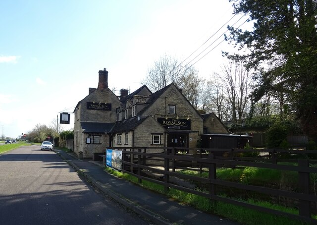
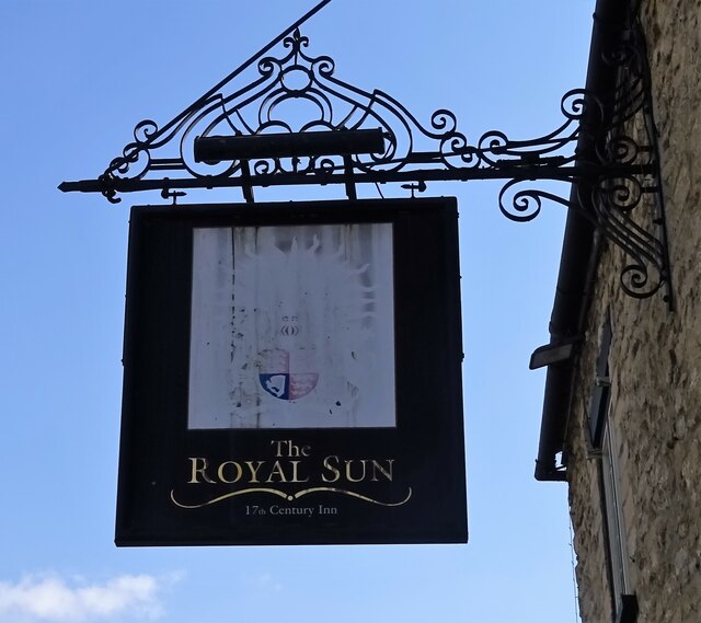
Begbroke is a small village located in Oxfordshire, England. Situated approximately five miles northwest of Oxford city center, it is a peaceful and picturesque community with a population of around 500 residents.

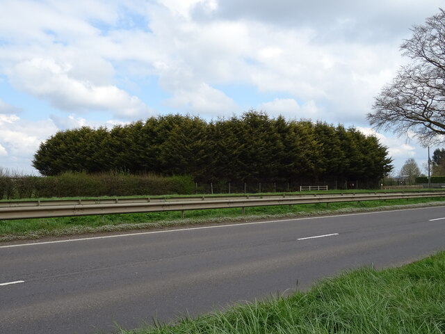
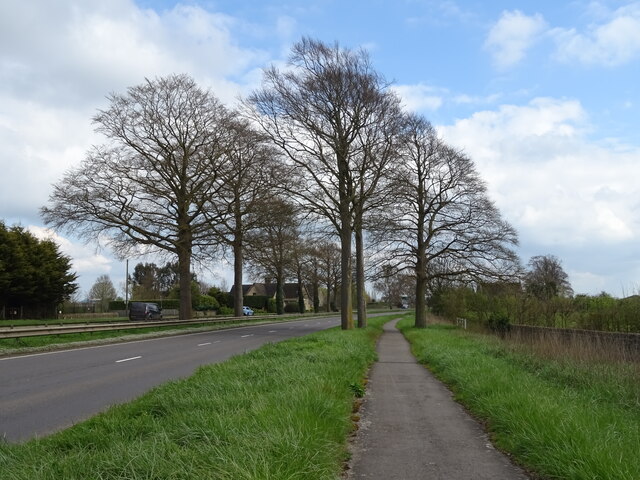
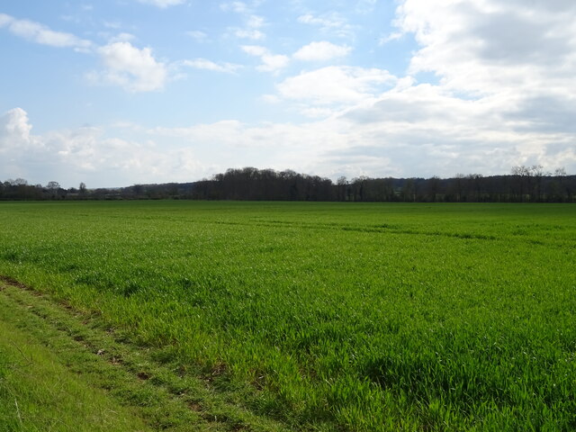
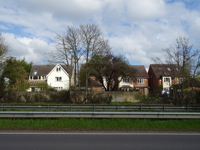
The village is known for its rural charm, characterized by beautiful landscapes, rolling hills, and fields of green. It is surrounded by the picturesque countryside of Oxfordshire, offering residents and visitors a tranquil and idyllic setting. Begbroke is primarily a residential area, with a mix of charming cottages and modern houses.

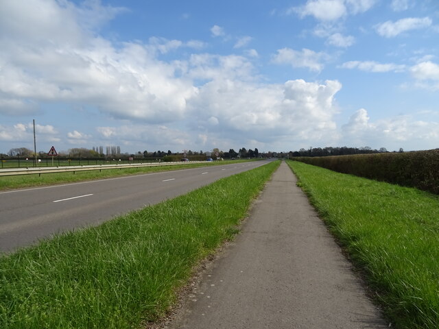
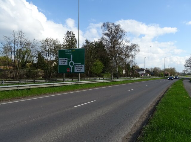
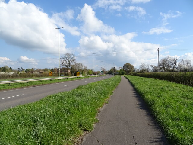
Despite its small size, Begbroke is well-connected to nearby towns and cities. The village has good transport links, with regular bus services connecting it to Oxford and other neighboring villages. Additionally, the A44 road runs close to the village, providing easy access to the wider road network.

A notable feature of Begbroke is the presence of Begbroke Science Park, a research and development facility operated by the University of Oxford. The science park is home to various technology and science-based companies, attracting professionals from various fields. This contributes to the village's vibrant and innovative atmosphere, as well as providing employment opportunities for local residents.

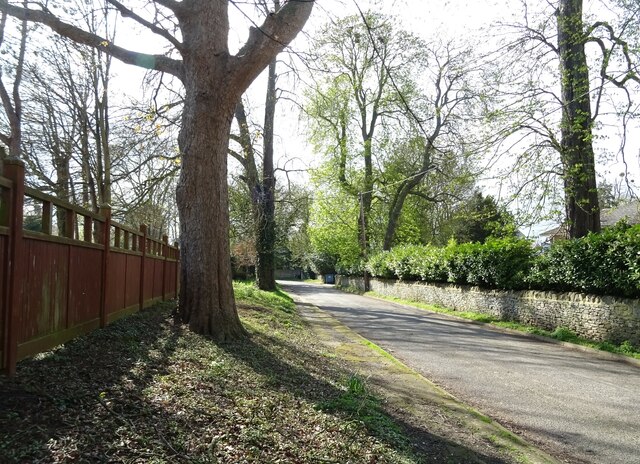
In terms of amenities, Begbroke has a community hall that serves as a hub for various social and recreational activities. There are also several walking and cycling paths in the surrounding area, allowing residents to enjoy the natural beauty of the countryside.

Overall, Begbroke is a charming village known for its rural beauty, peaceful atmosphere, and proximity to Oxford.

If you have any feedback on the listing, please let us know in the comments section below.

Begbroke Images

Images are sourced within 2km of 51.822613/-1.318587 or Grid Reference SP4714. Thanks to Geograph Open Source API. All images are credited.

Roundham Lock, Kidlington Separated from Kidlington by the railway, Roundham Lock is in a fairly secluded setting.
Roundham Lock, Kidlington
Separated from Kidlington by the railway, Roundham Lock is in a fairly secluded setting.
More Temporary Traffic Lights As if there's not enough of these things on the roads, they're moving onto the canals as well.
As usual, there's nobody doing any work.
Oxford Canal near Kidlington.
More Temporary Traffic Lights
As if there's not enough of these things on the roads, they're moving onto the canals as well. As usual, there's nobody doing any work. Oxford Canal near Kidlington.
Lone tree at Yarnton Viewed from a passing train.
Lone tree at Yarnton
Viewed from a passing train.
Woodland, Campsfield
Path beside Woodstock Road (A44)
Crop field beside the A44
National Cycle Network Route 5 Beside Woodstock Road (A44).
National Cycle Network Route 5
Beside Woodstock Road (A44).
Crash Gate, London Oxford Airport Beside Woodstock Road (A44).
Crash Gate, London Oxford Airport
Beside Woodstock Road (A44).
Houses on Woodstock Road East
Woodstock Road West (A44)
Spring Hill Road
Spring Hill Road
The Royal Sun public house
Sign for the Royal Sun public house
National Cycle Network Route 5 towards Oxford Beside Woodstock Road (A44).
National Cycle Network Route 5 towards Oxford
Beside Woodstock Road (A44).
Phone mast beside National Cycle Network Route 5
House on Woodstock Road
National Cycle Network Route 5 Beside Woodstock Road (A44).
National Cycle Network Route 5
Beside Woodstock Road (A44).
Service station on Woodstock Road, Yarnton Petrol 147.9p.
Diesel 161.9p.
Service station on Woodstock Road, Yarnton
Petrol 147.9p. Diesel 161.9p.
Show me another place!

Begbroke is located at Grid Ref: SP4714 (Lat: 51.822613, Lng: -1.318587)

Administrative County: Oxfordshire

District: Cherwell

Police Authority: Thames Valley

What 3 Words

///isolating.conjured.civil. Near Yarnton, Oxfordshire

Related Wikis

Begbroke

Begbroke ( BEG-bruuk) is a village and civil parish in Oxfordshire about one mile (1.6 km) west of Kidlington and five miles (8 km) northwest of Oxford...
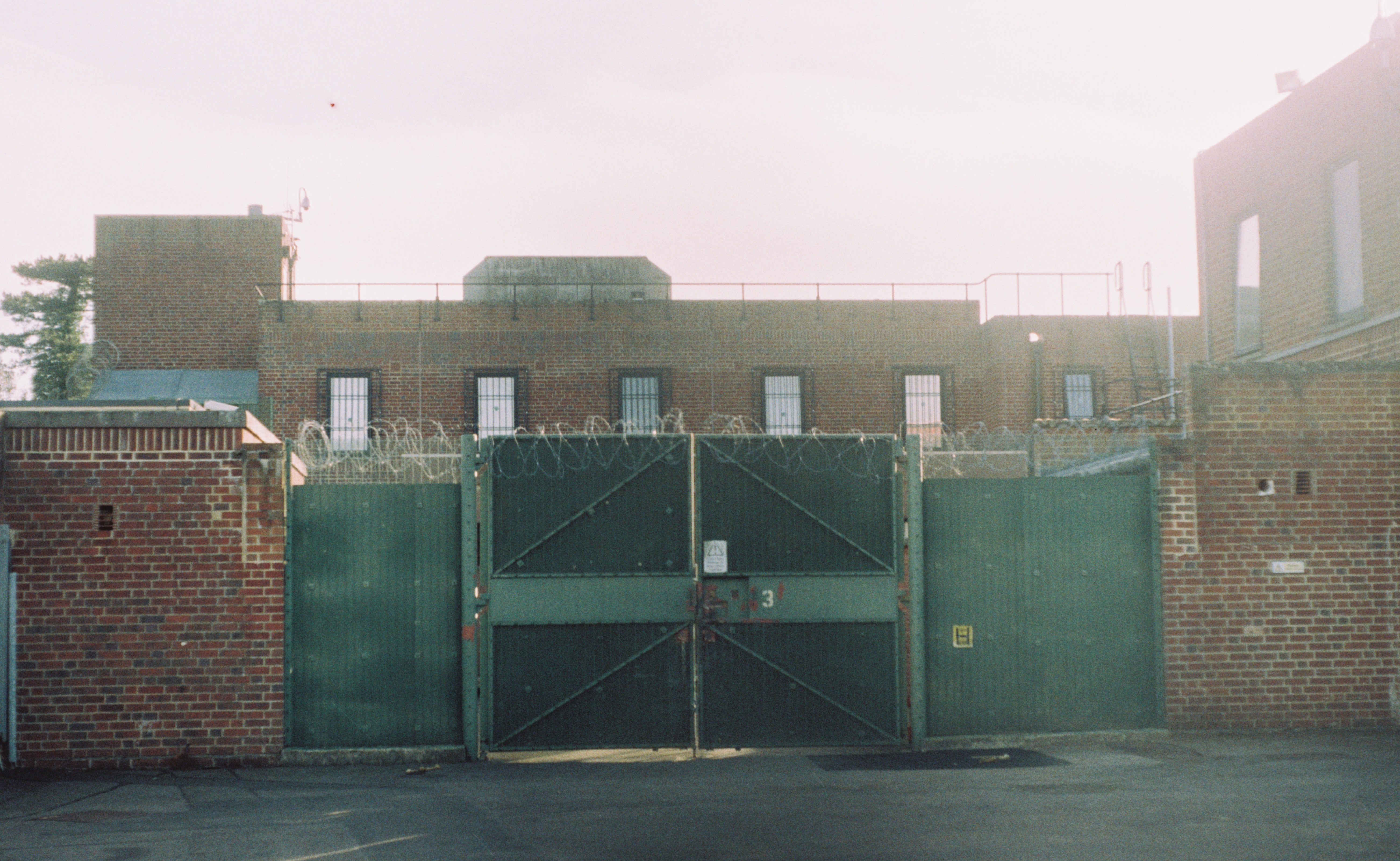
Campsfield House

Campsfield House was an immigration detention centre located in Kidlington near Oxford, England, operated by private prison firm Group 4 under contract...

Begbroke Science Park

Begbroke Science Park is a science park located five miles north of Oxford, England. It is owned by Oxford University and managed as part of the university...

Rushy Meadows

Rushy Meadows is an 8.9-hectare (22-acre) biological Site of Special Scientific Interest on the western outskirts of Kidlington in Oxfordshire.This site...
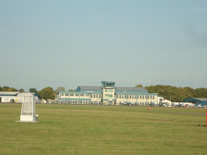
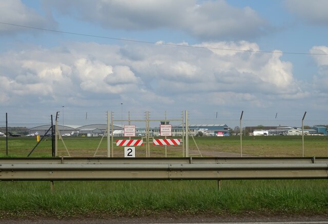
CAE Oxford

CAE Oxford, part of CAE Inc., is an ab initio flight training network. It provides integrated aviation training and resourcing services. Professional airline...
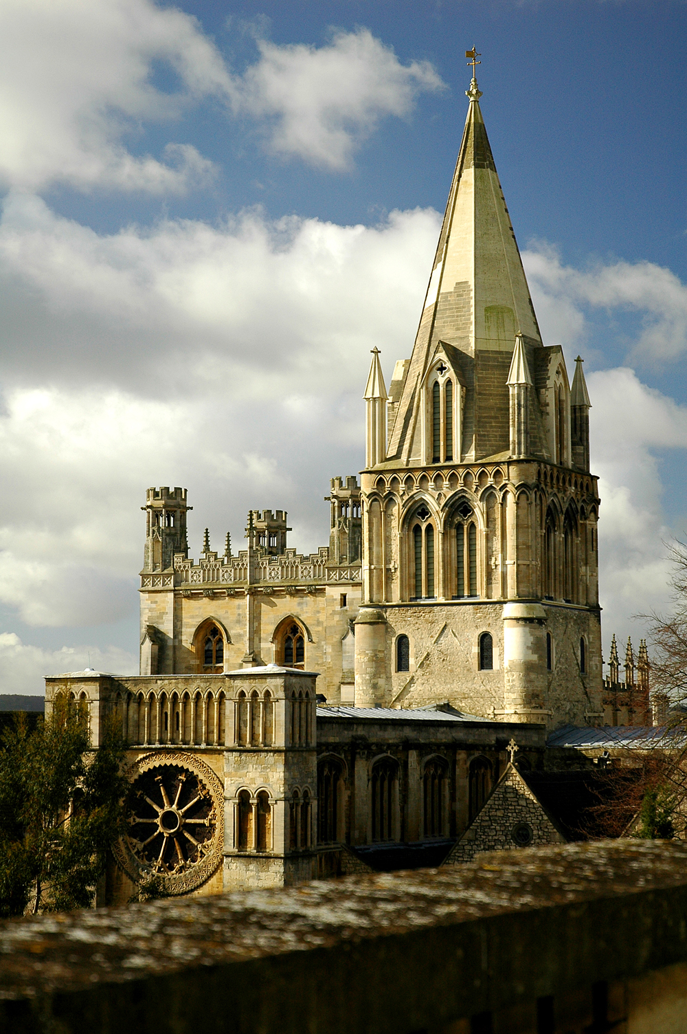
Diocese of Oxford

The Diocese of Oxford is a Church of England diocese that forms part of the Province of Canterbury. The diocese is led by the Bishop of Oxford (currently...

Yarnton

Yarnton is a village and civil parish in Oxfordshire about 1 mile (1.6 km) southwest of Kidlington and 4 miles (6 km) northwest of Oxford. The 2011 Census...

Kidlington railway station

Kidlington railway station opened in 1855 on the Oxford and Rugby Railway to serve the adjacent Oxfordshire village of Kidlington, and act as a railhead...

Nearby Amenities

Located within 500m of 51.822613,-1.318587
Crossing
Lat/Long: 51.821723/-1.3190498
Begbroke
Is In: Oxfordshire, England, UK
Place: village
Lat/Long: 51.8224193/-1.317523
Post Box
Brand: Royal Mail
Brand Wikidata: Q638098
Brand Wikipedia: en:Royal Mail
Collection Times: Mo-Fr 16:30; Sa 09:15
Operator: Royal Mail
Operator Wikidata: Q638098
Post Box Type: pillar
Postal Code: OX5
Ref: OX5 17
Royal Cypher: GR
Royal Cypher Wikidata: Q33102273
Source: survey
Lat/Long: 51.8218827/-1.3183215
Bus Stop
Royal Sun
Bus: yes
Naptan AtcoCode: 340001534OPP
Naptan Bearing: S
Naptan CommonName: Royal Sun
Naptan Indicator: Opposite
Naptan Landmark: Royal Sun PH
Naptan NaptanCode: oxfgdpam
Naptan Street: Woodstock Road
Naptan Verified: no
Public Transport: platform
Source: naptan_import
Lat/Long: 51.8218511/-1.3183084
Bus Stop
Royal Sun
Bus: yes
Naptan AtcoCode: 340001534OUT
Naptan Bearing: N
Naptan CommonName: Royal Sun
Naptan Indicator: Outside
Naptan Landmark: Royal Sun PH
Naptan NaptanCode: oxfgdpaj
Naptan Street: Woodstock Road
Naptan Verified: no
Public Transport: platform
Source: naptan_import
Lat/Long: 51.8221914/-1.3189539
Barrier: stile
Lat/Long: 51.81923/-1.3182492
Barrier: stile
Source: survey
Lat/Long: 51.820135/-1.3244931
Crossing
Crossing: uncontrolled
Source: survey
Lat/Long: 51.8220001/-1.3188862
Crossing
Crossing: uncontrolled
Source: survey
Lat/Long: 51.8220031/-1.318691
Vans For Bands
Addr City: Kidlington
Addr Housenumber: 42
Addr Postcode: OX5 1RG
Addr Street: Woodstock Road East
Phone: +44 1865 842840
Website: https://www.vansforbands.co.uk/
Lat/Long: 51.8250048/-1.3183915
Defibrillator
Defibrillator Location: Outside wall right of entrance
Emergency: defibrillator
Indoor: no
Lat/Long: 51.8231094/-1.3173614
The data included in this document is from www.openstreetmap.org. The data is made available under ODbL.

Have you been to Begbroke?

Leave your review of Begbroke below (or comments, questions and feedback).