Oxford Spires Park

Settlement in Oxfordshire Cherwell

England

Oxford Spires Park

Hampton Gay Church
Hampton Gay Church Credit: AJD

Oxford Spires Park, located in Oxfordshire, England, is a picturesque and serene green space that offers a peaceful escape from the bustling city life. Spanning over 50 acres, the park is located just a stone's throw away from the city center, making it easily accessible for both locals and visitors.

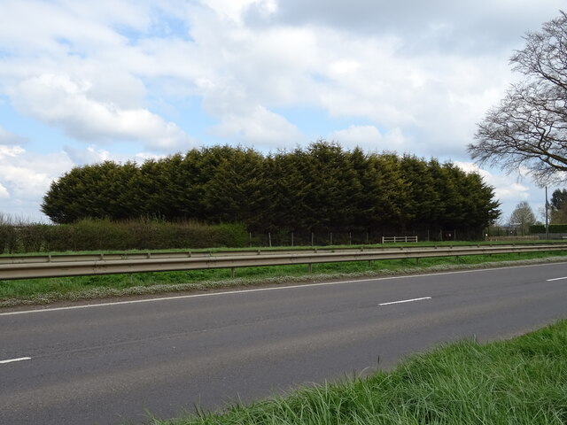
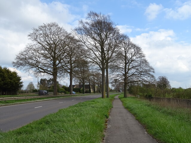
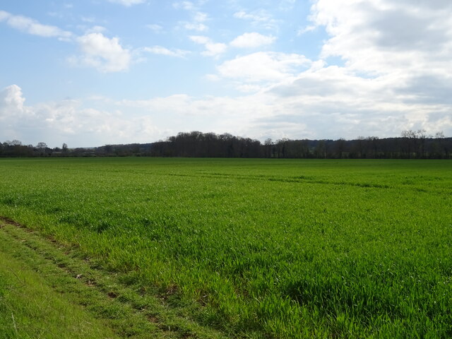
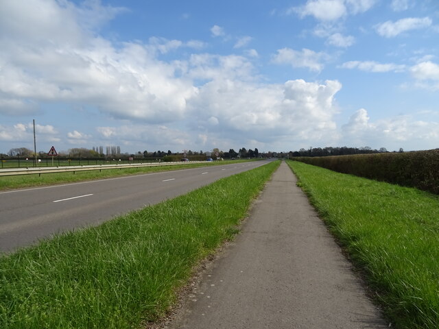
The park is known for its stunning landscape, featuring a mix of open fields, lush greenery, and a meandering river. The River Thames flows through the park, adding to its natural charm and providing a tranquil setting for visitors to enjoy. There are several walking and cycling paths that wind their way through the park, allowing visitors to explore the area at their leisure.

Oxford Spires Park is also home to a variety of wildlife, making it a popular spot for nature enthusiasts. The park is home to a wide range of bird species, including swans, ducks, and herons, which can often be seen gliding across the river or nesting in the park's trees. Additionally, the park is home to several species of butterflies and small mammals, adding to its ecological diversity.

Facilities within the park include picnic areas, benches, and a children's playground, making it an ideal location for families to spend a day outdoors. The park is also a popular spot for sports enthusiasts, with ample space for activities such as football, cricket, and frisbee.

Overall, Oxford Spires Park is a serene haven in the heart of Oxfordshire, offering a peaceful and natural retreat for all who visit.

If you have any feedback on the listing, please let us know in the comments section below.

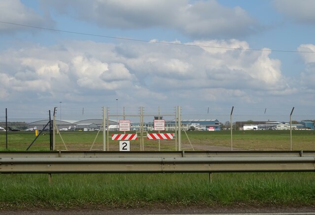
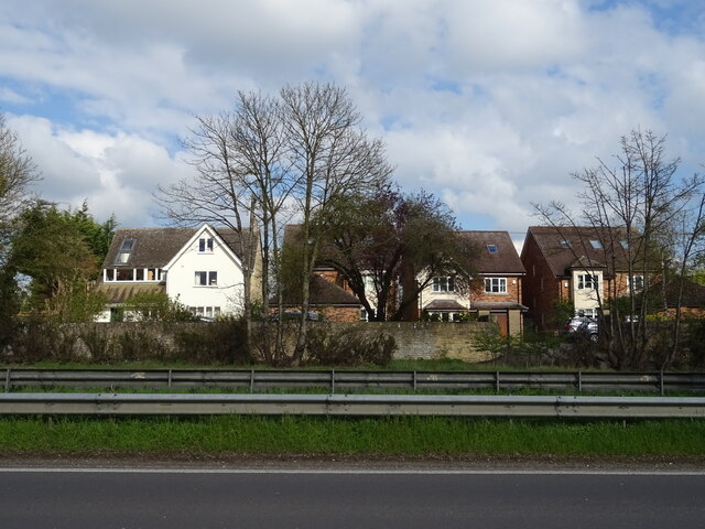
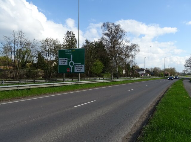
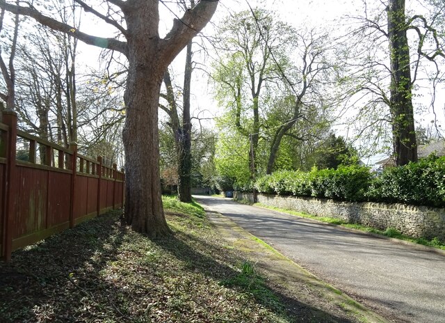
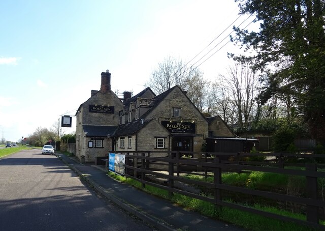
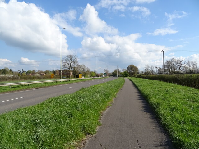
Oxford Spires Park Images

Images are sourced within 2km of 51.830734/-1.3097419 or Grid Reference SP4714. Thanks to Geograph Open Source API. All images are credited.

Hampton Gay Church
Hampton Gay Church
Roundham Lock, Kidlington Separated from Kidlington by the railway, Roundham Lock is in a fairly secluded setting.
Roundham Lock, Kidlington
Separated from Kidlington by the railway, Roundham Lock is in a fairly secluded setting.
More Temporary Traffic Lights As if there's not enough of these things on the roads, they're moving onto the canals as well.
As usual, there's nobody doing any work.
Oxford Canal near Kidlington.
More Temporary Traffic Lights
As if there's not enough of these things on the roads, they're moving onto the canals as well. As usual, there's nobody doing any work. Oxford Canal near Kidlington.
The Oxford Canal at Shipton-on-Cherwell Viewed from a passing train. To the right is the abutment of a former railway bridge. <a href="https://www.geograph.org.uk/photo/6541234">SP4816 : Oxford Canal, near Shipton-on-Cherwell</a> taken the previous year shows the same view from the oppsoite direction, and gives more history of the railway.
The Oxford Canal at Shipton-on-Cherwell
Viewed from a passing train. To the right is the abutment of a former railway bridge. SP4816 : Oxford Canal, near Shipton-on-Cherwell taken the previous year shows the same view from the oppsoite direction, and gives more history of the railway.
Exeter Hall, Kidlington This is a community centre which includes a bar, a theatre and a clinic.
Exeter Hall, Kidlington
This is a community centre which includes a bar, a theatre and a clinic.
Kidlington Methodist Church
Jeep garage on Banbury Road, Shipton-on-Cherwell
Woodland, Campsfield
Path beside Woodstock Road (A44)
Crop field beside the A44
National Cycle Network Route 5 Beside Woodstock Road (A44).
National Cycle Network Route 5
Beside Woodstock Road (A44).
Crash Gate, London Oxford Airport Beside Woodstock Road (A44).
Crash Gate, London Oxford Airport
Beside Woodstock Road (A44).
Houses on Woodstock Road East
Woodstock Road West (A44)
Spring Hill Road
Spring Hill Road
The Royal Sun public house
Sign for the Royal Sun public house
National Cycle Network Route 5 towards Oxford Beside Woodstock Road (A44).
National Cycle Network Route 5 towards Oxford
Beside Woodstock Road (A44).
Show me another place!

Oxford Spires Park is located at Grid Ref: SP4714 (Lat: 51.830734, Lng: -1.3097419)

Administrative County: Oxfordshire

District: Cherwell

Police Authority: Thames Valley

What 3 Words

///messing.refreshed.trophy. Near Kidlington, Oxfordshire

Related Wikis

Diocese of Oxford

The Diocese of Oxford is a Church of England diocese that forms part of the Province of Canterbury. The diocese is led by the Bishop of Oxford (currently...

CAE Oxford

CAE Oxford, part of CAE Inc., is an ab initio flight training network. It provides integrated aviation training and resourcing services. Professional airline...
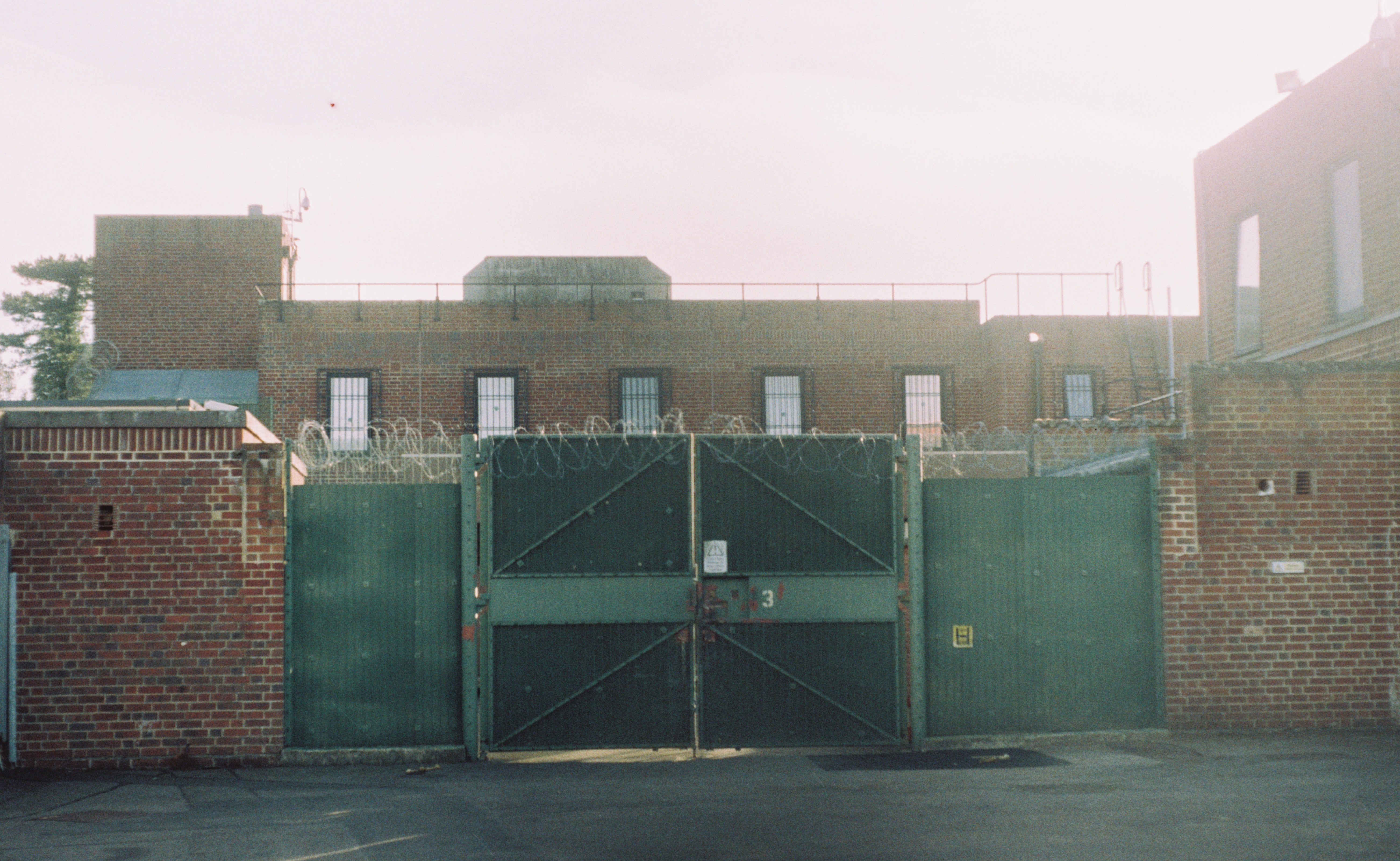
Campsfield House

Campsfield House was an immigration detention centre located in Kidlington near Oxford, England, operated by private prison firm Group 4 under contract...

Kidlington railway station

Kidlington railway station opened in 1855 on the Oxford and Rugby Railway to serve the adjacent Oxfordshire village of Kidlington, and act as a railhead...

Rushy Meadows

Rushy Meadows is an 8.9-hectare (22-acre) biological Site of Special Scientific Interest on the western outskirts of Kidlington in Oxfordshire.This site...
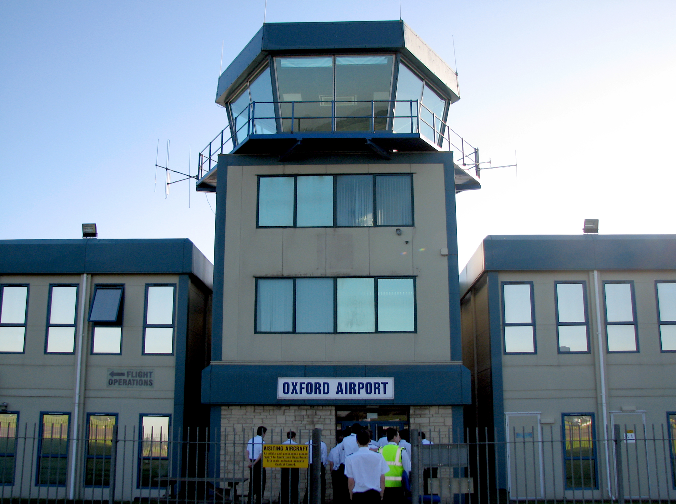
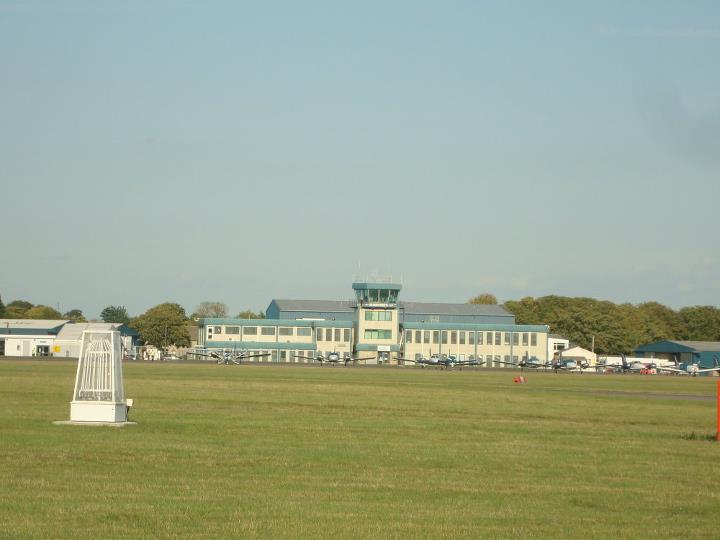
Oxford Airport

London Oxford Airport (IATA: OXF, ICAO: EGTK), formerly known as Kidlington Airport, is a privately owned airport located near Kidlington in Cherwell District...

Thrupp, Oxfordshire

Thrupp is a hamlet just north of Kidlington in Oxfordshire. It is beside the Oxford Canal and close to the River Cherwell. == History == Before the Norman...

Begbroke

Begbroke ( BEG-bruuk) is a village and civil parish in Oxfordshire about one mile (1.6 km) west of Kidlington and five miles (8 km) northwest of Oxford...

Nearby Amenities

Located within 500m of 51.830734,-1.3097419
Mini Roundabout
Direction: clockwise
Lat/Long: 51.8279182/-1.3076094
Bus Stop
Langford Locks
Bench: no
Bin: no
Bus: yes
Naptan AtcoCode: 340000952IND
Naptan Bearing: W
Naptan CommonName: Langford Locks
Naptan Indicator: Industrial Estate
Naptan Landmark: Industrial Estate
Naptan NaptanCode: oxfadtmw
Naptan PlusbusZoneRef: OXFD
Naptan Street: Langford Lane
Naptan Verified: no
Public Transport: platform
Shelter: no
Source: naptan_import
Tactile Paving: no
Lat/Long: 51.8313617/-1.303447
Bus Stop
Langford Locks
Bus: yes
Naptan AtcoCode: 340000952TF
Naptan Bearing: E
Naptan CommonName: Langford Locks
Naptan Indicator: Thrupp Footpath
Naptan Landmark: Thrupp Footpath
Naptan NaptanCode: oxfadtmt
Naptan PlusbusZoneRef: OXFD
Naptan Street: Langford Lane
Naptan Verified: no
Public Transport: platform
Source: naptan_import
Lat/Long: 51.8311323/-1.3059254
Bus Stop
Oxford Motor Park
Bus: yes
Naptan AtcoCode: 340001341ENT
Naptan Bearing: W
Naptan CommonName: Oxford Motor Park
Naptan Indicator: Entrance
Naptan Landmark: Motor Park
Naptan NaptanCode: oxfajgmg
Naptan PlusbusZoneRef: OXFD
Naptan Street: Langford Lane
Naptan Verified: no
Public Transport: platform
Source: naptan_import
Lat/Long: 51.830794/-1.3073678
Bus Stop
Oxford Airport
Bus: yes
Naptan AtcoCode: 340001350TBD
Naptan Bearing: S
Naptan CommonName: Oxford Airport
Naptan Indicator: The Boulevard
Naptan Landmark: The Boulevard
Naptan NaptanCode: oxfajgmw
Naptan PlusbusZoneRef: OXFD
Naptan Street: Langford Lane
Naptan Verified: no
Public Transport: platform
Source: naptan_import
Lat/Long: 51.8314076/-1.3097156
Mini Roundabout
Direction: clockwise
Source: Bing
Lat/Long: 51.8331979/-1.3151571
Aeroway: holding_position
Ref: A2
Lat/Long: 51.830253/-1.316168
Parking
Abandoned: yes
Parking: bay
Lat/Long: 51.8290301/-1.3133328
Parking
Abandoned: yes
Parking: bay
Lat/Long: 51.8288688/-1.3132351
Leisure: park
Lat/Long: 51.8290917/-1.3138285
Camera Type: dome
Man Made: surveillance
Operator: Elsevier Ltd
Surveillance: outdoor
Surveillance Type: camera
Lat/Long: 51.8329737/-1.3109559
Camera Type: dome
Man Made: surveillance
Operator: Elsevier Ltd
Surveillance: outdoor
Surveillance Type: camera
Lat/Long: 51.8324322/-1.310814
Camera Type: dome
Man Made: surveillance
Operator: Elsevier Ltd
Surveillance: outdoor
Surveillance Type: camera
Lat/Long: 51.8325627/-1.3095103
Camera Type: dome
Man Made: surveillance
Operator: Elsevier Ltd
Surveillance: outdoor
Surveillance Type: camera
Lat/Long: 51.8331045/-1.3096489
King's Two Wheels Centre
Shop: motorcycle
Lat/Long: 51.8312558/-1.3035814
Aeroway: parking_position
Ref: 1
Lat/Long: 51.8318856/-1.3165751
Aeroway: parking_position
Ref: 3
Lat/Long: 51.8319988/-1.3166684
Give Way
Lat/Long: 51.8296164/-1.3117069
Power: pole
Lat/Long: 51.8266497/-1.3112086
Restaurant
Brand: Beefeater
Brand Wikidata: Q4879766
Cuisine: british
Website: https://www.beefeater.co.uk/en-gb/locations/oxford/oxford-kidlington
Lat/Long: 51.8299745/-1.3115216
Post Box
Lat/Long: 51.8310582/-1.3100096
Cafe
Lat/Long: 51.8330858/-1.3150871
Aeroway: tower
Lat/Long: 51.8328163/-1.3158418
Aeroway: holding_position
Ref: J
Lat/Long: 51.8312967/-1.3150419
Aeroway: holding_position
Ref: K
Lat/Long: 51.8321794/-1.3156959
Aeroway: holding_position
Ref: K2
Lat/Long: 51.8323647/-1.3147139
Premier Inn
Brand: Premier Inn
Brand Wikidata: Q2108626
Internet Access: wlan
Internet Access Fee: customers
Internet Access Operator: Virgin Media
Internet Access Ssid: Premier Inn Free Wi-Fi
Tourism: hotel
Lat/Long: 51.8298919/-1.3119974
Give Way
Direction: forward
Lat/Long: 51.8297332/-1.3125292
Give Way
Direction: forward
Lat/Long: 51.8297544/-1.3111781
Crossing
Crossing: unmarked
Crossing Island: yes
Tactile Paving: yes
Lat/Long: 51.8302004/-1.3112822
The data included in this document is from www.openstreetmap.org. The data is made available under ODbL.

Have you been to Oxford Spires Park?

Leave your review of Oxford Spires Park below (or comments, questions and feedback).