Begdale
Settlement in Cambridgeshire Fenland
England
Begdale
Begdale is a small village located in the county of Cambridgeshire, England. Situated on the outskirts of the market town of Wisbech, it is nestled amidst the picturesque Fens region. The village is known for its tranquil and rural setting, attracting visitors seeking a peaceful retreat from city life.
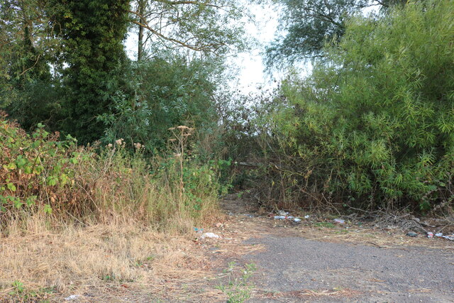
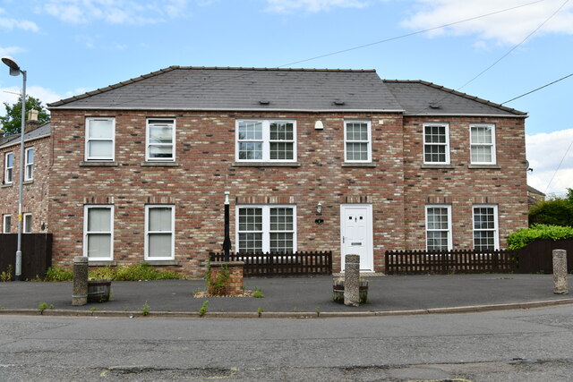
With a population of around 300 residents, Begdale exudes a close-knit community feel. Its charming and well-preserved cottages, many of which date back to the 18th and 19th centuries, add to its character and appeal. The village is surrounded by lush green fields and beautiful countryside, providing ample opportunities for outdoor activities such as walking, cycling, and birdwatching.
Begdale is conveniently located near several amenities. The nearby town of Wisbech offers a range of shops, supermarkets, and services, ensuring that residents have easy access to their everyday needs. The area is also rich in historical and cultural attractions, including the iconic Peckover House and Gardens, providing visitors with an insight into the region's heritage.
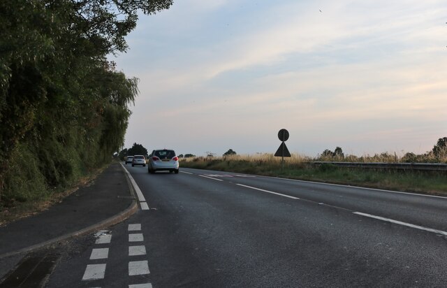
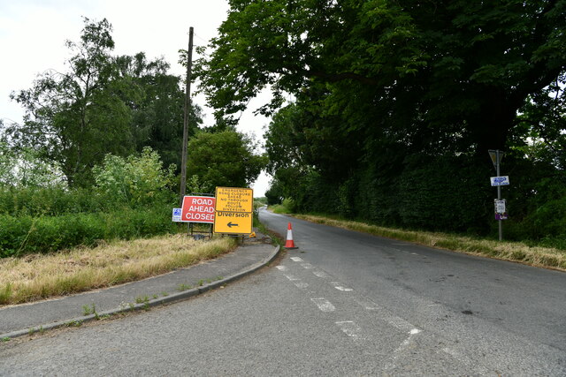
The village benefits from good transportation links, with regular bus services connecting Begdale to nearby towns and cities. The A47 road is easily accessible, providing convenient access to larger cities like Peterborough and Norwich.
Overall, Begdale is a charming and peaceful village that offers a serene living environment amidst the natural beauty of Cambridgeshire's Fens.
If you have any feedback on the listing, please let us know in the comments section below.
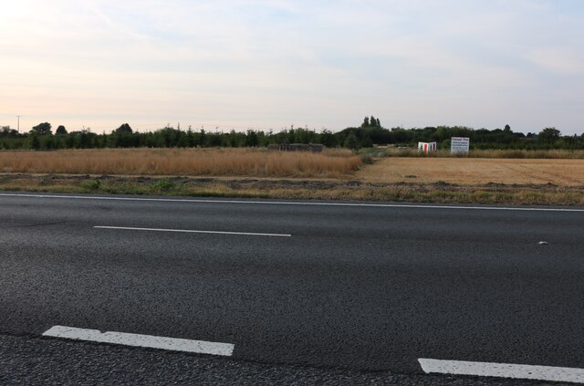
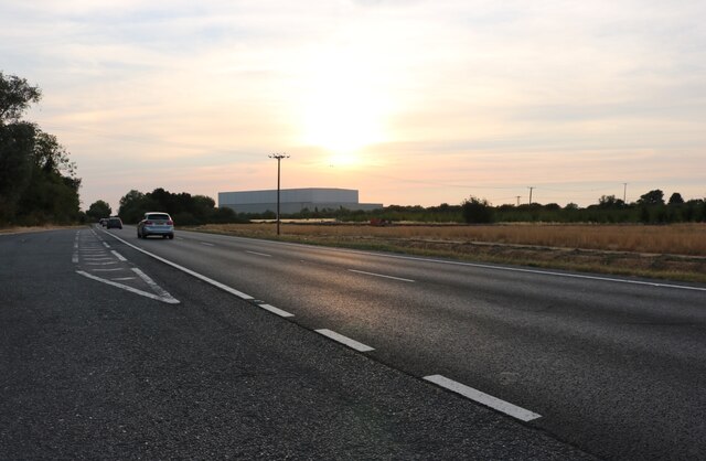
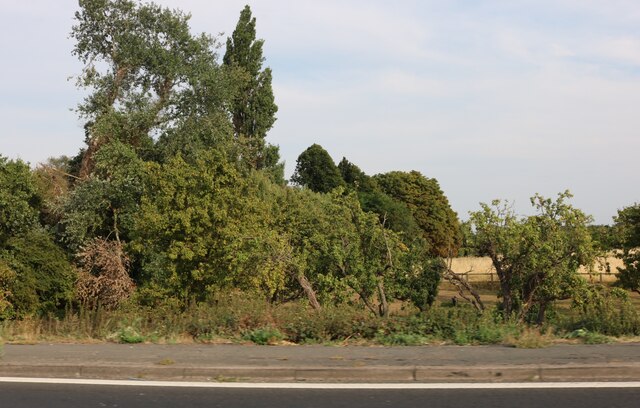
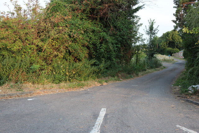
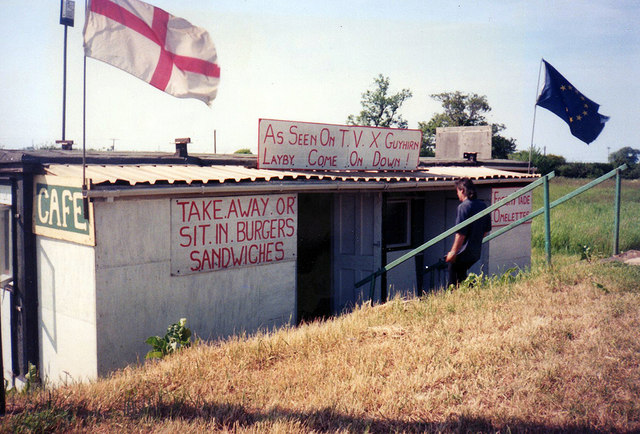
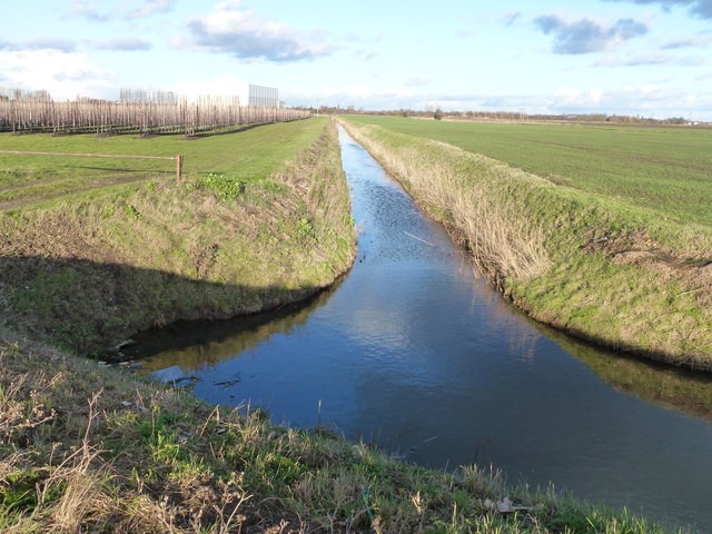
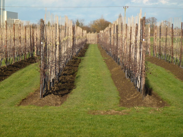
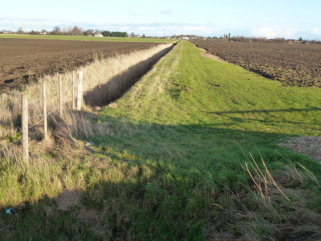
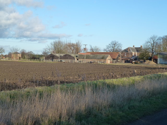
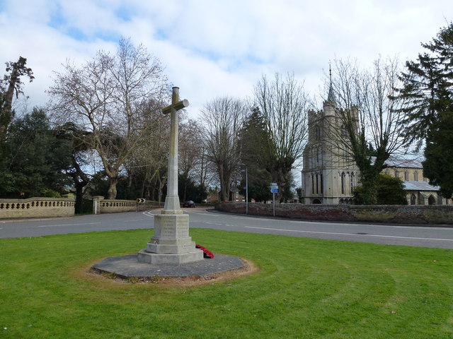
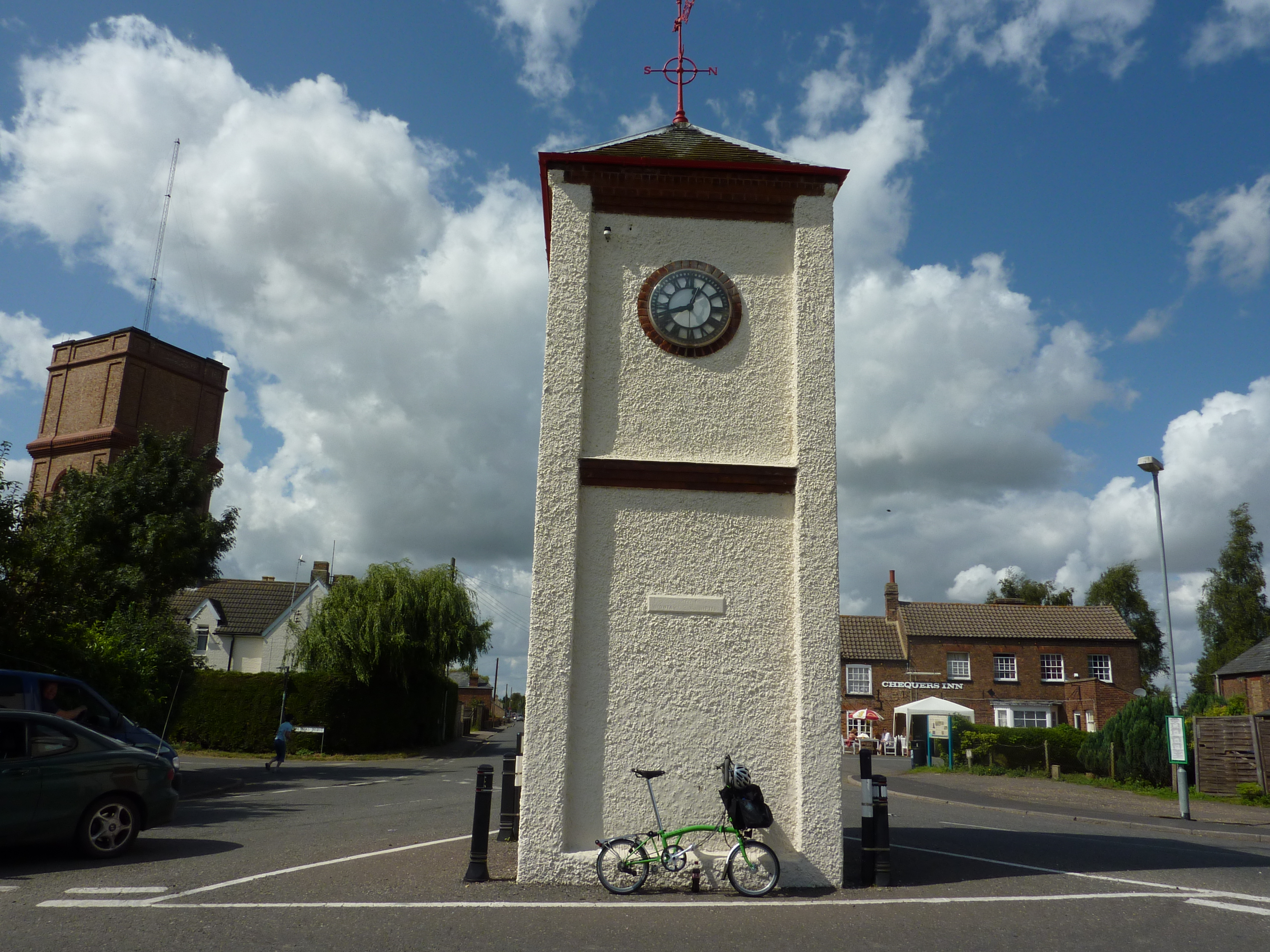
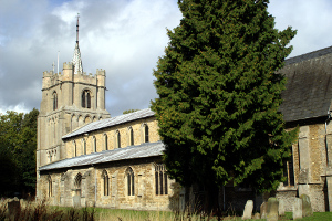
Begdale Images
Images are sourced within 2km of 52.635341/0.150146 or Grid Reference TF4506. Thanks to Geograph Open Source API. All images are credited.


Begdale is located at Grid Ref: TF4506 (Lat: 52.635341, Lng: 0.150146)
Division: Isle of Ely
Administrative County: Cambridgeshire
District: Fenland
Police Authority: Cambridgeshire
What 3 Words
///reaction.essays.burn. Near Wisbech, Cambridgeshire
Nearby Locations
Related Wikis

Begdale
Begdale is a hamlet between Wisbech, Elm and Friday Bridge in Cambridgeshire, England. == References ==
Friday Bridge, Cambridgeshire
Friday Bridge is a village in the civil parish of Elm, in the Fenland district of Cambridgeshire, England. It is 3 miles south of Wisbech. In 2021 it had...
Elm, Cambridgeshire
Elm is a village and civil parish in the Fenland District of Cambridgeshire, England. In Domesday, it is called Helle.The village is about 11⁄2 miles or...
Thomas Clarkson Academy
Thomas Clarkson Academy is a mixed secondary school and sixth form located in Wisbech, Cambridgeshire, England. A new school building has been constructed...

Wisbech and March line
The Wisbech and March line is a railway line between March and Wisbech in Cambridgeshire, England. A number of proposals are currently being investigated...
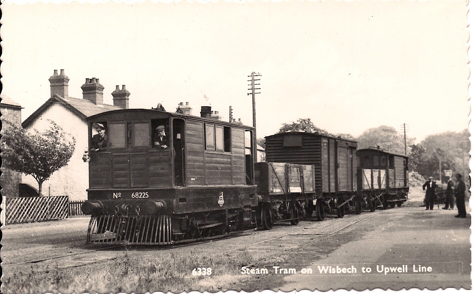
Wisbech and Upwell Tramway
The Wisbech and Upwell Tramway was a rural standard gauge tramway in East Anglia. It was built by the Great Eastern Railway between Wisbech, Isle of Ely...

Elmbridge railway station
Elmbridge railway station was a stop on the Wisbech and Upwell Tramway. It was in a projection of the parish of Emneth, Norfolk but was immediately south...

Wisbech East railway station
Wisbech East was a railway station in Wisbech, Cambridgeshire. It was opened in 1848 and became part of the Great Eastern Railway network, providing connections...
Nearby Amenities
Located within 500m of 52.635341,0.150146Have you been to Begdale?
Leave your review of Begdale below (or comments, questions and feedback).