Towpath

Settlement in Middlesex Spelthorne

England

Towpath

Shepperton Lock
Shepperton Lock Credit: Alex McGregor

Towpath is a charming village located in the county of Middlesex, England. Situated along the banks of the picturesque River Thames, Towpath is known for its idyllic setting and rich history. With a population of approximately 1,500 residents, the village offers a peaceful and close-knit community atmosphere.

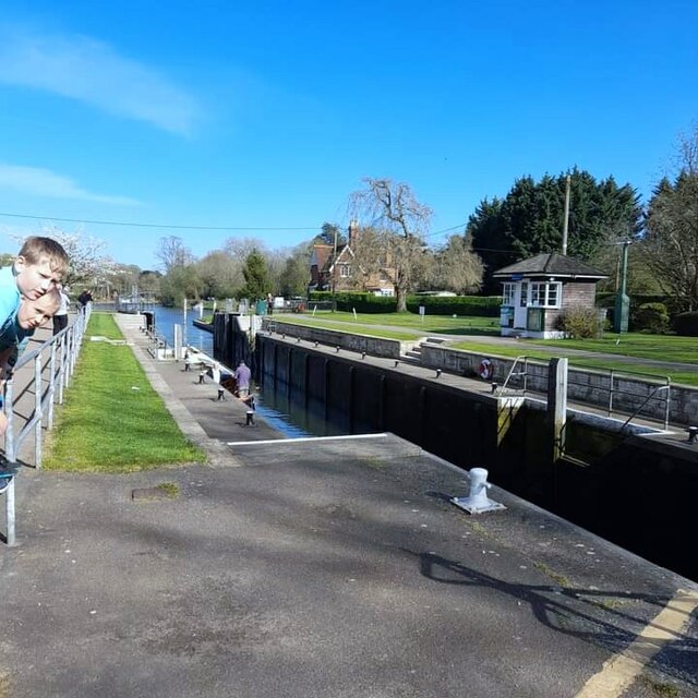
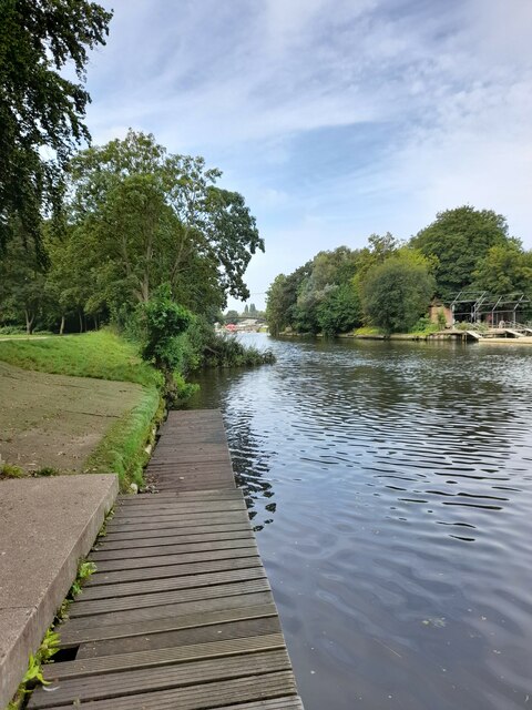
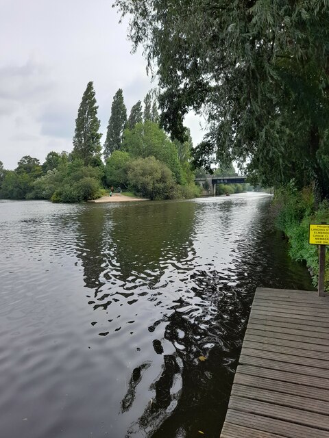
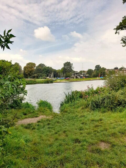
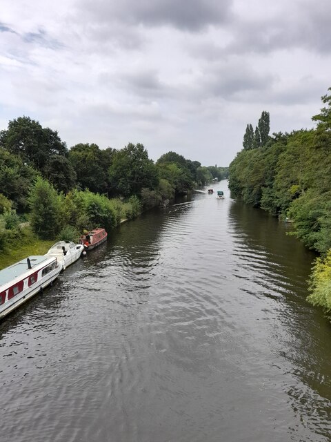
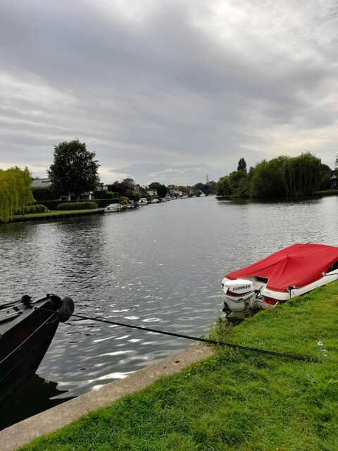
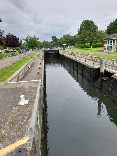
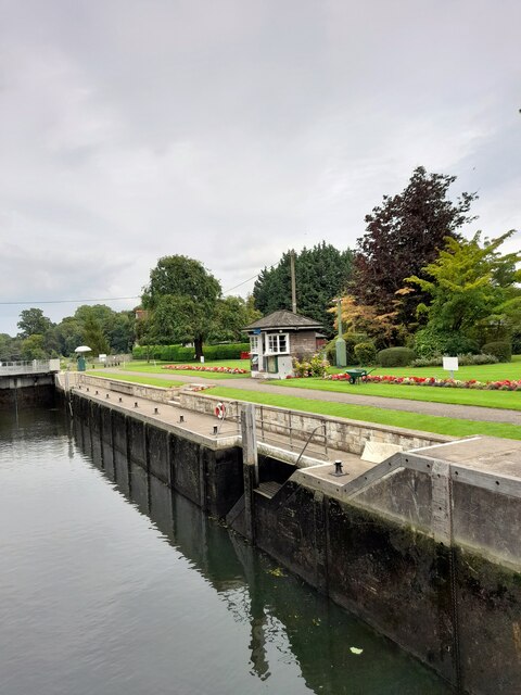
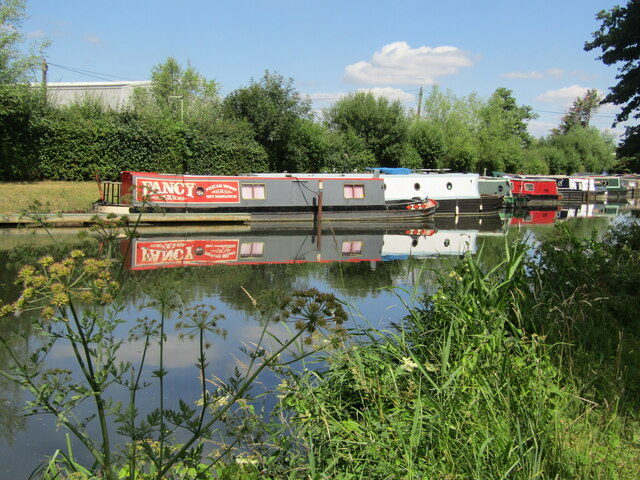
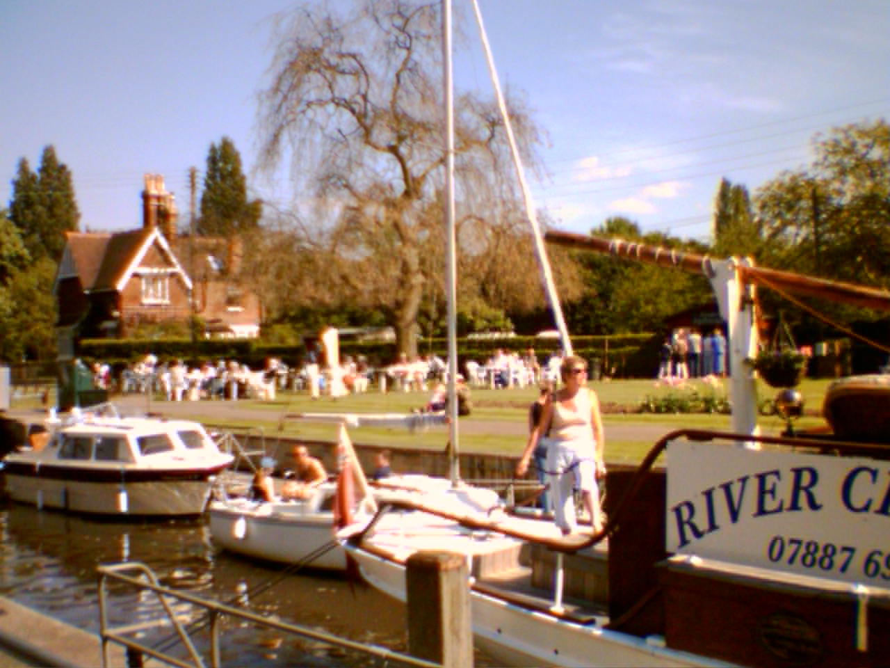
One of the standout features of Towpath is its historic towpath, which was once utilized by horses pulling barges along the river. Today, the towpath serves as a popular recreational spot for locals and visitors alike. Walking or cycling along the towpath provides stunning views of the river and surrounding countryside.

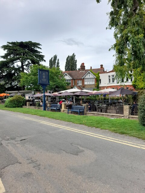
The village itself is characterized by a mix of architectural styles, reflecting its long history. Traditional thatched cottages can be found alongside more modern buildings, creating a unique blend of old and new. The village center is home to a variety of independent shops, cafes, and pubs, catering to the needs of residents and tourists.

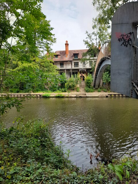
Towpath also boasts several notable landmarks, including the historic St. Mary's Church, which dates back to the 12th century. The church is a focal point for the community, hosting regular services and community events. Additionally, the village is home to several well-preserved historic bridges, adding to its charm and character.

In terms of amenities, Towpath offers excellent educational facilities, with a primary school and a secondary school within easy reach. The village also benefits from good transport links, with a nearby train station providing access to central London and other major cities.

Overall, Towpath is a picturesque village that combines natural beauty, a strong sense of community, and a rich historical heritage, making it an attractive place to live or visit.

If you have any feedback on the listing, please let us know in the comments section below.
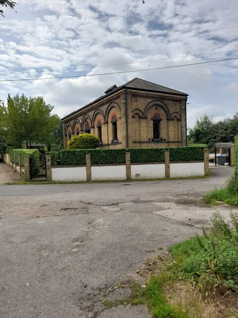
Towpath Images

Images are sourced within 2km of 51.383138/-0.46544169 or Grid Reference TQ0666. Thanks to Geograph Open Source API. All images are credited.

Shepperton Lock
Shepperton Lock
Convent Lane
Convent Lane
Convent Lane
Convent Lane
Elmbridge Canoe Club
River Thames
River Thames
River Thames
River Thames
D'Oyly Carte
D'Oyly Carte
Desborough Sailing Club
Desborough Water Works
River Thames
River Thames
The Thames Court
The Thames Court
River Thames
River Thames
Shepperton Lock
Shepperton Lock
Shepperton Lock
Shepperton Lock
Farmland next to Walton Lane Fields between the River Thames and Oatlands Park Hotel.
Farmland next to Walton Lane
Fields between the River Thames and Oatlands Park Hotel.
Entrance to Bates Wharf The entrance to Bates Wharf Marina, looking across the River Thames from a convenient bench
Entrance to Bates Wharf
The entrance to Bates Wharf Marina, looking across the River Thames from a convenient bench
Addlestone - Coxes Mill Mill on the River Wey Navigation, first built 1776, rebuilt 1901, finally closed 1983. It has been an iron mill, silk mill and a flour mill before being converted to residential use.
<span class="nowrap"><a title="www.weyriver.co.uk" rel="nofollow ugc noopener" href="http://www.weyriver.co.uk">Link</a><img style="margin-left:2px;" alt="External link" title="External link - shift click to open in new window" src="https://s1.geograph.org.uk/img/external.png" width="10" height="10"/></span>
Addlestone - Coxes Mill
Mill on the River Wey Navigation, first built 1776, rebuilt 1901, finally closed 1983. It has been an iron mill, silk mill and a flour mill before being converted to residential use. LinkExternal link
Addlestone - River Wey Navigation Narrowboats moored at Hamm Moor, south of Weybridge.
<span class="nowrap"><a title="www.weyriver.co.uk" rel="nofollow ugc noopener" href="http://www.weyriver.co.uk">Link</a><img style="margin-left:2px;" alt="External link" title="External link - shift click to open in new window" src="https://s1.geograph.org.uk/img/external.png" width="10" height="10"/></span>
Addlestone - River Wey Navigation
Narrowboats moored at Hamm Moor, south of Weybridge. LinkExternal link
Show me another place!

Towpath is located at Grid Ref: TQ0666 (Lat: 51.383138, Lng: -0.46544169)

Administrative County: Surrey

District: Spelthorne

Police Authority: Surrey

What 3 Words

///behind.length.hogs. Near Weybridge, Surrey

Related Wikis

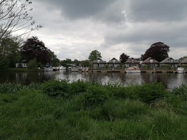
Pharaoh's Island, River Thames

Pharaoh's Island is an island in the River Thames, in Surrey, England, 270 m (300 yd) upstream of Shepperton Lock. == Overview == The island has a length...

Hamhaugh Island

Hamhaugh Island is an island, historically known simply as Stadbury, in the River Thames in England south of Shepperton Lock, in Shepperton, Surrey....

Shepperton Lock

Shepperton Lock is a lock on the River Thames, in England by the left bank at Shepperton, Surrey. It is across the river from Weybridge which is nearby...

Lock Island

Lock Island is an island in the River Thames in England connected to Shepperton Lock, near Shepperton. Facing the attached by lock-gate bridge mainland...

Nearby Amenities

Located within 500m of 51.383138,-0.46544169
Post Box
Operator: Royal Mail
Post Box Type: pillar
Ref: TW17 317D
Royal Cypher: EIIR
Royal Cypher Wikidata: Q33102113
Lat/Long: 51.3821639/-0.4591278
Restaurant
Lat/Long: 51.3827982/-0.4616602
Hamm Court
Place: hamlet
Lat/Long: 51.3798835/-0.4651175
Turning Circle
Lat/Long: 51.3832105/-0.4726475
Bench
Backrest: yes
Lat/Long: 51.3858915/-0.4697202
Bench
Backrest: yes
Lat/Long: 51.3855856/-0.4695914
Turning Circle
Lat/Long: 51.3855337/-0.4711934
Power: pole
Lat/Long: 51.3808531/-0.4713097
Power: pole
Lat/Long: 51.3802914/-0.4678188
Power: pole
Lat/Long: 51.3805568/-0.4694751
Power: pole
Lat/Long: 51.3815997/-0.4721265
Barrier: entrance
Lat/Long: 51.3802842/-0.4703061
Toilets
Lat/Long: 51.3821896/-0.4586972
Bench
Backrest: yes
Lat/Long: 51.3824635/-0.4617074
Bench
Backrest: yes
Lat/Long: 51.3826058/-0.4621084
Bench
Backrest: yes
Lat/Long: 51.3825405/-0.4619126
Bench
Backrest: yes
Lat/Long: 51.3831817/-0.4649314
Bench
Backrest: yes
Lat/Long: 51.3848992/-0.4694362
Bench
Backrest: yes
Lat/Long: 51.3849879/-0.4694402
Bench
Backrest: yes
Lat/Long: 51.3852063/-0.4694644
Bench
Backrest: yes
Lat/Long: 51.3821999/-0.4584224
Bench
Backrest: yes
Lat/Long: 51.3821802/-0.4585404
Bench
Backrest: yes
Lat/Long: 51.382163/-0.458637
Bench
Backrest: yes
Lat/Long: 51.3821383/-0.4587905
Bench
Backrest: yes
Lat/Long: 51.3821748/-0.459044
Bench
Backrest: yes
Lat/Long: 51.3821522/-0.4592063
Bench
Backrest: yes
Lat/Long: 51.3821471/-0.4592465
Bench
Backrest: yes
Lat/Long: 51.3821388/-0.4592867
Waterway: sanitary_dump_station
Lat/Long: 51.3821639/-0.458894
Defibrillator
Defibrillator Location: On shed wall
Emergency: defibrillator
Indoor: no
Not Ref GB The Circuit: 656AAC14-10CE-4765-AA36-ADD3013273C0
Lat/Long: 51.3800208/-0.4609987
The data included in this document is from www.openstreetmap.org. The data is made available under ODbL.

Have you been to Towpath?

Leave your review of Towpath below (or comments, questions and feedback).