Chertsey Meads

Settlement in Surrey Runnymede

England

Chertsey Meads

Shepperton Lock
Shepperton Lock Credit: Alex McGregor

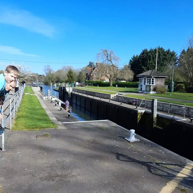
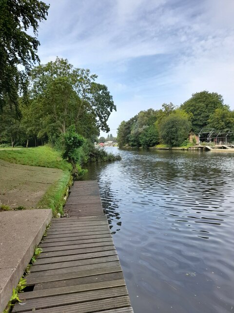
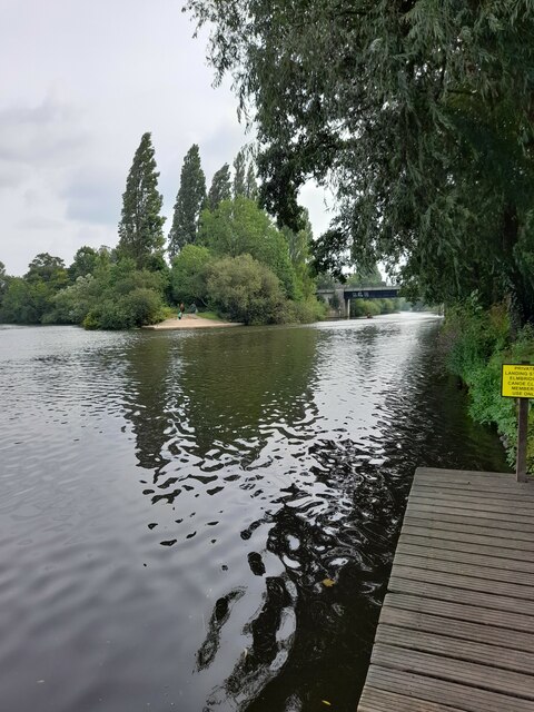
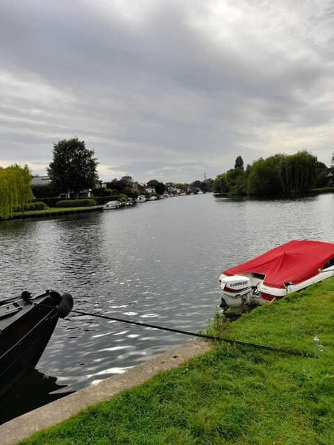
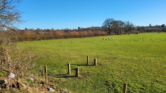
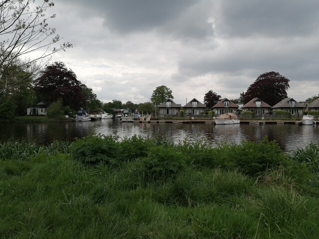
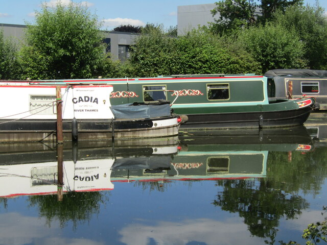
Chertsey Meads is a picturesque area located in Surrey, England. Situated on the banks of the River Thames, it is a popular destination for nature lovers and outdoor enthusiasts. Spanning approximately 400 acres, Chertsey Meads is a designated nature reserve, managed by the Surrey Wildlife Trust.

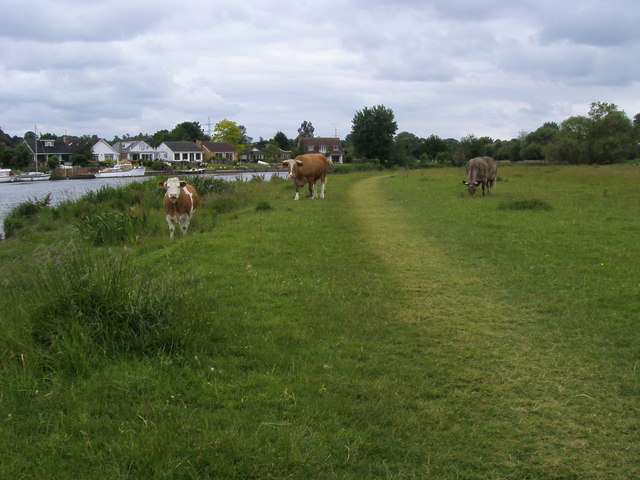
The meads boast a diverse range of habitats, including wetlands, grasslands, and woodlands, making it a haven for wildlife. Visitors can often spot a variety of bird species, including herons, kingfishers, and swans, as well as mammals such as otters and water voles. The area is also home to numerous rare plant species, adding to its ecological significance.

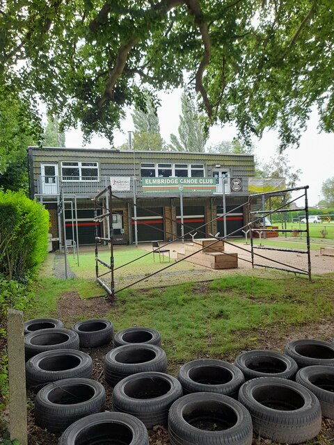
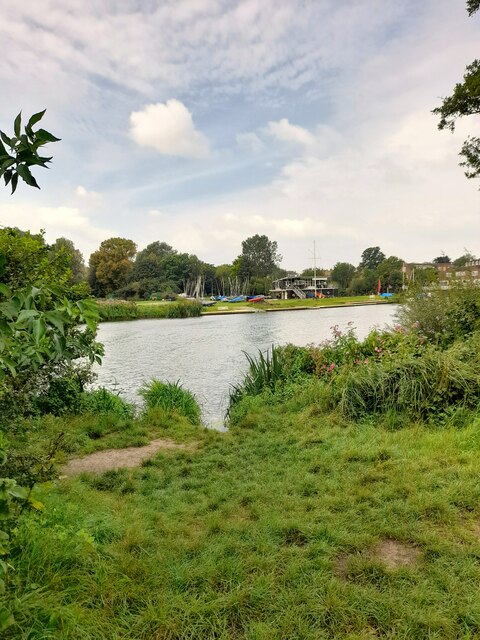
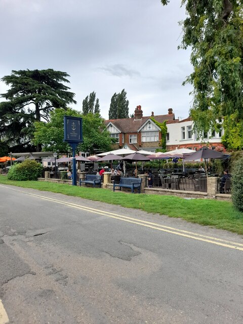
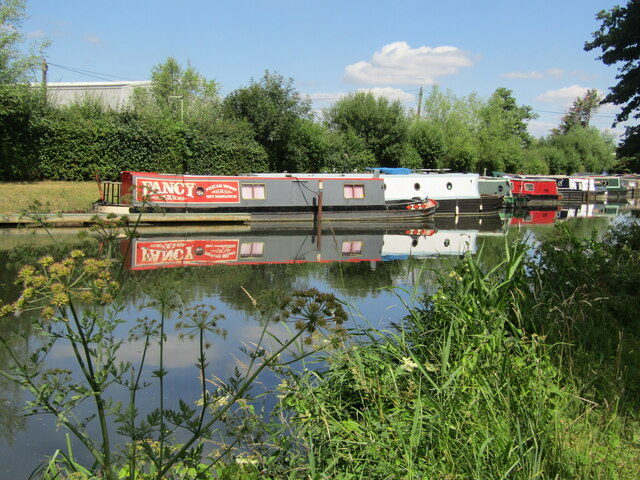
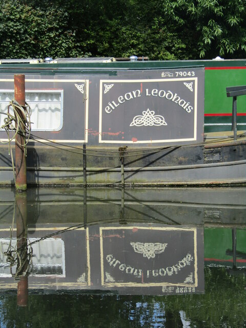
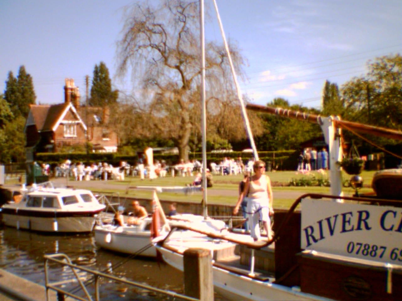
The meads offer a range of recreational activities, making it a great place for a day out. Walking and cycling trails crisscross the reserve, allowing visitors to explore its natural beauty at their own pace. Anglers can also enjoy fishing in the River Thames, with the meads being a popular spot for catching pike and perch.

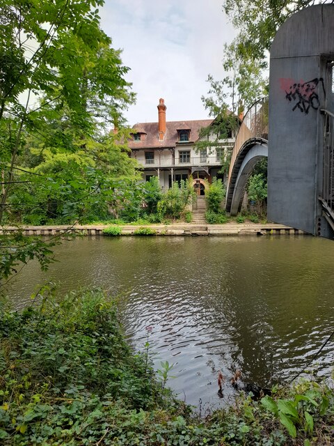
Additionally, Chertsey Meads is a historical site, with evidence of human activity dating back to the Bronze Age. The area was once a royal hunting ground, and remnants of an ancient weir can still be seen today.

To cater to visitors, there are facilities such as a visitor center, picnic areas, and ample parking. Chertsey Meads truly offers a tranquil escape from the hustle and bustle of everyday life, allowing visitors to immerse themselves in nature and enjoy the beauty of this Surrey gem.

If you have any feedback on the listing, please let us know in the comments section below.

Chertsey Meads Images

Images are sourced within 2km of 51.385578/-0.47189902 or Grid Reference TQ0666. Thanks to Geograph Open Source API. All images are credited.

Shepperton Lock
Shepperton Lock
Convent Lane
Convent Lane
Convent Lane
Convent Lane
Elmbridge Canoe Club
River Thames
River Thames
River Thames
River Thames
D'Oyly Carte
D'Oyly Carte
Desborough Sailing Club
The Thames Court
The Thames Court
River Thames
River Thames
Shepperton Lock
Shepperton Lock
Shepperton Lock
Shepperton Lock
Farmland next to Walton Lane Fields between the River Thames and Oatlands Park Hotel.
Farmland next to Walton Lane
Fields between the River Thames and Oatlands Park Hotel.
Entrance to Bates Wharf The entrance to Bates Wharf Marina, looking across the River Thames from a convenient bench
Entrance to Bates Wharf
The entrance to Bates Wharf Marina, looking across the River Thames from a convenient bench
Addlestone - River Wey Navigation Narrowboats moored at Hamm Moor, south of Weybridge.
<span class="nowrap"><a title="www.weyriver.co.uk" rel="nofollow ugc noopener" href="http://www.weyriver.co.uk">Link</a><img style="margin-left:2px;" alt="External link" title="External link - shift click to open in new window" src="https://s1.geograph.org.uk/img/external.png" width="10" height="10"/></span>
Addlestone - River Wey Navigation
Narrowboats moored at Hamm Moor, south of Weybridge. LinkExternal link
Addlestone - Fancy Narrowboat "Fancy" moored at Pelican Wharf on the River Wey Navigation south of Weybridge.
<span class="nowrap"><a title="www.weyriver.co.uk" rel="nofollow ugc noopener" href="http://www.weyriver.co.uk">Link</a><img style="margin-left:2px;" alt="External link" title="External link - shift click to open in new window" src="https://s1.geograph.org.uk/img/external.png" width="10" height="10"/></span>
Addlestone - Fancy
Narrowboat "Fancy" moored at Pelican Wharf on the River Wey Navigation south of Weybridge. LinkExternal link
Addlestone - Pelican Wharf Narrowboat "Cadia" and others moored at Hamm Moor on the River Wey Navigation.
<span class="nowrap"><a title="www.weyriver.co.uk" rel="nofollow ugc noopener" href="http://www.weyriver.co.uk">Link</a><img style="margin-left:2px;" alt="External link" title="External link - shift click to open in new window" src="https://s1.geograph.org.uk/img/external.png" width="10" height="10"/></span>
Addlestone - Pelican Wharf
Narrowboat "Cadia" and others moored at Hamm Moor on the River Wey Navigation. LinkExternal link
Addlestone - Eilean Leodhais Narrowboat "Eilean Leodhais" moored at Pelican Wharf, Hamm Moor, on the River Wey Navigation is a long way from the Isle of Lewis.
Addlestone - Eilean Leodhais
Narrowboat "Eilean Leodhais" moored at Pelican Wharf, Hamm Moor, on the River Wey Navigation is a long way from the Isle of Lewis.
Show me another place!

Chertsey Meads is located at Grid Ref: TQ0666 (Lat: 51.385578, Lng: -0.47189902)

Administrative County: Surrey

District: Runnymede

Police Authority: Surrey

What 3 Words

///visit.paint.cracks. Near Weybridge, Surrey

Related Wikis

Chertsey Meads

Chertsey Meads is a 41-hectare (100-acre) Local Nature Reserve east of Chertsey in Surrey. It is owned and managed by Runnymede Borough Council.This is...

River Bourne, Chertsey

The River Bourne or the Chertsey Bourne is in Berkshire and Surrey; it runs from sources in Windsor Great Park and Swinley Forest through to the River...

Pharaoh's Island, River Thames

Pharaoh's Island is an island in the River Thames, in Surrey, England, 270 m (300 yd) upstream of Shepperton Lock. == Overview == The island has a length...

Dumsey Meadow

Dumsey Meadow is a 9.6-hectare (24-acre) biological Site of Special Scientific Interest between Chertsey and Shepperton in Surrey.It is the only piece...

Shepperton

Shepperton is a village in north Surrey, England, around 15 mi (24 km) south west of central London. On the north bank of the River Thames, the settlement...

River Bourne, Addlestone

The River Bourne is the name given to a Thames tributary in northwest Surrey, England which has a longer tributary, the Windle Brook, that rises nears...

Hamhaugh Island

Hamhaugh Island is an island, historically known simply as Stadbury, in the River Thames in England south of Shepperton Lock, in Shepperton, Surrey....
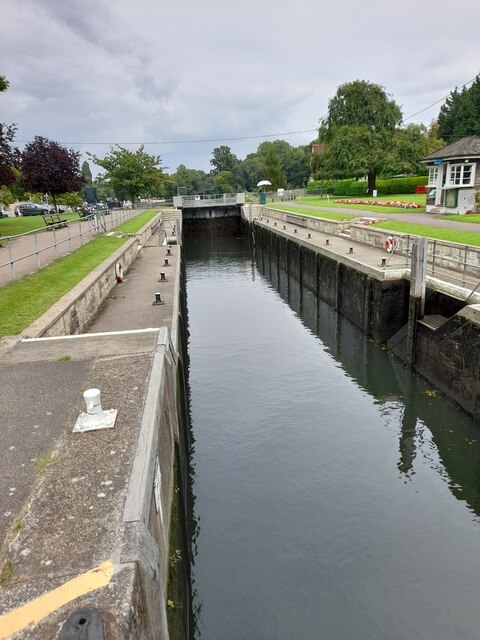
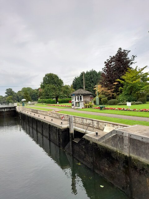
Shepperton Lock

Shepperton Lock is a lock on the River Thames, in England by the left bank at Shepperton, Surrey. It is across the river from Weybridge which is nearby...

Nearby Amenities

Located within 500m of 51.385578,-0.47189902
HB
Created By: xybot
Source: GPS waypoint
Lat/Long: 51.389198/-0.474268
Power: tower
Ref: ZC129
Lat/Long: 51.3878141/-0.4741417
Power: tower
Lat/Long: 51.3840464/-0.4736321
Power: tower
Lat/Long: 51.3869643/-0.4784763
Power: tower
Lat/Long: 51.3845272/-0.4769313
Power: tower
Lat/Long: 51.3820684/-0.4753864
Passing Place
Lat/Long: 51.3842406/-0.4770774
Passing Place
Lat/Long: 51.3842645/-0.475772
Turning Circle
Lat/Long: 51.3875764/-0.4731875
Barrier: stile
Source: survey
Lat/Long: 51.3831068/-0.4728552
Turning Circle
Lat/Long: 51.3832105/-0.4726475
The Range
Addr City: Shepperton
Addr Housename: The Range
Addr Postcode: TW17 9NT
Addr Street: Dockett Eddy Lane
Lat/Long: 51.3874257/-0.4701409
Bench
Backrest: yes
Lat/Long: 51.3858915/-0.4697202
Bench
Backrest: yes
Lat/Long: 51.3855856/-0.4695914
Turning Circle
Lat/Long: 51.3855337/-0.4711934
Information: route_marker
Source: GPS survey
Tourism: information
Lat/Long: 51.3840697/-0.4778945
Power: pole
Lat/Long: 51.3864366/-0.4720514
Power: pole
Lat/Long: 51.384325/-0.4730719
Passing Place
Lat/Long: 51.3843087/-0.4742239
Hiking: yes
Information: route_marker
Source: GPS survey
Tourism: information
Lat/Long: 51.3830913/-0.4729767
Power: pole
Transformer: yes
Lat/Long: 51.3831576/-0.4729506
Power: pole
Lat/Long: 51.3822643/-0.4728359
Power: pole
Lat/Long: 51.3815997/-0.4721265
Life Ring
Emergency: life_ring
Lat/Long: 51.3892026/-0.4754283
Life Ring
Emergency: life_ring
Lat/Long: 51.3880318/-0.4735373
Bench
Backrest: yes
Lat/Long: 51.3894537/-0.4746155
Bench
Backrest: yes
Lat/Long: 51.3848992/-0.4694362
Bench
Backrest: yes
Lat/Long: 51.3849879/-0.4694402
Bench
Backrest: yes
Lat/Long: 51.3852063/-0.4694644
The data included in this document is from www.openstreetmap.org. The data is made available under ODbL.

Have you been to Chertsey Meads?

Leave your review of Chertsey Meads below (or comments, questions and feedback).