Tilney All Saints

Settlement in Norfolk King's Lynn and West Norfolk

England

Tilney All Saints

The Driving Range The driving range at The Eagles Golf Centre.
The Driving Range Credit: Tony Bennett

Tilney All Saints is a village located in the county of Norfolk, in the eastern part of England. Situated approximately 6 miles west of the town of King's Lynn, it falls under the King's Lynn and West Norfolk district. The village is positioned on the A47 road, which connects it to neighboring towns and cities.

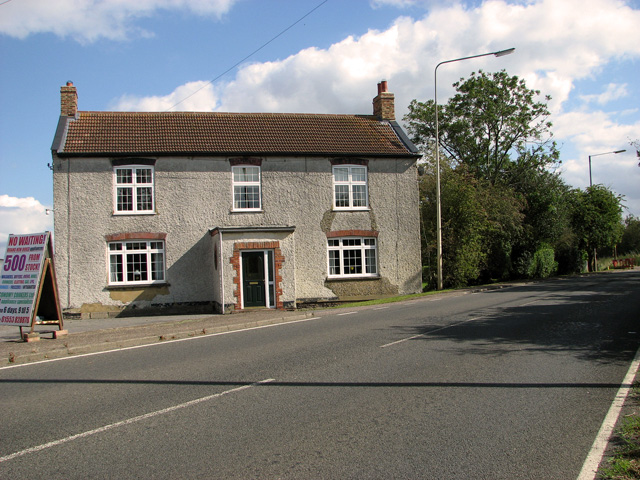
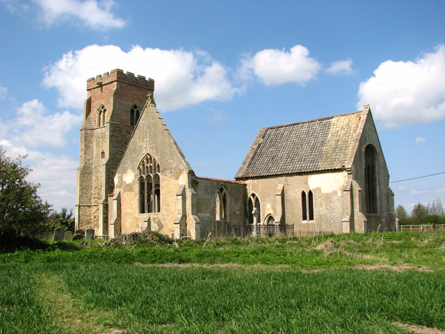
With a population of around 800 residents, Tilney All Saints is a small and close-knit community. The village features a range of amenities to cater to its residents' needs, including a local primary school, a church, and a village hall which serves as a hub for various community activities.

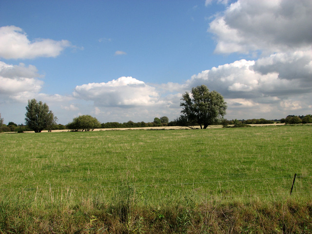
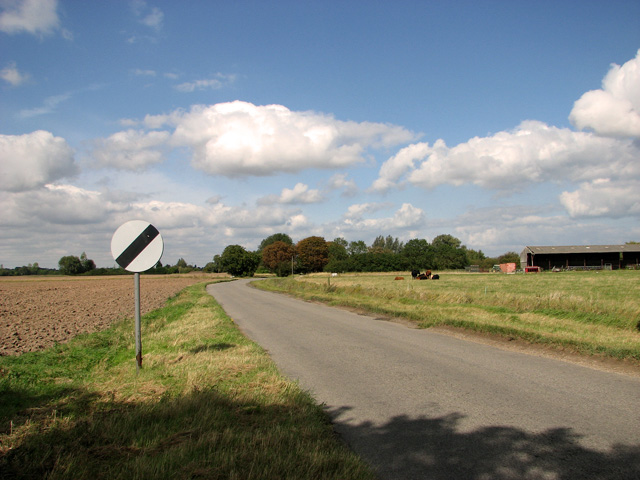
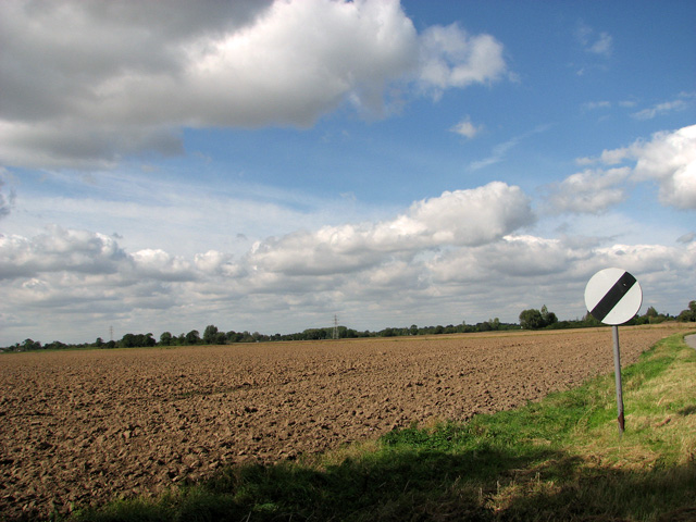
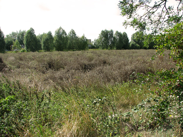
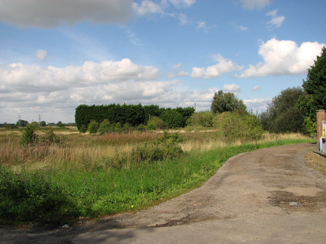
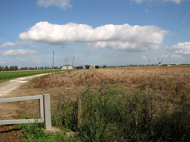
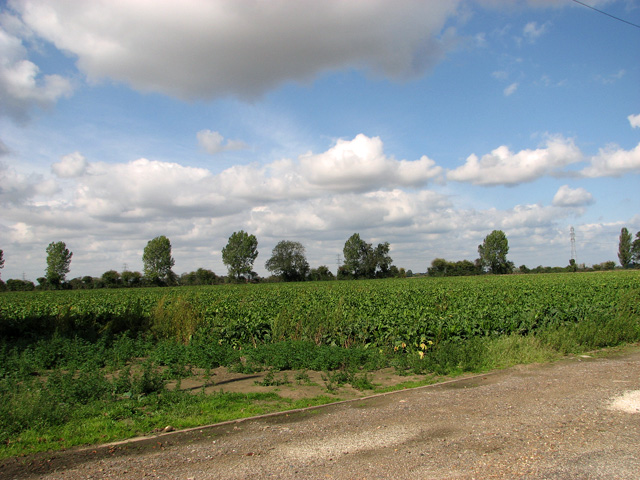
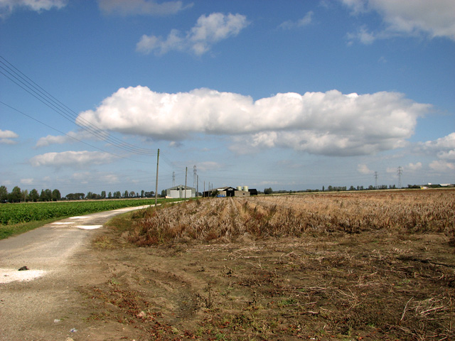
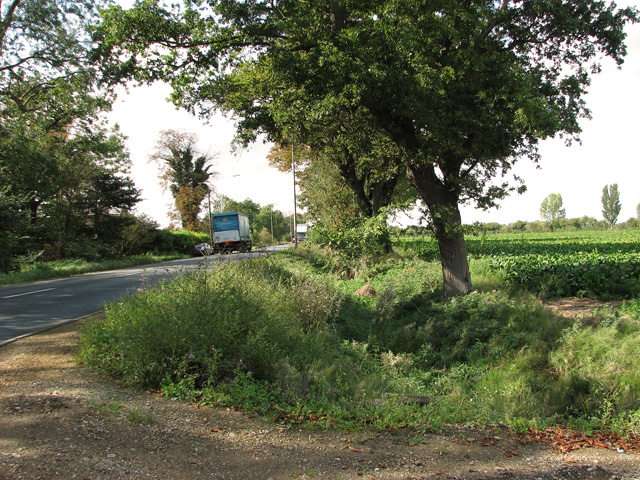
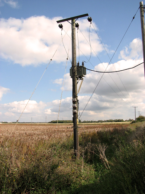
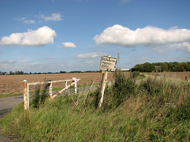
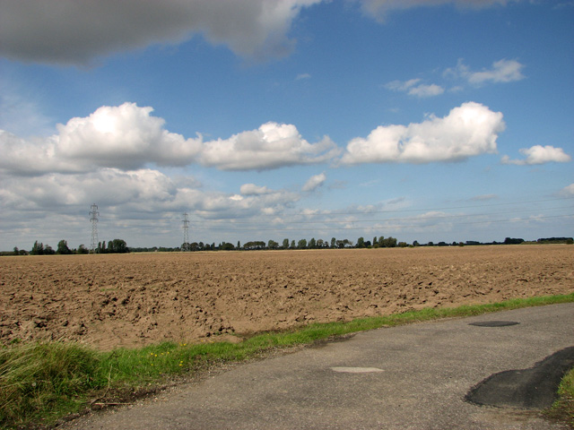
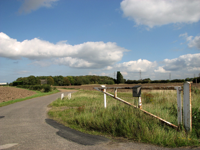
The area surrounding Tilney All Saints is predominantly rural, characterized by picturesque countryside and farmland. The village is known for its beautiful natural landscapes, with opportunities for outdoor activities such as walking and cycling.

Historically, Tilney All Saints was an agricultural community, and while farming still plays a role in the local economy, residents are now employed in a variety of sectors. Many residents commute to nearby towns and cities for work, while others are engaged in small businesses or are self-employed.

Overall, Tilney All Saints offers a peaceful and idyllic lifestyle, with its charming rural setting and strong sense of community. It provides a welcoming environment for residents and visitors alike, with its range of amenities and proximity to larger towns for additional services and entertainment.

If you have any feedback on the listing, please let us know in the comments section below.

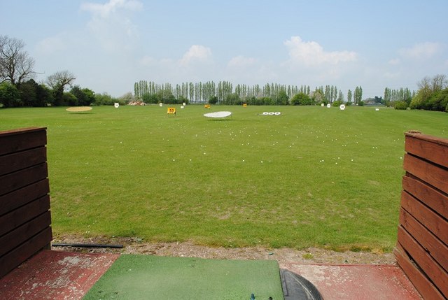
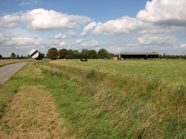
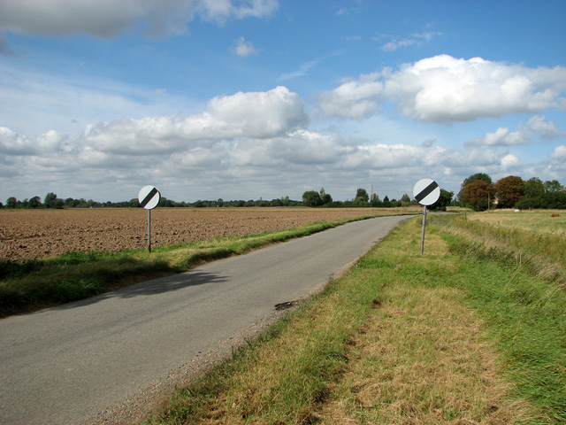
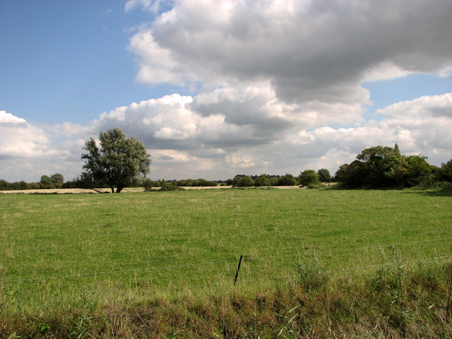
Tilney All Saints Images

Images are sourced within 2km of 52.73762/0.3208792 or Grid Reference TF5618. Thanks to Geograph Open Source API. All images are credited.

The Driving Range The driving range at The Eagles Golf Centre.
The Driving Range
The driving range at The Eagles Golf Centre.
Pasture and farm shed, Tilney All Saints
Lane past First Frith Field, Tilney All Saints
Pasture by Church Farm, Tilney All Saints
Pasture north of Tilney All Saints
Lane north of Tilney All Saints
View across First Frith Field, Tilney All Saints
Shore Boat Inn Farm, Tilney High End The farm and plant nursery is situated on the old A47 road.
Shore Boat Inn Farm, Tilney High End
The farm and plant nursery is situated on the old A47 road.
Overgrown meadow between the old and the new A47 roads
Farmland at Tilney High End
Harvested fields in the fens north of Pullover Road (A47)
Sugar beet crop north of Pullover Road (A47)
Driveway to farm sheds, Pullover Road (A47)
To Tilney High End on Pullover Road (A47)
Transformer beside Pullover Road (A47)
The gate to Fairfield, Tilney All Saints
Cultivated fields north of Pullover Road, Tilney All Saints
Driveway to Fairfield, Tilney All Saints
Show me another place!

Tilney All Saints is located at Grid Ref: TF5618 (Lat: 52.73762, Lng: 0.3208792)

Administrative County: Norfolk

District: King's Lynn and West Norfolk

Police Authority: Norfolk

What 3 Words

///tricks.train.corrode. Near Terrington St Clement, Norfolk

Related Wikis

Tilney All Saints

Tilney All Saints is a civil parish in the English county of Norfolk. It covers an area of 11.56 km2 (4.46 sq mi) and had a population of 563 in 230 households...

Clenchwarton railway station

Clenchwarton Railway Station is a former train station in Clenchwarton, Norfolk. It was part of the Midland and Great Northern Joint Railway line from...

St Mary's Church, Islington, Norfolk

St Mary's Church is a ruined redundant Anglican church in the civil parish of Tilney St Lawrence, Norfolk, England. It is recorded in the National Heritage...

Terrington railway station

Terrington railway station is a former station in Terrington St Clement, Norfolk. It opened in 1866 and was closed in 1959. It was on the Midland and Great...

Nearby Amenities

Located within 500m of 52.73762,0.3208792
Church Lane, adj
Naptan AtcoCode: 2900T2114
Naptan Bearing: S
Naptan BusStopType: CUS
Naptan CommonName: Church Lane
Naptan Indicator: adj
Naptan Landmark: Church Lane
Naptan Locality: Tilney All Saints
Naptan NaptanCode: nfogajdg
Naptan Street: Church Road
Naptan Verified: no
Source: naptan_import
Lat/Long: 52.7342116/0.31884
Church Lane, opp
Naptan AtcoCode: 2900T2115
Naptan Bearing: N
Naptan BusStopType: CUS
Naptan CommonName: Church Lane
Naptan Indicator: opp
Naptan Landmark: Church Lane
Naptan Locality: Tilney All Saints
Naptan NaptanCode: nfogajdj
Naptan Street: Church Road
Naptan Verified: no
Source: naptan_import
Lat/Long: 52.7343562/0.3188032
Bus Stop
Glebe Estate, adj
Naptan AtcoCode: 2900T212
Naptan Bearing: S
Naptan CommonName: Glebe Estate
Naptan Indicator: adj
Naptan Landmark: Glebe Estate
Naptan Locality: Tilney All Saints
Naptan NaptanCode: nfogajdt
Naptan Street: Church Road
Naptan Verified: no
Source: naptan_import
Lat/Long: 52.7382097/0.3208448
Glebe Estate, opp
Naptan AtcoCode: 2900T219
Naptan Bearing: N
Naptan BusStopType: CUS
Naptan CommonName: Glebe Estate
Naptan Indicator: opp
Naptan Landmark: Glebe Estate
Naptan Locality: Tilney All Saints
Naptan NaptanCode: nfogajgj
Naptan Street: Church Road
Naptan Verified: no
Source: naptan_import
Lat/Long: 52.7381665/0.3207537
Power: tower
Lat/Long: 52.7333812/0.3188608
Power: tower
Lat/Long: 52.7334462/0.3230021
Power: tower
Lat/Long: 52.733888/0.3229592
Turning Circle
Lat/Long: 52.7385685/0.3232276
Give Way
Direction: backward
Lat/Long: 52.7340796/0.3186879
Give Way
Lat/Long: 52.7416508/0.3185635
Tilney All Saints
Man Made: village_sign
Lat/Long: 52.7367133/0.321031
Tilney All Saints
Place: village
Lat/Long: 52.7371438/0.3211698
Entrance: yes
Lat/Long: 52.736655/0.3211962
Church Farm
Place: farm
Lat/Long: 52.7384233/0.3199656
Farm Barn
Place: farm
Lat/Long: 52.738979/0.3204743
Orchard Cottage
Place: isolated_dwelling
Lat/Long: 52.7338344/0.3177072
Fixme: Public Footpath continues WSW
Lat/Long: 52.7377907/0.3189389
Power: pole
Lat/Long: 52.7338645/0.3204811
Entrance: yes
Lat/Long: 52.736722/0.3215405
TilneyAll Saints
Alt Name: Tilney All Saints
Man Made: village_sign
Material: metal
Lat/Long: 52.7368349/0.3211007
Entrance: main
Lat/Long: 52.7365539/0.3215362
Power: pole
Lat/Long: 52.7343103/0.3201579
Power: pole
Transformer: distribution
Lat/Long: 52.7343947/0.3187564
Power: pole
Lat/Long: 52.734463/0.316675
Give Way
Direction: backward
Lat/Long: 52.7343105/0.3188688
Give Way
Direction: forward
Lat/Long: 52.7341084/0.3190622
Give Way
Lat/Long: 52.7415402/0.3185204
The data included in this document is from www.openstreetmap.org. The data is made available under ODbL.

Have you been to Tilney All Saints?

Leave your review of Tilney All Saints below (or comments, questions and feedback).