First Frith Field
Downs, Moorland in Norfolk King's Lynn and West Norfolk
England
First Frith Field
The requested URL returned error: 429 Too Many Requests
If you have any feedback on the listing, please let us know in the comments section below.
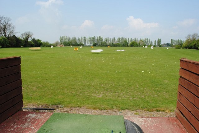
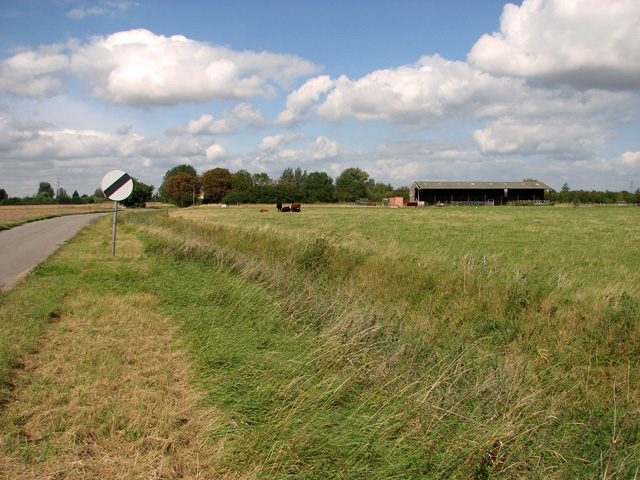
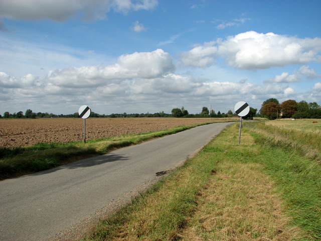
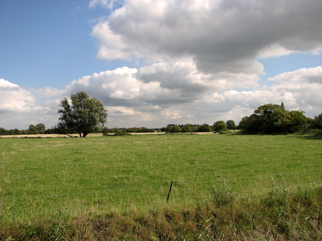
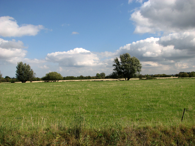
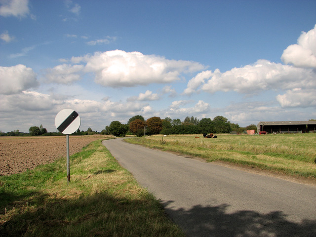
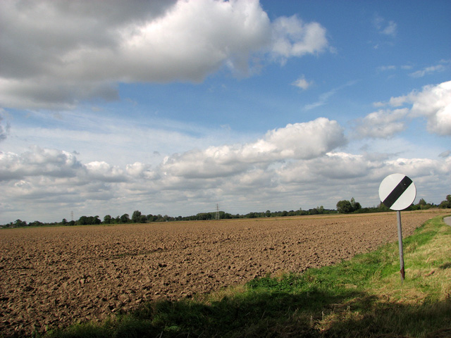
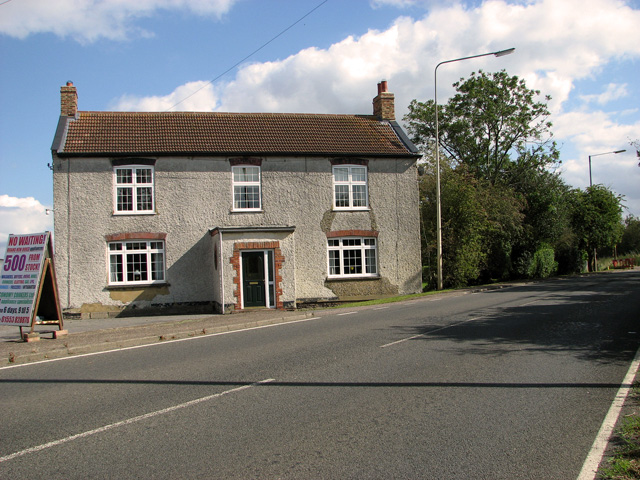
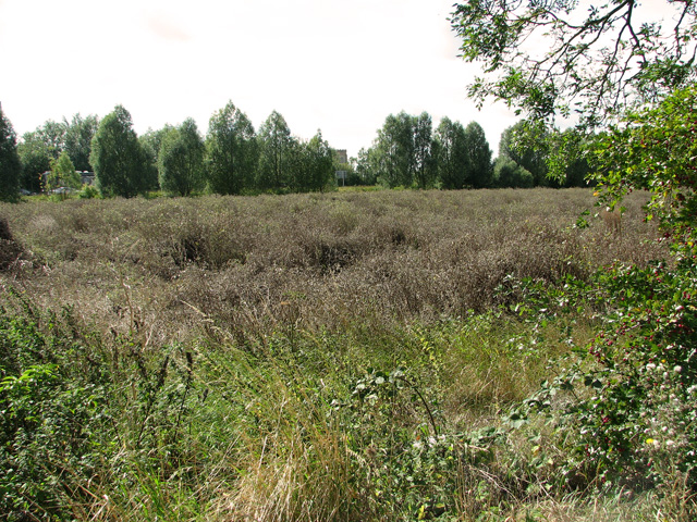
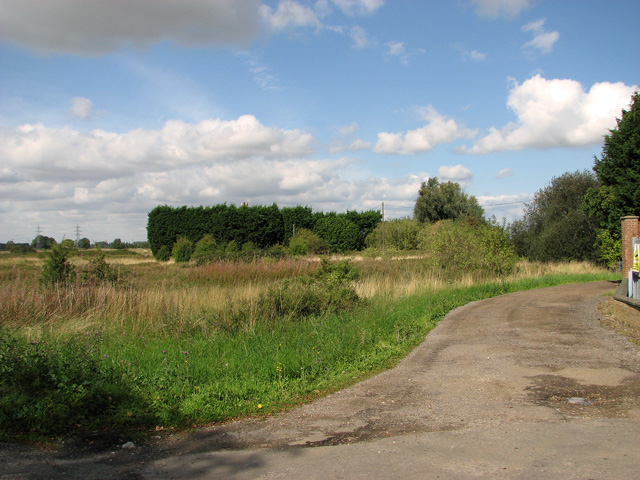
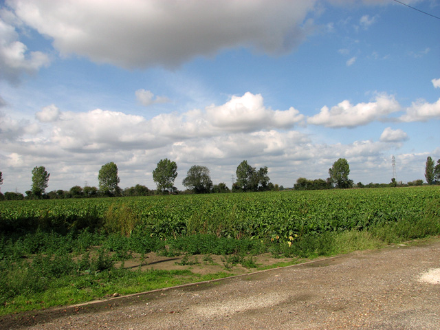
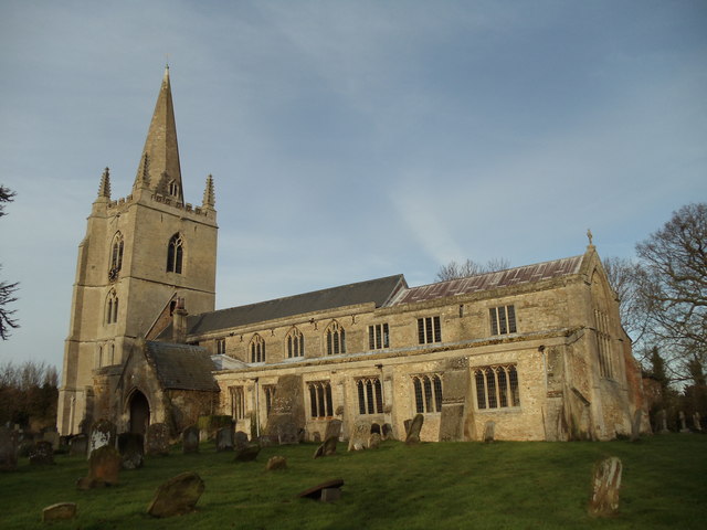
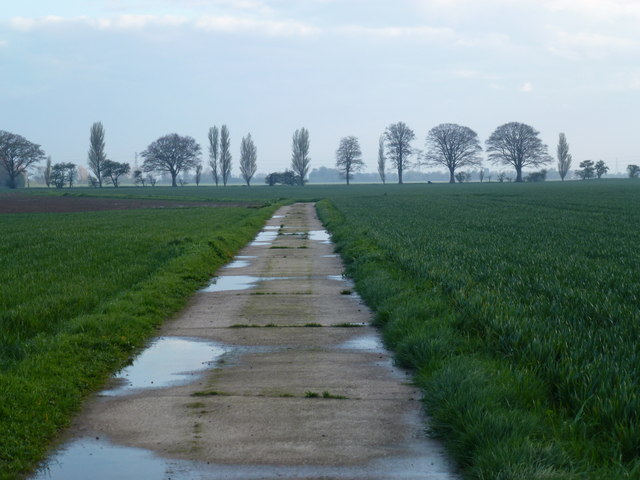
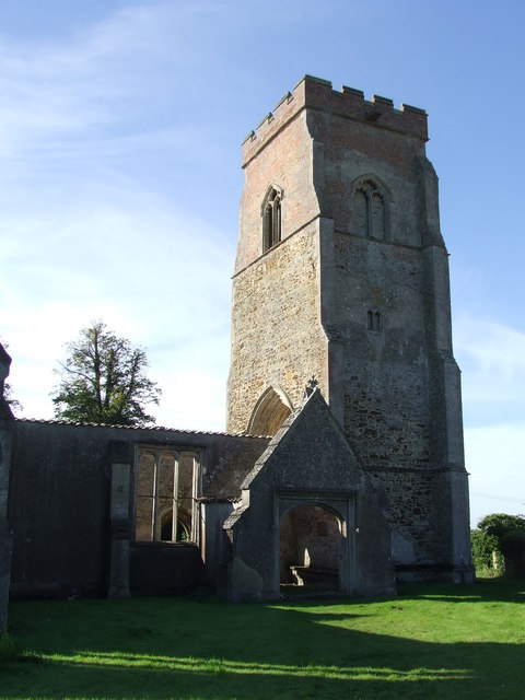
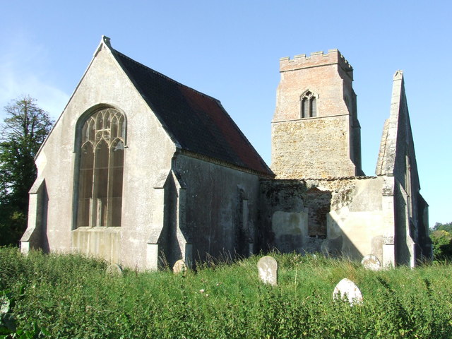
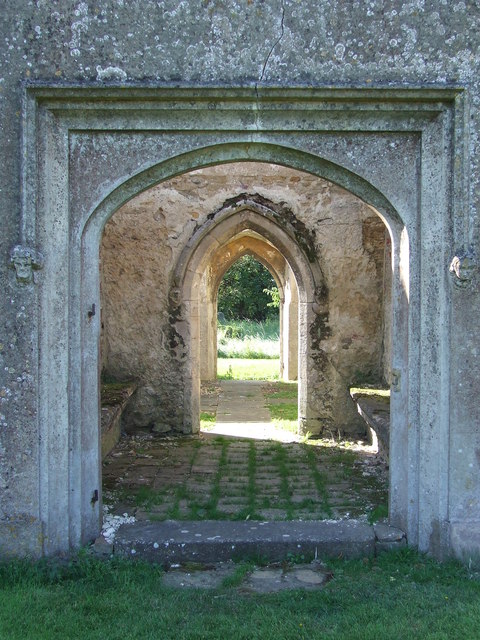
First Frith Field Images
Images are sourced within 2km of 52.739968/0.31252993 or Grid Reference TF5618. Thanks to Geograph Open Source API. All images are credited.
First Frith Field is located at Grid Ref: TF5618 (Lat: 52.739968, Lng: 0.31252993)
Administrative County: Norfolk
District: King's Lynn and West Norfolk
Police Authority: Norfolk
What 3 Words
///famed.huddled.cooked. Near Terrington St Clement, Norfolk
Nearby Locations
Related Wikis

Tilney All Saints
Tilney All Saints is a civil parish in the English county of Norfolk. It covers an area of 11.56 km2 (4.46 sq mi) and had a population of 563 in 230 households...

Clenchwarton railway station
Clenchwarton Railway Station is a former train station in Clenchwarton, Norfolk. It was part of the Midland and Great Northern Joint Railway line from...
Terrington railway station
Terrington railway station is a former station in Terrington St Clement, Norfolk. It opened in 1866 and was closed in 1959. It was on the Midland and Great...
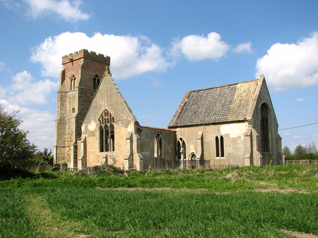
St Mary's Church, Islington, Norfolk
St Mary's Church is a ruined redundant Anglican church in the civil parish of Tilney St Lawrence, Norfolk, England. It is recorded in the National Heritage...
Nearby Amenities
Located within 500m of 52.739968,0.31252993Have you been to First Frith Field?
Leave your review of First Frith Field below (or comments, questions and feedback).