The Folly
Settlement in Hertfordshire Hertsmere
England
The Folly
The Folly is a historic building located in Hertfordshire, England. Situated on the outskirts of the town of Codicote, it is an iconic landmark that has become a popular tourist attraction. The Folly was built in the early 18th century as a country house and has since evolved into a unique architectural masterpiece.
The building itself is a grand example of Gothic Revival architecture, featuring intricate detailing and ornate carvings. It is constructed primarily of red brick, with a distinctive tower and several turrets that give it a fairytale-like appearance. The Folly is set within extensive landscaped gardens, which further enhance its picturesque charm.
Originally, The Folly served as a private residence for wealthy families. However, in recent years, it has been converted into a luxury hotel and event venue. The interior of the building has been carefully restored to preserve its historic character, with period furnishings and elegant décor.
Visitors to The Folly can explore the stunning grounds, take guided tours of the building, or enjoy a meal in the on-site restaurant. The gardens offer a serene setting for leisurely walks, and there are often special events and exhibitions held within the grounds.
Overall, The Folly is a captivating destination that combines history, architecture, and natural beauty. Its enchanting atmosphere and rich heritage make it a must-visit location for both locals and tourists alike.
If you have any feedback on the listing, please let us know in the comments section below.
The Folly Images
Images are sourced within 2km of 51.68322/-0.32942442 or Grid Reference TQ1599. Thanks to Geograph Open Source API. All images are credited.
The Folly is located at Grid Ref: TQ1599 (Lat: 51.68322, Lng: -0.32942442)
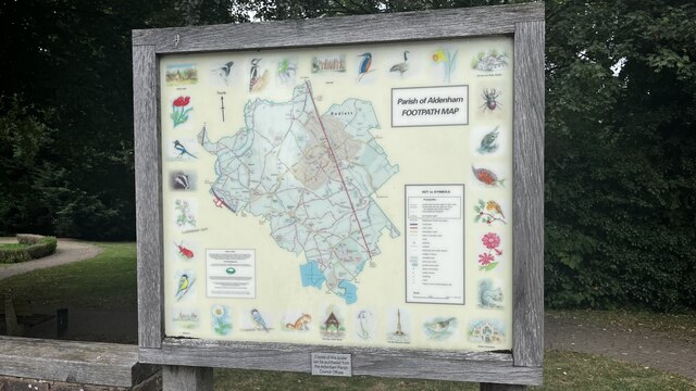
Administrative County: Hertfordshire
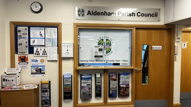
District: Hertsmere
Police Authority: Hertfordshire
What 3 Words
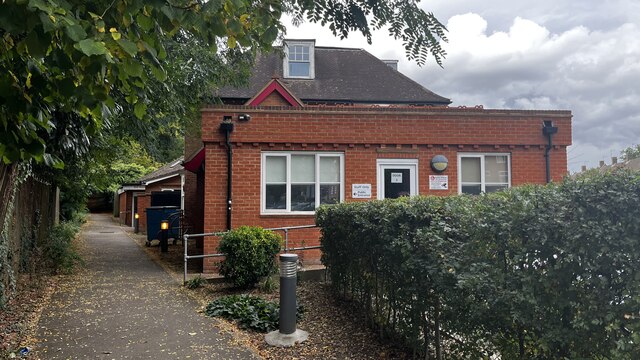
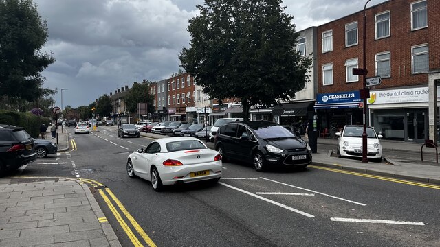
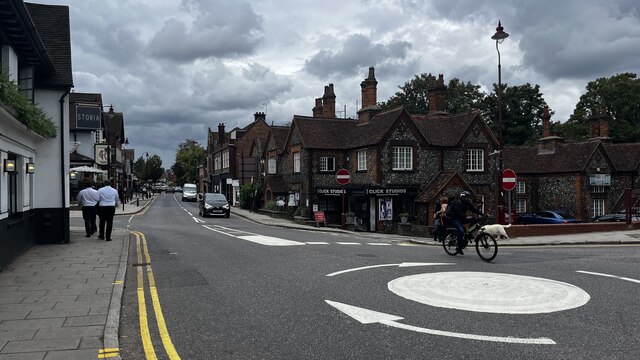
///moth.estate.fishery. Near Radlett, Hertfordshire
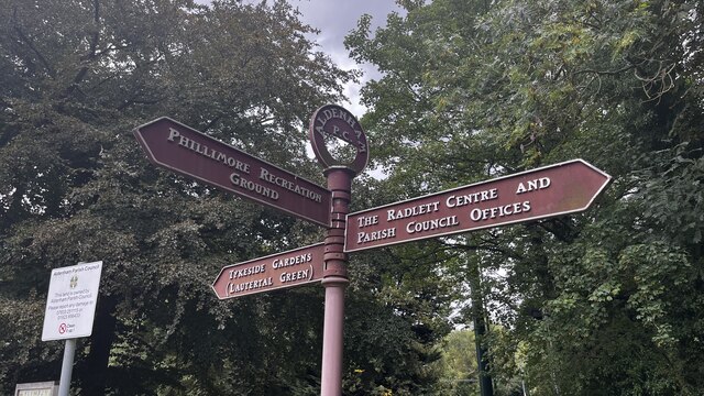
Nearby Locations
Related Wikis
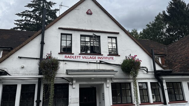
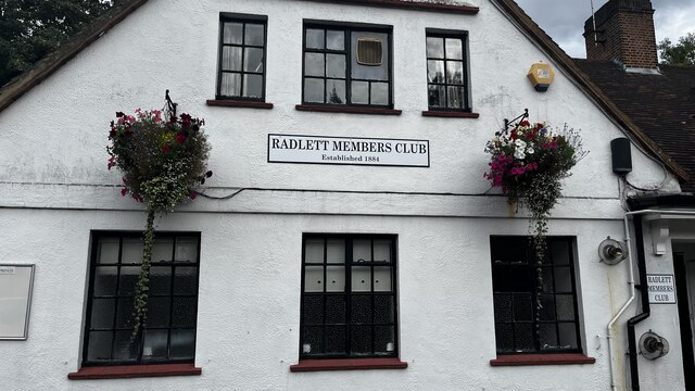
Radlett
Radlett is a village in Hertfordshire, England, between Elstree and St Albans on Watling Street, with a population of 10,060. It is in the council district...
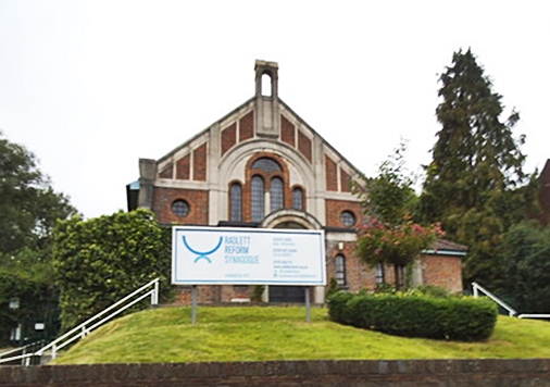
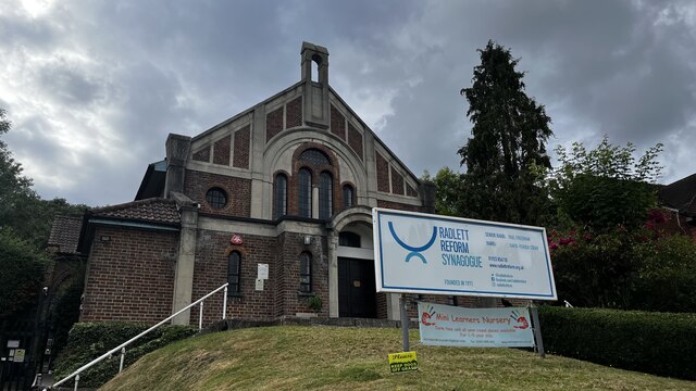
Radlett Reform Synagogue
Radlett Reform Synagogue is a synagogue in Radlett, Hertfordshire, England. It is affiliated to the Movement for Reform Judaism. Its current Senior Rabbi...

Radlett railway station
Radlett railway station is on the Midland Main Line in England, serving the village of Radlett, Hertfordshire. It is 15 miles 17 chains (24.5 km) down...

Edge Grove School
Edge Grove School, simply Edge Grove, is a 3–13 mixed, private, day preparatory school in Aldenham, Watford, Hertfordshire, England. It was established...

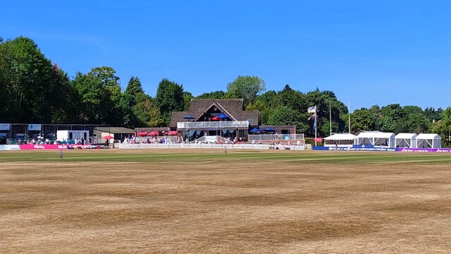
Brunton Memorial Ground
Brunton Memorial Ground is a cricket ground at Radlett in Hertfordshire. The ground is the home of Radlett Cricket Club and, since 2013, has been used...

Letchmore Heath
Letchmore Heath is a village in Hertfordshire in England, situated about three miles east of Watford. == General == The village, consisting of about 150...

Wall Hall
Wall Hall, originally known as Aldenham Abbey, is a country house at Aldenham in Hertfordshire, England. The main house and several ancillary buildings...

Munden House
Munden House and its estate are located between Watford, Radlett and Bricket Wood in the county of Hertfordshire, England. It is a Grade II listed building...
Nearby Amenities
Located within 500m of 51.68322,-0.32942442Have you been to The Folly?
Leave your review of The Folly below (or comments, questions and feedback).