The Folly
Settlement in Dorset
England
The Folly
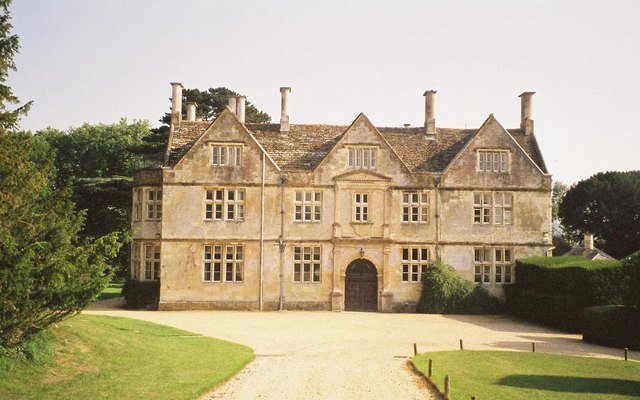
The Folly is a historic landmark located in the picturesque town of Dorset, England. It is an exquisite example of Victorian architecture and stands proudly on a hilltop, offering breathtaking views of the surrounding countryside.
Constructed in the mid-19th century, the Folly was initially built as a hunting lodge for the local Lord. Its design was inspired by Gothic Revival architecture, with its prominent tower, pointed arches, and decorative detailing. The building is made of local stone, giving it a distinct charm and blending seamlessly with its natural surroundings.
Today, the Folly serves as a popular tourist attraction and is open to the public. Visitors can explore the various rooms and corridors, which have been preserved in their original state, allowing them to experience the grandeur and opulence of the Victorian era. The tower provides a panoramic view of the rolling hills, lush valleys, and the nearby River Stour, making it a favorite spot for photographers and nature enthusiasts.
The Folly is also a hub for cultural events and activities, hosting art exhibitions, musical performances, and theatrical productions throughout the year. Its tranquil gardens, adorned with colorful flowers and manicured lawns, provide a serene setting for picnics and leisurely walks.
In conclusion, the Folly in Dorset is a splendid architectural gem that offers visitors a glimpse into the past while providing a stunning backdrop for relaxation and cultural experiences.
If you have any feedback on the listing, please let us know in the comments section below.
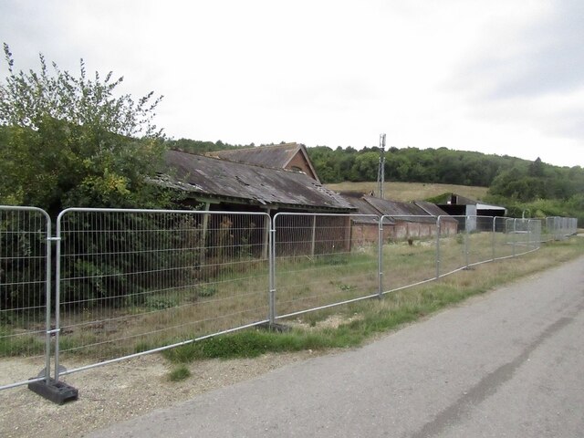
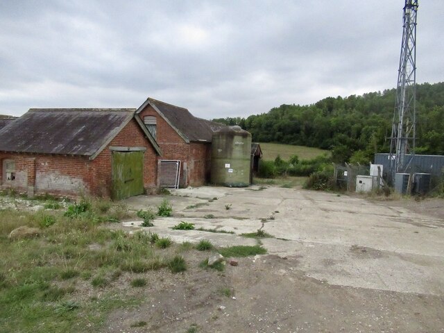
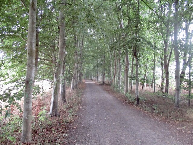
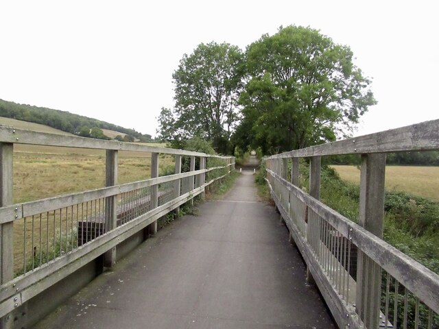
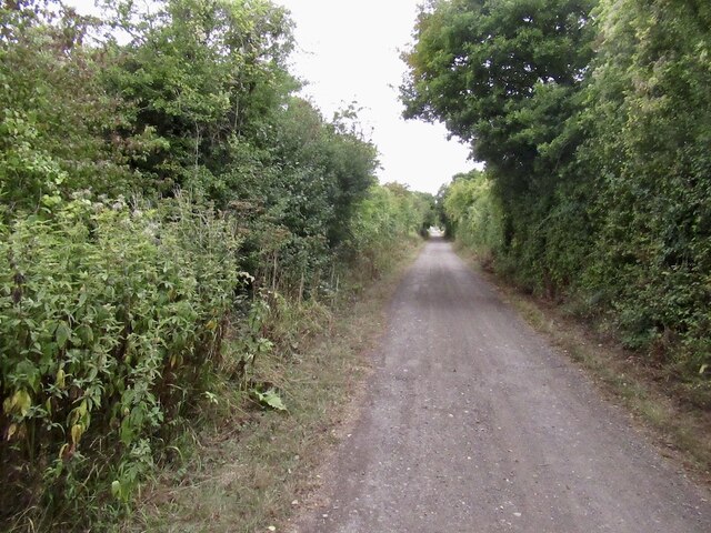
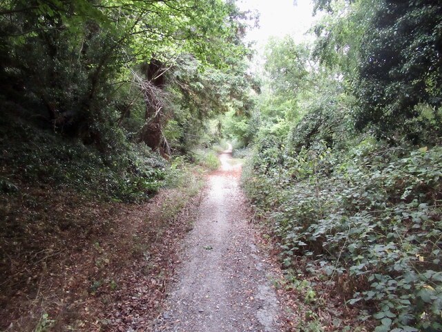
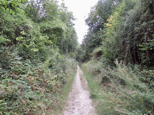
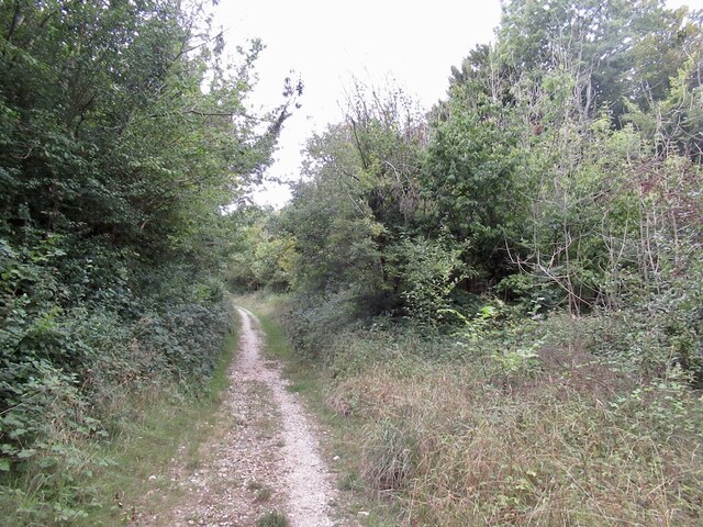
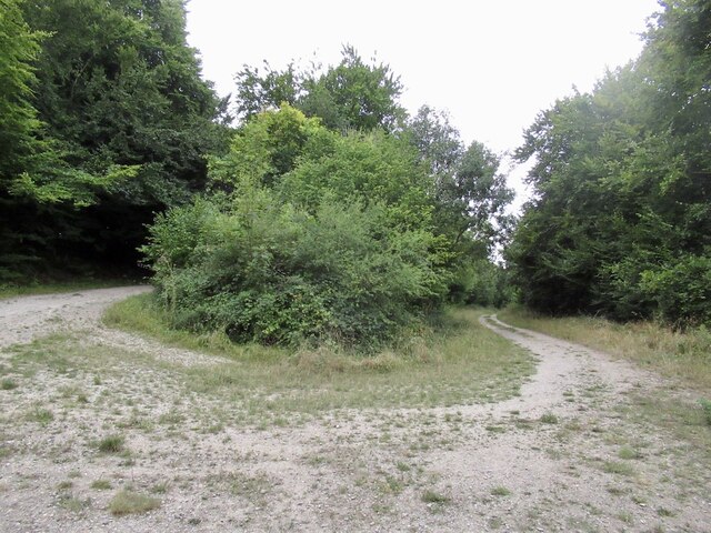
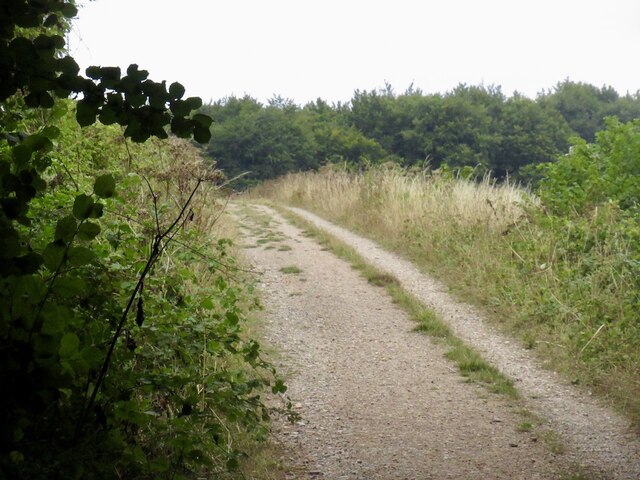
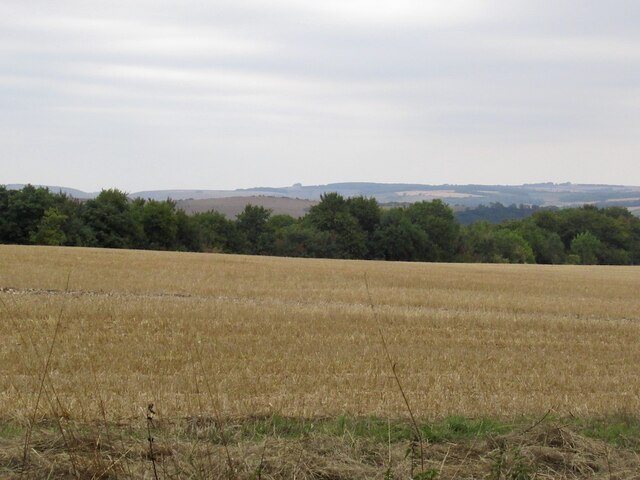
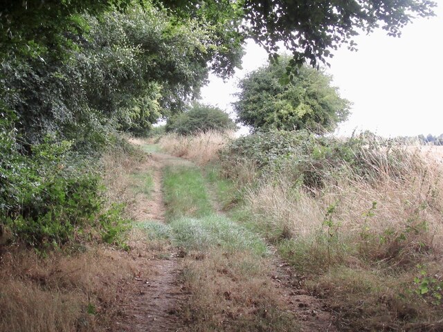
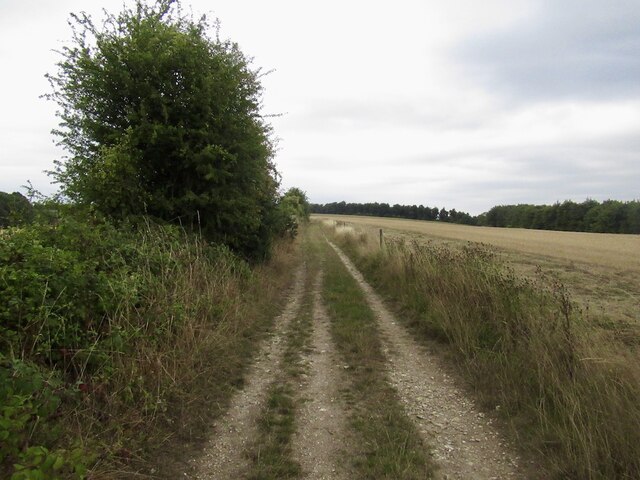
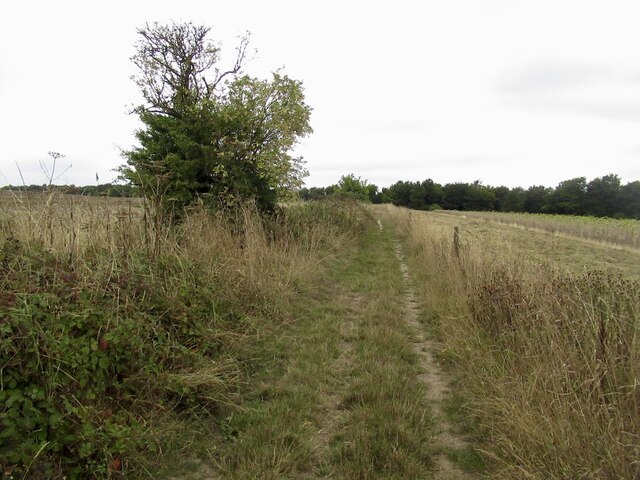
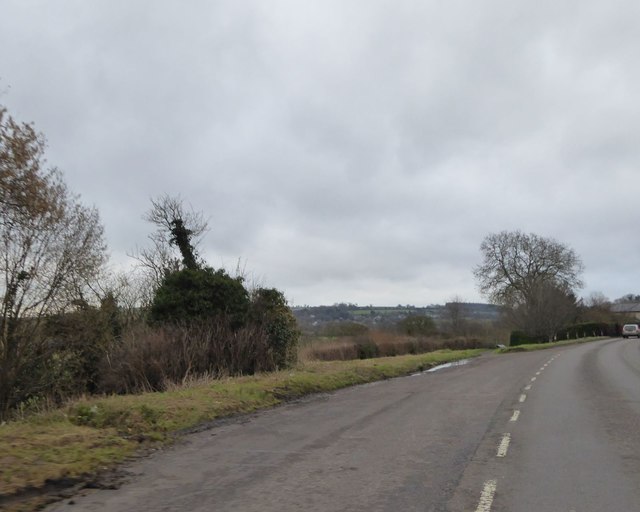
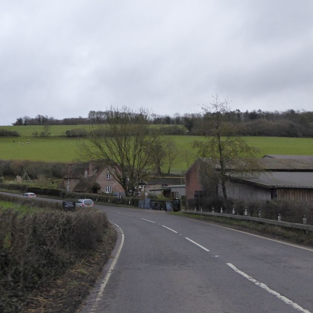
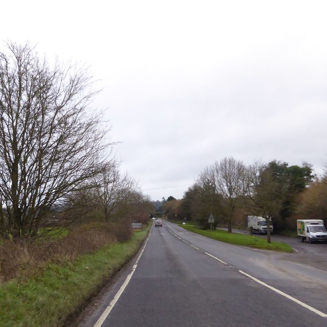
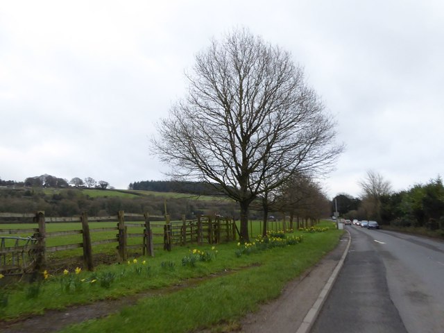
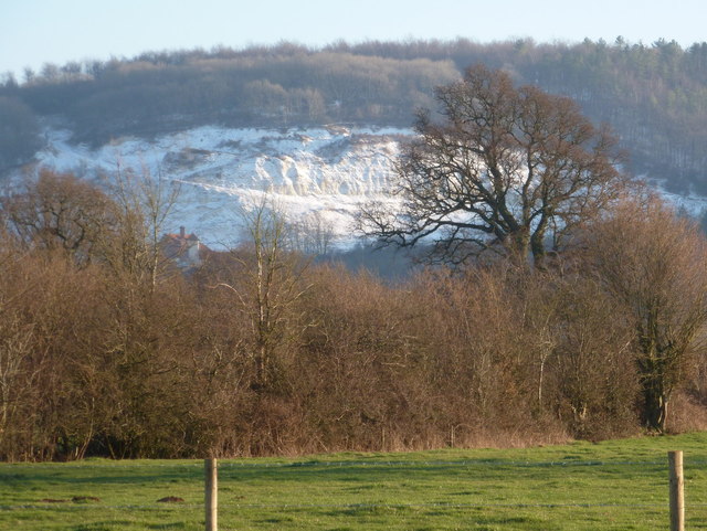
The Folly Images
Images are sourced within 2km of 50.873015/-2.2270424 or Grid Reference ST8408. Thanks to Geograph Open Source API. All images are credited.
The Folly is located at Grid Ref: ST8408 (Lat: 50.873015, Lng: -2.2270424)
Unitary Authority: Dorset
Police Authority: Dorset
What 3 Words
///dinosaur.protected.comic. Near Shillingstone, Dorset
Nearby Locations
Related Wikis

Blandford Forest
Blandford Forest is a scattered area of woodland centred to the northwest of the town of Blandford Forum in North Dorset, England. == Location == According...

Durweston
Durweston ( dər-WES-tən) is a village and civil parish in the English county of Dorset. It lies two miles (three kilometres) northwest of the town of Blandford...

Turnworth
Turnworth is a small village and civil parish in north Dorset, England, situated on the Dorset Downs five miles (eight kilometres) west of Blandford Forum...

Stourpaine and Durweston railway station
Stourpaine & Durweston Halt was a railway station in the English county of Dorset. It was located between Shillingstone and Blandford Forum on the Somerset...

Stourpaine
Stourpaine () is a village and civil parish in the ceremonial county of Dorset in southern England. It is situated in the valley of the River Stour in...
Shillingstone Quarry
Shillingstone Quarry SSSI, Dorset (grid reference ST823098) is an 8.13 hectare geological Site of Special Scientific Interest in Dorset, England, notified...

Hod Hill
Hod Hill (or Hodd Hill) is a large hill fort in the Blackmore Vale, 3 miles (5 km) north-west of Blandford Forum, Dorset, England. The fort sits on a 143...
Hanford School
Hanford School is a girls' boarding preparatory school located in Hanford, Child Okeford, Dorset, England, established in 1947 and located in a grade II...
Related Videos

Van Life | Dog Walking | Dorset | Marley Labrador // Chasing Shadows 59A //
This episode (Chasing Shadows 59A) has had to be uploaded separately. It's just over eight minutes long but for some reason ...
![WALKS IN DORSET at STOURPAINE & HOD HILL (IRON AGE HILL FORT) [4K]](https://i.ytimg.com/vi/3bJwnmFTKog/hqdefault.jpg)
WALKS IN DORSET at STOURPAINE & HOD HILL (IRON AGE HILL FORT) [4K]
This is another video in my series “Walks in Dorset” accompanied by my Whippet (Logan). In this episode I am at Stourpaine – a ...

Shillingstone Railway Project In The Heart Of Rural Dorset Progress Update.
I spent the Sunday afternoon down at Shillingstone Railway Station thats managed by the North Dorset Railway Trust, to see what ...

Nearby Amenities
Located within 500m of 50.873015,-2.2270424Have you been to The Folly?
Leave your review of The Folly below (or comments, questions and feedback).