The Flints

Settlement in Hertfordshire North Hertfordshire

England

The Flints

The end of the road Little Offley is just one road and it doesn't go anywhere. This track leads off it near the far end.
The end of the road Credit: David Howard

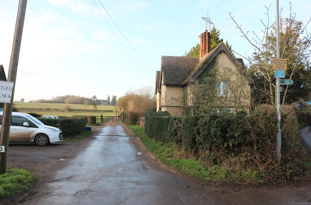
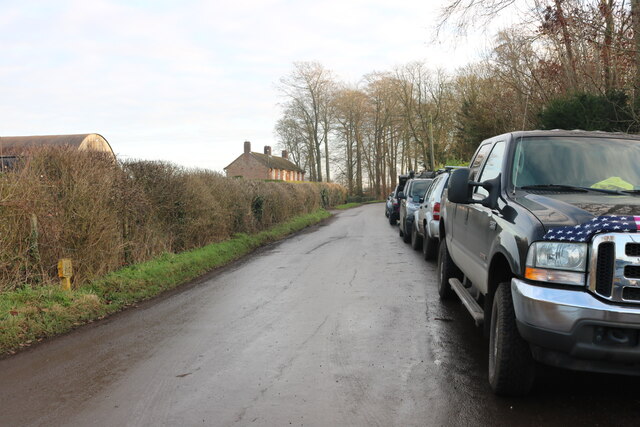
The Flints is a small village located in the county of Hertfordshire, England. Situated approximately 40 miles north of London, The Flints is nestled within the picturesque countryside, offering residents and visitors a tranquil and scenic environment.

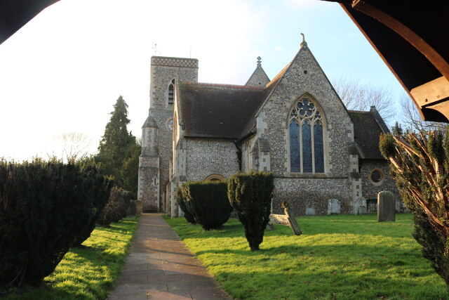
The village is known for its charming, traditional architecture, with many of the buildings dating back several centuries. The Flints has managed to preserve its historic charm, with the local authorities implementing strict regulations to maintain the village's unique character.

With a population of around 500 residents, The Flints retains a close-knit community feel. The village boasts a range of amenities, including a village hall, a primary school, and a local pub, which serves as a social hub for the community.

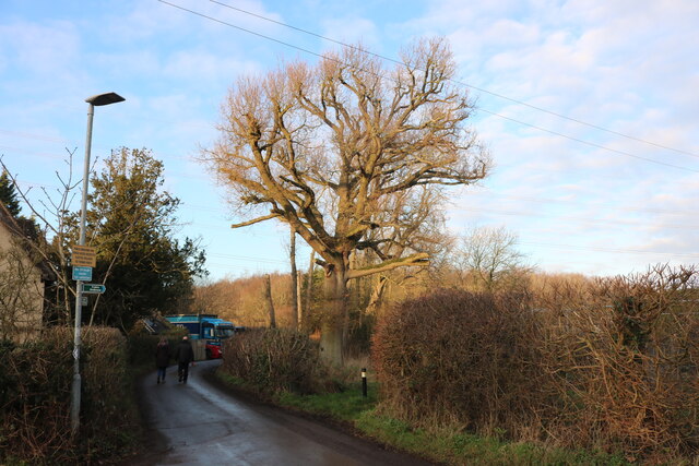
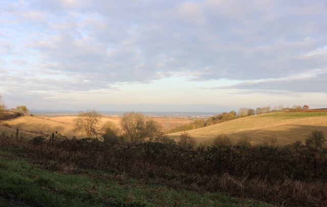
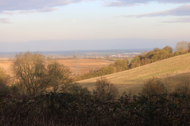
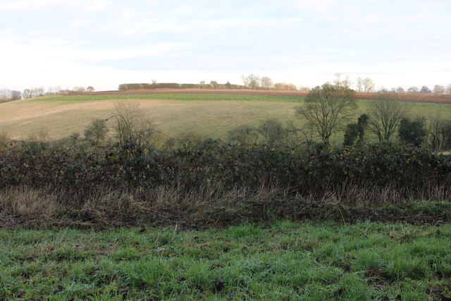
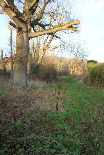
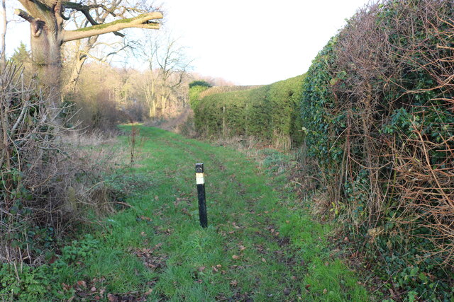
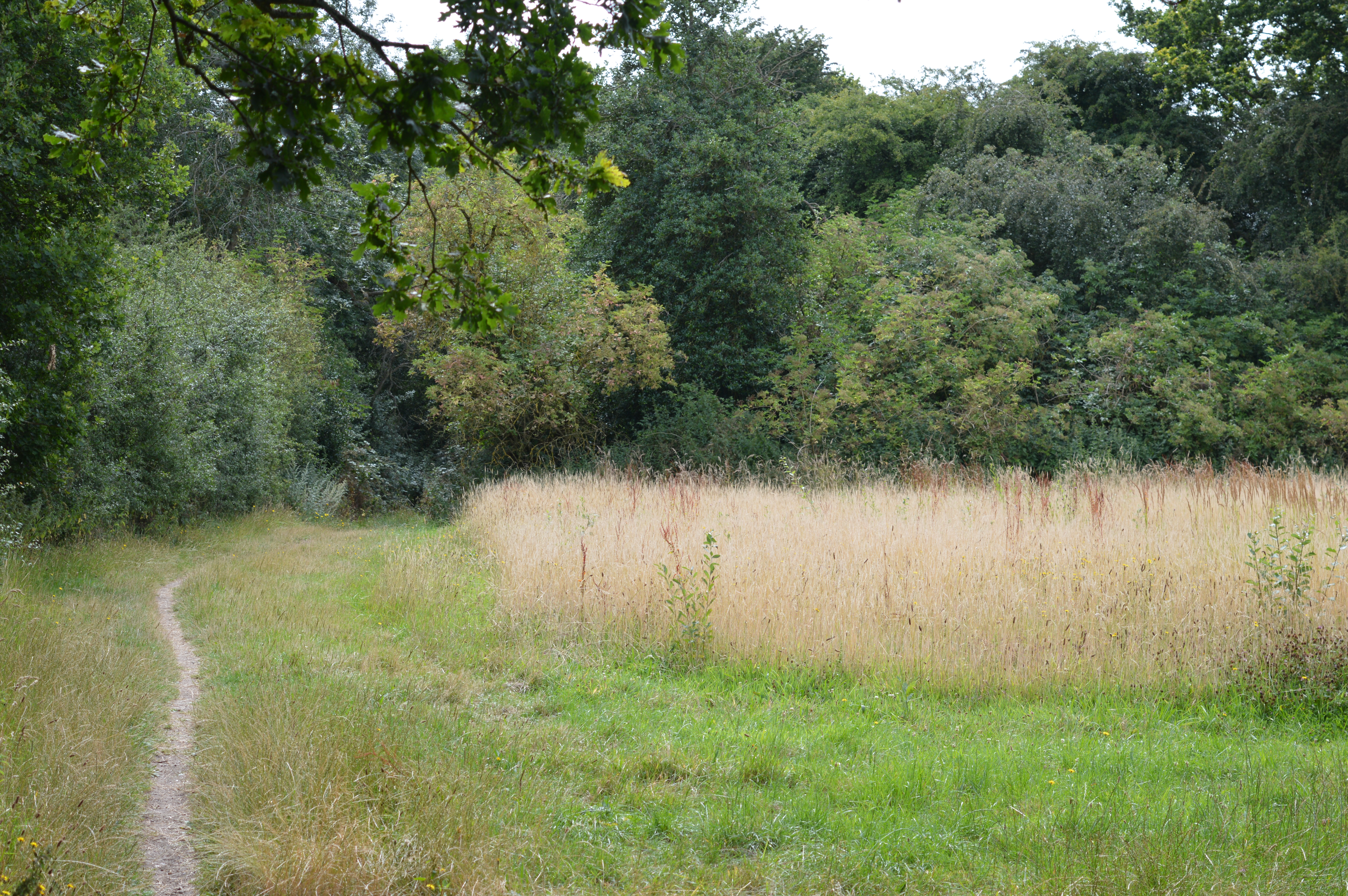
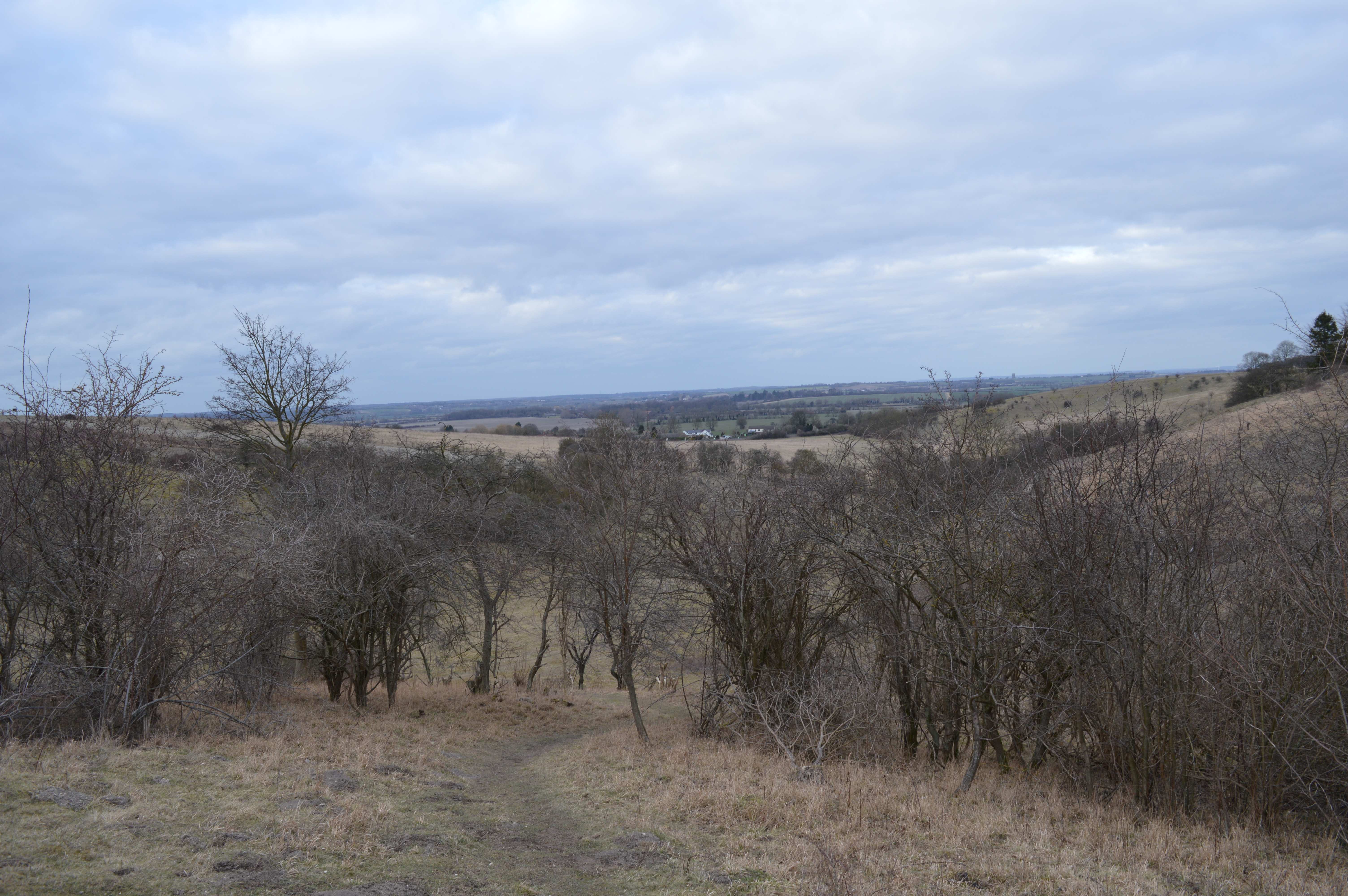
Surrounded by rolling hills and lush green fields, The Flints is a haven for nature enthusiasts and outdoor enthusiasts. The village is surrounded by several nature reserves and walking trails, providing ample opportunities for hiking, birdwatching, and enjoying the great outdoors.

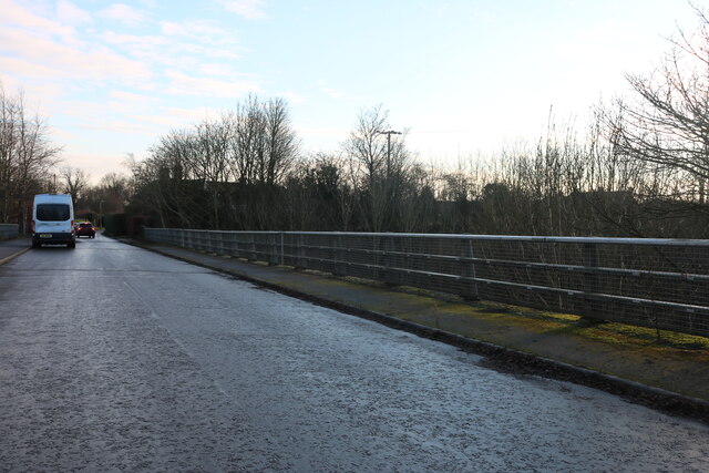
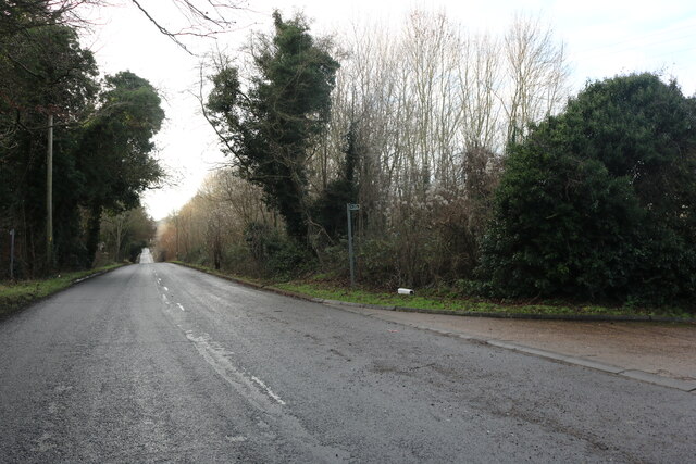
Although The Flints is a predominantly residential area, it benefits from its proximity to larger towns and cities. The village is conveniently located near major transportation routes, making it easily accessible for commuters.

Overall, The Flints offers a peaceful and idyllic countryside setting, perfect for those seeking a quieter pace of life while still having access to the amenities and opportunities provided by nearby urban areas.

If you have any feedback on the listing, please let us know in the comments section below.
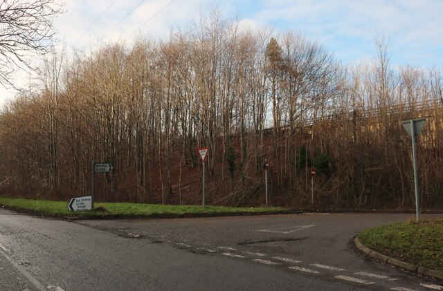
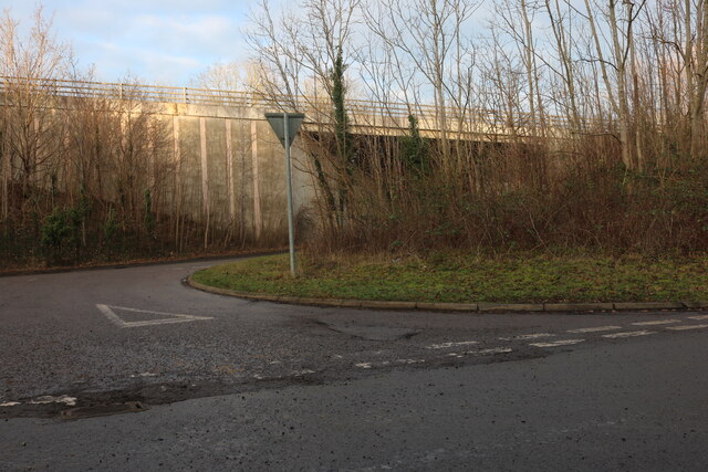
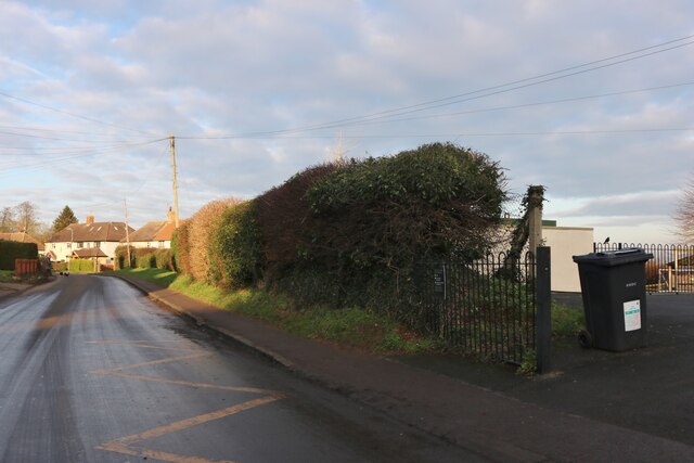
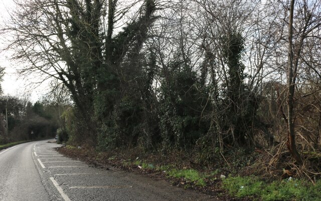
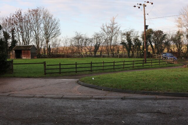
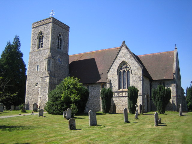
The Flints Images

Images are sourced within 2km of 51.928412/-0.35185291 or Grid Reference TL1326. Thanks to Geograph Open Source API. All images are credited.

The end of the road Little Offley is just one road and it doesn't go anywhere. This track leads off it near the far end.
The end of the road
Little Offley is just one road and it doesn't go anywhere. This track leads off it near the far end.
School Lane, Little Offley It was a very busy Sunday afternoon considering, with lots of walkers out for the nice weather in proper gear. They were all parked up along the road (and quite a few nearby) changing by the roadside.
School Lane, Little Offley
It was a very busy Sunday afternoon considering, with lots of walkers out for the nice weather in proper gear. They were all parked up along the road (and quite a few nearby) changing by the roadside.
School Lane crossing the Offley Bypass
The entrance to St Peter's Church, Lilley
St Peter's Church, Lilley
Offley Hill by the Offley Bypass
Offley Endowed Primary School
School Lane, Great Offley The school is on the right
School Lane, Great Offley
The school is on the right
View across Birkitt Hill, Little Offley
School Lane, Little Offley
Birkitt Hill, Little Offley
Path in Little Offley
Offley Hill, Great Offley
Lawn by Offley Hill, Great Offley
Show me another place!

The Flints is located at Grid Ref: TL1326 (Lat: 51.928412, Lng: -0.35185291)

Administrative County: Hertfordshire

District: North Hertfordshire

Police Authority: Hertfordshire

What 3 Words

///bets.notice.remarried. Near Pirton, Hertfordshire

Nearby Locations

The Flints

Related Wikis

Offley

Offley is a civil parish in the English county of Hertfordshire, between Hitchin and Luton. The main village is Great Offley, and the parish also contains...

Lilley, Hertfordshire

Lilley is a small village and civil parish situated between Hitchin and Luton in Hertfordshire, England. Lilley stands on high ground: nearby Telegraph...

Hitchin Yeshiva

Yeshivas Toras Chessed is a Jewish yeshiva, or rabbinical school. Its curriculum focuses on Torah study, emphasizing the study of Talmud and Jewish law...

Telegraph Hill, Hertfordshire

Telegraph Hill is a nature reserve near Lilley in north Hertfordshire. It is in the Chilterns Area of Outstanding Natural Beauty (AONB). According to...
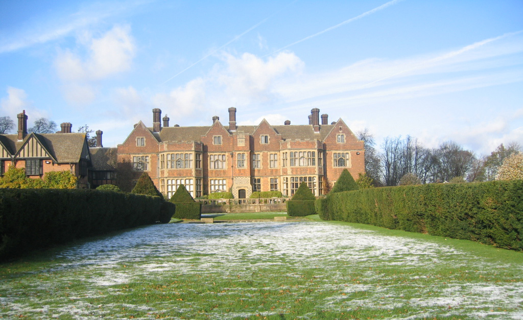
Putteridge Bury

Putteridge Bury is a country house on the edge of the built-up area of Luton, Bedfordshire, England but located just over the county boundary in the parish...

Deacon Hill SSSI

Deacon Hill SSSI is a 35.4-hectare (87-acre) biological Site of Special Scientific Interest in Pegsdon in Bedfordshire. It is in the Chilterns Area of...

Pegsdon Hills and Hoo Bit

Pegsdon Hills and Hoo Bit is a 79-hectare (200-acre) nature reserve in Pegsdon in Bedfordshire. It is managed by the Wildlife Trust for Bedfordshire, Cambridgeshire...

Putteridge

Putteridge is a suburb at the north-eastern edge of Luton, in Bedfordshire, England. Putteridge is a little over 2 miles (3.2 km) from Luton town centre...

Nearby Amenities

Located within 500m of 51.928412,-0.35185291
Bus Stop
Mill Farm nr
Local Ref: NR
Naptan AtcoCode: 210021100060
Naptan Bearing: E
Naptan CommonName: Mill Farm
Naptan Crossing: Honeysuckle Lane
Naptan Indicator: nr
Naptan Landmark: Honeysuckle Lane
Naptan NaptanCode: hrtgmdpt
Naptan PlusbusZoneRef: HITCHIN
Naptan ShortCommonName: NA
Naptan Street: Luton Road
Naptan Verified: no
Ref SMS: hrtgmdpt
Source: naptan_import
Lat/Long: 51.9285427/-0.350921
Bus Stop
Mill Farm opp
Naptan AtcoCode: 210021108020
Naptan Bearing: W
Naptan CommonName: Mill Farm
Naptan Crossing: Glebe Farm
Naptan Indicator: opp
Naptan Landmark: Glebe Farm
Naptan NaptanCode: hrtgjdgm
Naptan PlusbusZoneRef: HITCHIN
Naptan ShortCommonName: NA
Naptan Street: Luton Road
Naptan Verified: no
Ref SMS: hrtgjdgm
Source: naptan_import
Lat/Long: 51.9281451/-0.3531922
Crossing
Bicycle: dismount
Crossing: unmarked
Horse: yes
Kerb: raised
Tactile Paving: no
Lat/Long: 51.9313698/-0.3489928
Crossing
Bicycle: dismount
Crossing: unmarked
Horse: yes
Kerb: raised
Tactile Paving: no
Lat/Long: 51.9314637/-0.3490758
Post Box
Collection Times: Mo-Fr 16:15; Sa 08:30
Operator: Royal Mail
Post Box Type: lamp
Postal Code: SG5 3DR
Ref: SG5 127
Royal Cypher: EIIR
Royal Cypher Wikidata: Q33102113
Lat/Long: 51.9284345/-0.3521196
Rest Area
Surface: concrete
Lat/Long: 51.927997/-0.3572541
Bus: yes
Direction: backward
Operator: Arriva
Public Transport: stop_position
Ref: 101
Ref SMS: hrtgjdgm
Lat/Long: 51.9281907/-0.3531999
Great Offley
Direction: forward
Traffic Sign: city_limit
Lat/Long: 51.9286658/-0.3450367
Access: private
Barrier: swing_gate
Material: metal
Swing Gate Type: double
Lat/Long: 51.9266352/-0.3571852
Rest Area
Surface: concrete
Lat/Long: 51.9278264/-0.3570731
Access: private
Entrance: yes
Lat/Long: 51.9283427/-0.3530299
Access: private
Entrance: yes
Lat/Long: 51.9289806/-0.3520428
Access: private
Entrance: yes
Lat/Long: 51.9284217/-0.353928
Access: private
Entrance: yes
Lat/Long: 51.9285108/-0.3517451
Material: wood
Operator: UK Power Networks
Power: pole
Lat/Long: 51.927986/-0.3550279
Material: wood
Operator: UK Power Networks
Power: pole
Lat/Long: 51.9272533/-0.3548455
Material: wood
Operator: UK Power Networks
Power: pole
Lat/Long: 51.9263667/-0.3546309
Material: wood
Operator: UK Power Networks
Power: pole
Lat/Long: 51.9245563/-0.3542005
Branch: UK Power Networks
Branch Type: tap
Material: wood
Operator: UK Power Networks
Pole Type: branch
Power: pole
Lat/Long: 51.9254619/-0.3544217
Material: wood
Operator: UK Power Networks
Power: pole
Lat/Long: 51.9255661/-0.3527454
Material: wood
Operator: UK Power Networks
Power: pole
Lat/Long: 51.9256836/-0.3510126
Material: wood
Operator: UK Power Networks
Power: pole
Lat/Long: 51.925801/-0.3491485
Material: wood
Operator: UK Power Networks
Power: pole
Lat/Long: 51.9259499/-0.3471221
Material: wood
Operator: UK Power Networks
Power: pole
Lat/Long: 51.9318909/-0.3560284
Material: wood
Operator: UK Power Networks
Power: pole
Lat/Long: 51.9310027/-0.3557763
Material: wood
Operator: UK Power Networks
Power: pole
Lat/Long: 51.9301014/-0.3555509
Material: wood
Operator: UK Power Networks
Power: pole
Lat/Long: 51.9292248/-0.355331
Bus: yes
Direction: forward
Operator: Arriva
Public Transport: stop_position
Ref: 101
Ref SMS: hrtgmdpt
Lat/Long: 51.9284995/-0.3509141
Colour: red
Marker: post
Material: concrete
Utility: gas
Lat/Long: 51.9266959/-0.3575874
Colour: red
Marker: post
Material: plastic
Utility: gas
Lat/Long: 51.9264793/-0.3574786
Colour: white
Marker: yes
Utility: oil
Lat/Long: 51.9287174/-0.3484498
Colour: white
Marker: yes
Utility: oil
Lat/Long: 51.9286552/-0.348483
Colour: white
Marker: yes
Utility: oil
Lat/Long: 51.9285308/-0.3485401
The data included in this document is from www.openstreetmap.org. The data is made available under ODbL.

Have you been to The Flints?

Leave your review of The Flints below (or comments, questions and feedback).