Tadley Hill

Settlement in Hampshire Basingstoke and Deane

England

Tadley Hill

Barley Field near Coombe House Farm The square is currently planted with more than one type of crop. This barley field is in the south western section of the square.
Barley Field near Coombe House Farm Credit: Pam Brophy

Tadley Hill is a small village located in the county of Hampshire, England. Situated approximately 9 miles north of Basingstoke, the village is nestled amidst picturesque countryside and offers a charming rural setting.

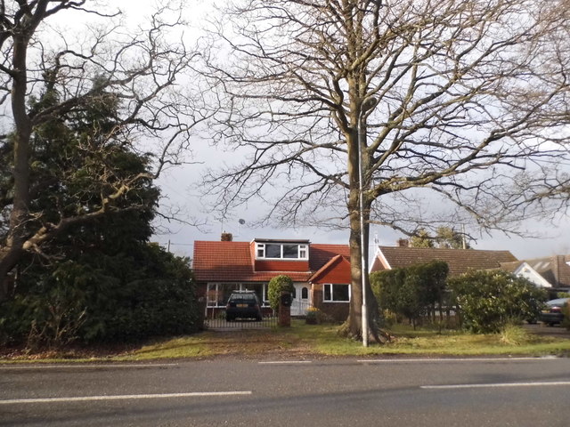
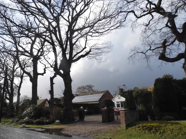
The village is known for its tranquil atmosphere and close-knit community, making it an ideal place for those seeking a peaceful lifestyle. Tadley Hill is predominantly residential, with a mix of traditional cottages and modern houses dotting the landscape. The area is characterized by its well-maintained gardens and lush green spaces, providing residents with a pleasant environment to enjoy.

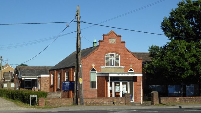
Although Tadley Hill is primarily residential, it benefits from its proximity to nearby towns and cities. Basingstoke, with its extensive range of amenities, including shopping centers, restaurants, and leisure facilities, is easily accessible, offering residents the convenience of urban amenities within reach.

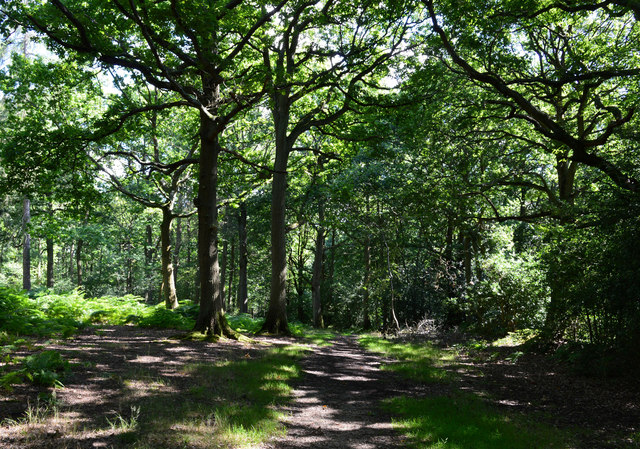
Nature enthusiasts will find plenty to explore in the surrounding area, as Tadley Hill is located near beautiful countryside and nature reserves. The nearby Pamber Forest, with its diverse wildlife and tranquil walking trails, is a popular spot for outdoor activities such as hiking and birdwatching.

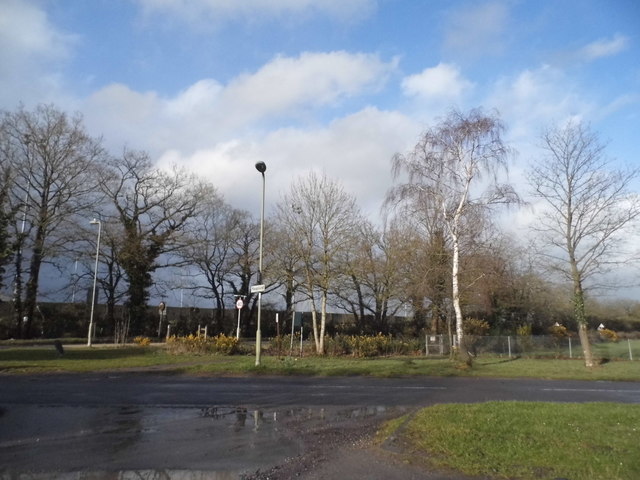
Tadley Hill also boasts good transportation links, with regular bus services connecting the village to surrounding areas. Additionally, the village benefits from its proximity to major road networks, including the M3 motorway, providing easy access to other parts of Hampshire and beyond.

Overall, Tadley Hill offers a peaceful and picturesque village setting, making it an attractive place to reside for those seeking a rural lifestyle within reach of urban amenities.

If you have any feedback on the listing, please let us know in the comments section below.
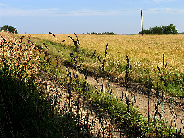
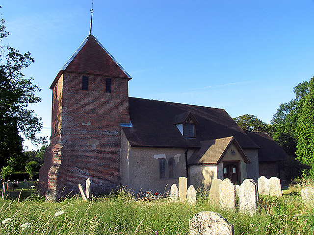
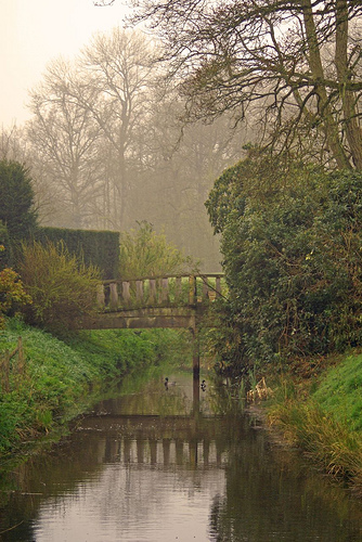
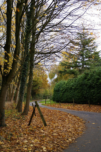
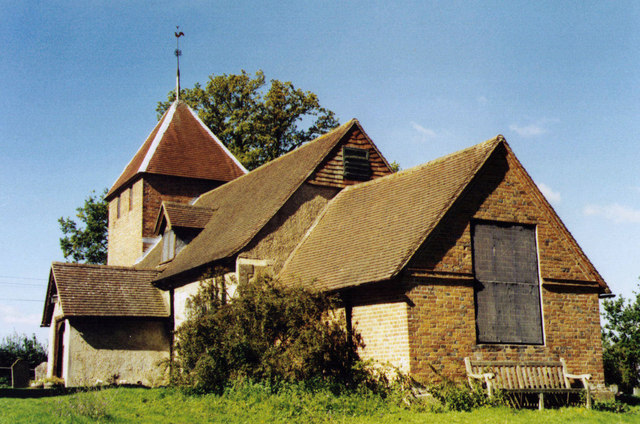
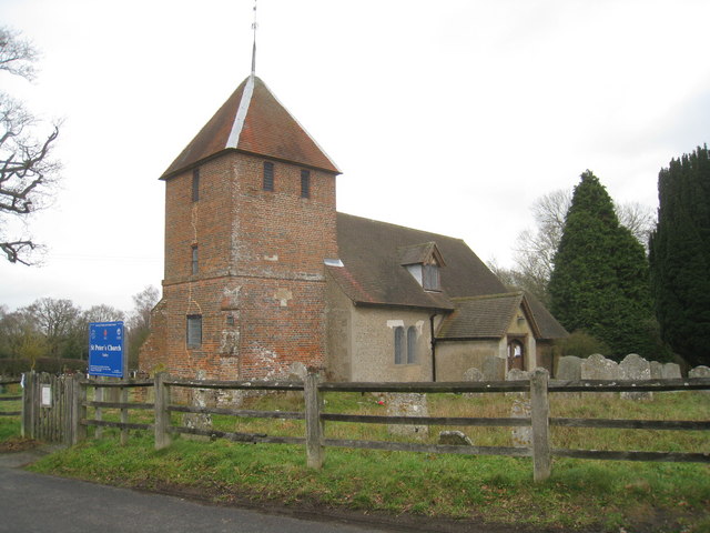
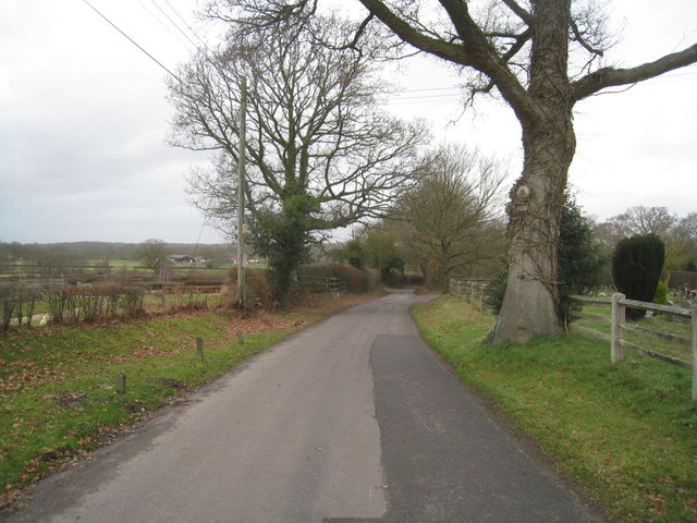
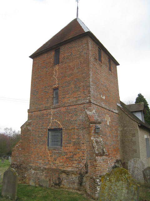
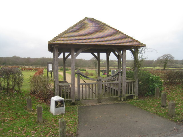
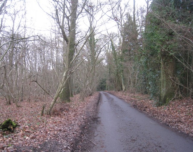
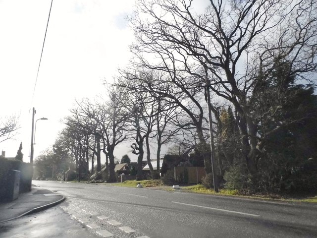
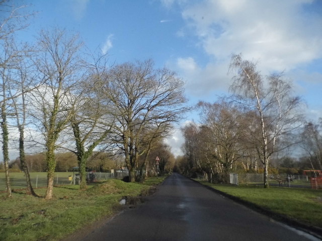
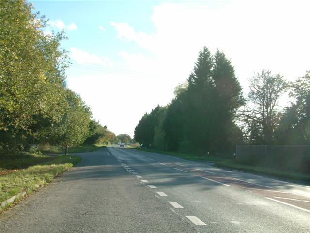
Tadley Hill Images

Images are sourced within 2km of 51.344032/-1.1371331 or Grid Reference SU6060. Thanks to Geograph Open Source API. All images are credited.

Barley Field near Coombe House Farm The square is currently planted with more than one type of crop. This barley field is in the south western section of the square.
Barley Field near Coombe House Farm
The square is currently planted with more than one type of crop. This barley field is in the south western section of the square.
St Peter's near Tadley Place This square is mostly farmland but also contains the Church of St Peter. The church has a new cemetery and with a new lych gate at its entrance. This new cemetery is opposite the church.
St Peter's near Tadley Place
This square is mostly farmland but also contains the Church of St Peter. The church has a new cemetery and with a new lych gate at its entrance. This new cemetery is opposite the church.
Wyeford farm moat Photo shot from the footpath that passes this lovely moated house
Wyeford farm moat
Photo shot from the footpath that passes this lovely moated house
Autumnal lane Part of the very narrow lane that joins Westheath to Tadley
Autumnal lane
Part of the very narrow lane that joins Westheath to Tadley
St Peter, Tadley Grade 2 listed building erected in the 13th century.
St Peter, Tadley
Grade 2 listed building erected in the 13th century.
St Peter's Church, Tadley South of the ever expanding Tadley.
St Peter's Church, Tadley
South of the ever expanding Tadley.
Church Lane - Tadley Heading towards the village just by St Peter's Church.
Church Lane - Tadley
Heading towards the village just by St Peter's Church.
St Peter's Church, Tadley
Cemetery entrance St Peter's Church, Tadley.
Cemetery entrance
St Peter's Church, Tadley.
Passing through Browning Hill Copse
Browning Hill Copse
Browning Hill Copse
Bridleway, Pamber Forest, Hampshire
Silchester Road, Pamber Heath
Houses on Silchester Road, Pamber Heath
The Salvation Army, Tadley Church and community centre built in 1909.
The Salvation Army, Tadley
Church and community centre built in 1909.
Tadley Common Road
Tadley Common Road
Tadley Common Road
Tadley Common Road
Show me another place!

Tadley Hill is located at Grid Ref: SU6060 (Lat: 51.344032, Lng: -1.1371331)

Administrative County: Hampshire

District: Basingstoke and Deane

Police Authority: Hampshire

What 3 Words

///overheat.ecologist.marginal. Near Tadley, Hampshire

Nearby Locations

Tadley Hill

Related Wikis

Ron Ward's Meadow With Tadley Pastures

Ron Ward's Meadow With Tadley Pastures is a site of Site of Special Scientific Interest (SSSI). It is based on the edge of Tadley in Hampshire, England...

Tadley

Tadley is a town and civil parish in the English county of Hampshire. During the 1950s and 1960s, the Atomic Weapons Research Establishment (AWRE), now...

Pamber

Pamber is a civil parish located in the north of Hampshire, England, near the border with Berkshire. The parish population at the 2011 Census was 2,613...

Pamber Green

Pamber Green is a hamlet in north Hampshire, England. == Governance == Pamber Green is part of the parish of Pamber, which covers Pamber Heath, Pamber...

Pamber Forest and Silchester Common

Pamber Forest and Silchester Common is a 341.7-hectare (844-acre) biological Site of Special Scientific Interest in Tadley in Hampshire. Pamber Forest...

Tadley Calleva F.C.

Tadley Calleva Football Club are a football club based in Tadley, Hampshire, England. The club is affiliated to the Hampshire Football Association. The...

West's Meadow, Aldermaston

West's Meadow, Aldermaston is a 1.2-hectare (3.0-acre) biological Site of Special Scientific Interest south of Aldermaston in Berkshire.The site consists...

Orion (laser)

The Orion Laser Facility (also known as the Orion Laser) is a high power laser facility based at the Atomic Weapons Establishment (AWE) on the former RAF...

Nearby Amenities

Located within 500m of 51.344032,-1.1371331
Crossing
Crossing: unmarked
Kerb: lowered
Sloped Curb: yes
Lat/Long: 51.3470082/-1.1390752
Koala Store
Created By: Potlatch 0.5d
Shop: convenience
Lat/Long: 51.3473775/-1.1395187
War Memorial
Historic: memorial
Lat/Long: 51.344/-1.1356738
Crossing
Bicycle: no
Crossing: unmarked
Kerb: raised
Sloped Curb: no
Wheelchair: no
Lat/Long: 51.3477965/-1.1370342
Barrier: cycle_barrier
Lat/Long: 51.346976/-1.1361798
Addr Housenumber: 5
Addr Place: Tadley
Addr Postcode: RG26 3UG
Addr Street: Herriard Way
Lat/Long: 51.3458996/-1.1399426
Crossing
Crossing: unmarked
Kerb: lowered
Sloped Curb: yes
Lat/Long: 51.3476045/-1.136888
Crossing
Crossing: unmarked
Kerb: lowered
Sloped Curb: yes
Lat/Long: 51.3450245/-1.1410059
Crossing
Crossing: unmarked
Kerb: lowered
Sloped Curb: yes
Traffic Calming: choker
Lat/Long: 51.3452805/-1.1426473
Post Box
Mapillary: 529114498495882
Post Box Mounting: pier
Post Box Type: lamp
Postal Code: RG26
Ref: RG26 65
Survey Date: 2020-09-27
Lat/Long: 51.3443496/-1.1329382
Traffic Signals
Traffic Signals Direction: forward
Lat/Long: 51.3443415/-1.1331163
Barrier: cycle_barrier
Lat/Long: 51.3484428/-1.1359121
Bus Stop
Fairlawn Road
Bus: yes
Naptan AtcoCode: 1900HA010503
Naptan Bearing: NW
Naptan CommonName: Fairlawn Road
Naptan Crossing: The Green
Naptan Landmark: Tadley Hill Garage
Naptan NaptanCode: hamdwgta
Naptan Street: Tadley Hill A340
Naptan Verified: no
Public Transport: platform
Source: naptan_import
Lat/Long: 51.3452999/-1.1339691
Bus Stop
Fairlawn Road
Bus: yes
Naptan AtcoCode: 1900HA010504
Naptan Bearing: SE
Naptan CommonName: Fairlawn Road
Naptan Crossing: Malthouse Lane
Naptan Landmark: Tadley Hill Garage
Naptan NaptanCode: hamdwgwm
Naptan Street: Tadley Hill A340
Naptan Verified: no
Public Transport: platform
Source: naptan_import
Lat/Long: 51.3443118/-1.1328841
Bus Stop
Manse Lane
Bus: yes
Naptan AtcoCode: 1900HA010506
Naptan Bearing: NW
Naptan CommonName: Manse Lane
Naptan Crossing: Manse Lane
Naptan NaptanCode: hamdwjmd
Naptan Street: Main Road
Naptan Verified: no
Public Transport: platform
Source: naptan_import
Lat/Long: 51.3423637/-1.1311163
Bus Stop
Tadley Swimming Pool
Naptan AtcoCode: 1900HAA10138
Naptan Bearing: W
Naptan CommonName: Tadley Swimming Pool
Naptan Crossing: Tadley Hill
Naptan NaptanCode: hamjmjwt
Naptan Street: New Road
Naptan Verified: no
Source: naptan_import
Lat/Long: 51.3484333/-1.1359699
Bus Stop
Manse Lane
Bus: yes
Naptan AtcoCode: 1900HAA13395
Naptan Bearing: SE
Naptan CommonName: Manse Lane
Naptan Crossing: Manse Lane
Naptan NaptanCode: hamdwjmg
Naptan Street: Main Road
Naptan Verified: no
Public Transport: platform
Source: naptan_import
Lat/Long: 51.3426369/-1.1312494
Postal Code: RG26 3PE
Lat/Long: 51.3446267/-1.1383587
Tadley Hill
Place: neighbourhood
Lat/Long: 51.3447133/-1.1350835
Barrier: cycle_barrier
Lat/Long: 51.3461555/-1.1341226
Crossing
Crossing: traffic_signals
Crossing Ref: pelican
Kerb: lowered
Sloped Curb: yes
Lat/Long: 51.3443188/-1.1330915
Traffic Signals
Traffic Signals Direction: backward
Lat/Long: 51.3442881/-1.1330579
Crossing
Crossing: unmarked
Kerb: lowered
Sloped Curb: yes
Lat/Long: 51.3444779/-1.1331777
Crossing
Crossing: unmarked
Kerb: lowered
Sloped Curb: yes
Lat/Long: 51.3444749/-1.1334391
Crossing
Crossing: unmarked
Kerb: lowered
Sloped Curb: yes
Lat/Long: 51.3466977/-1.136173
Barrier: cycle_barrier
Lat/Long: 51.3478989/-1.136929
Barrier: bollard
Lat/Long: 51.345245/-1.1427104
Barrier: cycle_barrier
Lat/Long: 51.3477543/-1.1371082
Barrier: cycle_barrier
Lat/Long: 51.3470552/-1.138977
Crossing
Crossing: unmarked
Kerb: lowered
Sloped Curb: yes
Lat/Long: 51.3479599/-1.1371557
Crossing
Crossing: unmarked
Kerb: lowered
Sloped Curb: yes
Lat/Long: 51.3457183/-1.1432575
Crossing
Crossing: unmarked
Kerb: lowered
Sloped Curb: yes
Lat/Long: 51.3439006/-1.1391768
Fitness Station: horizontal_ladder
Leisure: fitness_station
Sport: fitness
Lat/Long: 51.3460663/-1.1411814
Fitness Station: exercise_bike
Leisure: fitness_station
Sport: fitness
Lat/Long: 51.3460284/-1.1412196
Fitness Station: sit-up
Leisure: fitness_station
Sport: fitness
Lat/Long: 51.3459667/-1.1413477
Fitness Station: exercise_bike
Leisure: fitness_station
Sport: fitness
Lat/Long: 51.3459358/-1.1414174
Fitness Station: chest_press
Leisure: fitness_station
Sport: fitness
Lat/Long: 51.3459053/-1.1414719
Fitness Station: horizontal_bar
Leisure: fitness_station
Sport: fitness
Lat/Long: 51.3458684/-1.1415455
Fitness Station: surfer
Leisure: fitness_station
Sport: fitness
Lat/Long: 51.3458249/-1.1416062
Fitness Station: leg_press
Leisure: fitness_station
Sport: fitness
Lat/Long: 51.3460018/-1.141278
Allens Garage
Alt Name: Allen’s Tyres
Shop: car_repair
Lat/Long: 51.3447246/-1.1331719
Compressed Air
Lat/Long: 51.3446942/-1.1332349
Defibrillator
Emergency: defibrillator
Indoor: no
Lat/Long: 51.3446863/-1.1331929
The data included in this document is from www.openstreetmap.org. The data is made available under ODbL.

Have you been to Tadley Hill?

Leave your review of Tadley Hill below (or comments, questions and feedback).