Tadley Bottom

Settlement in Hampshire Basingstoke and Deane

England

Tadley Bottom

St Peter's near Tadley Place This square is mostly farmland but also contains the Church of St Peter. The church has a new cemetery and with a new lych gate at its entrance. This new cemetery is opposite the church.
St Peter's near Tadley Place Credit: Pam Brophy

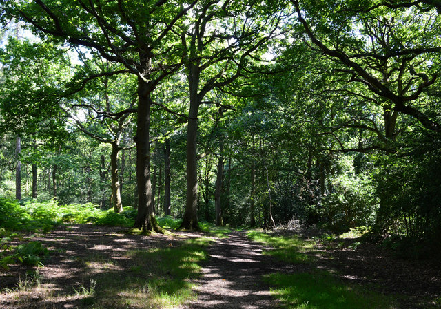
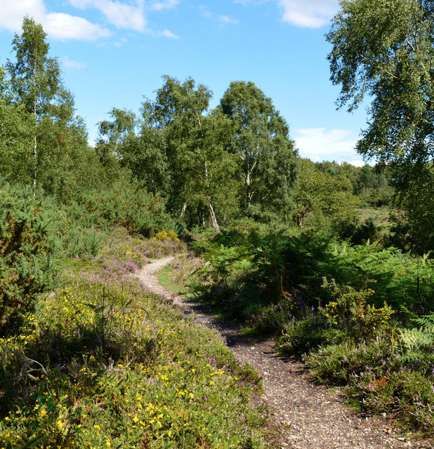
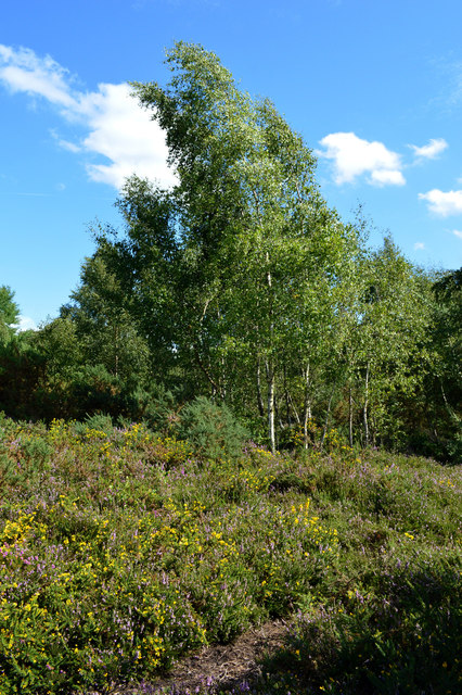
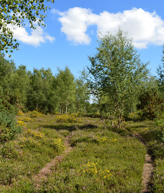
Tadley Bottom is a small village located in the county of Hampshire, England. Situated approximately 12 miles south-west of the city of Reading, it lies within the district of Basingstoke and Deane. Tadley Bottom is surrounded by beautiful countryside, with many picturesque views and natural landmarks.

The village itself is characterized by its peaceful and rural atmosphere, making it an ideal place for those seeking tranquility away from the hustle and bustle of urban life. The area is primarily residential, with a mix of traditional cottages and modern housing developments.

Tadley Bottom benefits from a range of amenities to cater to the needs of its residents. There are several local shops, including a grocery store, a post office, and a few small businesses. Additionally, there are a number of pubs and restaurants, offering a variety of dining options for locals and visitors alike.

For outdoor enthusiasts, Tadley Bottom boasts numerous opportunities for recreational activities. The nearby countryside provides ample space for walking, cycling, and exploring nature. The village is also home to several parks and green spaces, where residents can enjoy picnics or leisurely strolls in the fresh air.

Transport links to Tadley Bottom are convenient, with regular bus services connecting the village to neighboring towns and cities. The closest railway station is located in Bramley, approximately 5 miles away.

Overall, Tadley Bottom offers a tranquil and picturesque setting, making it an attractive place to live or visit for those seeking a peaceful countryside retreat.

If you have any feedback on the listing, please let us know in the comments section below.

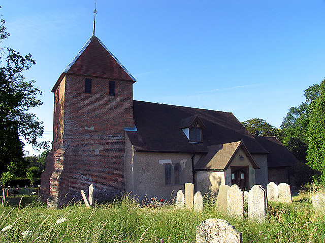
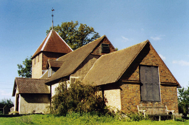
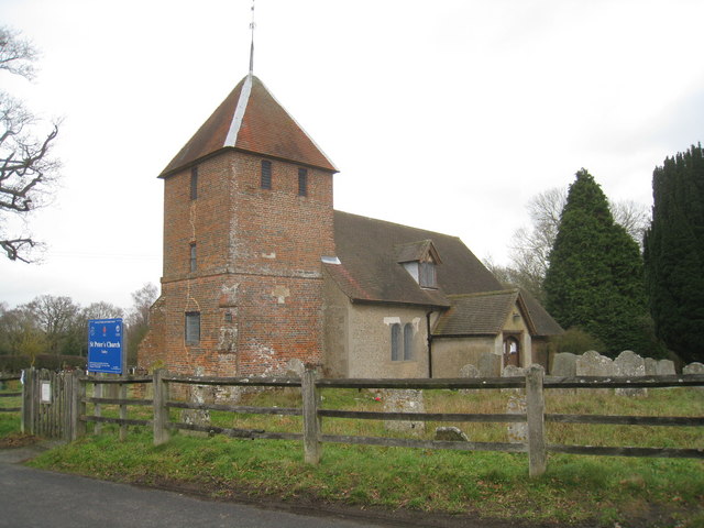
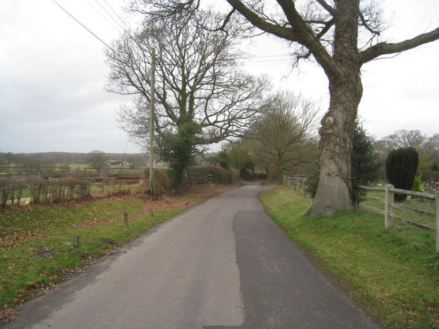
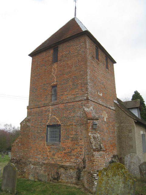
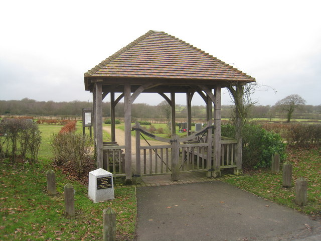
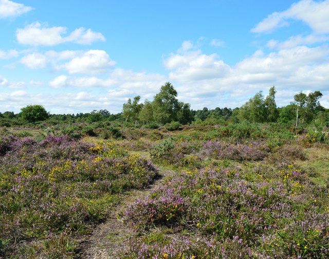
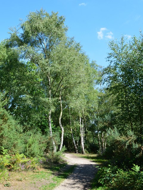
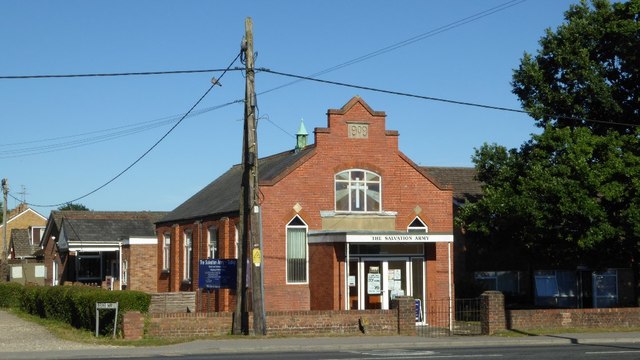
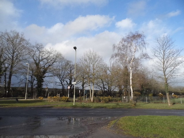
Tadley Bottom Images

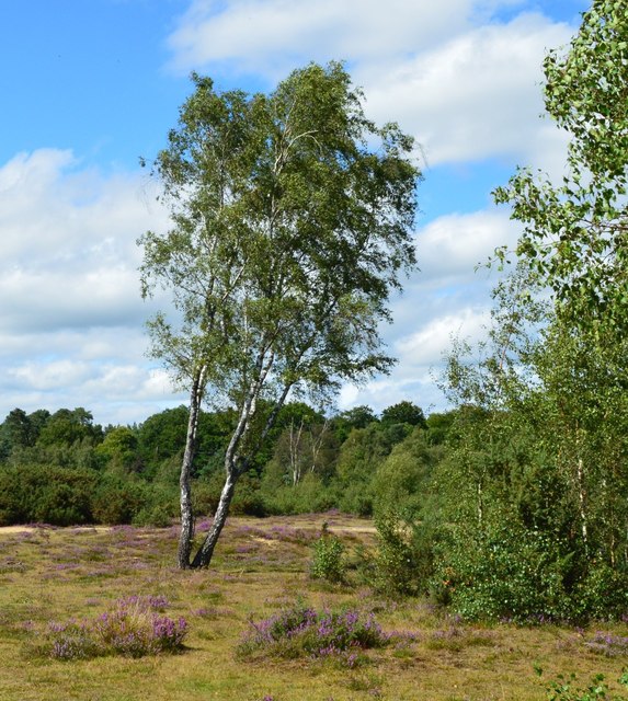
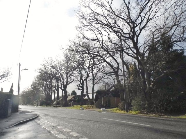
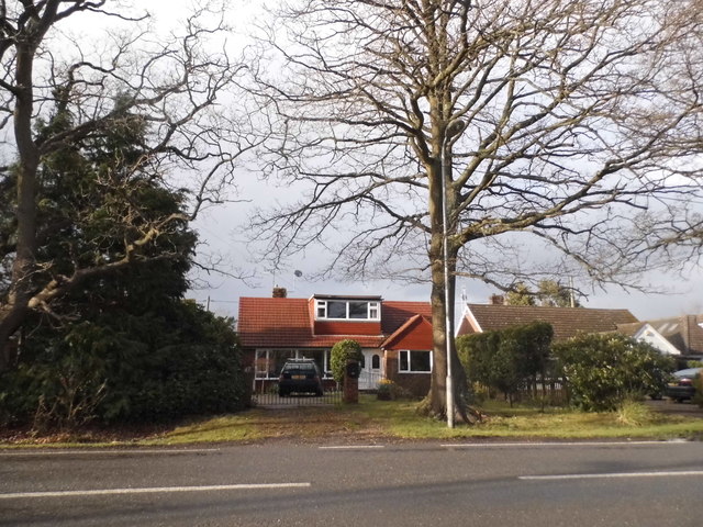
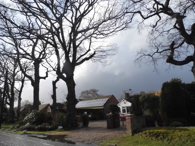
Images are sourced within 2km of 51.349395/-1.1327964 or Grid Reference SU6061. Thanks to Geograph Open Source API. All images are credited.

St Peter's near Tadley Place This square is mostly farmland but also contains the Church of St Peter. The church has a new cemetery and with a new lych gate at its entrance. This new cemetery is opposite the church.
St Peter's near Tadley Place
This square is mostly farmland but also contains the Church of St Peter. The church has a new cemetery and with a new lych gate at its entrance. This new cemetery is opposite the church.
St Peter, Tadley Grade 2 listed building erected in the 13th century.
St Peter, Tadley
Grade 2 listed building erected in the 13th century.
St Peter's Church, Tadley South of the ever expanding Tadley.
St Peter's Church, Tadley
South of the ever expanding Tadley.
Church Lane - Tadley Heading towards the village just by St Peter's Church.
Church Lane - Tadley
Heading towards the village just by St Peter's Church.
St Peter's Church, Tadley
Cemetery entrance St Peter's Church, Tadley.
Cemetery entrance
St Peter's Church, Tadley.
Heathland, Silchester Common, Hampshire
Footpath, Pamber Heath, Hampshire
Bridleway, Pamber Forest, Hampshire
Footpath, Silchester Common, Hampshire
Windy afternoon, Silchester Common, Hampshire
Tangled trees, Silchester Common, Hampshire
Leaning birch tree, Silchester Common, Hampshire
Silchester Road, Pamber Heath
Houses on Silchester Road, Pamber Heath
The Salvation Army, Tadley Church and community centre built in 1909.
The Salvation Army, Tadley
Church and community centre built in 1909.
Tadley Common Road
Tadley Common Road
Show me another place!

Tadley Bottom is located at Grid Ref: SU6061 (Lat: 51.349395, Lng: -1.1327964)

Administrative County: Hampshire

District: Basingstoke and Deane

Police Authority: Hampshire

What 3 Words

///situates.sticks.madder. Near Tadley, Hampshire

Related Wikis

Tadley

Tadley is a town and civil parish in the English county of Hampshire. During the 1950s and 1960s, the Atomic Weapons Research Establishment (AWRE), now...

Ron Ward's Meadow With Tadley Pastures

Ron Ward's Meadow With Tadley Pastures is a site of Site of Special Scientific Interest (SSSI). It is based on the edge of Tadley in Hampshire, England...

Tadley Calleva F.C.

Tadley Calleva Football Club are a football club based in Tadley, Hampshire, England. The club is affiliated to the Hampshire Football Association. The...

Pamber Forest and Silchester Common

Pamber Forest and Silchester Common is a 341.7-hectare (844-acre) biological Site of Special Scientific Interest in Tadley in Hampshire. Pamber Forest...

Nearby Amenities

Located within 500m of 51.349395,-1.1327964
Crossing
Crossing Island: yes
Kerb: lowered
Sloped Curb: yes
Lat/Long: 51.3488979/-1.1366466
Post Box
Created By: Potlatch 0.5d
Postal Code: RG26
Ref: RG26 199
Lat/Long: 51.3487359/-1.1392949
Crossing
Bicycle: no
Crossing: unmarked
Kerb: raised
Sloped Curb: no
Wheelchair: no
Lat/Long: 51.3477965/-1.1370342
Barrier: cycle_barrier
Lat/Long: 51.346976/-1.1361798
Crossing
Crossing: unmarked
Kerb: lowered
Sloped Curb: yes
Lat/Long: 51.3476045/-1.136888
Crossing
Crossing: unmarked
Kerb: lowered
Sloped Curb: yes
Lat/Long: 51.3488544/-1.1388404
Pub
The New Inn
Lat/Long: 51.3493325/-1.1339376
Morrisons Daily
Brand: Morrisons Daily
Brand Wikidata: Q99752411
Operator: McColl's
Operator Wikidata: Q16997477
Shop: convenience
Website: https://my.morrisons.com/storefinder/61206/morrisons-daily-basingstoke-giles-court
Lat/Long: 51.3503304/-1.1337903
Veterinary
GP Vets
Lat/Long: 51.3528159/-1.1307917
Atm
Lat/Long: 51.3503903/-1.1338022
Barrier: cycle_barrier
Lat/Long: 51.3484428/-1.1359121
Crossing
Crossing Island: yes
Kerb: lowered
Sloped Curb: yes
Lat/Long: 51.3485777/-1.1355434
Operator: GPSS
Pipeline: marker
Substance: oil
Support: pole
Lat/Long: 51.3484057/-1.1349177
Bus Stop
Bowmont's Bridge
Naptan AtcoCode: 1900HA010469
Naptan Bearing: W
Naptan CommonName: Bowmont's Bridge
Naptan Crossing: Fairlawn Road
Naptan NaptanCode: hamdwjwj
Naptan Street: Rowan Road
Naptan Verified: no
Source: naptan_import
Lat/Long: 51.3499413/-1.1295227
Bus Stop
Bowmont's Bridge
Bus: yes
Naptan AtcoCode: 1900HA010470
Naptan Bearing: E
Naptan CommonName: Bowmont's Bridge
Naptan Crossing: Fairlawn Road
Naptan NaptanCode: hamdwjwd
Naptan Street: Rowan Road
Naptan Verified: no
Public Transport: platform
Source: naptan_import
Lat/Long: 51.3500214/-1.1295779
Bus Stop
New Inn
Naptan AtcoCode: 1900HA010471
Naptan Bearing: W
Naptan CommonName: New Inn
Naptan Crossing: Opp Tunworth Mews
Naptan NaptanCode: hamdwgmp
Naptan Street: Rowan Road
Naptan Verified: no
Source: naptan_import
Lat/Long: 51.3490561/-1.1340591
Bus Stop
New Inn
Bus: yes
Naptan AtcoCode: 1900HA010472
Naptan Bearing: E
Naptan CommonName: New Inn
Naptan Crossing: Tunworth Mews
Naptan NaptanCode: hamdwgmj
Naptan Street: Rowan Road
Naptan Verified: no
Public Transport: platform
Shelter: yes
Source: naptan_import
Lat/Long: 51.3491332/-1.134161
Bus Stop
Rowan Road
Bus: yes
Naptan AtcoCode: 1900HA010473
Naptan Bearing: SE
Naptan CommonName: Rowan Road
Naptan Crossing: Rowan Road
Naptan NaptanCode: hamdwgdm
Naptan Street: A340 Tadley Hill
Naptan Verified: no
Public Transport: platform
Shelter: yes
Source: naptan_import
Lat/Long: 51.3489802/-1.1357442
Bus Stop
Rowan Road
Bus: yes
Naptan AtcoCode: 1900HA010474
Naptan Bearing: NW
Naptan CommonName: Rowan Road
Naptan Crossing: Hicks Close
Naptan NaptanCode: hamdwgag
Naptan Street: A340 Tadley Hill
Naptan Verified: no
Public Transport: platform
Shelter: yes
Source: naptan_import
Lat/Long: 51.3493385/-1.1367713
Bus Stop
Mulfords Hill
Bus: yes
Naptan AtcoCode: 1900HA010475
Naptan Bearing: SE
Naptan CommonName: Mulfords Hill
Naptan Crossing: Stephens Road
Naptan Landmark: Esso Garage
Naptan NaptanCode: hamdwdpa
Naptan Street: A340 Mulfords Hill
Naptan Verified: no
Public Transport: platform
Source: naptan_import
Lat/Long: 51.351103/-1.1382747
Bus Stop
Fairlawn Road
Bus: yes
Naptan AtcoCode: 1900HA010503
Naptan Bearing: NW
Naptan CommonName: Fairlawn Road
Naptan Crossing: The Green
Naptan Landmark: Tadley Hill Garage
Naptan NaptanCode: hamdwgta
Naptan Street: Tadley Hill A340
Naptan Verified: no
Public Transport: platform
Source: naptan_import
Lat/Long: 51.3452999/-1.1339691
Bus Stop
Tadley Swimming Pool
Naptan AtcoCode: 1900HAA10138
Naptan Bearing: W
Naptan CommonName: Tadley Swimming Pool
Naptan Crossing: Tadley Hill
Naptan NaptanCode: hamjmjwt
Naptan Street: New Road
Naptan Verified: no
Source: naptan_import
Lat/Long: 51.3484333/-1.1359699
Crossing
Crossing Island: yes
Kerb: lowered
Sloped Curb: yes
Lat/Long: 51.3484658/-1.1398113
Traffic Signals
Traffic Signals Direction: backward
Lat/Long: 51.3506592/-1.1379721
Traffic Signals
Traffic Signals Direction: forward
Lat/Long: 51.350736/-1.1380422
Crossing
Crossing: traffic_signals
Crossing Ref: pelican
Kerb: lowered
Sloped Curb: yes
Lat/Long: 51.3507001/-1.1380076
Crossing
Crossing: uncontrolled
Kerb: lowered
Sloped Curb: yes
Lat/Long: 51.3506193/-1.1376659
Barrier: cycle_barrier
Lat/Long: 51.3461555/-1.1341226
Crossing
Crossing: unmarked
Kerb: lowered
Sloped Curb: yes
Lat/Long: 51.3466977/-1.136173
Barrier: cycle_barrier
Lat/Long: 51.3478989/-1.136929
Crossing
Crossing Island: yes
Kerb: lowered
Sloped Curb: yes
Lat/Long: 51.3484997/-1.1358882
Crossing
Crossing Island: yes
Kerb: lowered
Sloped Curb: yes
Lat/Long: 51.3487729/-1.135486
Crossing
Crossing Island: yes
Kerb: lowered
Sloped Curb: yes
Lat/Long: 51.3488842/-1.1352839
Crossing
Crossing Island: yes
Kerb: lowered
Sloped Curb: yes
Lat/Long: 51.3488548/-1.1349548
Barrier: cycle_barrier
Lat/Long: 51.3520805/-1.1345901
Barrier: cattle_grid
Lat/Long: 51.3534096/-1.13464
Barrier: cycle_barrier
Lat/Long: 51.3477543/-1.1371082
Crossing
Crossing: unmarked
Kerb: lowered
Sloped Curb: yes
Lat/Long: 51.3479599/-1.1371557
Generator Source: solar
Location: roof
Power: generator
Lat/Long: 51.3452352/-1.1301349
The data included in this document is from www.openstreetmap.org. The data is made available under ODbL.

Have you been to Tadley Bottom?

Leave your review of Tadley Bottom below (or comments, questions and feedback).