Tadley Bottom

Valley in Hampshire Basingstoke and Deane

England

Tadley Bottom

Farringdon Way, Tadley
Farringdon Way, Tadley Credit: Oscar

Tadley Bottom, also known as Tadley Valley, is a picturesque area located in the county of Hampshire, England. Situated within the larger town of Tadley, this valley is renowned for its natural beauty and tranquil atmosphere.

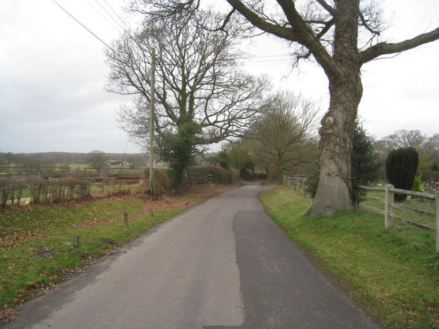
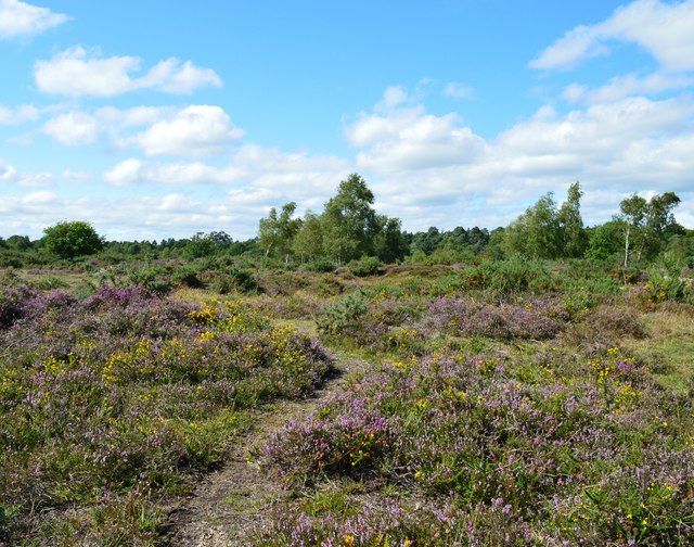
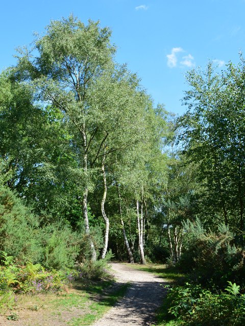
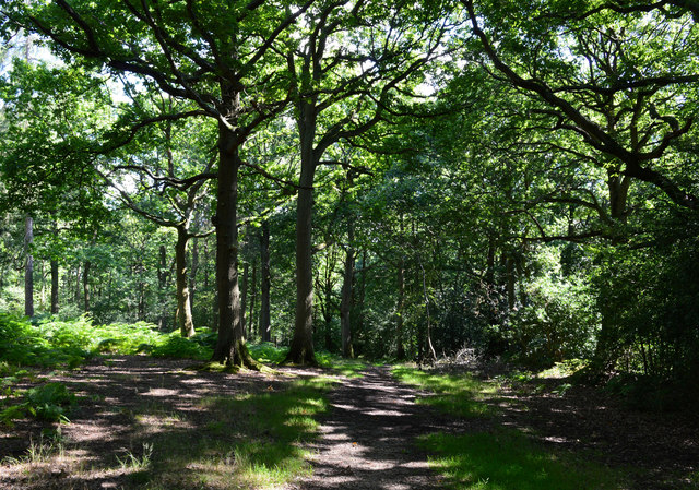
Tadley Bottom is nestled between two hills, offering a sense of seclusion and privacy to its residents and visitors. The valley is characterized by lush green fields, rolling hills, and charming wooded areas, creating a delightful rural landscape. The meandering stream that runs through the valley adds to its charm, providing a soothing babble and a habitat for various wildlife species.

The area is dotted with a mix of traditional cottages and modern houses, blending the old and the new in perfect harmony. The local community takes pride in maintaining the valley's rural character, with many residents participating in various conservation efforts to protect the natural environment.

Tadley Bottom offers an array of recreational opportunities for nature enthusiasts. The valley is crisscrossed by numerous footpaths and bridleways, providing ample opportunities for walking, hiking, and horse riding. These trails offer stunning views of the surrounding countryside, making it an ideal spot for outdoor activities and exploration.

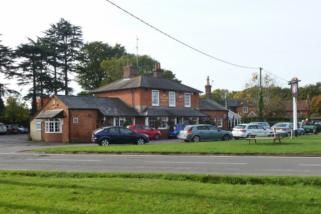
Despite its rural setting, Tadley Bottom is conveniently located close to various amenities and services. The nearby town of Tadley offers a range of shops, restaurants, schools, and healthcare facilities, ensuring that residents have easy access to everyday necessities.

In conclusion, Tadley Bottom in Hampshire is a charming and idyllic valley, boasting natural beauty, a strong sense of community, and a wealth of recreational opportunities. It is a place where residents can enjoy a serene country lifestyle while still benefiting from nearby amenities.

If you have any feedback on the listing, please let us know in the comments section below.

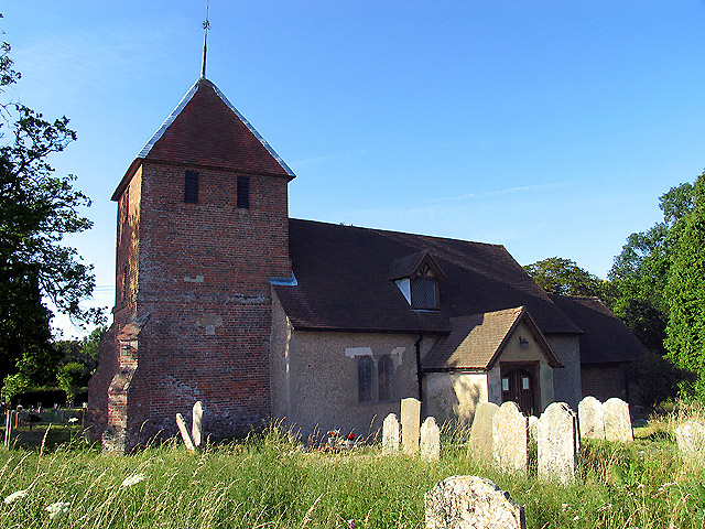
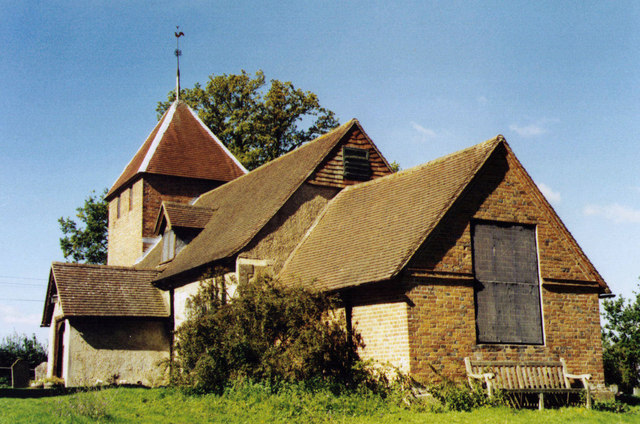
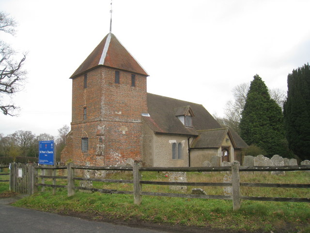
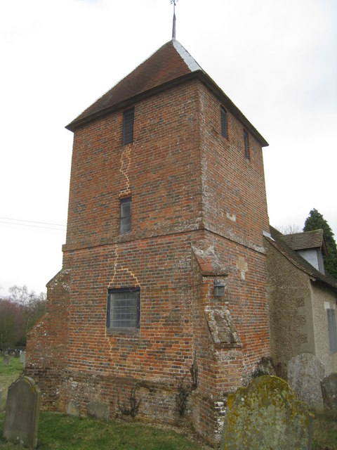
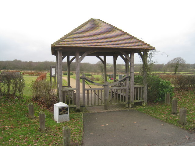
Tadley Bottom Images

Images are sourced within 2km of 51.350164/-1.1273684 or Grid Reference SU6061. Thanks to Geograph Open Source API. All images are credited.

Farringdon Way, Tadley
Rotherwick Road / Herriard Way, Tadley
Abbotswood Close, Tadley
Otterbourne Crescent, Tadley
Tadley Hill paths
Tadley Hill paths
Tadley Hill recreation ground
St Peter's near Tadley Place This square is mostly farmland but also contains the Church of St Peter. The church has a new cemetery and with a new lych gate at its entrance. This new cemetery is opposite the church.
St Peter's near Tadley Place
This square is mostly farmland but also contains the Church of St Peter. The church has a new cemetery and with a new lych gate at its entrance. This new cemetery is opposite the church.
St Peter, Tadley Grade 2 listed building erected in the 13th century.
St Peter, Tadley
Grade 2 listed building erected in the 13th century.
St Peter's Church, Tadley South of the ever expanding Tadley.
St Peter's Church, Tadley
South of the ever expanding Tadley.
Church Lane - Tadley Heading towards the village just by St Peter's Church.
Church Lane - Tadley
Heading towards the village just by St Peter's Church.
St Peter's Church, Tadley
Cemetery entrance St Peter's Church, Tadley.
Cemetery entrance
St Peter's Church, Tadley.
Heathland, Silchester Common, Hampshire
Footpath, Pamber Heath, Hampshire
Bridleway, Pamber Forest, Hampshire
Byes Lane Despite appearances, there are several houses along the lane.
Byes Lane
Despite appearances, there are several houses along the lane.
Little London Road Approaching Silchester.
Little London Road
Approaching Silchester.
The Calleva Arms, Silchester Calleva Atrebatum was the nearby Roman town.
The Calleva Arms, Silchester
Calleva Atrebatum was the nearby Roman town.
Show me another place!

Tadley Bottom is located at Grid Ref: SU6061 (Lat: 51.350164, Lng: -1.1273684)

Administrative County: Hampshire

District: Basingstoke and Deane

Police Authority: Hampshire

What 3 Words

///rewriting.unsigned.passports. Near Tadley, Hampshire

Related Wikis

Tadley

Tadley is a town and civil parish in the English county of Hampshire. During the 1950s and 1960s, the Atomic Weapons Research Establishment (AWRE), now...

Pamber Forest and Silchester Common

Pamber Forest and Silchester Common is a 341.7-hectare (844-acre) biological Site of Special Scientific Interest in Tadley in Hampshire. Pamber Forest...

Tadley Calleva F.C.

Tadley Calleva Football Club are a football club based in Tadley, Hampshire, England. The club is affiliated to the Hampshire Football Association. The...

Ron Ward's Meadow With Tadley Pastures

Ron Ward's Meadow With Tadley Pastures is a site of Site of Special Scientific Interest (SSSI). It is based on the edge of Tadley in Hampshire, England...

Pamber Heath

Pamber Heath is a village in north Hampshire, England. Situated within the civil parish of Pamber, the village lies at the north end of Pamber Forest...

Orion (laser)

The Orion Laser Facility (also known as the Orion Laser) is a high power laser facility based at the Atomic Weapons Establishment (AWE) on the former RAF...

West's Meadow, Aldermaston

West's Meadow, Aldermaston is a 1.2-hectare (3.0-acre) biological Site of Special Scientific Interest south of Aldermaston in Berkshire.The site consists...

Decoy Pit, Pools and Woods

Decoy Pit, Pools and Woods is a 17.7-hectare (44-acre) biological Site of Special Scientific Interest south of Aldermaston in Berkshire. An area of 8 hectares...

Nearby Amenities

Located within 500m of 51.350164,-1.1273684
Pub
The New Inn
Lat/Long: 51.3493325/-1.1339376
Morrisons Daily
Brand: Morrisons Daily
Brand Wikidata: Q99752411
Operator: McColl's
Operator Wikidata: Q16997477
Shop: convenience
Website: https://my.morrisons.com/storefinder/61206/morrisons-daily-basingstoke-giles-court
Lat/Long: 51.3503304/-1.1337903
Veterinary
GP Vets
Lat/Long: 51.3528159/-1.1307917
Barrier: height_restrictor
Maxheight: 2.1
Lat/Long: 51.3543862/-1.1250239
Atm
Lat/Long: 51.3503903/-1.1338022
Bus Stop
Burney Bit
Bus: yes
Naptan AtcoCode: 1900HA010467
Naptan Bearing: NE
Naptan CommonName: Burney Bit
Naptan Crossing: Hamble Drive
Naptan NaptanCode: hamdwmta
Naptan Street: Pamber Heath Road
Naptan Verified: no
Public Transport: platform
Source: naptan_import
Lat/Long: 51.3525212/-1.1264979
Bus Stop
Burney Bit
Naptan AtcoCode: 1900HA010468
Naptan Bearing: SW
Naptan CommonName: Burney Bit
Naptan Landmark: O/s 4a
Naptan NaptanCode: hamdwmpa
Naptan Street: Pamber Heath Road
Naptan Verified: no
Source: naptan_import
Lat/Long: 51.3520521/-1.1267973
Bus Stop
Bowmont's Bridge
Naptan AtcoCode: 1900HA010469
Naptan Bearing: W
Naptan CommonName: Bowmont's Bridge
Naptan Crossing: Fairlawn Road
Naptan NaptanCode: hamdwjwj
Naptan Street: Rowan Road
Naptan Verified: no
Source: naptan_import
Lat/Long: 51.3499413/-1.1295227
Bus Stop
Bowmont's Bridge
Bus: yes
Naptan AtcoCode: 1900HA010470
Naptan Bearing: E
Naptan CommonName: Bowmont's Bridge
Naptan Crossing: Fairlawn Road
Naptan NaptanCode: hamdwjwd
Naptan Street: Rowan Road
Naptan Verified: no
Public Transport: platform
Source: naptan_import
Lat/Long: 51.3500214/-1.1295779
Bus Stop
New Inn
Naptan AtcoCode: 1900HA010471
Naptan Bearing: W
Naptan CommonName: New Inn
Naptan Crossing: Opp Tunworth Mews
Naptan NaptanCode: hamdwgmp
Naptan Street: Rowan Road
Naptan Verified: no
Source: naptan_import
Lat/Long: 51.3490561/-1.1340591
Bus Stop
New Inn
Bus: yes
Naptan AtcoCode: 1900HA010472
Naptan Bearing: E
Naptan CommonName: New Inn
Naptan Crossing: Tunworth Mews
Naptan NaptanCode: hamdwgmj
Naptan Street: Rowan Road
Naptan Verified: no
Public Transport: platform
Shelter: yes
Source: naptan_import
Lat/Long: 51.3491332/-1.134161
The data included in this document is from www.openstreetmap.org. The data is made available under ODbL.

Have you been to Tadley Bottom?

Leave your review of Tadley Bottom below (or comments, questions and feedback).