Beetham

Settlement in Somerset South Somerset

England

Beetham

Newhaven Bridge Over the River Yarty, it is named on old maps. The new A303 has made it into a massive structure.
See <span class="nowrap"><a title="https://maps.nls.uk/view/101724922" rel="nofollow ugc noopener" href="https://maps.nls.uk/view/101724922">Link</a><img style="margin-left:2px;" alt="External link" title="External link - shift click to open in new window" src="https://s1.geograph.org.uk/img/external.png" width="10" height="10"/></span>  Thanks to Jon Alexander for locating the bridge via Speculative Upload.
This photo appeared among family photos from my deceased father, Alfred W. Wills, seen on the left, my uncle E. George Wills, on right, with third person unknown.  Taken on trip to North Tawton in 1938.
Newhaven Bridge Credit: Unknown. Photo from Wills family archives

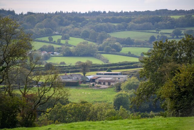
Beetham is a small village located in the county of Somerset, England. Situated on the eastern edge of the picturesque Lake District National Park, it lies approximately 8 miles north of the historic town of Kendal. The village is nestled on the banks of the River Bela, which adds to its scenic charm.

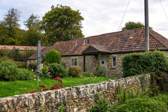
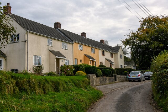
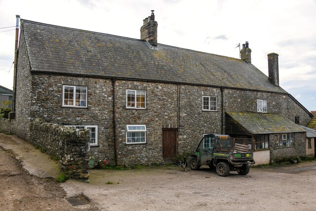
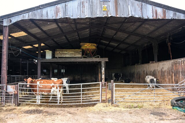
With a population of around 500 residents, Beetham has a close-knit community feel. The village is known for its traditional stone cottages and well-maintained gardens, creating an idyllic and quintessentially English atmosphere. The local economy is primarily based on agriculture and tourism, with many visitors attracted to the nearby countryside and the village's historic sites.

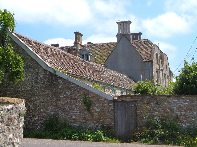
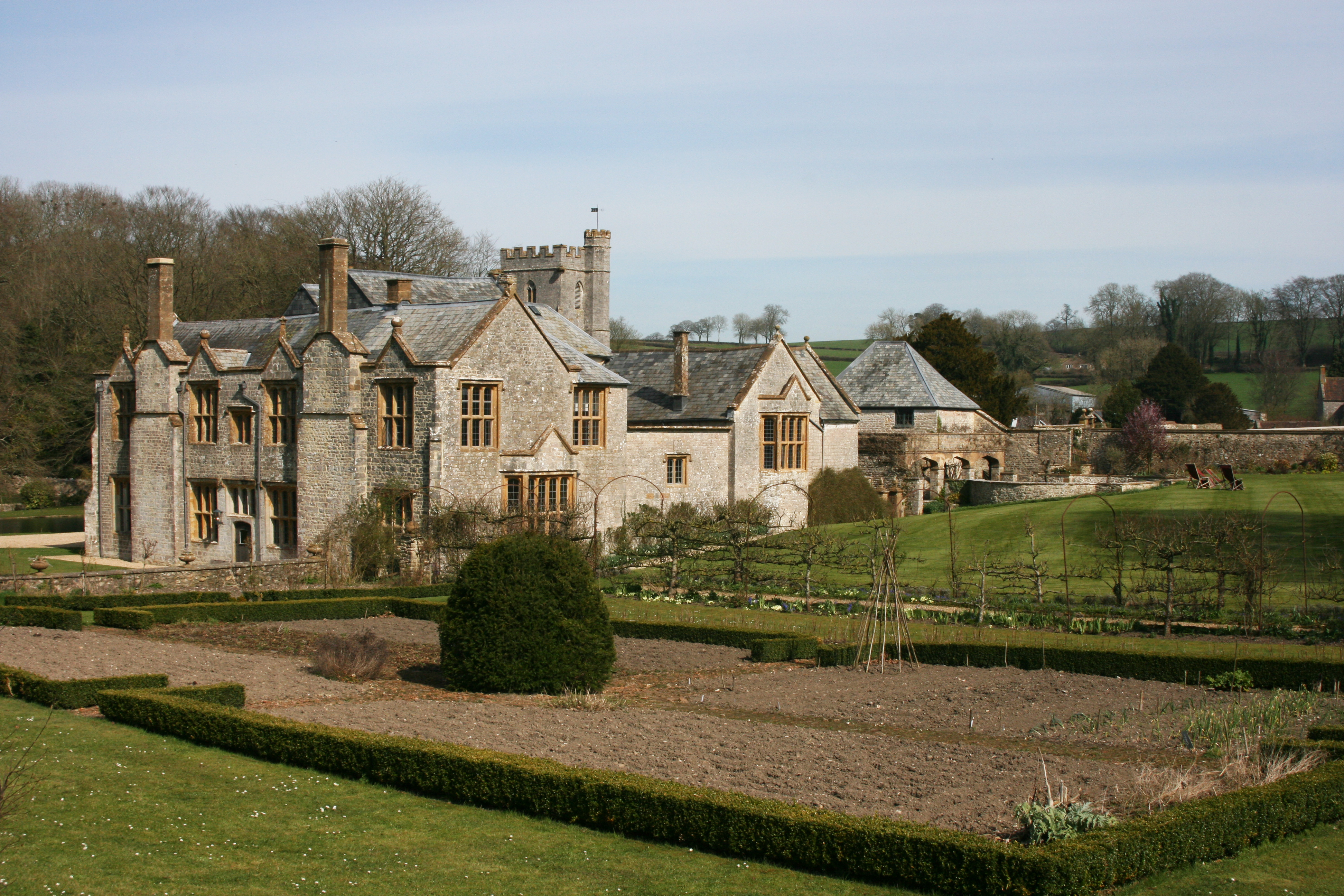
One of the notable attractions in Beetham is Beetham Hall, an impressive country house that has been converted into luxury apartments. The hall dates back to the 14th century and is surrounded by beautiful gardens, which are open to the public during certain times of the year.

Another point of interest is the Beetham Nurseries, a well-established garden center offering a wide range of plants, flowers, and gardening supplies. The nursery also includes a café and gift shop, making it a popular destination for both locals and tourists.

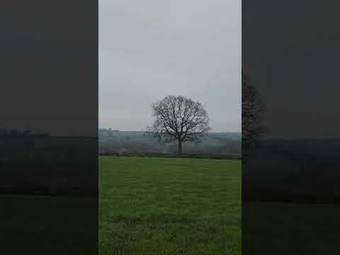
For those seeking outdoor activities, Beetham is conveniently located close to the Lake District National Park, offering opportunities for hiking, cycling, and exploring the stunning natural beauty of the region.

Overall, Beetham is a charming village that provides a peaceful retreat for residents and visitors alike, combining natural beauty with a strong sense of community.

If you have any feedback on the listing, please let us know in the comments section below.
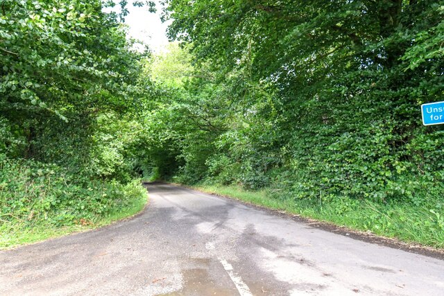
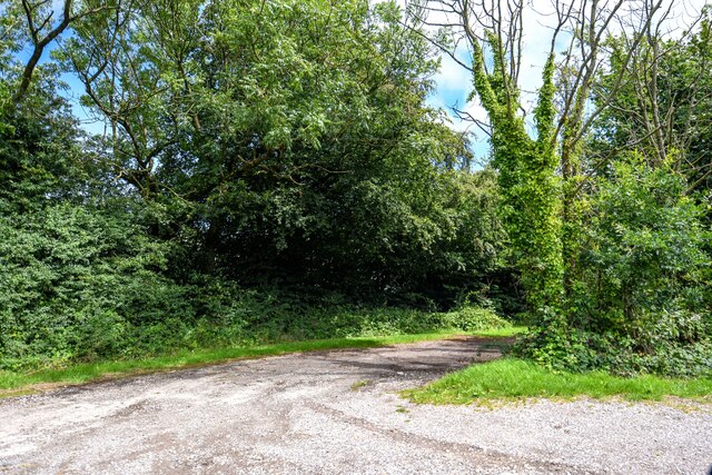
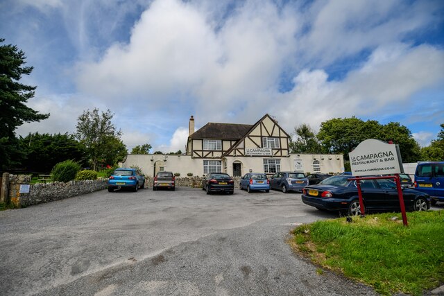
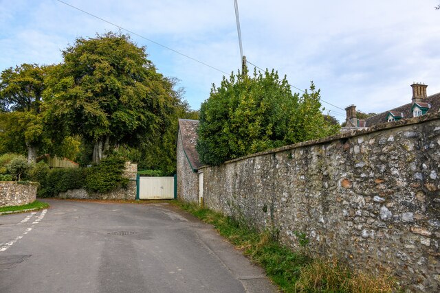
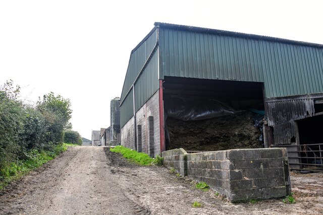
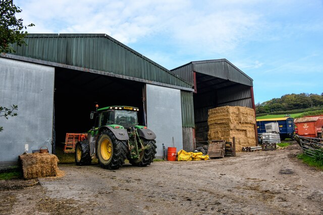
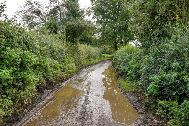
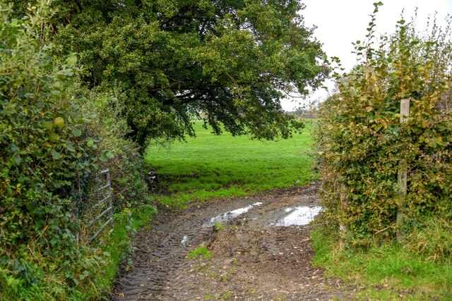
Beetham Images

Images are sourced within 2km of 50.90284/-3.0395219 or Grid Reference ST2712. Thanks to Geograph Open Source API. All images are credited.

Newhaven Bridge Over the River Yarty, it is named on old maps. The new A303 has made it into a massive structure.
See <span class="nowrap"><a title="https://maps.nls.uk/view/101724922" rel="nofollow ugc noopener" href="https://maps.nls.uk/view/101724922">Link</a><img style="margin-left:2px;" alt="External link" title="External link - shift click to open in new window" src="https://s1.geograph.org.uk/img/external.png" width="10" height="10"/></span>  Thanks to Jon Alexander for locating the bridge via Speculative Upload.
This photo appeared among family photos from my deceased father, Alfred W. Wills, seen on the left, my uncle E. George Wills, on right, with third person unknown.  Taken on trip to North Tawton in 1938.
Newhaven Bridge
Over the River Yarty, it is named on old maps. The new A303 has made it into a massive structure. See LinkExternal link Thanks to Jon Alexander for locating the bridge via Speculative Upload. This photo appeared among family photos from my deceased father, Alfred W. Wills, seen on the left, my uncle E. George Wills, on right, with third person unknown. Taken on trip to North Tawton in 1938.
Buckland St Mary : Folly Lane Folly Lane off Castlemain.
Buckland St Mary : Folly Lane
Folly Lane off Castlemain.
Buckland St Mary : Track A track off Castlemain.
Buckland St Mary : Track
A track off Castlemain.
Buckland St Mary : La Campagna An Italian restaurant off the A303.
Buckland St Mary : La Campagna
An Italian restaurant off the A303.
Buckland St Mary : La Campagna An Italian restaurant off the A303.
Buckland St Mary : La Campagna
An Italian restaurant off the A303.
Buckland St Mary : Fairend Lane Looking along a road through the village.
Buckland St Mary : Fairend Lane
Looking along a road through the village.
Buckland St Mary : Hillcrest Barn Hillcrest Barn in Buckland St Mary.
Buckland St Mary : Hillcrest Barn
Hillcrest Barn in Buckland St Mary.
Buckland St Mary : Pound Lane Looking along Pound Lane with dwellings alongside it.
Buckland St Mary : Pound Lane
Looking along Pound Lane with dwellings alongside it.
Buckland St Mary : Pound Lane Passing Pound Farm.
Buckland St Mary : Pound Lane
Passing Pound Farm.
Buckland St Mary : Pound Farm Looking towards the farmhouse from Pound Lane.
Buckland St Mary : Pound Farm
Looking towards the farmhouse from Pound Lane.
Buckland St Mary : Pound Farm Looking into one of the cattle barns.
Buckland St Mary : Pound Farm
Looking into one of the cattle barns.
Buckland St Mary : Pound Lane Passing Pound Farm.
Buckland St Mary : Pound Lane
Passing Pound Farm.
Buckland St Mary : Pound Farm Farm buildings off Pound Lane.
Buckland St Mary : Pound Farm
Farm buildings off Pound Lane.
Buckland St Mary : Pound Lane Looking along a wet looking Pound Lane.
Buckland St Mary : Pound Lane
Looking along a wet looking Pound Lane.
Buckland St Mary : Field Entrance Entry to the field and right of way off Pound Lane.
Buckland St Mary : Field Entrance
Entry to the field and right of way off Pound Lane.
Buckland St Mary : Countryside Scenery Looking across towards Cross Hill Farm.
Buckland St Mary : Countryside Scenery
Looking across towards Cross Hill Farm.
Buckland St Mary : Countryside Scenery Looking across the countryside.
Buckland St Mary : Countryside Scenery
Looking across the countryside.
Buckland St Mary : Countryside Scenery Looking across to the village.
Buckland St Mary : Countryside Scenery
Looking across to the village.
Show me another place!

Beetham is located at Grid Ref: ST2712 (Lat: 50.90284, Lng: -3.0395219)

Administrative County: Somerset

District: South Somerset

Police Authority: Avon and Somerset

What 3 Words

///print.surprised.sized. Near Chard, Somerset

Related Wikis

Long Lye Meadow

Long Lye Meadow (grid reference ST267119) is a 3.3 hectare biological Site of Special Scientific Interest at Buckland St Mary in the Blackdown Hills, Somerset...

Long Lye

Long Lye (grid reference ST265122) is an 11.7 hectare (29.0 acre) biological Site of Special Scientific Interest at Buckland St Mary in the Blackdown Hills...

Freshmoor

Freshmoor (grid reference ST280125) is an 11.2 hectare (27.7 acre) biological Site of Special Scientific Interest in Somerset, notified in 1989. Freshmoor...

Buckland St Mary

Buckland St Mary is a village and parish in Somerset, England, situated 6 miles (9.7 km) to the west of Ilminster and 8 miles (12.9 km) south of Taunton...

Church of St Mary, Buckland St Mary

The Anglican Church of St Mary in Buckland St Mary, Somerset, England was built in 1853-1863. It is a Grade II* listed building. == History == The church...

Whitestaunton Manor

Whitestaunton Manor in the village of Whitestaunton, Somerset, England was built in the 15th century as a Hall house and has been designated as a Grade...

Whitestaunton

Whitestaunton is a village and civil parish in the South Somerset district of Somerset, England. The parish includes the hamlet of Northay. It was known...

St Andrew's Church, Whitestaunton

The Church of St Andrew in Whitestaunton, Somerset, England, dates from the 13th century and has been designated as a Grade I listed building.The Perpendicular...

Related Videos

Penzance to Somerset

Taking Margot out to a Pub Carpark in Somerset!

Vanlife - First Trip

During this trip we found a name for our home. Our Iveco Daily, We shall call her Poison Ivy. Anyway, as you join us today we are ...

Arrival at Ilminster Caravan and Motorhome Club Campsite

This video will guide you from the M5 motorway south to the Ilminster Caravan and Motorhome Club Campsite. We visited ...

Small part of the walk this morning

Discover more on the adventure here: https://digitalnomadparadise.com/beetham-black-downhills-4-7-mile-walk/

Nearby Amenities

Located within 500m of 50.90284,-3.0395219
Give Way
Lat/Long: 50.9065161/-3.037262
Give Way
Lat/Long: 50.9069997/-3.0395427
Stop
Lat/Long: 50.9070221/-3.0396701
The data included in this document is from www.openstreetmap.org. The data is made available under ODbL.

Have you been to Beetham?

Leave your review of Beetham below (or comments, questions and feedback).