Beetley
Settlement in Norfolk Breckland
England
Beetley

Beetley is a small village located in the county of Norfolk, England. Situated about 20 miles west of Norwich, it falls within the Breckland district. With a population of around 1,000 residents, Beetley is known for its peaceful and rural atmosphere.
The village is surrounded by beautiful countryside and farmland, offering a picturesque setting for its inhabitants. The landscape features rolling hills, open fields, and scattered woodlands, making it an ideal spot for nature enthusiasts and walkers. The nearby River Yare adds to the charm of the area, providing opportunities for fishing and boating.
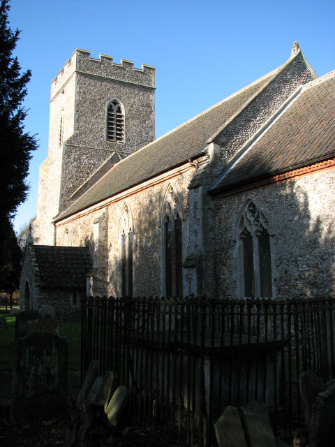
Despite its small size, Beetley has a rich history dating back to the Roman era. Several archaeological findings, including a Roman villa and artifacts, have been discovered in the vicinity. The village also boasts a Norman church, St. Mary's, which dates back to the 11th century. This historic building is a significant architectural landmark in the area.
Beetley offers a range of amenities for its residents, including a village hall, a primary school, and a local pub. The village hall hosts various community events and activities, fostering a strong sense of community spirit. The primary school provides education for children living in the village and surrounding areas.
Transport links to Beetley are relatively limited, with the nearest train station located in Dereham, approximately 6 miles away. However, the village is well-connected by road, with the A47 running nearby, allowing easy access to Norwich and other towns in the region.
Overall, Beetley offers a peaceful and idyllic countryside lifestyle, making it an attractive place to live for those seeking a rural retreat.
If you have any feedback on the listing, please let us know in the comments section below.
Beetley Images
Images are sourced within 2km of 52.7169/0.920688 or Grid Reference TF9717. Thanks to Geograph Open Source API. All images are credited.


Beetley is located at Grid Ref: TF9717 (Lat: 52.7169, Lng: 0.920688)
Administrative County: Norfolk
District: Breckland
Police Authority: Norfolk
What 3 Words
///towels.generated.dwarf. Near East Dereham, Norfolk
Nearby Locations
Related Wikis
Beetley
Beetley is a village and civil parish in the Breckland district of Norfolk, England. According to the 2011 census the parish had a population of 1,396...

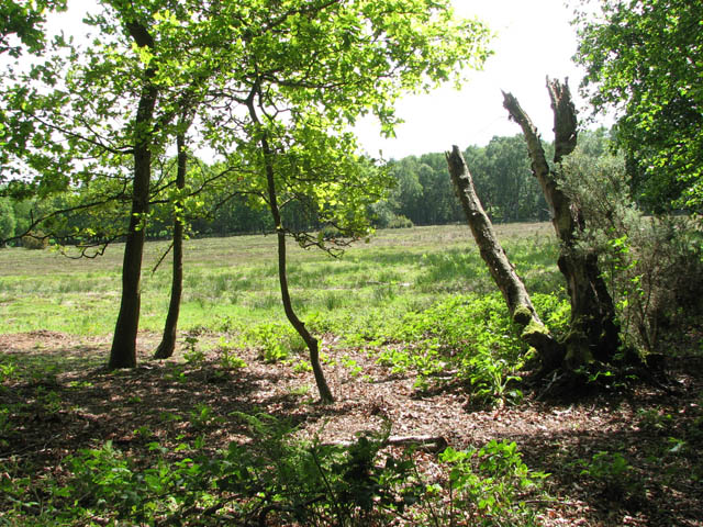
Hoe Rough
Hoe Rough is a 12-hectare (30-acre) nature reserve north of Dereham in Norfolk. It is managed by the Norfolk Wildlife Trust, and is part of the Beetley...
Beetley and Hoe Meadows
Beetley and Hoe Meadows is an 11.4-hectare (28-acre) biological Site of Special Scientific Interest north of Dereham in Norfolk, United Kingdom. The site...

Dillington Carr
Dillington Carr is a 55-hectare (140-acre) biological Site of Special Scientific Interest north of Dereham in Norfolk.This valley in a tributary of the...

Hoe, Norfolk
Hoe is a village and former civil parish, now in the parish of Hoe and Worthing, situated in Norfolk. The parish of Hoe and Worthing covers an area of...

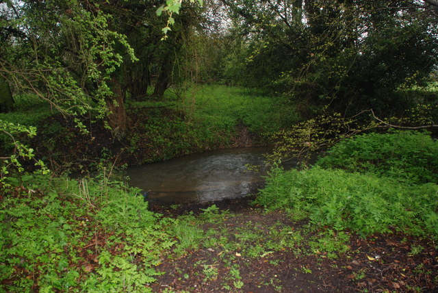
Panford Beck
Panford Beck is a minor watercourse that is entirely in the county of Norfolk, eastern England. This small short beck rises within the Parish of North...

Gressenhall
Gressenhall is a village and civil parish in the English county of Norfolk. The villages name origin is uncertain possibly 'Grassy nook of land' or 'gravelly...
Spong Hill
Spong Hill is an Anglo-Saxon cemetery site located south of North Elmham in Norfolk, England. It is the largest known Early Anglo-Saxon cremation site...
Nearby Amenities
Located within 500m of 52.7169,0.920688Have you been to Beetley?
Leave your review of Beetley below (or comments, questions and feedback).