Sutton End

Settlement in Wiltshire

England

Sutton End

Entrance to Morrisons loading bay Warminster
Entrance to Morrisons loading bay Warminster Credit: thejackrustles

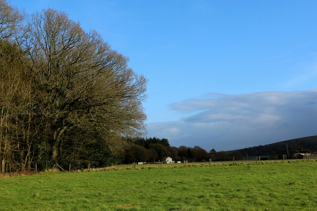
Sutton End is a small village located in the county of Wiltshire, England. Situated in the picturesque countryside, it is surrounded by rolling hills and lush green fields. The village is part of the larger civil parish of Fyfield and West Overton, and is approximately 6 miles north of the market town of Marlborough.

Sutton End is known for its charming and peaceful atmosphere, offering a tranquil escape from the bustling city life. The village is home to a tight-knit community, with a population of around 300 residents. The architecture of Sutton End reflects its rich history, with many traditional thatched cottages and stone houses dating back centuries.

Despite its small size, Sutton End boasts a few amenities that cater to the needs of its residents. The village has a local pub, where locals and visitors can enjoy a drink or a meal in a warm and inviting setting. Additionally, the nearby town of Marlborough provides access to a wider range of amenities, including shops, schools, and healthcare facilities.

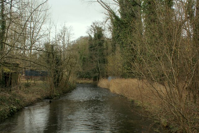
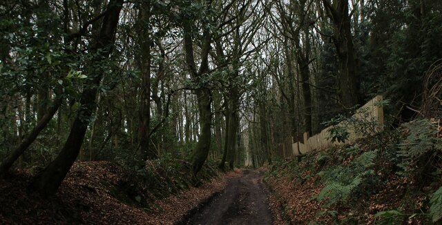
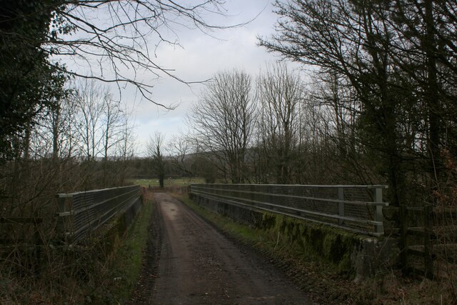
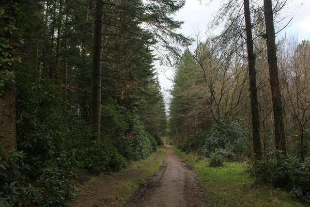
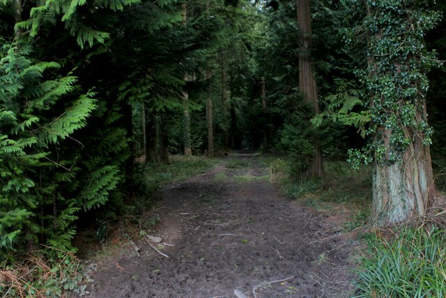
The surrounding countryside offers ample opportunities for outdoor activities and exploration. The area is crisscrossed with footpaths and bridleways, making it an ideal location for hikers, cyclists, and horse riders. Sutton End is also within close proximity to the ancient Avebury Stone Circle, a UNESCO World Heritage Site, which attracts tourists from around the world.

In conclusion, Sutton End is a charming and idyllic village in Wiltshire, offering a peaceful and picturesque retreat for residents and visitors alike. With its rich history, beautiful countryside, and sense of community, Sutton End truly captures the essence of rural England.

If you have any feedback on the listing, please let us know in the comments section below.
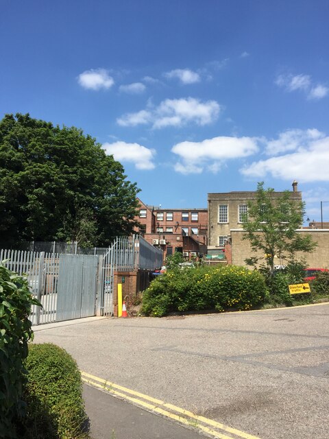
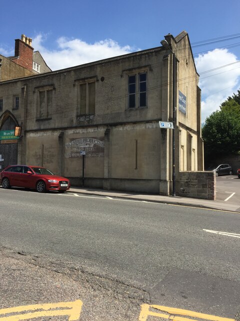
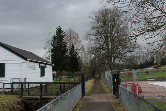
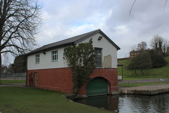
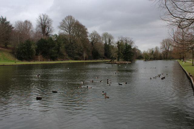
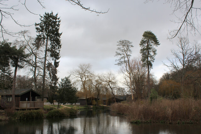
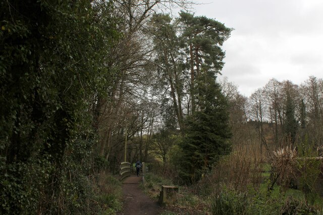
Sutton End Images

Images are sourced within 2km of 51.187428/-2.1913118 or Grid Reference ST8643. Thanks to Geograph Open Source API. All images are credited.

Entrance to Morrisons loading bay Warminster
Number 13 Weymouth Road, Warminster
OS Cut Mark - Warminster,  Number 13 Weymouth Road <span class="nowrap"><a title="https://www.bench-marks.org.uk/bm35446" rel="nofollow ugc noopener" href="https://www.bench-marks.org.uk/bm35446">Link</a><img style="margin-left:2px;" alt="External link" title="External link - shift click to open in new window" src="https://s1.geograph.org.uk/img/external.png" width="10" height="10"/></span>
OS Cut Mark - Warminster, Number 13 Weymouth Road
Beside The Were Following a footpath beside The Were or Swan River, a tributary of the Wylye. The white wooden building is the Pavilion Cafe, part of the Warminster Pleasure Grounds.
Beside The Were
Following a footpath beside The Were or Swan River, a tributary of the Wylye. The white wooden building is the Pavilion Cafe, part of the Warminster Pleasure Grounds.
The Boathouse in Warminster Pleasure Grounds The building appears to have a double purpose as a boathouse, and public conveniences.
The Boathouse in Warminster Pleasure Grounds
The building appears to have a double purpose as a boathouse, and public conveniences.
The Boating Lake, Warminster Part of the Lake Pleasure Grounds in Warminster
The Boating Lake, Warminster
Part of the Lake Pleasure Grounds in Warminster
Hunters Moon Lodges A holiday park in Henfords Marsh beside the River Wylye, near Warminster
Hunters Moon Lodges
A holiday park in Henfords Marsh beside the River Wylye, near Warminster
Footpath in Henfords Marsh The path crosses the River Wylye near Warminster
Footpath in Henfords Marsh
The path crosses the River Wylye near Warminster
River Wylye near Warminster The river slowly makes its way through Henfords Marsh
River Wylye near Warminster
The river slowly makes its way through Henfords Marsh
Track in Woodcroft Wood Bridleway heading southwards to Southleigh Woods
Track in Woodcroft Wood
Bridleway heading southwards to Southleigh Woods
Bridge over the A36 Bridleway crossing the A36 from Southleigh Wood
Bridge over the A36
Bridleway crossing the A36 from Southleigh Wood
Southleigh Wood Track heading southwards to the village of Longbridge Deverill
Southleigh Wood
Track heading southwards to the village of Longbridge Deverill
Track in Southleigh Wood
Edge of Southleigh Wood Southern edge of the woods
Edge of Southleigh Wood
Southern edge of the woods
Church of St. Peter and St. Paul, Longbridge Deverill Grade II Listed building dating back to the 11th Century, with later additions culminating with restoration in the 1800s.
Church of St. Peter and St. Paul, Longbridge Deverill
Grade II Listed building dating back to the 11th Century, with later additions culminating with restoration in the 1800s.
Longbridge Deverill Village Hall Former schoolhouse located on the main A350 in Longbridge Deverill
Longbridge Deverill Village Hall
Former schoolhouse located on the main A350 in Longbridge Deverill
The River Were (aka Swan River), Warminster Warminster = 'Church on the River Were' (were = old English for 'winding') <span class="nowrap"><a title="https://www.oxfordreference.com/view/10.1093/acref/9780199609086.001.0001/acref-9780199609086" rel="nofollow ugc noopener" href="https://www.oxfordreference.com/view/10.1093/acref/9780199609086.001.0001/acref-9780199609086">Link</a><img style="margin-left:2px;" alt="External link" title="External link - shift click to open in new window" src="https://s1.geograph.org.uk/img/external.png" width="10" height="10"/></span>
The River Were (aka Swan River), Warminster
Warminster = 'Church on the River Were' (were = old English for 'winding') LinkExternal link
Public convenience, Warminster Town Park Occupying a boathouse. The park was built in the 1920s on the site of the town's Old Refuse Tip and, as a labour-intensive scheme, helped alleviate the high unemployment after the First World War <span class="nowrap"><a title="https://wshc.org.uk/blog/item/warminster-lake-pleasure-grounds.html" rel="nofollow ugc noopener" href="https://wshc.org.uk/blog/item/warminster-lake-pleasure-grounds.html">Link</a><img style="margin-left:2px;" alt="External link" title="External link - shift click to open in new window" src="https://s1.geograph.org.uk/img/external.png" width="10" height="10"/></span>
Public convenience, Warminster Town Park
Occupying a boathouse. The park was built in the 1920s on the site of the town's Old Refuse Tip and, as a labour-intensive scheme, helped alleviate the high unemployment after the First World War LinkExternal link
Show me another place!

Sutton End is located at Grid Ref: ST8643 (Lat: 51.187428, Lng: -2.1913118)

Unitary Authority: Wiltshire

Police Authority: Wiltshire

What 3 Words

///perfectly.elevates.sling. Near Warminster, Wiltshire

Nearby Locations

Sutton End

Related Wikis

Christ Church, Warminster

Christ Church is an Anglican church building serving a parish on the southern side of Warminster, Wiltshire, England. == History == The church was built...

Warminster Town F.C.

Warminster Town Football Club are a football club based in Warminster, Wiltshire, England. They are currently members of the Western League Division One...

Shearwater (lake)

Shearwater (or Shear Water) is a man-made freshwater lake near Crockerton village, about 2+1⁄4 miles (3.6 km) southwest of the town of Warminster in Wiltshire...

Warminster Town Hall

Warminster Town Hall is a former municipal building in the Market Place of Warminster, Wiltshire, England. The structure, which served as the headquarters...

Warminster

Warminster () is a historic market town and civil parish in south-west Wiltshire, England, on the western edge of Salisbury Plain. The parish had a population...

Warminster Athenaeum

Warminster Athenaeum is a Victorian theatre in Warminster, Wiltshire, England, and a Grade II listed building. Built in Jacobean style in 1857/8 to designs...

Byne House

Byne House is a Grade II* listed house at 40 Church Street, Warminster, Wiltshire, England. It was built in 1755 for the clothier John Wansey, and is an...

St John's Church, Warminster

St John's Church, in full the Church of St John the Evangelist, is a Church of England church in the Boreham area in the south-east of the town of Warminster...

Nearby Amenities

Located within 500m of 51.187428,-2.1913118
Barrier: stile
Lat/Long: 51.1874264/-2.1849438
Barrier: stile
Lat/Long: 51.1901045/-2.1856626
Sutton End
Place: hamlet
Lat/Long: 51.1877225/-2.1912064
Post Box
Mapillary: 829987970969958
Post Box Mounting: pier
Post Box Type: lamp
Survey Date: 2020-11-04
Lat/Long: 51.184697/-2.1921487
Power: pole
Lat/Long: 51.1910767/-2.1935533
Power: pole
Lat/Long: 51.1907021/-2.1918401
Material: wood
Power: pole
Lat/Long: 51.1904625/-2.1907091
Power: pole
Lat/Long: 51.1900614/-2.1888714
Power: pole
Lat/Long: 51.1900224/-2.1868293
The data included in this document is from www.openstreetmap.org. The data is made available under ODbL.

Have you been to Sutton End?

Leave your review of Sutton End below (or comments, questions and feedback).