Sutton Farm
Settlement in Worcestershire Wyre Forest
England
Sutton Farm
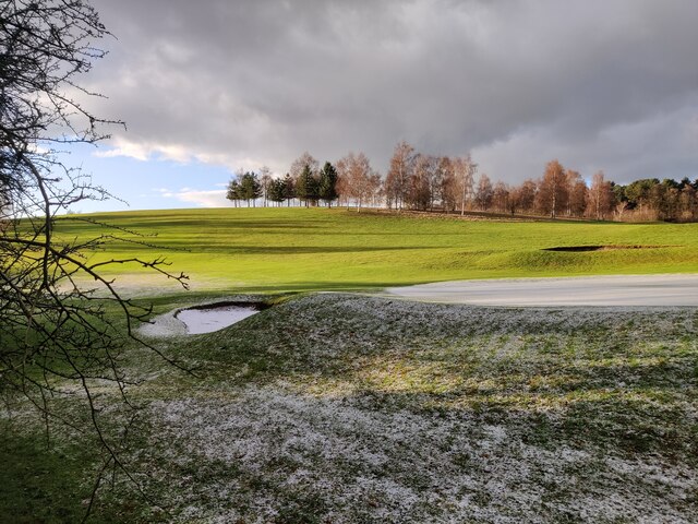
Sutton Farm is a picturesque rural village located in Worcestershire, England. It is nestled in the heart of the county, surrounded by lush green fields and rolling hills. This idyllic village is renowned for its natural beauty and tranquility, making it a popular destination for nature lovers and those seeking a peaceful retreat.
The village itself is small but charming, with a population of around 500 residents. It is characterized by its traditional English architecture, featuring quaint cottages and historic buildings. The village center is home to a few local amenities, including a small grocery store, a post office, and a village hall.
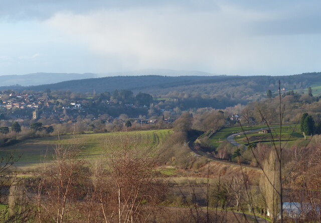
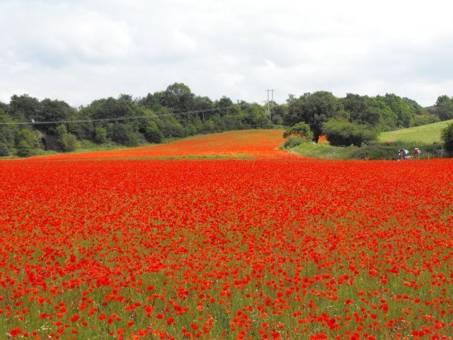
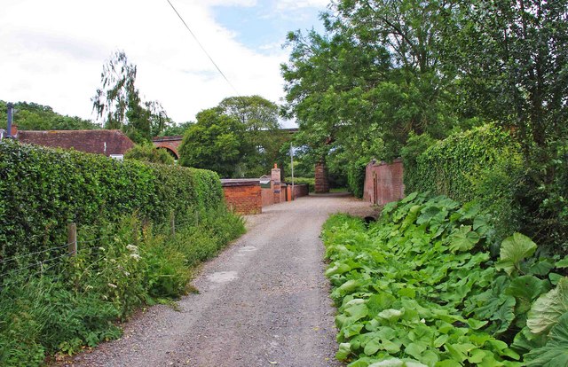
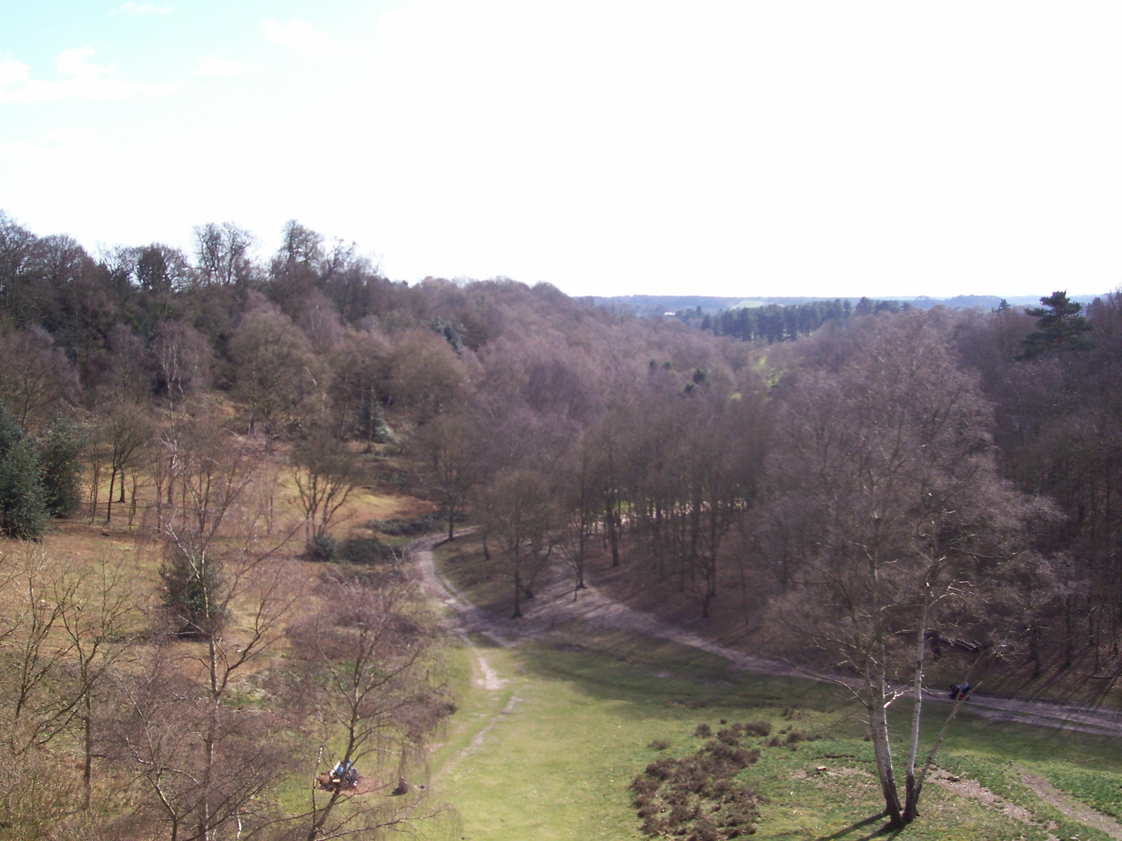
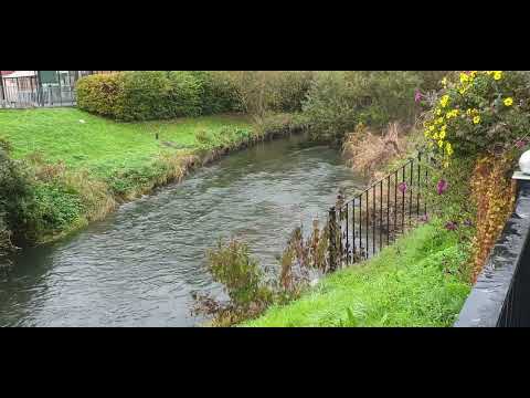
One of the highlights of Sutton Farm is its stunning countryside. The village is surrounded by sprawling farmlands, where local farmers cultivate crops and rear livestock. The scenic landscape provides a perfect backdrop for outdoor activities such as hiking, cycling, and horseback riding. There are also several walking trails that lead to nearby woodlands and nature reserves, allowing visitors to explore the area's diverse flora and fauna.
Sutton Farm is also well-known for its community spirit. The villagers actively participate in various events and festivals throughout the year, fostering a strong sense of camaraderie. The village hosts an annual summer fair, where locals and tourists come together to enjoy live music, traditional food, and funfair rides.
Overall, Sutton Farm offers a peaceful and picturesque retreat, combining natural beauty with a warm community atmosphere. It is a hidden gem in Worcestershire, providing visitors with a true taste of rural England.
If you have any feedback on the listing, please let us know in the comments section below.
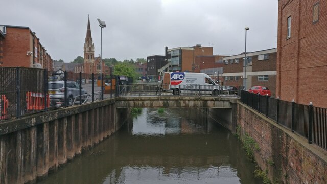
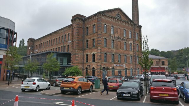
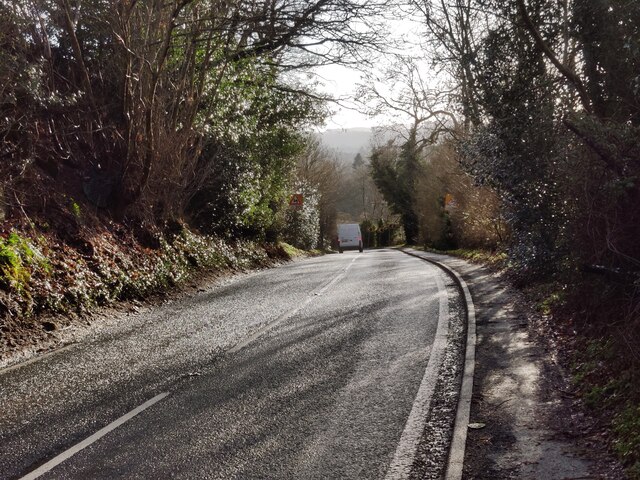
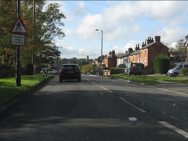
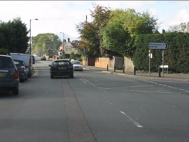
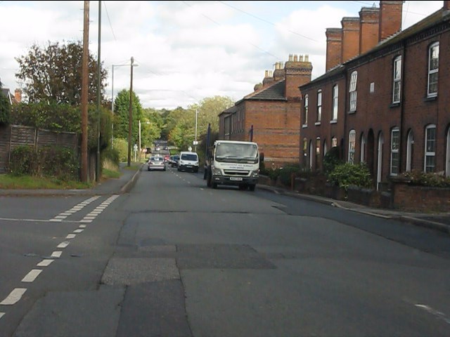
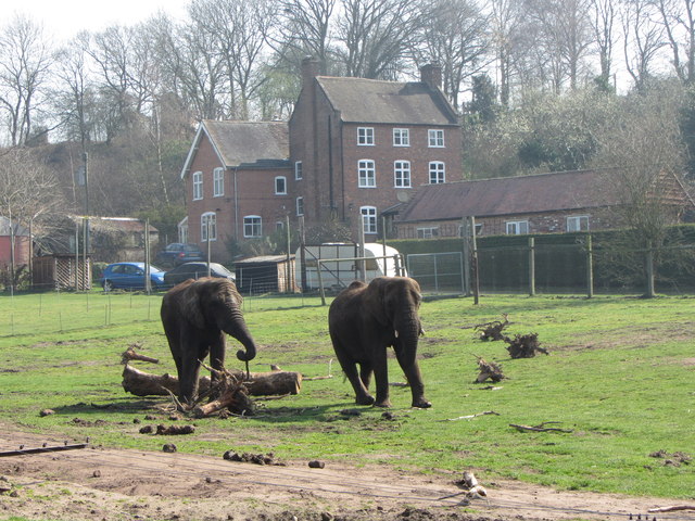
Sutton Farm Images
Images are sourced within 2km of 52.377583/-2.2727348 or Grid Reference SO8175. Thanks to Geograph Open Source API. All images are credited.
Sutton Farm is located at Grid Ref: SO8175 (Lat: 52.377583, Lng: -2.2727348)
Administrative County: Worcestershire
District: Wyre Forest
Police Authority: West Merica
What 3 Words
///hidden.deep.grab. Near Kidderminster, Worcestershire
Nearby Locations
Related Wikis

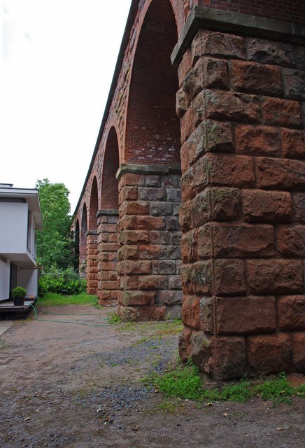
Foley Park Halt railway station
Foley Park Halt was the first stop on the GWR Kidderminster to Bewdley loop line which now forms part of the Severn Valley Railway. It was located in the...
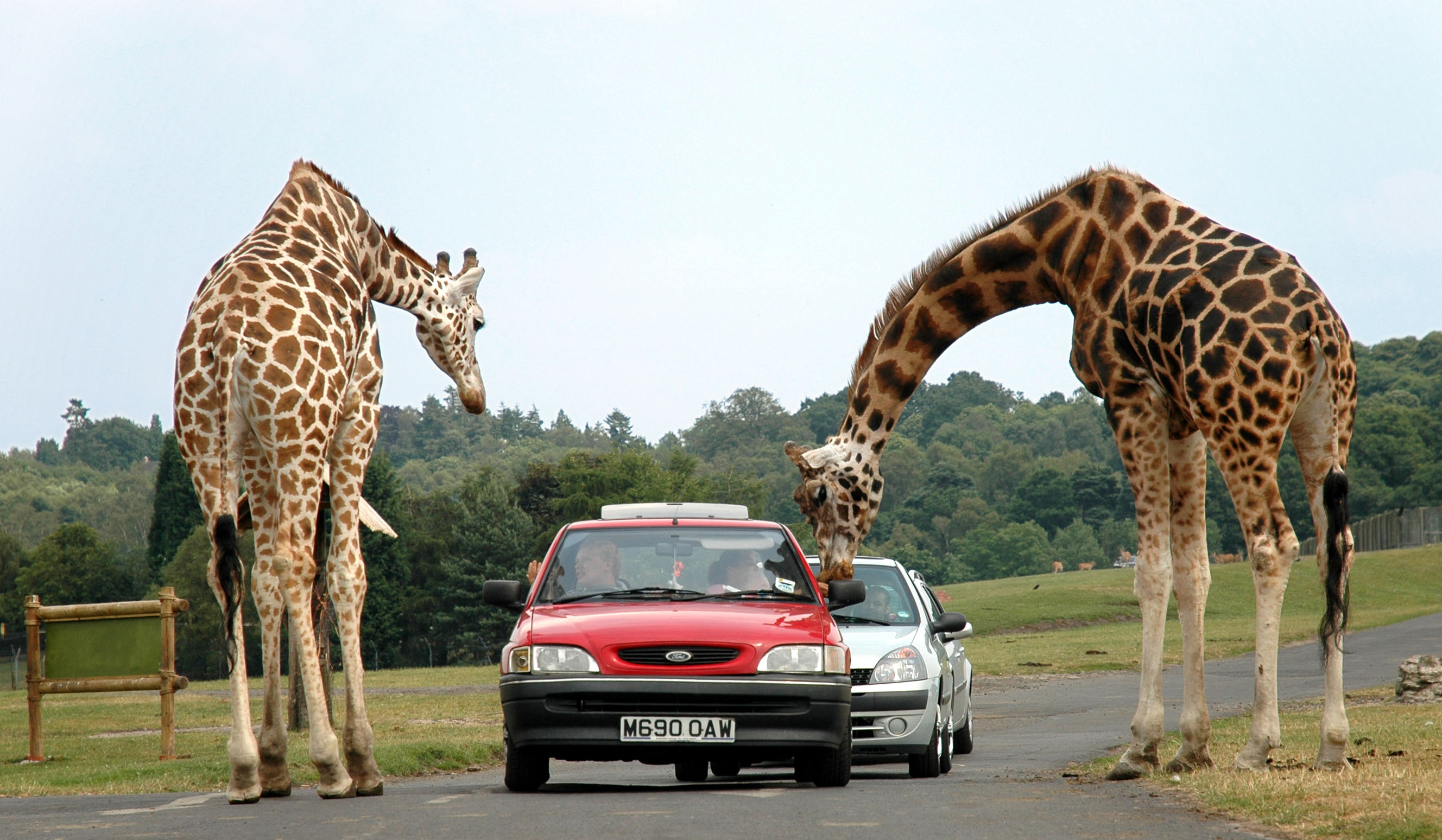
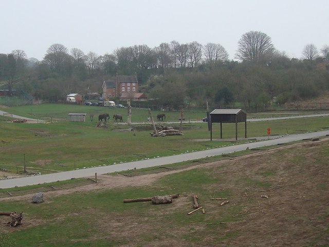
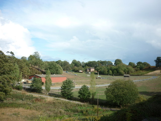
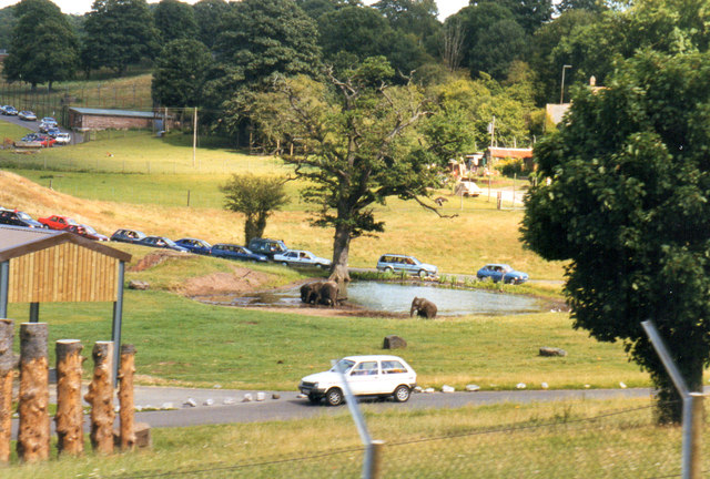
West Midland Safari Park
West Midland Safari and Leisure Park is a safari park located in Bewdley in Worcestershire, England. It was opened under the name of West Midland Safari...

Kidderminster Hospital
Kidderminster Hospital is an acute general hospital in Kidderminster in Worcestershire, England. It is managed by the Worcestershire Acute Hospitals NHS...
Baxter College
Baxter College is a mixed secondary school with academy status located in Kidderminster, Worcestershire, England. Prior to September 2002 the school was...

St John's Church, Kidderminster
St John's Church, Kidderminster is a Church of England parish church in Kidderminster, Worcestershire, England. The church is a Grade II listed building...
Habberley, Worcestershire
Habberley was one of the hamlets of the ancient parish of Kidderminster in the county of Worcestershire, England. It is now divided so that part of it...
Rifle Range Halt railway station
Rifle Range Halt was a short-lived unstaffed request stop on the GWR Kidderminster to Bewdley loop line which now forms part of the Severn Valley Railway...

Kidderminster Register Office
Kidderminster Register Office is the former Register Office for the town of Kidderminster, Worcestershire, England. As such, it was a designated venue...
Related Videos

WEST MIDLAND SAFARI PARK - Brand New African Walking Trail
Join me on a visit to West Midland Safari Park, including a 4 mile Safari Drive-Through, complete with Giraffe feeding, highlights ...


Kidderminster Worcestershire ENGLAND Walking Tour | Harvington Hall
Hello guys, thank you so much for watching. In today's video, I made a trip to Kidderminster Worcestershire England and I took a ...
🇬🇧 #Exploring #Kidderminster #City #Centre Area #England #UnitedKingdom #drivingadventure #travel
Please consider subscribing to my channel https://www.youtube.com/channel/UCGCT-O-gQkbXIG8njHX2-5A Here you can see ...
Nearby Amenities
Located within 500m of 52.377583,-2.2727348Have you been to Sutton Farm?
Leave your review of Sutton Farm below (or comments, questions and feedback).