Mayer's Green
Settlement in Staffordshire
England
Mayer's Green
Mayer's Green is a small village located in the county of Staffordshire, England. Situated about 5 miles southeast of the city of Lichfield, Mayer's Green is known for its picturesque surroundings and tranquil atmosphere.
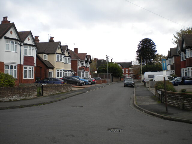
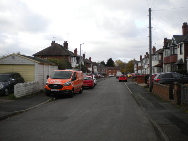
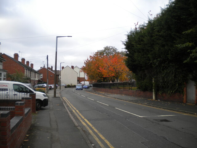
The village is characterized by its charming cottages and traditional architecture, giving it a quintessentially English feel. Surrounded by lush green fields and rolling countryside, Mayer's Green offers a peaceful and idyllic setting for residents and visitors alike.
Although small in size, the village is well-served by amenities and facilities. It boasts a local pub, The Green Inn, which is a popular gathering spot for locals and visitors seeking a traditional pub experience. Additionally, there is a small convenience store that caters to the daily needs of the community.
Mayer's Green is ideally located for those who enjoy outdoor activities. The surrounding countryside offers ample opportunities for walking, cycling, and exploring nature. The nearby Cannock Chase, an Area of Outstanding Natural Beauty, is a popular destination for hikers and nature enthusiasts.
For those seeking cultural attractions and amenities, the city of Lichfield is easily accessible. Lichfield Cathedral, a stunning medieval building, is a must-visit for history buffs, while the city center offers a range of shops, restaurants, and entertainment options.
In conclusion, Mayer's Green is a charming village in Staffordshire, offering a peaceful and picturesque setting for residents and visitors. With its traditional architecture, natural beauty, and proximity to amenities, it provides a delightful escape from the hustle and bustle of nearby urban areas.
If you have any feedback on the listing, please let us know in the comments section below.
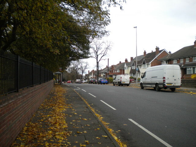
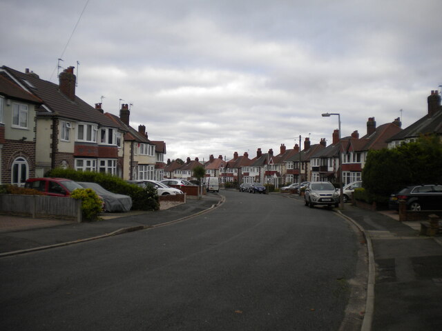
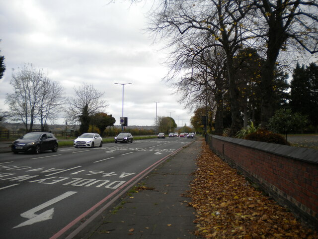
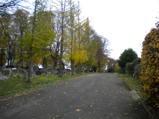
Mayer's Green Images
Images are sourced within 2km of 52.5218/-1.99982 or Grid Reference SP0091. Thanks to Geograph Open Source API. All images are credited.


Mayer's Green is located at Grid Ref: SP0091 (Lat: 52.5218, Lng: -1.99982)
Unitary Authority: Sandwell
Police Authority: West Midlands
What 3 Words
///fills.forum.bench. Near West Bromwich, West Midlands
Nearby Locations
Related Wikis

Health Futures UTC
Health Futures UTC is a University Technical College in West Bromwich, England. The UTC opened in 2015 and is sponsored by the University of Wolverhampton...
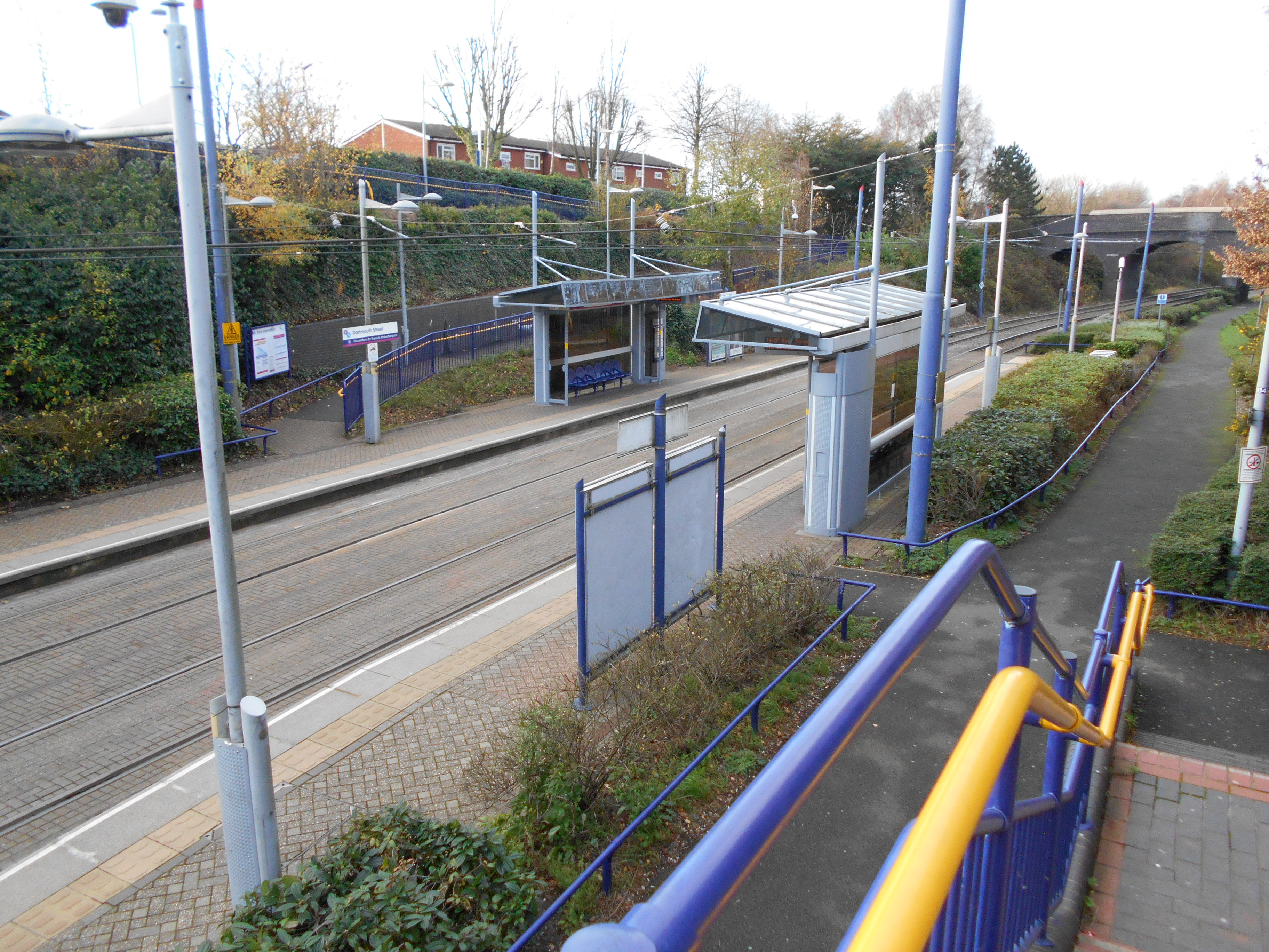
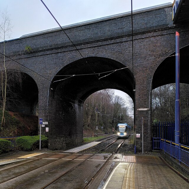
Dartmouth Street tram stop
Dartmouth Street tram stop is a tram stop in West Bromwich, Sandwell, England. It was opened on 31 May 1999 and is situated on West Midlands Metro Line...

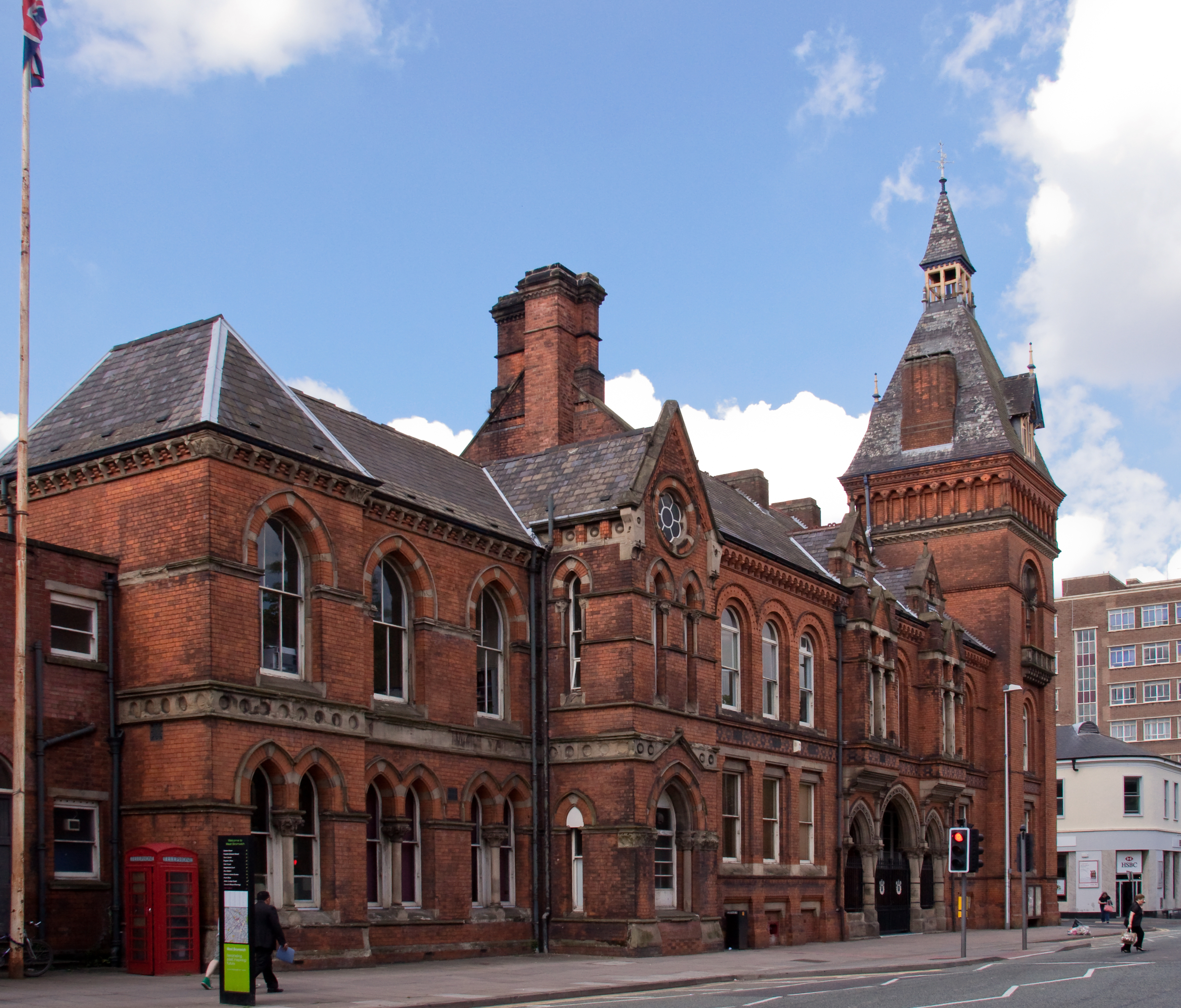
Lodge Road West Bromwich Town Hall tram stop
Lodge Road West Bromwich Town Hall tram stop is a tram stop at the western edge of West Bromwich town centre in the West Midlands, England. It was opened...
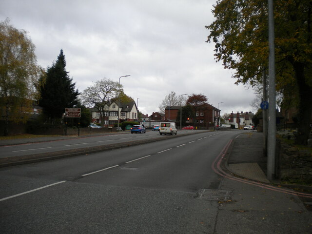
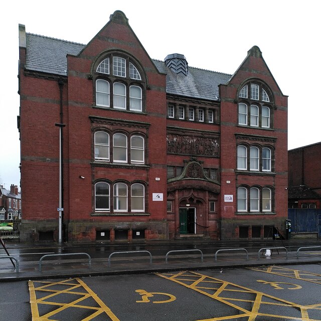
West Bromwich
West Bromwich ( BROM-itch) is a market town in the borough of Sandwell, West Midlands, England. Historically part of Staffordshire, it is 7 miles (11...
Tantany
Tantany is a residential area of West Bromwich. It is situated to the north of the town centre and consists predominantly of council housing constructed...
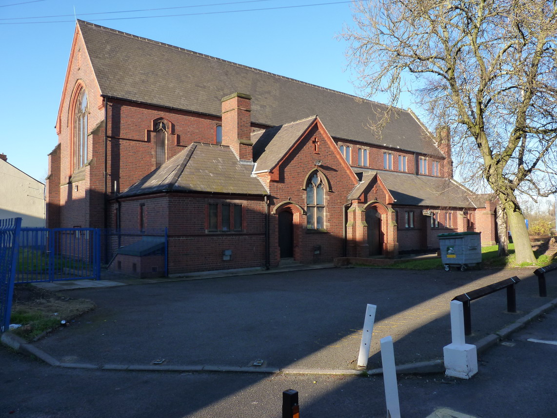
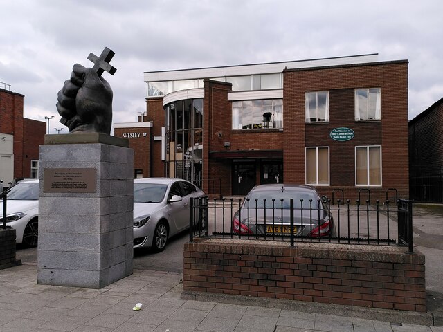
St Andrew's Church, West Bromwich
St. Andrew's Church, West Bromwich, England is part of both the Church of England and the Methodist Church through an arrangement known as a local ecumenical...
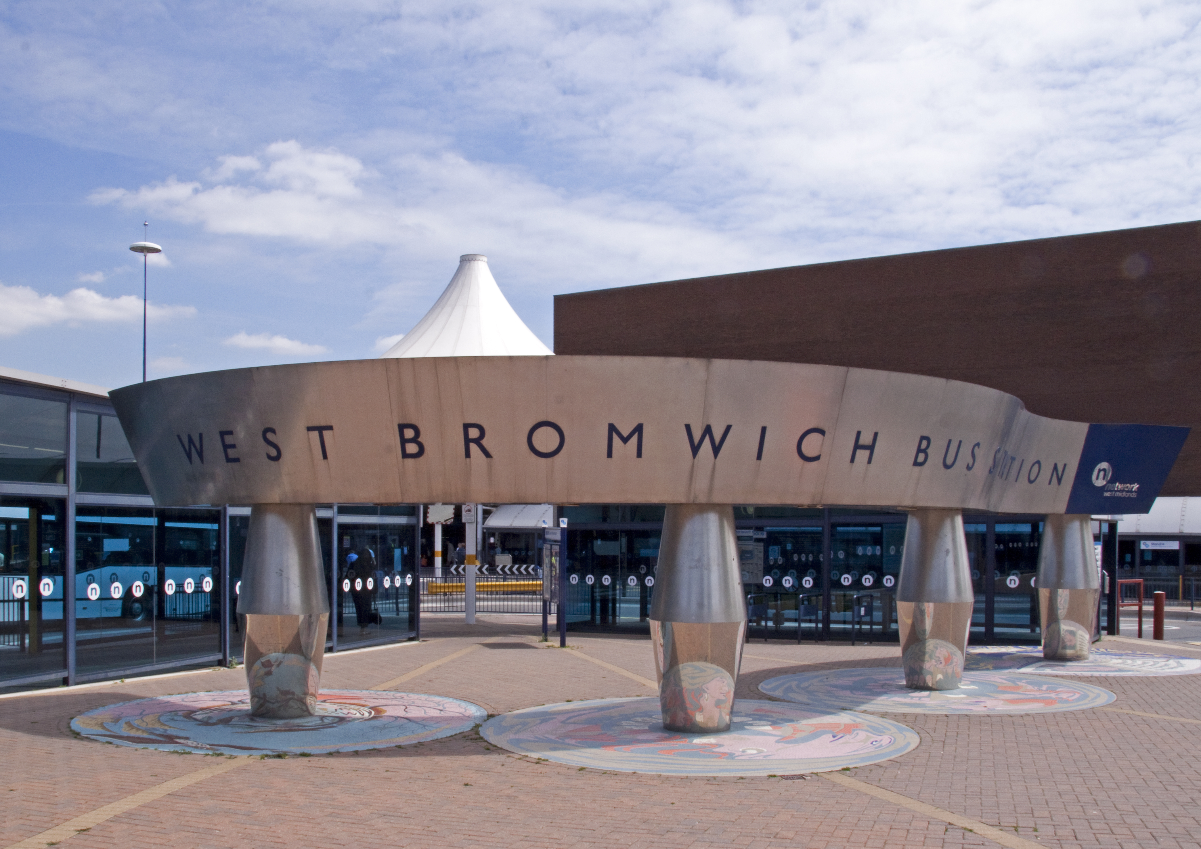
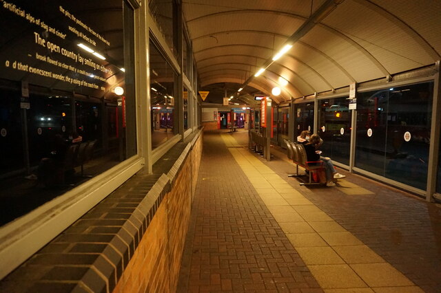
West Bromwich bus station
West Bromwich bus station is a bus interchange in the town of West Bromwich in the West Midlands of England. It is managed by Transport for West Midlands...

Bust of Phil Lynott
A bust of Phil Lynott by Luke Perry was installed in West Bromwich, West Midlands, in 2021. == References == == External links == Media related to Phil...
Nearby Amenities
Located within 500m of 52.5218,-1.99982Have you been to Mayer's Green?
Leave your review of Mayer's Green below (or comments, questions and feedback).