West Bromwich
Settlement in Staffordshire
England
West Bromwich
West Bromwich is a town located in the county of Staffordshire, England. Situated in the West Midlands, it is part of the metropolitan borough of Sandwell. With a population of around 78,000 people, West Bromwich is a bustling urban center with a rich industrial history.
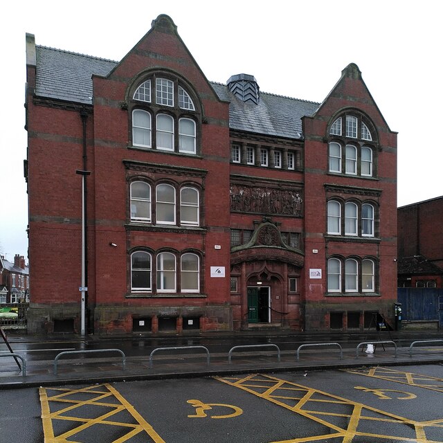
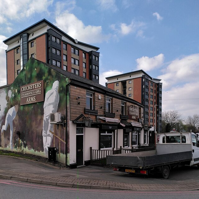
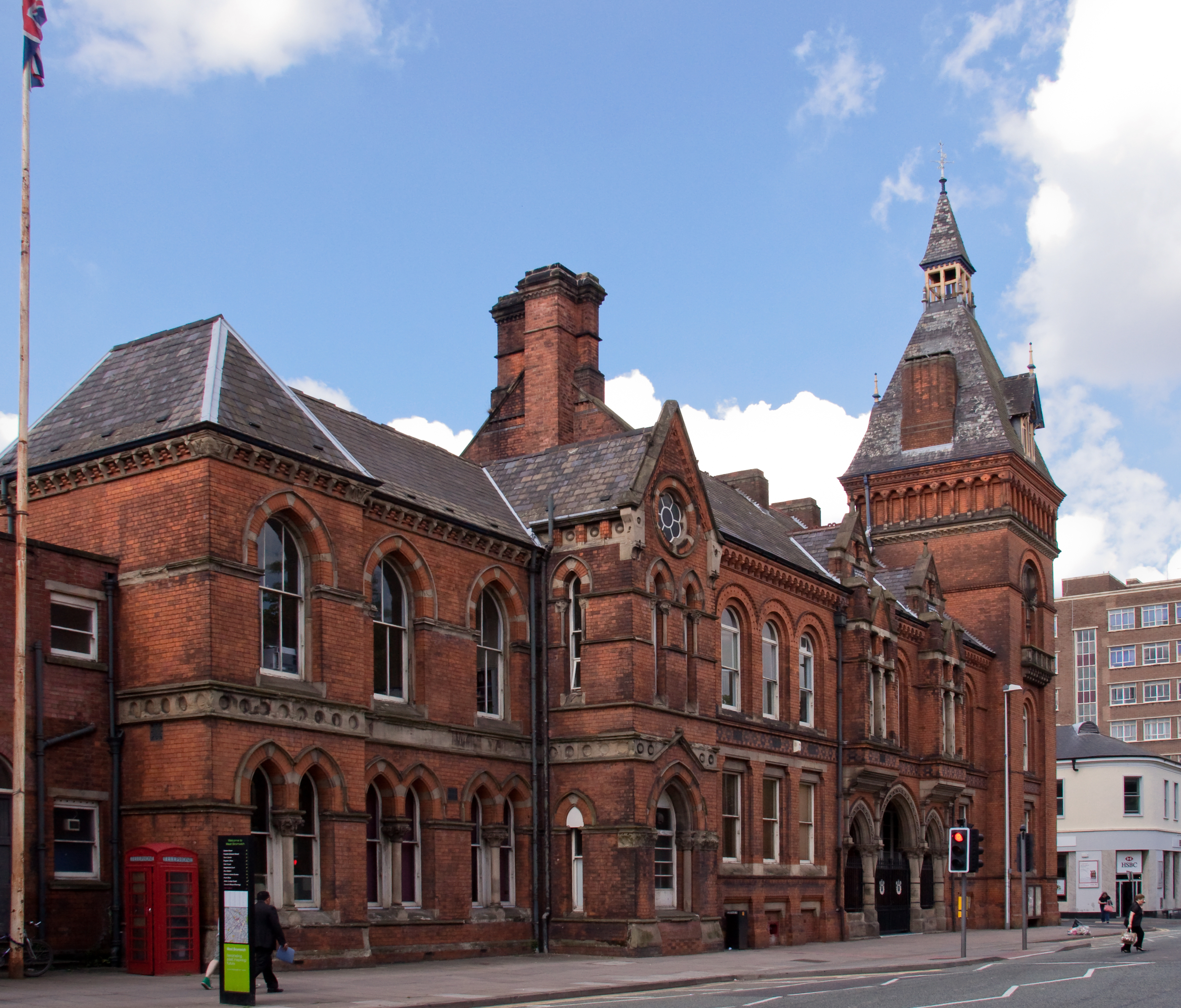
The town is known for its coal and iron ore mining, which played a significant role in its development during the Industrial Revolution. Today, remnants of this industrial past can still be seen in the form of historic buildings and landmarks. One such example is the Grade II listed West Bromwich Town Hall, an impressive Victorian structure that serves as a symbol of the town's heritage.
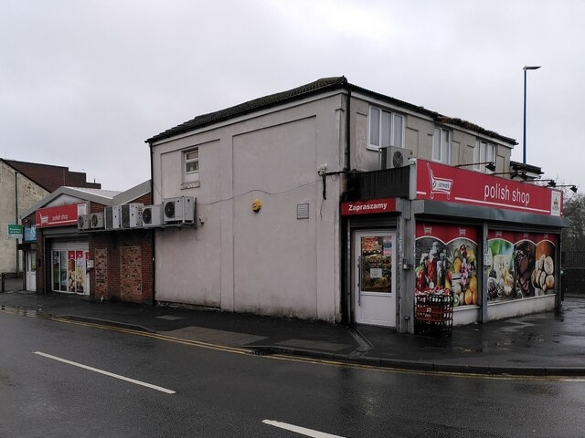
West Bromwich offers a range of amenities and facilities to its residents and visitors. The town center is home to several shopping precincts, including the popular New Square Shopping Centre, which boasts a variety of high street stores and eateries. The surrounding area also features numerous parks and green spaces, such as Dartmouth Park and Sandwell Valley Country Park, providing opportunities for outdoor recreation.
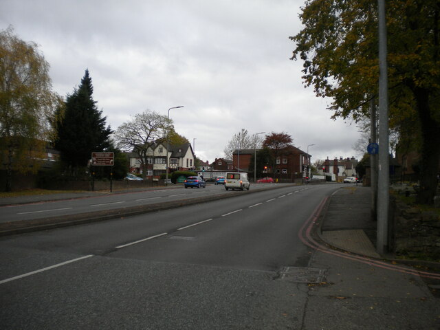
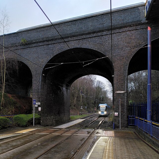
Transportation in West Bromwich is well-connected, with easy access to major road networks, including the M5 and M6 motorways. The town is also served by a number of bus routes and has its own railway station, providing links to nearby cities such as Birmingham and Wolverhampton.
In terms of education, West Bromwich has a range of primary and secondary schools, along with further education institutions and colleges. The town is also home to Sandwell College, which offers a variety of vocational courses and higher education programs.
Overall, West Bromwich is a vibrant town with a proud industrial heritage, offering a range of amenities and opportunities for its residents and visitors alike.
If you have any feedback on the listing, please let us know in the comments section below.
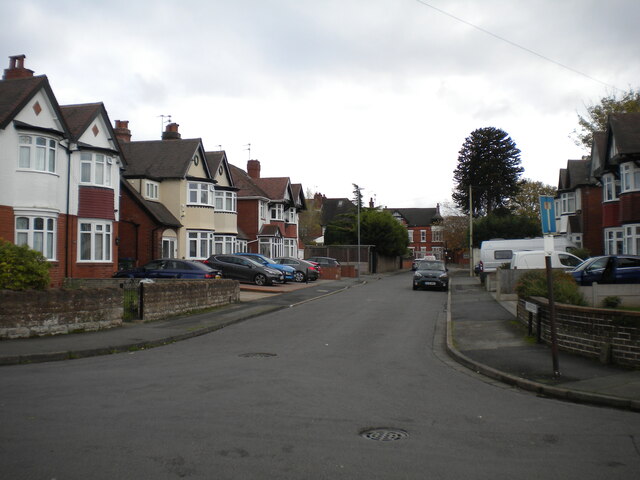
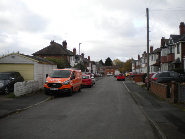
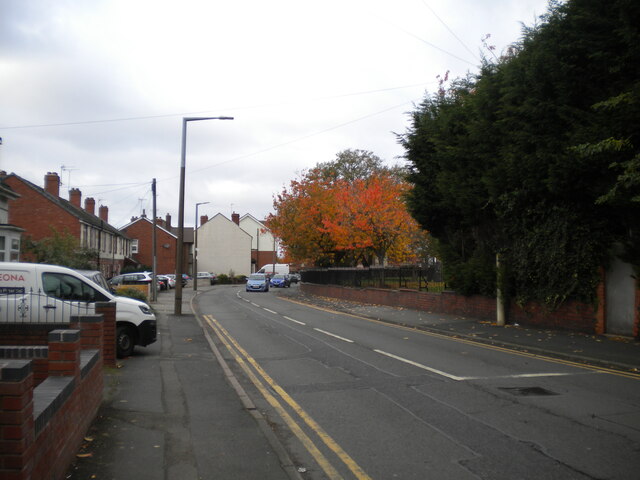
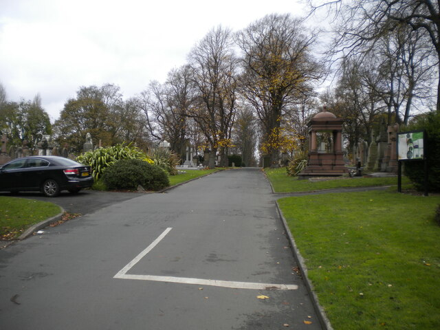
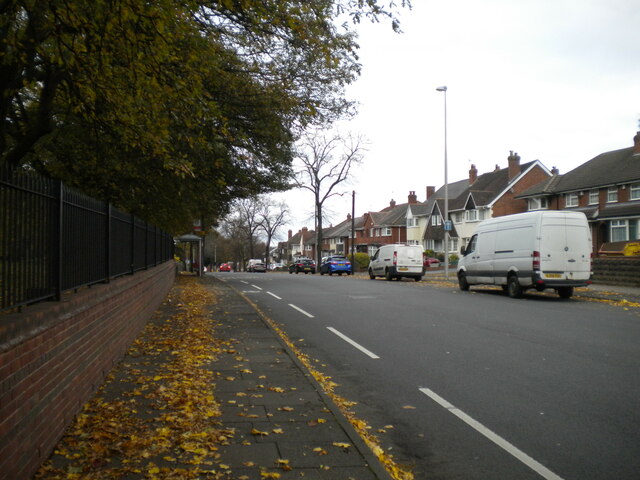
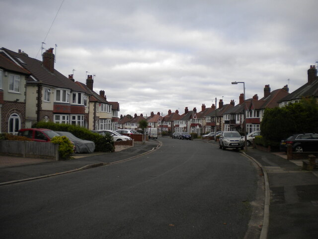
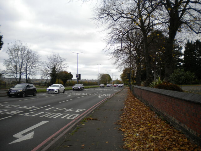
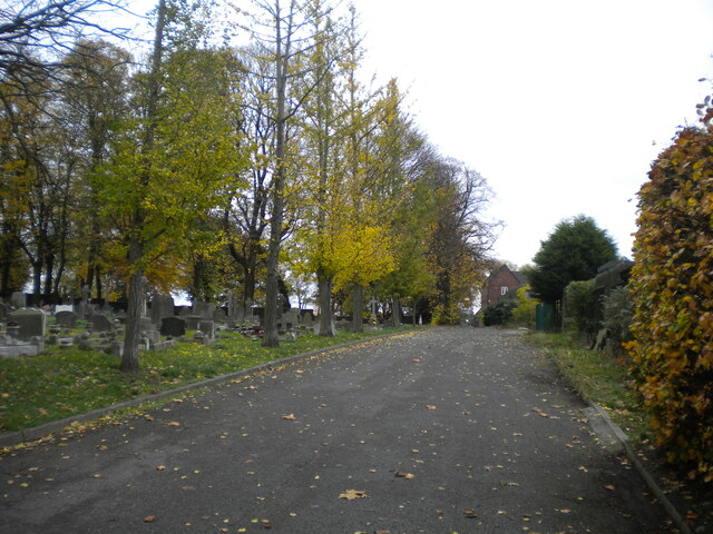
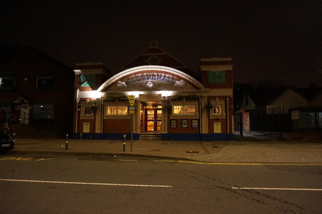
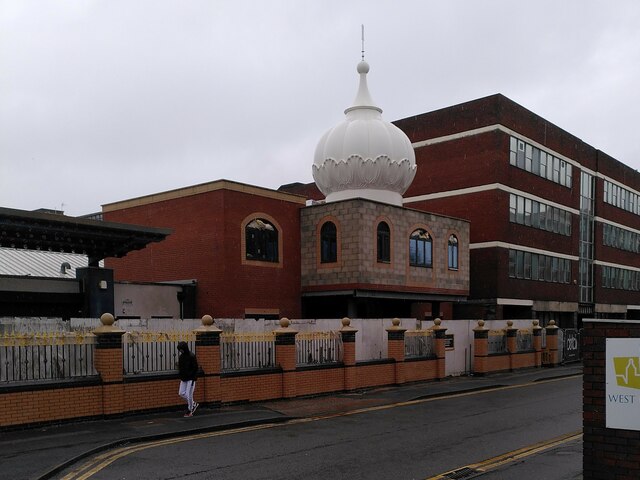
West Bromwich Images
Images are sourced within 2km of 52.520183/-1.9968615 or Grid Reference SP0091. Thanks to Geograph Open Source API. All images are credited.

West Bromwich is located at Grid Ref: SP0091 (Lat: 52.520183, Lng: -1.9968615)
Unitary Authority: Sandwell
Police Authority: West Midlands
What 3 Words
///awards.spoke.toxic. Near West Bromwich, West Midlands
Nearby Locations
Related Wikis
West Bromwich
West Bromwich ( BROM-itch) is a market town in the borough of Sandwell, West Midlands, England. Historically part of Staffordshire, it is 7 miles (11...

Health Futures UTC
Health Futures UTC is a University Technical College in West Bromwich, England. The UTC opened in 2015 and is sponsored by the University of Wolverhampton...

Lodge Road West Bromwich Town Hall tram stop
Lodge Road West Bromwich Town Hall tram stop is a tram stop at the western edge of West Bromwich town centre in the West Midlands, England. It was opened...
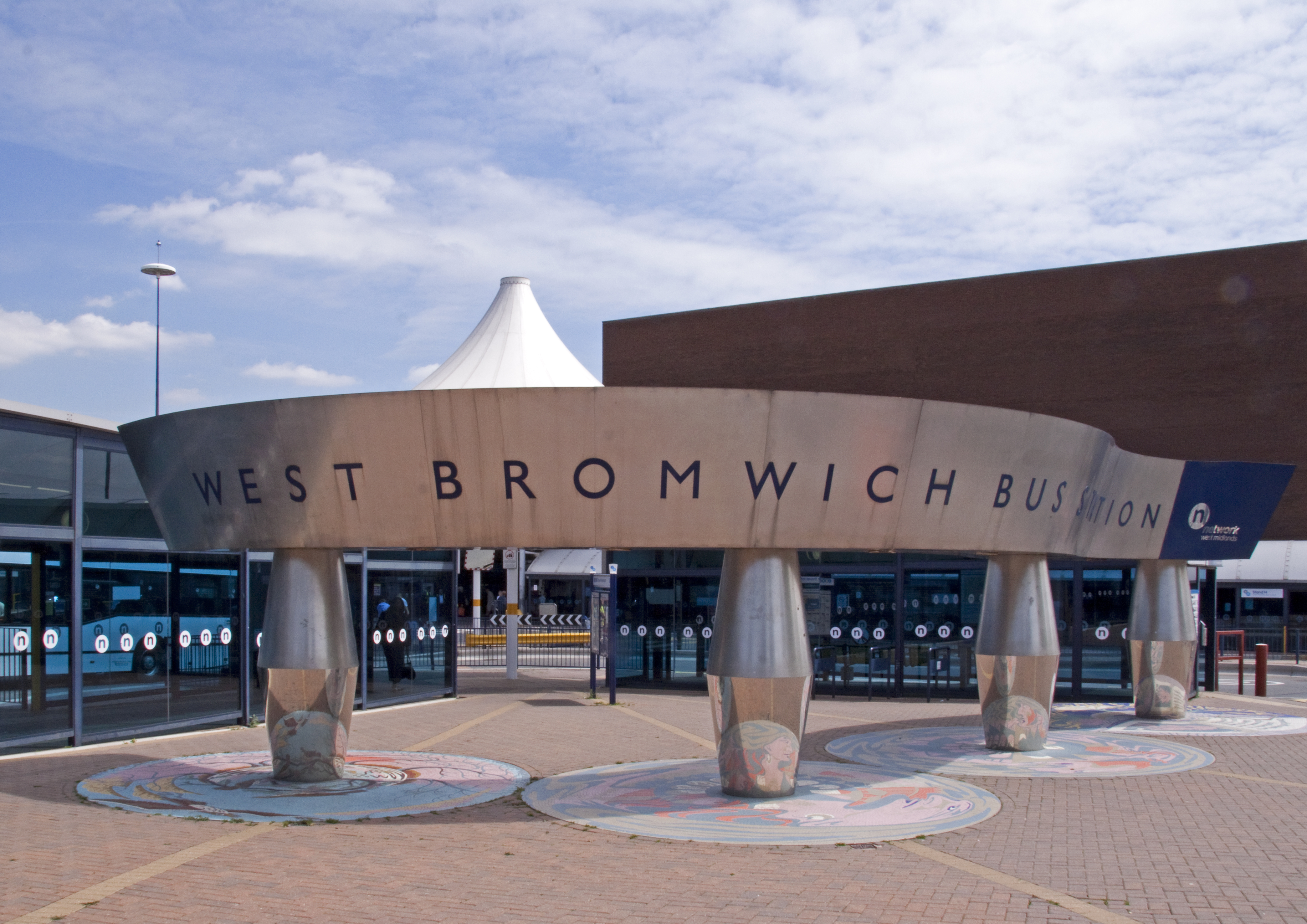
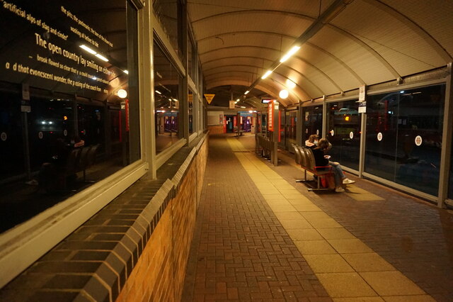
West Bromwich bus station
West Bromwich bus station is a bus interchange in the town of West Bromwich in the West Midlands of England. It is managed by Transport for West Midlands...
Nearby Amenities
Located within 500m of 52.520183,-1.9968615Have you been to West Bromwich?
Leave your review of West Bromwich below (or comments, questions and feedback).