Studholme

Settlement in Cumberland Allerdale

England

Studholme

Minor road near Little Bampton
Minor road near Little Bampton Credit: Steven Brown

Studholme is a small village located in the county of Cumberland, in the Northwest of England. Situated amidst picturesque countryside, Studholme offers a tranquil and idyllic setting for its residents and visitors alike.

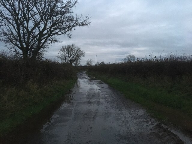
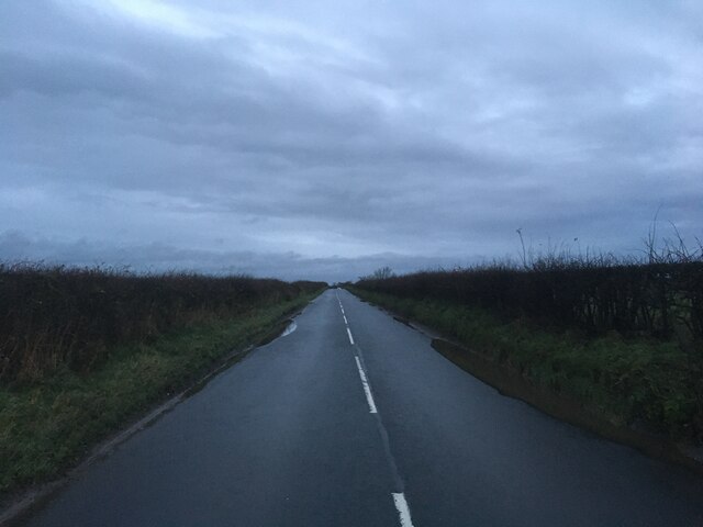
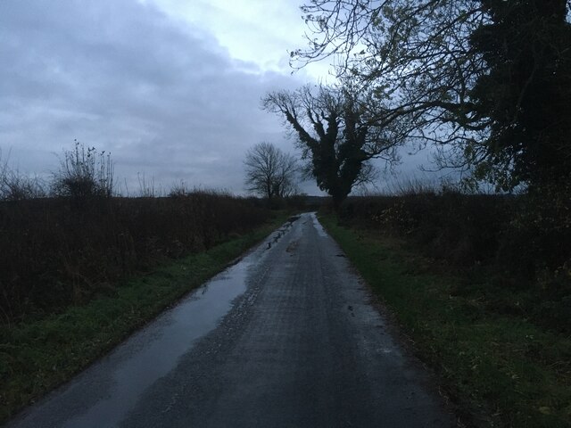
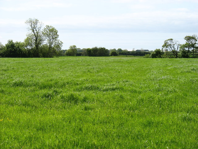
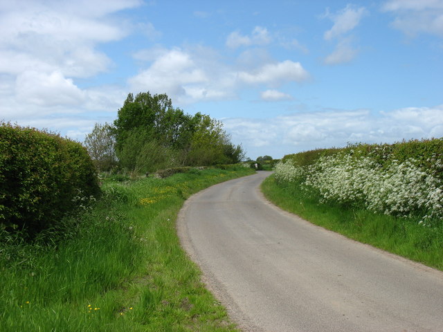
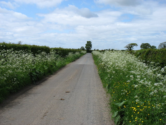
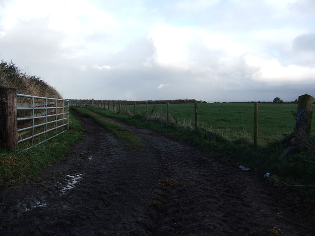
The village is characterized by its charming stone-built houses and cottages, which add to its quaint and traditional atmosphere. The surrounding landscape is predominantly rural, with rolling hills and fields stretching out in all directions. This makes Studholme a popular destination for outdoor enthusiasts, who can enjoy activities such as hiking, cycling, and horseback riding in the nearby countryside.

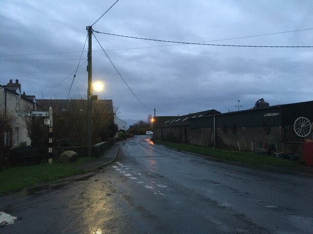
Despite its small size, Studholme boasts a strong sense of community and has a close-knit population. The village has a few essential amenities, including a local pub, a village hall, and a small convenience store that caters to the daily needs of its residents. For a wider range of amenities, the neighboring towns of Carlisle and Wigton are easily accessible by road.

Studholme is also known for its historical significance. The village is home to several architectural landmarks, including a medieval church that dates back to the 12th century. This church, along with other historic buildings, serves as a reminder of Studholme's rich heritage and adds to the charm of the village.

In conclusion, Studholme is a serene and picturesque village in Cumberland, offering a peaceful retreat from the hustle and bustle of city life. With its beautiful surroundings, strong community spirit, and historical landmarks, Studholme is a hidden gem worth exploring for those seeking a slice of rural England.

If you have any feedback on the listing, please let us know in the comments section below.
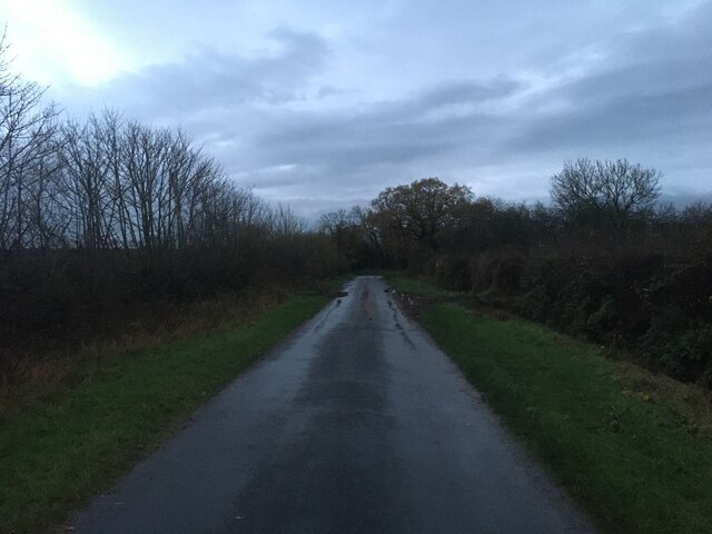
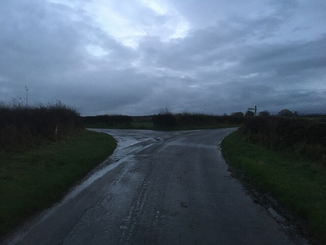
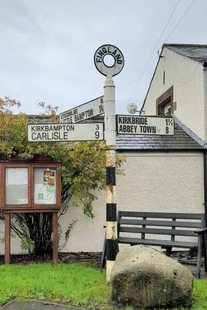
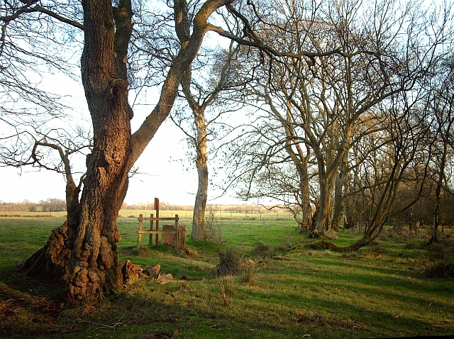
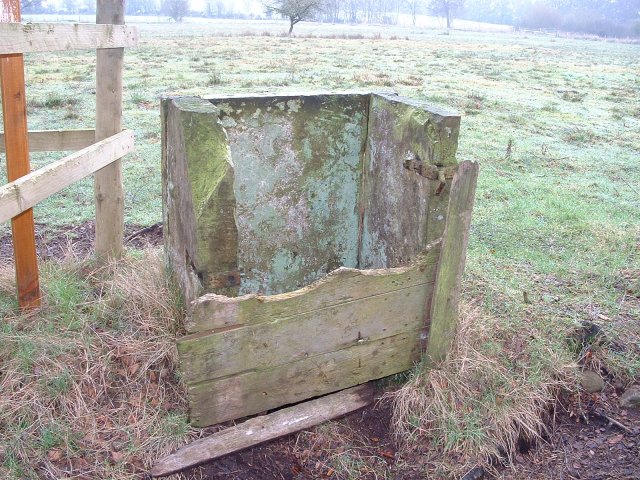
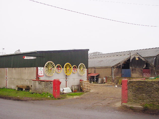
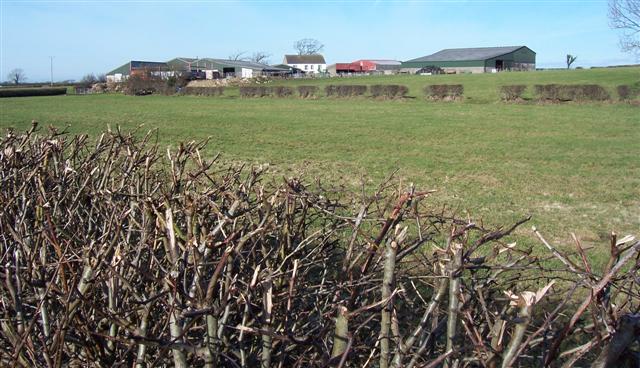
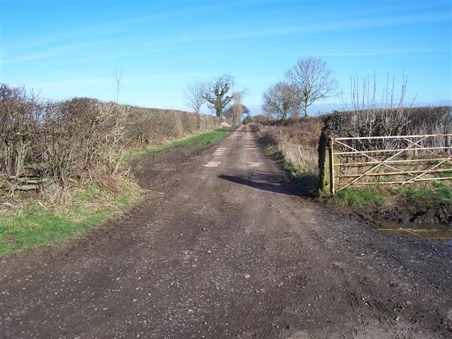
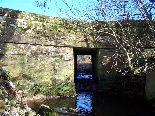
Studholme Images

Images are sourced within 2km of 54.894059/-3.1554727 or Grid Reference NY2556. Thanks to Geograph Open Source API. All images are credited.

Minor road near Little Bampton
B5307 in Fingland
B5307 in Fingland
B5307 towards Fingland
Minor road near Fingland
Minor road near Studholme
Road junction near Studholme
Direction Sign – Signpost on the B5307 in Fingland Located on the southwest side of the junction of the B5307 at Fingland. Bowness parish. 3 arms and annulus finial.

Milestone Society National ID: CU_NY2557
Direction Sign – Signpost on the B5307 in Fingland
Located on the southwest side of the junction of the B5307 at Fingland. Bowness parish. 3 arms and annulus finial. Milestone Society National ID: CU_NY2557
Chalybeate well, Finglandrigg Wood Location of the mineral spring shown here <a href="https://www.geograph.org.uk/photo/5732">NY2756 : Chalybeate Well</a> .
Finglandrigg Wood is a National Nature Reserve managed by Natural England.
Chalybeate well, Finglandrigg Wood
Location of the mineral spring shown here NY2756 : Chalybeate Well . Finglandrigg Wood is a National Nature Reserve managed by Natural England.
Fields near Whitrigglees
Minor road at The Laythes
Minor road at Lomglands Moor
Field entrance near Fingland
Chalybeate Well First recorded in 1826 this iron rich spring was considered of great importance. The water used as a remedy for lead poisoning.
Chalybeate Well
First recorded in 1826 this iron rich spring was considered of great importance. The water used as a remedy for lead poisoning.
Mid Town Farm, Fingland More colourful than most farm entrances hereabouts!
Mid Town Farm, Fingland
More colourful than most farm entrances hereabouts!
Farmland at Fingland
New Bampton Farm. This whole area does seem to look after the hedges and fields.
New Bampton Farm.
This whole area does seem to look after the hedges and fields.
Drive to westfield house. No doubt I will get comments for another road but this one has been repaired with pretty pink stone.
Drive to westfield house.
No doubt I will get comments for another road but this one has been repaired with pretty pink stone.
Bamton Beck road bridge Slow flowing due to the level ground I was attracted to this bridge because of the sound. There is a fall in the middle of the water passage making a sound like a miniature waterfall amplified because of the structure.
Bamton Beck road bridge
Slow flowing due to the level ground I was attracted to this bridge because of the sound. There is a fall in the middle of the water passage making a sound like a miniature waterfall amplified because of the structure.
Show me another place!

Studholme is located at Grid Ref: NY2556 (Lat: 54.894059, Lng: -3.1554727)

Administrative County: Cumbria

District: Allerdale

Police Authority: Cumbria

What 3 Words

///downhill.stuff.basically. Near Wigton, Cumbria

Nearby Locations

Studholme

Related Wikis

Studholme, Cumbria

Studholme is a hamlet in the English county of Cumbria. Studholme is located about a mile north-west of the village of Little Bampton. == External links... ==

Fingland

Fingland is a hamlet in the Allerdale district, in the county of Cumbria, England. Fingland is located on the B5307 road in between the villages of Kirkbride...

Little Bampton

Little Bampton is a village in Cumbria situated 6 miles outside the market town of Wigton and 8 miles west of Carlisle, England. The village comprises...

New Dykes Brow railway station

New Dykes Brow was an early, short lived railway station near Fingland, Cumbria on the Carlisle & Silloth Bay Railway & Dock Company's branch from Carlisle...

Nearby Amenities

Located within 500m of 54.894059,-3.1554727
Source: estimate
Lat/Long: 54.8975063/-3.1572835
Source: estimate
Lat/Long: 54.8977389/-3.1572706
Power: pole
Lat/Long: 54.8900325/-3.1531043
Power: pole
Lat/Long: 54.8906929/-3.1540897
Power: pole
Lat/Long: 54.8912586/-3.1549239
Power: pole
Lat/Long: 54.8916342/-3.1554947
Power: pole
Lat/Long: 54.8923437/-3.1565404
Power: pole
Lat/Long: 54.8928689/-3.1573227
Power: pole
Lat/Long: 54.8936547/-3.1585162
Power: pole
Lat/Long: 54.8944579/-3.1594612
Power: pole
Lat/Long: 54.8950149/-3.1601293
Power: pole
Lat/Long: 54.8957611/-3.1609988
Power: pole
Lat/Long: 54.8964185/-3.1617861
Power: pole
Lat/Long: 54.8908316/-3.1607959
Power: pole
Lat/Long: 54.8912865/-3.159668
Power: pole
Lat/Long: 54.8918864/-3.1581508
The data included in this document is from www.openstreetmap.org. The data is made available under ODbL.

Have you been to Studholme?

Leave your review of Studholme below (or comments, questions and feedback).