Stratfordbridge
Settlement in Gloucestershire Tewkesbury
England
Stratfordbridge

Stratfordbridge is a small village located in Gloucestershire, England. Situated on the banks of the River Avon, it is known for its picturesque scenery and charming rural atmosphere. With a population of around 500 residents, it offers a peaceful and close-knit community for its inhabitants.
The village has a rich history dating back to the medieval era, and remnants of its past can still be seen in the form of historic buildings and landmarks. One notable attraction is the Stratfordbridge Manor, a beautiful manor house that dates back to the 16th century. With its stunning architecture and well-maintained gardens, it serves as a reminder of the village's heritage.
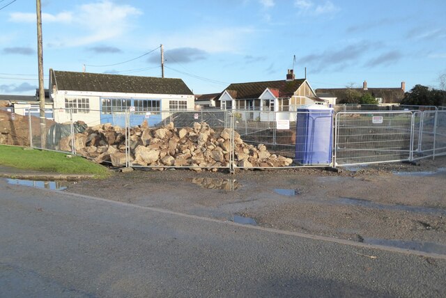
In terms of amenities, Stratfordbridge offers a range of facilities to cater to the needs of its residents. These include a village hall, a primary school, and a local pub, which serves as a social hub for the community. The village also benefits from a small selection of shops and businesses, providing essential services to its residents.
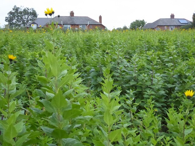
The surrounding countryside offers ample opportunities for outdoor activities, with numerous walking trails and cycling routes that showcase the area's natural beauty. The River Avon, in particular, attracts anglers and nature enthusiasts who enjoy its tranquil waters and diverse wildlife.
Overall, Stratfordbridge is a charming village that combines history, natural beauty, and a strong sense of community. Its idyllic setting and range of amenities make it an attractive place to live for those seeking a peaceful and close-knit rural lifestyle.
If you have any feedback on the listing, please let us know in the comments section below.
Stratfordbridge Images
Images are sourced within 2km of 52.046448/-2.1736453 or Grid Reference SO8838. Thanks to Geograph Open Source API. All images are credited.


Stratfordbridge is located at Grid Ref: SO8838 (Lat: 52.046448, Lng: -2.1736453)
Administrative County: Gloucestershire
District: Tewkesbury
Police Authority: Gloucestershire
What 3 Words
///anchovies.limbs.craftsman. Near Upton upon Severn, Worcestershire
Nearby Locations
Related Wikis

Naunton, Worcestershire
Naunton is a village in the parish of Ripple, near Upton-upon-Severn in Worcestershire, England. Records for Naunton date back to the 12th Century, where...

Battle of Ripple Field
The Battle of Ripple Field, fought on 13 April 1643, was an engagement in the First English Civil War. In the battle, a Royalist cavalry force led by Prince...
Ripple, Worcestershire
Ripple is a village and civil parish in the county of Worcestershire, England. Ripple is one of the most southerly parishes in the county and is situated...
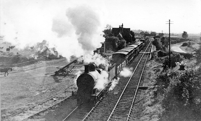
Ripple railway station
Ripple railway station was a station on the Midland Railway between Great Malvern and Evesham. It opened on 16 May 1864 by the Tewkesbury and Malvern...

Lordship of Saxons Lode
The Lordship of Saxons Lode or warlord of Saxons Lode (Old English for 'Lord of Viking's Iron') (Icelandic: Lávarður Saxa Lode, Danish: Herre af Sakserne...

Hill Croome
Hill Croome is a village, and a civil parish which covers 1000 acres, in the Malvern Hills District in the county of Worcestershire, England. Historically...

Strensham
Strensham is a village in the Wychavon district of Worcestershire. In the 2001 census, the civil parish of Strensham had a population of 314 across 127...

Strensham services
Strensham services is a motorway service station on the M5 in Worcestershire, England. It is operated by Roadchef. In August 2011, it was rated as 4 stars...
Nearby Amenities
Located within 500m of 52.046448,-2.1736453Have you been to Stratfordbridge?
Leave your review of Stratfordbridge below (or comments, questions and feedback).