Stratford Fields
Settlement in Buckinghamshire
England
Stratford Fields
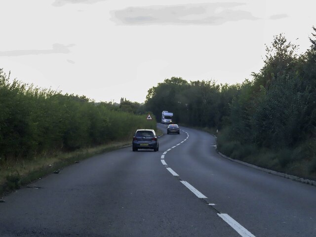
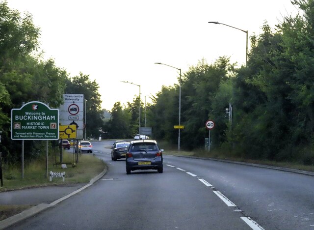
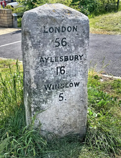
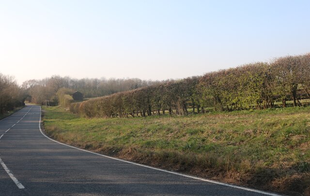
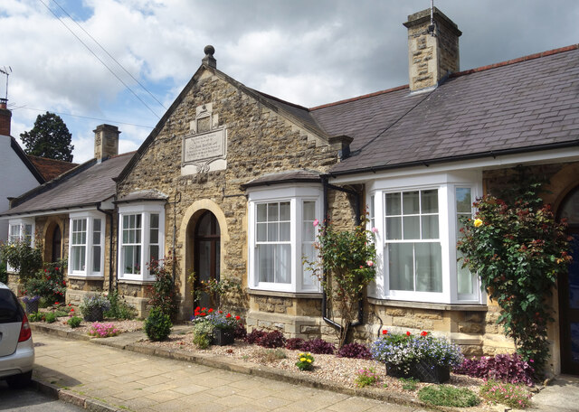
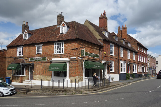
Stratford Fields is a picturesque village located in the county of Buckinghamshire, England. Situated in the Aylesbury Vale district, it is positioned approximately 6 miles east of the county town of Aylesbury. The village is nestled within a rural landscape, surrounded by rolling hills, lush green fields, and charming countryside.
Stratford Fields boasts a rich history, with evidence of human habitation dating back to ancient times. The village is home to several historic landmarks, including a beautiful 12th-century church, St. Mary's, which showcases stunning architectural features and serves as a focal point for the community.
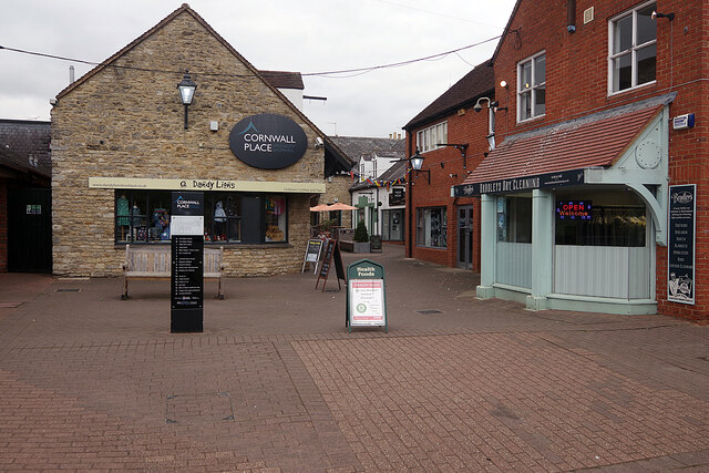
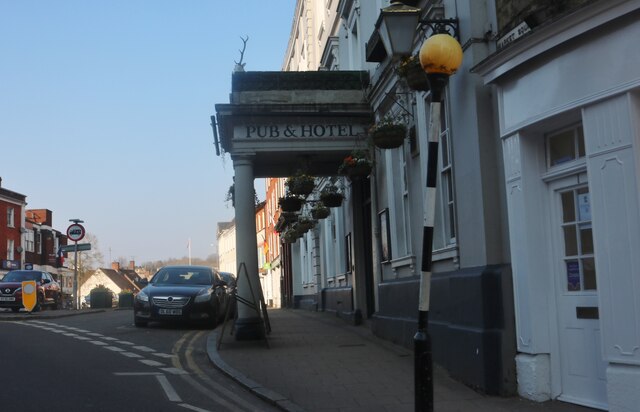
Despite its small size, Stratford Fields is a close-knit community with a strong sense of unity. The village is renowned for its friendly and welcoming atmosphere, where residents take pride in maintaining a tight-knit community spirit. The local pub, The Stratford Arms, is a popular gathering spot, serving as a hub for social interactions and community events.
The natural beauty of Stratford Fields attracts outdoor enthusiasts and nature lovers alike. The village is surrounded by an abundance of scenic walking trails, offering breathtaking views of the countryside. The nearby Chiltern Hills Area of Outstanding Natural Beauty provides opportunities for hiking, cycling, and exploring the stunning landscapes.
Despite its rural setting, Stratford Fields benefits from excellent transport links. The A41 road runs close by, connecting the village to Aylesbury and nearby towns. In addition, the village has access to reliable public transportation, ensuring easy connectivity to surrounding areas.
With its idyllic setting, rich history, and strong community spirit, Stratford Fields offers a peaceful and charming place to call home.
If you have any feedback on the listing, please let us know in the comments section below.
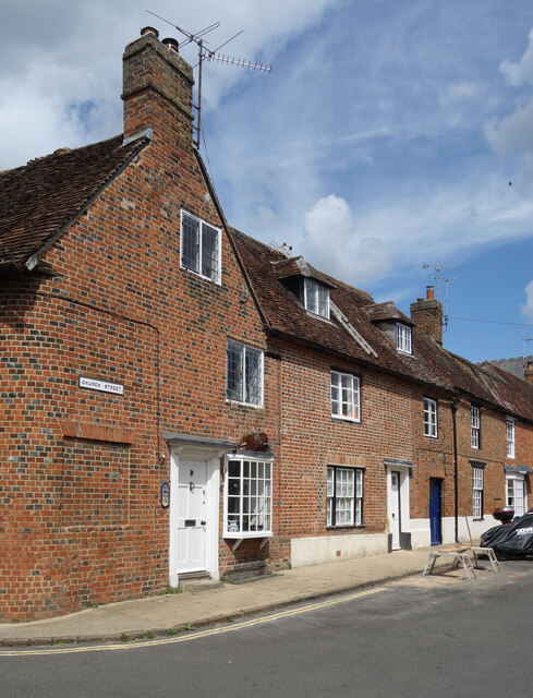
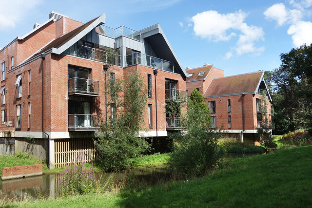
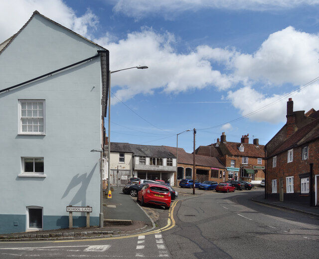
Stratford Fields Images
Images are sourced within 2km of 51.999477/-0.98023851 or Grid Reference SP7033. Thanks to Geograph Open Source API. All images are credited.


Stratford Fields is located at Grid Ref: SP7033 (Lat: 51.999477, Lng: -0.98023851)
Unitary Authority: Buckinghamshire
Police Authority: Thames Valley
What 3 Words
///rational.agreeable.sliding. Near Buckingham, Buckinghamshire
Nearby Locations
Related Wikis

Buckingham F.C.
Buckingham Football Club is a football club based in Buckingham, Buckinghamshire, England. Formed by a merger of Buckingham Athletic and Buckingham United...

Municipal Borough of Buckingham
Buckingham was an ancient borough in England centred on the town of Buckingham in the county of Buckinghamshire, and was first recorded in the 10th century...

Buckingham Sand Pit
Buckingham Sand Pit is a 1.8 hectares (4.4 acres) Local Nature Reserve in Buckingham. It is owned and managed by Aylesbury Vale District Council.The site...
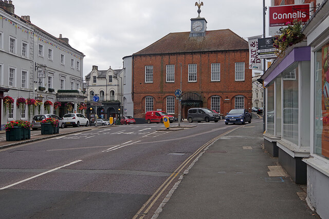
Buckingham Town Hall
Buckingham Town Hall is a municipal building in the Market Square, Buckingham, Buckinghamshire, England. The structure, which was the meeting place of...

Buckingham (UK Parliament constituency)
Buckingham () is a constituency represented in the House of Commons of the UK Parliament since 2019 by Greg Smith, a Conservative.The seat is due to be...

Buckingham Chantry Chapel
Buckingham Chantry Chapel (also known as the Old Latin School) is a 15th-century chapel and a National Trust property in Buckingham, Buckinghamshire, England...
Buckingham School
The Buckingham School is a co-educational secondary school in Buckingham, Buckinghamshire, United Kingdom. It is a community school, which takes children...
Buckingham Town F.C.
Buckingham Town Football Club, known as Milton Keynes Robins for the last year of their existence, was a football club based in Buckingham, Buckinghamshire...
Nearby Amenities
Located within 500m of 51.999477,-0.98023851Have you been to Stratford Fields?
Leave your review of Stratford Fields below (or comments, questions and feedback).