Brockeridge Common
Downs, Moorland in Gloucestershire Tewkesbury
England
Brockeridge Common

Brockeridge Common is a picturesque area located in Gloucestershire, England. It is known for its diverse landscape, which includes downs and moorland, making it a haven for nature enthusiasts and hikers.
Situated in the Cotswolds, Brockeridge Common covers a significant area and offers breathtaking views of the surrounding countryside. The downs, characterized by rolling hills and grassy slopes, provide a serene setting for outdoor activities such as walking, picnicking, and birdwatching. The common is home to a variety of bird species, including skylarks and stonechats, making it a popular destination for bird enthusiasts.
The moorland areas of Brockeridge Common are equally captivating. They feature a mix of heather, gorse, and grasses, creating a vibrant and colorful landscape. Moorland plants such as cotton grass and bilberry can also be found here, adding to the area's unique charm. The moorland is inhabited by various wildlife species, including rabbits, foxes, and deer, providing ample opportunities for wildlife spotting.
Aside from its natural beauty, Brockeridge Common also has historical significance. It was once a common grazing land for local farmers and still retains its traditional charm with stone walls and old farm buildings dotting the landscape.
Overall, Brockeridge Common offers visitors a chance to immerse themselves in the beauty of the English countryside. With its downs, moorland, and rich wildlife, it is a place where one can experience the tranquility and serenity of nature.
If you have any feedback on the listing, please let us know in the comments section below.
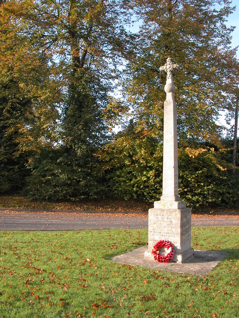
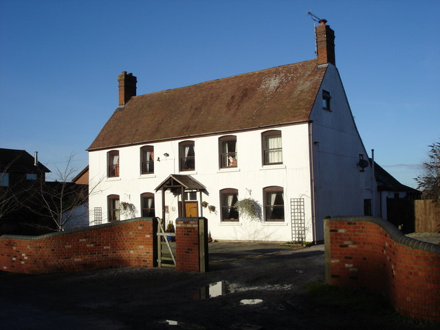
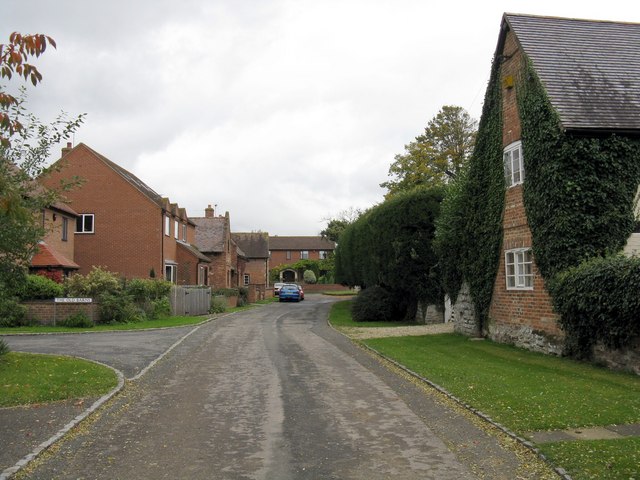
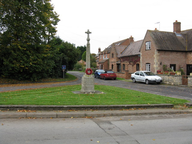
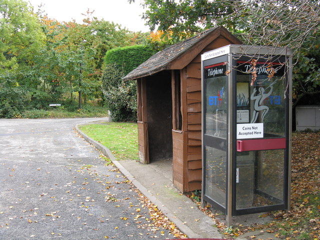
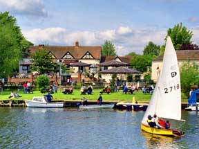
Brockeridge Common Images
Images are sourced within 2km of 52.04207/-2.1671695 or Grid Reference SO8838. Thanks to Geograph Open Source API. All images are credited.


Brockeridge Common is located at Grid Ref: SO8838 (Lat: 52.04207, Lng: -2.1671695)
Administrative County: Gloucestershire
District: Tewkesbury
Police Authority: Gloucestershire
What 3 Words
///custodian.unclaimed.miracles. Near Bredon, Worcestershire
Nearby Locations
Related Wikis

Ripple, Worcestershire
Ripple is a village and civil parish in the county of Worcestershire, England. Ripple is one of the most southerly parishes in the county and is situated...
Battle of Ripple Field
The Battle of Ripple Field, fought on 13 April 1643, was an engagement in the First English Civil War. In the battle, a Royalist cavalry force led by Prince...
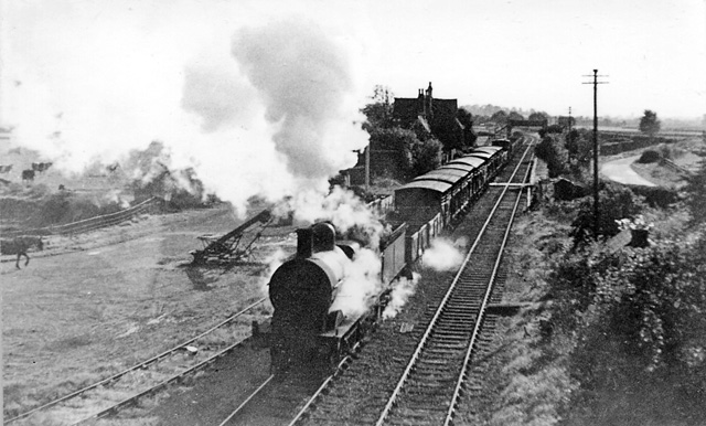
Ripple railway station
Ripple railway station was a station on the Midland Railway between Great Malvern and Evesham. It opened on 16 May 1864 by the Tewkesbury and Malvern...

Naunton, Worcestershire
Naunton is a village in the parish of Ripple, near Upton-upon-Severn in Worcestershire, England. Records for Naunton date back to the 12th Century, where...
Twyning
Twyning is a village and civil parish on the River Avon in the north of Gloucestershire, near Tewkesbury, England. The parish is first mentioned in the...

Strensham
Strensham is a village in the Wychavon district of Worcestershire. In the 2001 census, the civil parish of Strensham had a population of 314 across 127...

Hill Croome
Hill Croome is a village, and a civil parish which covers 1000 acres, in the Malvern Hills District in the county of Worcestershire, England. Historically...

Lordship of Saxons Lode
The Lordship of Saxons Lode or warlord of Saxons Lode (Old English for 'Lord of Viking's Iron') (Icelandic: Lávarður Saxa Lode, Danish: Herre af Sakserne...
Nearby Amenities
Located within 500m of 52.04207,-2.1671695Have you been to Brockeridge Common?
Leave your review of Brockeridge Common below (or comments, questions and feedback).