Strand on the Green
Settlement in Middlesex
England
Strand on the Green
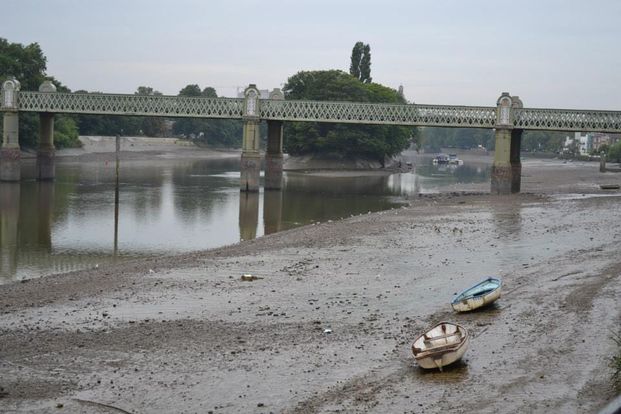
Strand on the Green is a picturesque and historic area located in Middlesex, on the banks of the River Thames in London, England. It is nestled between Kew Bridge and Chiswick Bridge, and is renowned for its idyllic riverside setting and charming village-like atmosphere.
The area’s name originates from the old English word "strand" meaning riverbank, highlighting its close proximity to the Thames. Strand on the Green boasts a rich history dating back to the Middle Ages, with evidence of settlement and activity in the area since Roman times.
One of the defining features of Strand on the Green is its row of traditional riverside cottages, many of which date back to the 18th and 19th centuries. These quaint houses, with their charming facades and beautifully maintained gardens, add to the area's unique character and allure.
The riverside promenade, known locally as the "Strand," offers stunning views of the river and is a popular spot for leisurely walks or cycling. The area is also home to several riverside pubs and restaurants, which provide the perfect setting for enjoying a drink or meal while taking in the scenic surroundings.
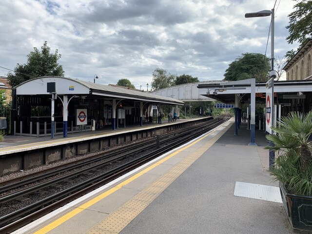
Strand on the Green is well-connected to the rest of London, with excellent transport links nearby. Kew Bridge Station is just a short walk away, providing easy access to central London and other parts of the city.
Overall, Strand on the Green is a delightful and peaceful riverside enclave that offers a perfect blend of history, natural beauty, and a tranquil village atmosphere.
If you have any feedback on the listing, please let us know in the comments section below.
Strand on the Green Images
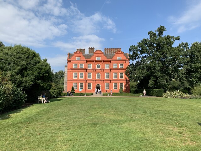
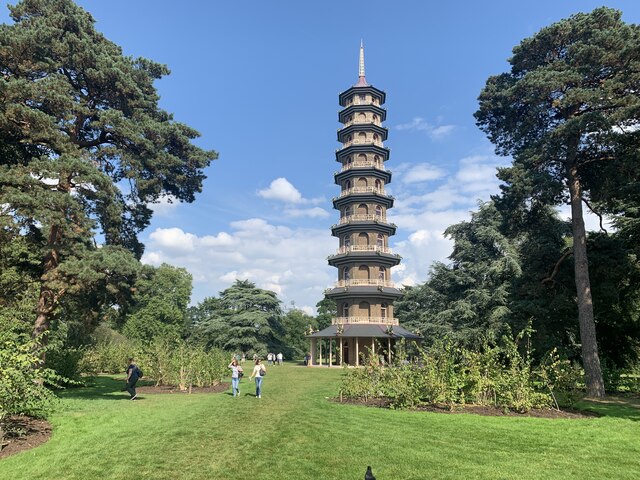
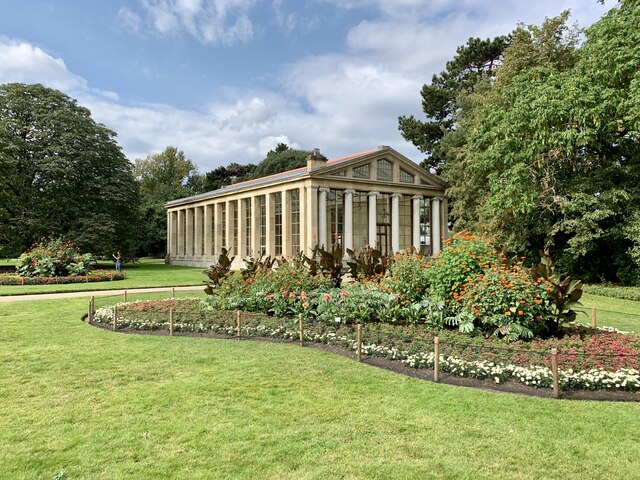
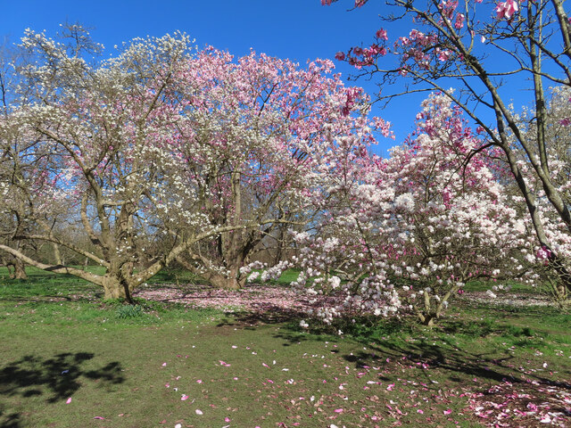
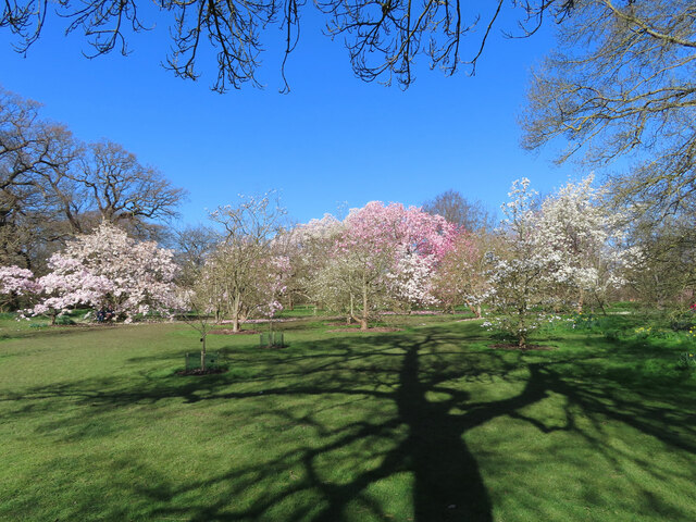
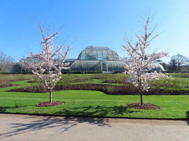
Images are sourced within 2km of 51.48692/-0.28210589 or Grid Reference TQ1977. Thanks to Geograph Open Source API. All images are credited.


Strand on the Green is located at Grid Ref: TQ1977 (Lat: 51.48692, Lng: -0.28210589)
Unitary Authority: Hounslow
Police Authority: Metropolitan
What 3 Words
///prime.clubs.events. Near Brentford, London
Nearby Locations
Related Wikis
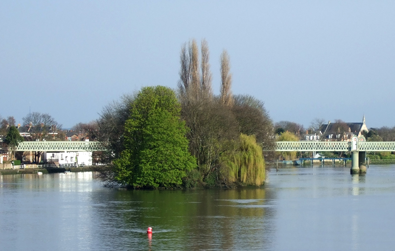
Oliver's Island
Oliver's Island is a tree-covered 0.9-acre (0.36 ha) ait (river island), in the River Thames in England. It is in the London Borough of Hounslow, on the...
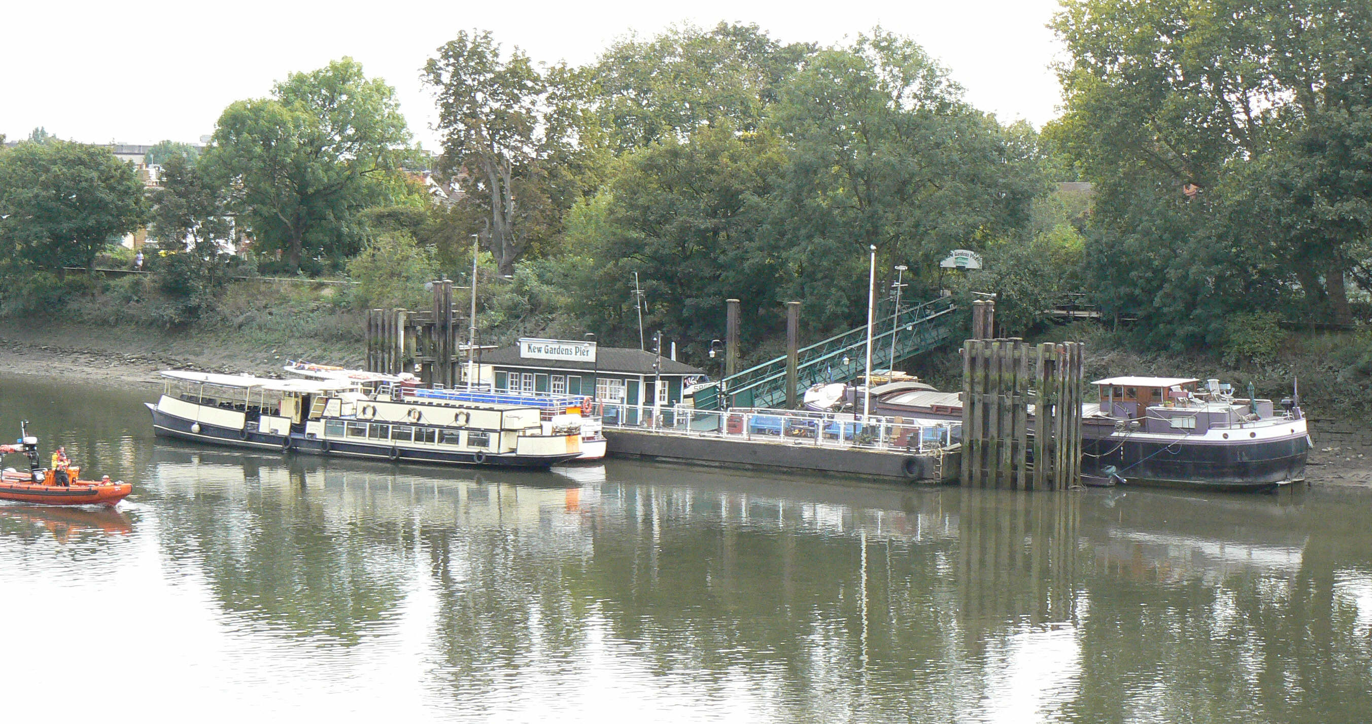
Kew Pier
Kew Pier or Kew Gardens Pier is a pier on the River Thames, in London, United Kingdom. It stands close to Kew Gardens and Kew Bridge in the London Borough...
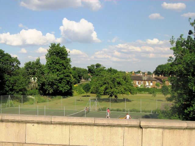
Westerley Ware
Westerley Ware is a small garden and recreation ground in Kew in the London Borough of Richmond upon Thames. It is at the foot of Kew Bridge, between Waterloo...
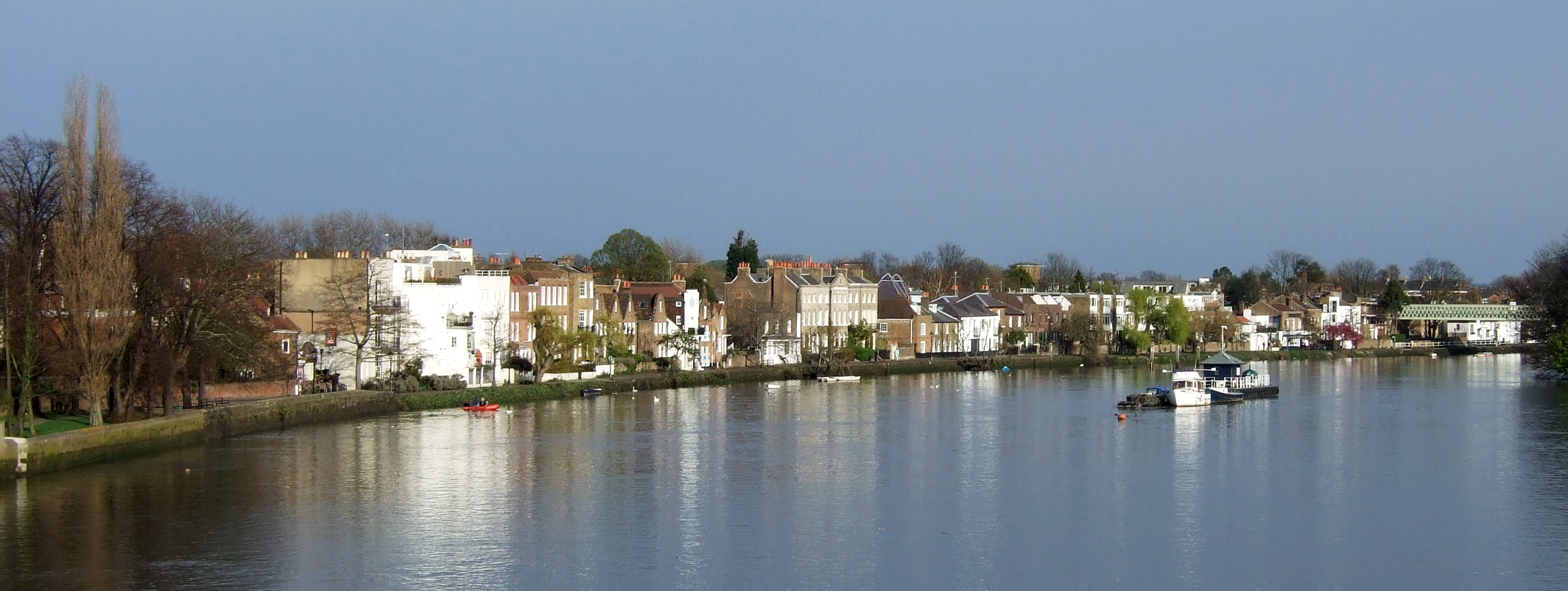
Strand-on-the-Green
Strand-on-the-Green is one of Chiswick's four medieval villages, and a "particularly picturesque" riverside area in West London. It is a conservation...
Nearby Amenities
Located within 500m of 51.48692,-0.28210589Have you been to Strand on the Green?
Leave your review of Strand on the Green below (or comments, questions and feedback).