Star
Settlement in Somerset Sedgemoor
England
Star
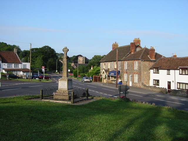
Star is a small village located in the county of Somerset, England. Situated in the heart of the beautiful Somerset Levels, Star is surrounded by picturesque countryside and offers a tranquil and idyllic setting. The village is part of the larger parish of High Ham and is approximately 8 miles southwest of the town of Glastonbury.
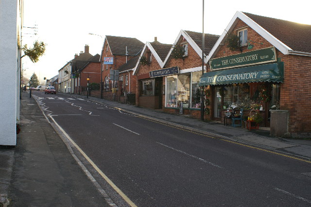
Star is known for its charming and traditional architecture, with many historic buildings and thatched cottages dotting the landscape. The village is centered around a village green, which serves as a gathering place for locals and visitors alike. The green is bordered by a few local amenities, including a village hall and a small community shop.
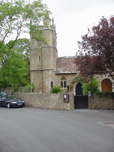
One of the main attractions in Star is the 13th-century Church of St. Andrew, a beautiful and well-preserved example of medieval architecture. The church is a popular spot for history enthusiasts and visitors interested in heritage sites. The nearby River Parrett also offers opportunities for scenic walks and wildlife observation.
Despite its small size, Star has a strong sense of community, with various social events and activities organized throughout the year. The village holds an annual summer fete, which brings together residents and visitors for a day of games, stalls, and entertainment.
Overall, Star, Somerset is a charming and peaceful village that offers a glimpse into the rich history and rural beauty of the Somerset Levels. Whether for a leisurely stroll, a visit to the historic church, or simply a retreat from the hustle and bustle of modern life, Star provides a welcoming and authentic experience for all who venture there.
If you have any feedback on the listing, please let us know in the comments section below.
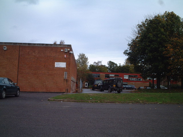
Star Images
Images are sourced within 2km of 51.319675/-2.8091733 or Grid Reference ST4358. Thanks to Geograph Open Source API. All images are credited.
![Snake in the Road A grass snake [Natrix natrix]. Fifty years ago the grass snake was very common in Great Britain; it could be seen in quite large numbers at a good site. Now it is quite rare, because of loss of habitat and food.](https://s1.geograph.org.uk/photos/16/44/164445_15fa25cf.jpg)

Star is located at Grid Ref: ST4358 (Lat: 51.319675, Lng: -2.8091733)
Administrative County: Somerset
District: Sedgemoor
Police Authority: Avon and Somerset
What 3 Words
///clasps.nutrients.correctly. Near Shipham, Somerset
Nearby Locations
Related Wikis

Sidcot School
Sidcot School is a British co-educational private school for boarding and day pupils, associated with the Religious Society of Friends. It is one of seven...

Shipham
Shipham (grid reference ST445575) is a village and civil parish in Somerset, England. It is on the western edge of the Mendip Hills near the A38, approximately...

Dinghurst fort
Dinghurst fort is an Iron Age univallate hillfort south of Churchill in Somerset, England. A scarp encircles the camp, 2.0 metres (6.5 ft) high in the...

Church of St Michael and All Angels, Rowberrow
The Anglican Church of St Michael and All Angels at Rowberrow within the English county of Somerset dates from the 14th century, but parts were rebuilt...

Winscombe
Winscombe is a large village in the North Somerset unitary district of Somerset, South West England, close to the settlements of Axbridge and Cheddar,...
Winscombe and Sandford
Winscombe and Sandford is a civil parish in Somerset, England. It includes the villages of Winscombe and Sandford. The parish has a population of 4,546...

Rowberrow
Rowberrow is a small village and former civil parish, now in the parish of Shipham in the Somerset district, in the ceremonial county of Somerset, England...
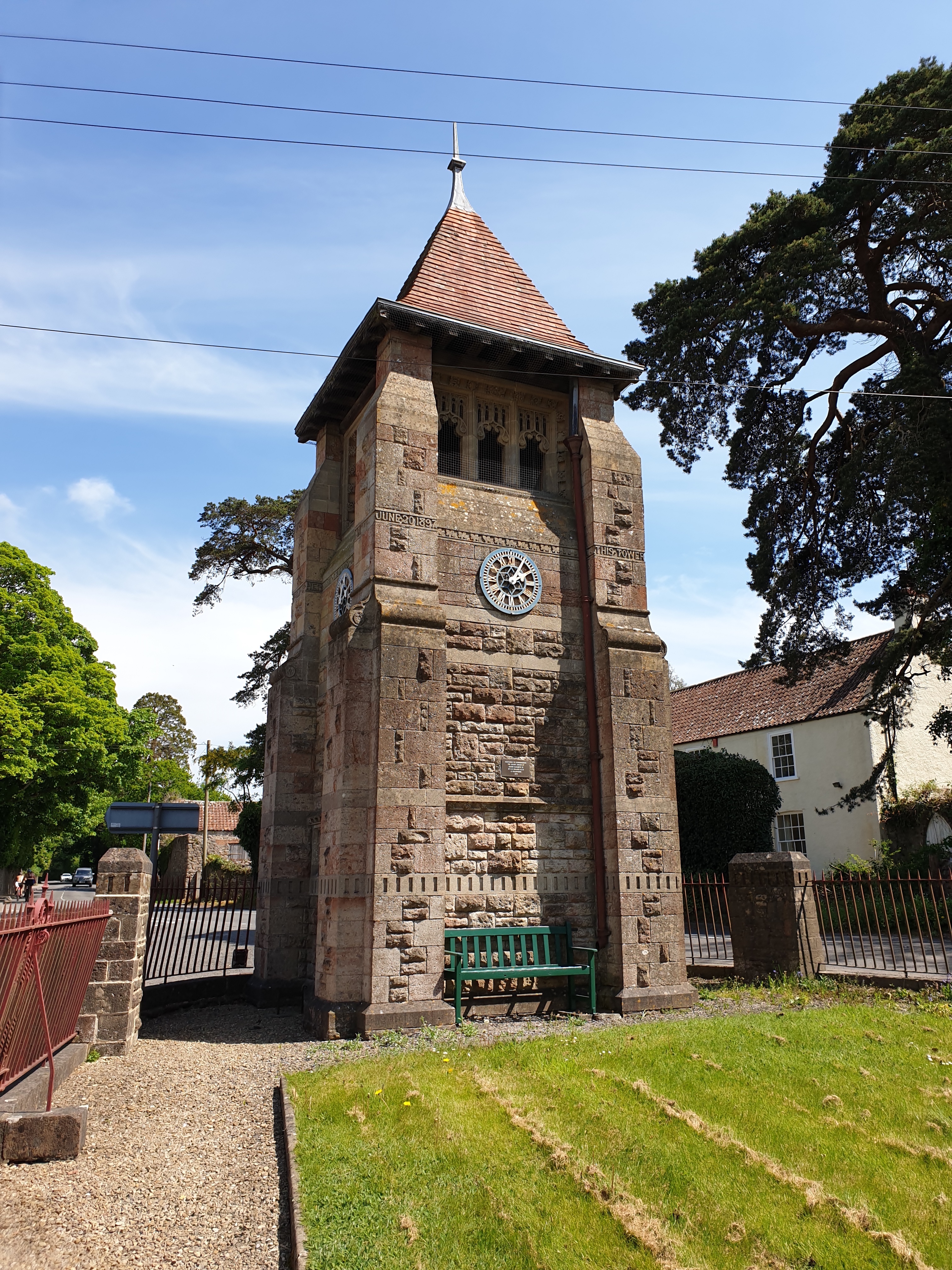
Jubilee Clock Tower, Churchill
The Jubilee Clock Tower, striking clock, and drinking fountain, is a Grade II listed building in the village of Churchill, North Somerset, built to commemorate...
Nearby Amenities
Located within 500m of 51.319675,-2.8091733Have you been to Star?
Leave your review of Star below (or comments, questions and feedback).