Star
Settlement in Anglesey
Wales
Star

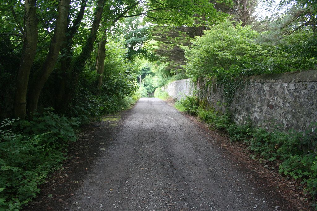
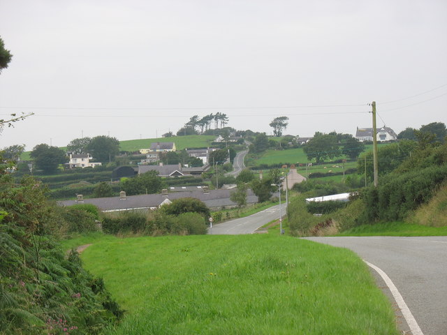
Star, Anglesey, is a small coastal village located on the Isle of Anglesey in Wales, United Kingdom. Situated approximately 4 miles southwest of Holyhead, Star is nestled between the picturesque Welsh countryside and the Irish Sea. With its tranquil and idyllic setting, the village offers residents and visitors a peaceful retreat from the hustle and bustle of urban life.
Star is known for its stunning natural beauty, with breathtaking views of the sea and nearby cliffs. The village is also home to a small, sandy beach, which attracts tourists during the summer months. The beach provides a perfect spot for sunbathing, swimming, and picnicking, and is a popular destination for families.
The village itself is a charming and close-knit community, with a population of around 500 residents. It boasts a few local amenities, including a village shop, a pub, and a post office, providing essential services for both locals and tourists. There are ample opportunities for outdoor activities in the surrounding area, such as hiking, cycling, and birdwatching, making it a haven for nature enthusiasts.
Star's location is also advantageous for those wishing to explore the wider Anglesey region. It is within easy reach of popular attractions such as South Stack Lighthouse, Holyhead Mountain, and the town of Holyhead itself, which offers ferry connections to Ireland.
In conclusion, Star, Anglesey is a charming coastal village that offers a peaceful retreat, stunning natural beauty, and a close-knit community. It is an ideal destination for those seeking relaxation, outdoor activities, and a taste of Welsh village life.
If you have any feedback on the listing, please let us know in the comments section below.
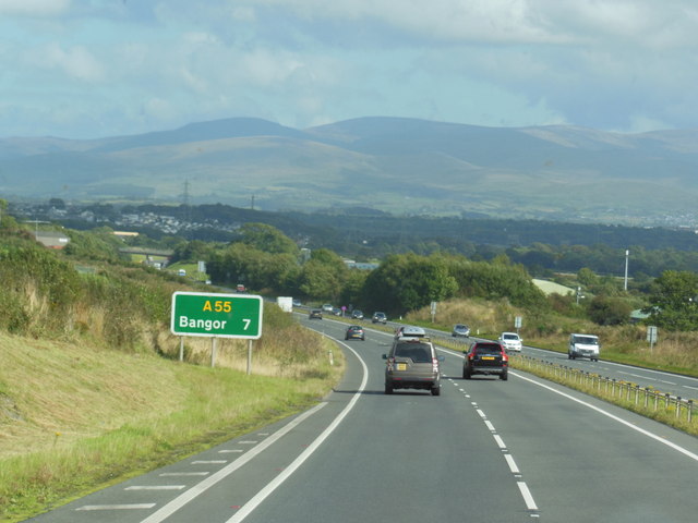
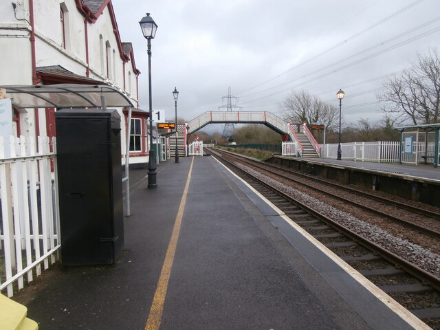
Star Images
Images are sourced within 2km of 53.225629/-4.2293973 or Grid Reference SH5172. Thanks to Geograph Open Source API. All images are credited.


Star is located at Grid Ref: SH5172 (Lat: 53.225629, Lng: -4.2293973)
Unitary Authority: Isle of Anglesey
Police Authority: North Wales
What 3 Words
///mocked.survey.dividers. Near Llanfairpwllgwyngyll, Isle of Anglesey
Nearby Locations
Related Wikis
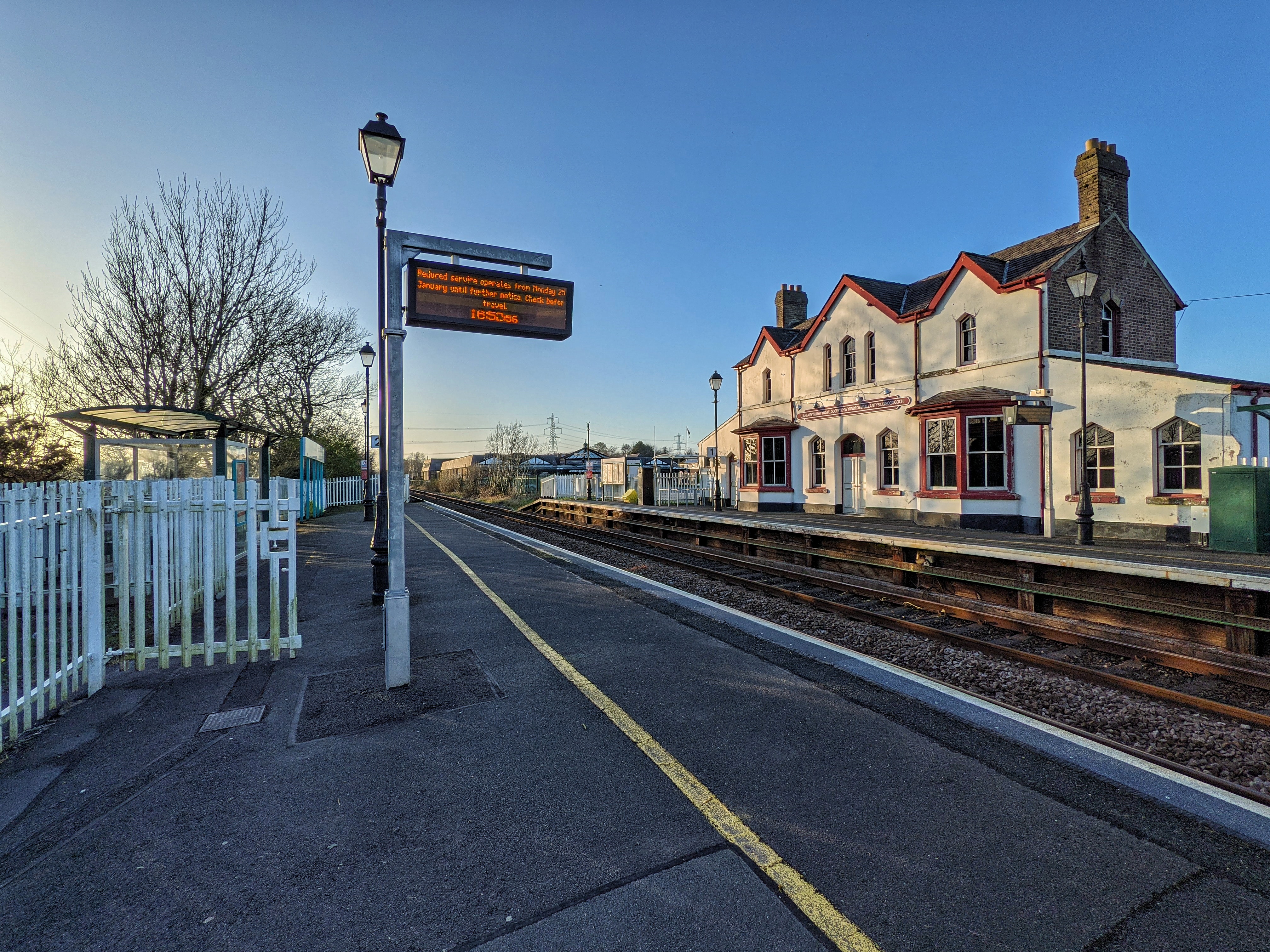
Llanfairpwll railway station
Llanfairpwll railway station is a station on the North Wales Coast Line from Crewe to Holyhead, serving the village of Llanfairpwllgwyngyll, Anglesey,...

Llanfairpwllgwyngyll
Llanfairpwllgwyngyll, or Llanfair Pwllgwyngyll (Welsh: [ɬan.ˌvair.puɬˈɡwɨ̞n.ɡɨ̞ɬ]), is a large village and community on the Isle of Anglesey, Wales. It...

Braint
Braint (privilege, right, honour, or status)was the name of one of the 40 wards of the Isle of Anglesey County Council, covering part of the area of the...
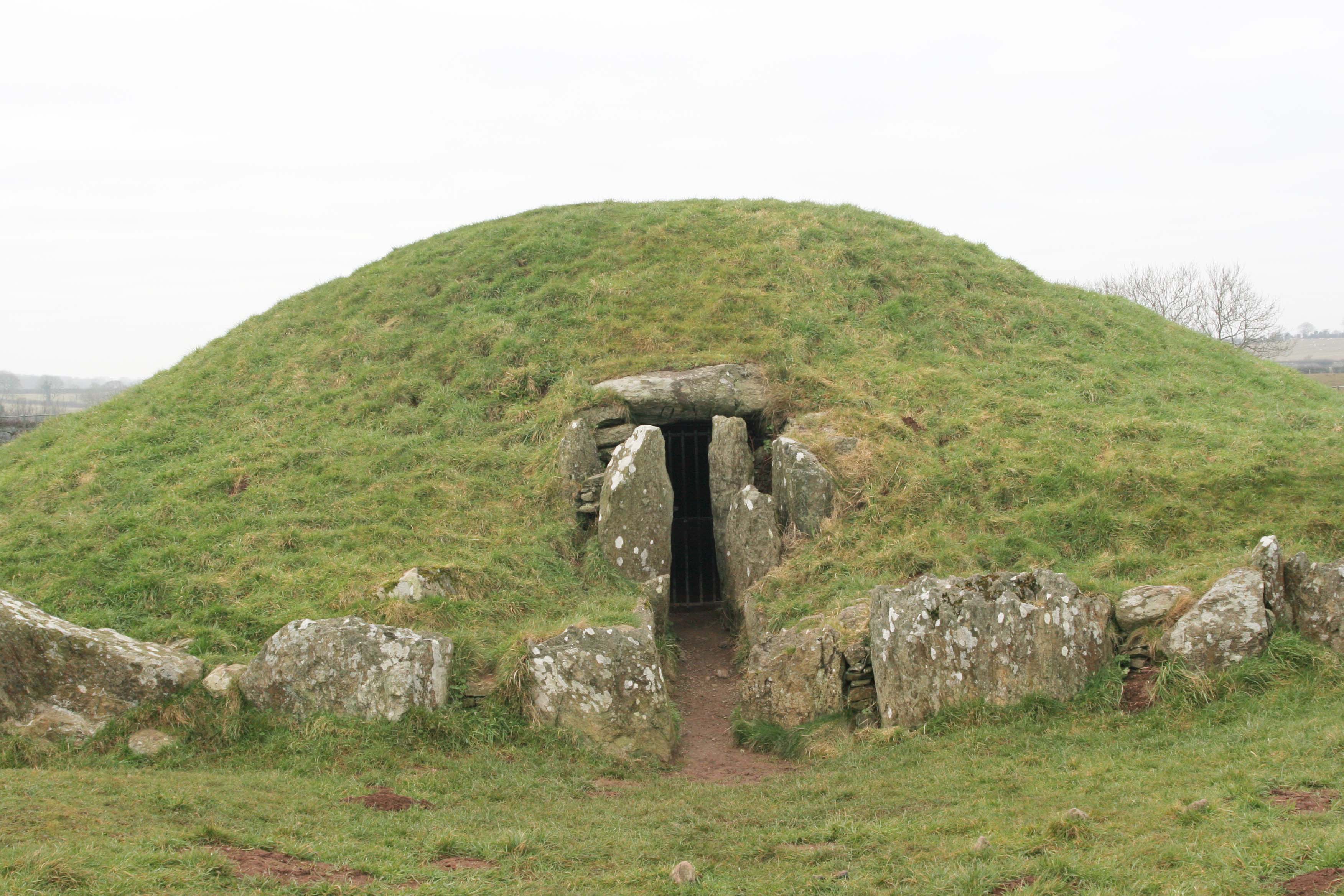
Bryn Celli Ddu
Bryn Celli Ddu (Welsh pronunciation: [brʌn keːɬi ðɨː]) is a prehistoric site on the Welsh island of Anglesey located near Llanddaniel Fab. Its name means...
Pwllfanogl
Pwllfanogl is a hamlet in the community of Llanfair Pwllgwyngyll, Anglesey, Wales, which is 127.4 miles (205.1 km) from Cardiff and 208.5 miles (335.5...
Penmynydd
Penmynydd ( pen-MUN-idh, Welsh: [pɛnˈmənɪð] ), meaning "top of the mountain" in Welsh, is a village and community on Anglesey, Wales. It is known for being...
Plas Llanfair
Plas Llanfair is an area in the community of Llanfair Pwllgwyngyll, Anglesey, Wales, which is 127.6 miles (205.4 km) from Cardiff and 208.5 miles (335...

Marquess of Anglesey's Column
The Marquess of Anglesey's Column (also known as Anglesey Column or by the Welsh name Tŵr Marcwis) is a Doric column near the Menai Strait in Wales. It...
Nearby Amenities
Located within 500m of 53.225629,-4.2293973Have you been to Star?
Leave your review of Star below (or comments, questions and feedback).