Stafainn
Settlement in Inverness-shire
Scotland
Stafainn
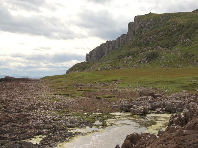
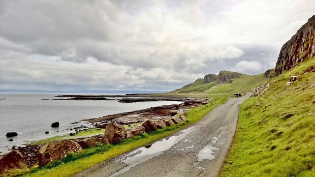
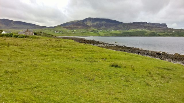
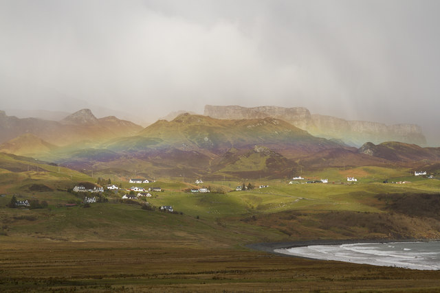
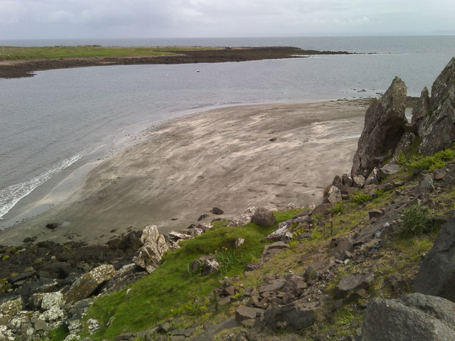
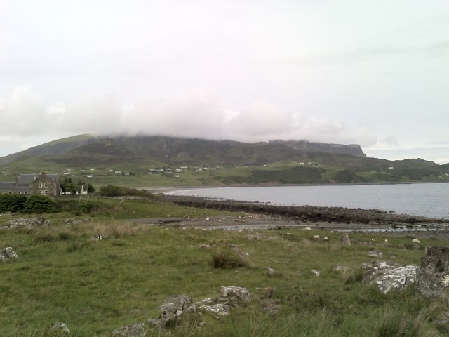
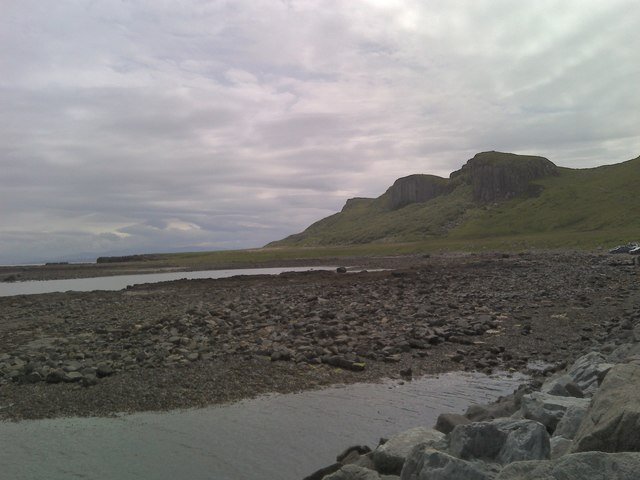
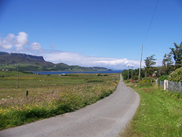
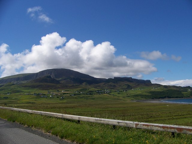
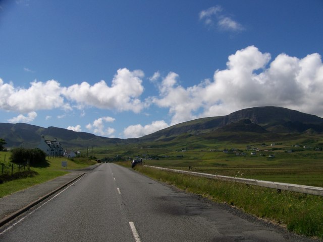
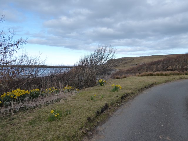
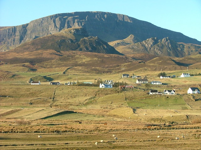
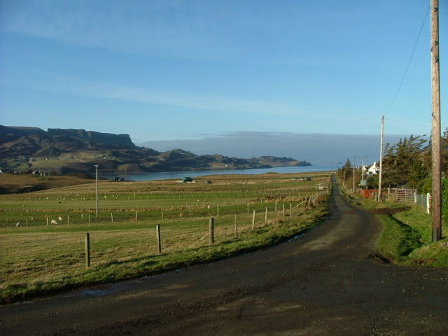
Stafainn, also known as Staffin, is a village located on the northeastern coast of the Isle of Skye in Inverness-shire, Scotland. It is nestled in the Trotternish Peninsula, renowned for its stunning natural beauty and rugged landscapes. Stafainn sits approximately 17 miles north of Portree, the largest town on the Isle of Skye.
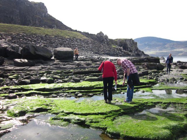
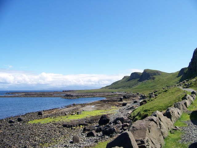
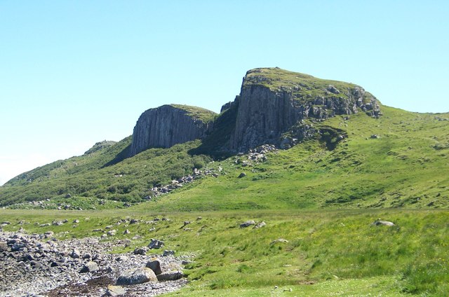
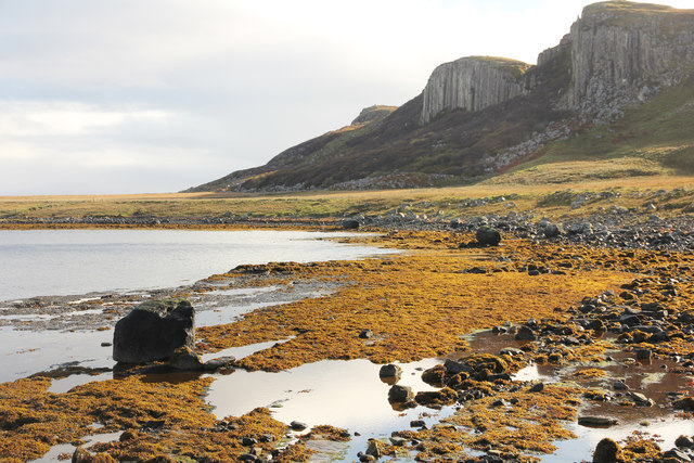
The village of Stafainn is a popular tourist destination, attracting visitors from all over the world who come to explore its unique geological features and breathtaking sights. One of the most famous landmarks in the area is the Quiraing, a dramatic landslip known for its towering cliffs, pinnacles, and plateaus. This geological formation offers incredible hiking opportunities, providing panoramic views of the surrounding landscapes.
Stafainn is also known for its dinosaur fossils, with several discoveries made in the region, including footprints and bones. The Staffin Museum offers visitors a chance to learn more about these ancient creatures and the geology of the area.
In addition to its natural wonders, Stafainn offers a range of amenities for visitors. There are several accommodation options, including guesthouses, bed and breakfasts, and self-catering cottages. The village is also home to a few cafes, restaurants, and shops, providing visitors with essentials and local products.
Overall, Stafainn is a picturesque village that combines natural beauty, geological wonders, and a warm Scottish hospitality, making it a must-visit destination for nature enthusiasts and those seeking a tranquil getaway.
If you have any feedback on the listing, please let us know in the comments section below.
Stafainn Images
Images are sourced within 2km of 57.631184/-6.2181663 or Grid Reference NG4867. Thanks to Geograph Open Source API. All images are credited.


Stafainn is located at Grid Ref: NG4867 (Lat: 57.631184, Lng: -6.2181663)
Unitary Authority: Highland
Police Authority: Highlands and Islands
Also known as: Staffin
What 3 Words
///pelted.curving.shred. Near Uig, Highland
Nearby Locations
Related Wikis

Staffin
Staffin (Scottish Gaelic: Stafain) is a district with the Gaelic name An Taobh Sear, which translates as "the East Side", on the northeast coast of the...
Brogaig
Brogaig (Scottish Gaelic: Brògaig), Norse for Burgh Bay, is a small coastal village, on the northwest coast of the Trotternish peninsula, close to Staffin...

Staffin Island
Staffin Island (possibly also known as Stenscholl Island) is an uninhabited islet off the east coast of the Trotternish peninsula of Skye in Scotland....
Garafad
Garafad or Garafad, (Scottish Gaelic: An Garradh Fada) is a linear crofting settlement on the east coast of the Trotternish Peninsula of Skye in the...

Quiraing
The Quiraing (Scottish Gaelic: A' Chuith-Raing) is a landslip on the eastern face of Meall na Suiramach, the northernmost summit of the Trotternish on...
Trotternish
Trotternish or Tròndairnis (Scottish Gaelic) is the northernmost peninsula of the Isle of Skye, in Scotland. Its most northerly point, Rubha Hùinis, is...

Ellishadder
Ellishadder (Scottish Gaelic: Ealaiseadar) is a crofting township, situated close to the north shore of the freshwater Loch Mealt, on the Trotternish peninsula...

Loch Mealt
Loch Mealt is an inland fresh-water loch on the Isle of Skye in Scotland. It lies close to Ellishadder and south of Staffin, on the eastern side of the...
Nearby Amenities
Located within 500m of 57.631184,-6.2181663Have you been to Stafainn?
Leave your review of Stafainn below (or comments, questions and feedback).