Staghills
Settlement in Lancashire Rossendale
England
Staghills
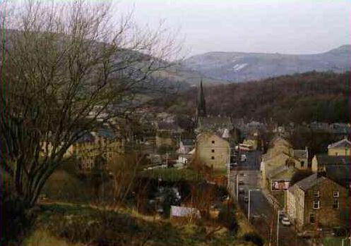
Staghills is a small village located in the county of Lancashire, England. It is situated within the Rossendale district and lies approximately 2 miles northwest of the town of Rawtenstall. With a population of around 1,500 residents, Staghills retains a close-knit community atmosphere.
The village is surrounded by picturesque landscapes, with rolling hills and lush green fields adding to its charm. Staghills offers a peaceful and tranquil environment, making it an ideal place for those seeking a retreat from the hustle and bustle of city life.
Despite its small size, Staghills boasts several amenities catering to the needs of its residents. These include a primary school, a local convenience store, and a community center. Additionally, the village has good transport links, with bus services connecting it to neighboring towns and villages.
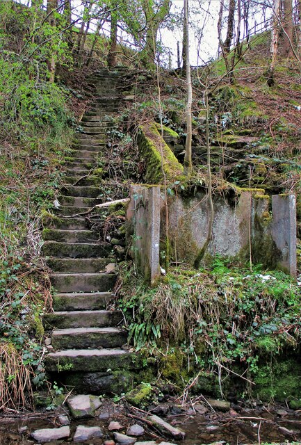
Staghills is also renowned for its proximity to various outdoor attractions, making it an appealing destination for nature enthusiasts. The nearby Irwell Sculpture Trail offers beautiful walking routes along the River Irwell, showcasing a collection of sculptures by local and international artists. Moreover, the village lies within close proximity to the stunning Rossendale Valley, which offers opportunities for hiking, cycling, and other outdoor activities.
In conclusion, Staghills is a charming village nestled in the scenic landscapes of Lancashire. With its tight-knit community, range of amenities, and access to nature, it provides an idyllic setting for residents and visitors alike.
If you have any feedback on the listing, please let us know in the comments section below.
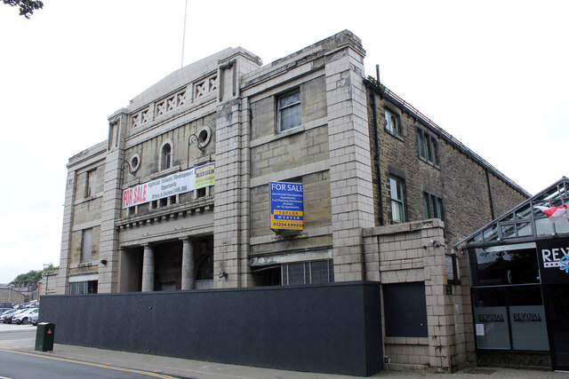
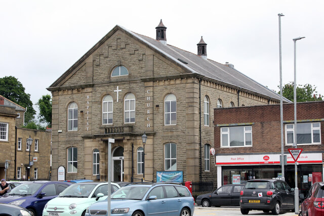
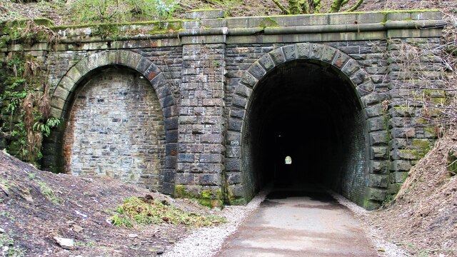
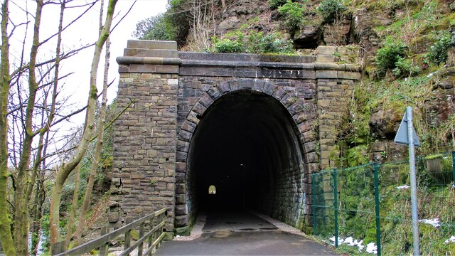
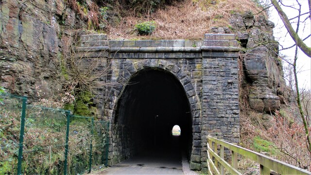
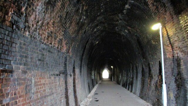
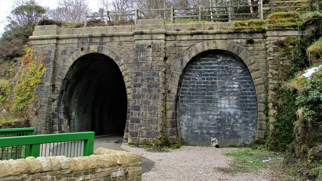
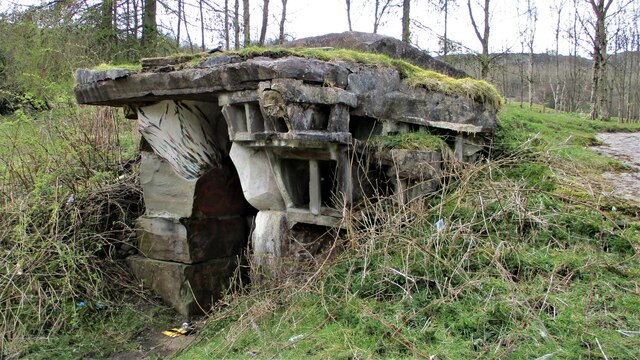
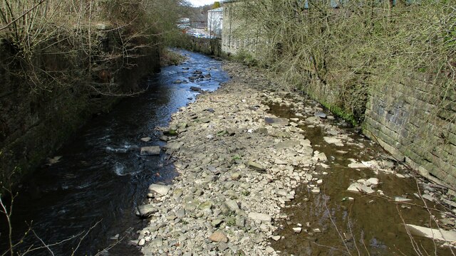
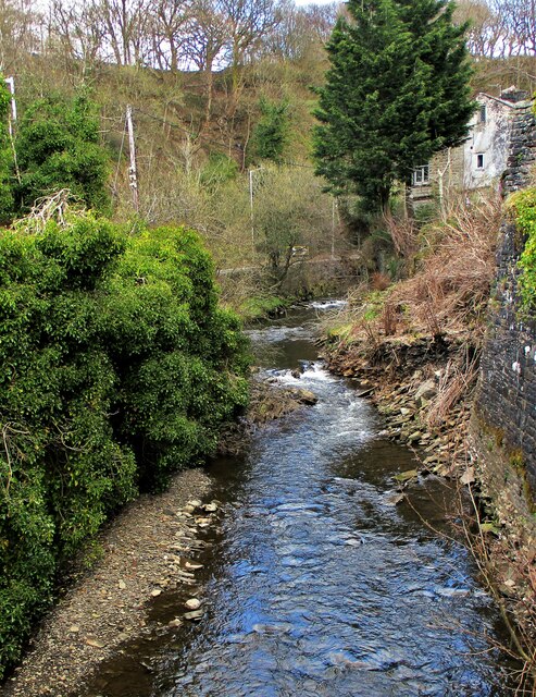
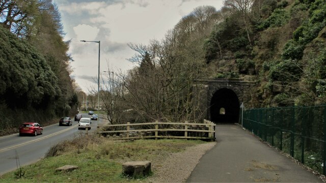
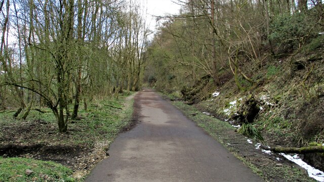
Staghills Images
Images are sourced within 2km of 53.699144/-2.2584476 or Grid Reference SD8322. Thanks to Geograph Open Source API. All images are credited.

Staghills is located at Grid Ref: SD8322 (Lat: 53.699144, Lng: -2.2584476)
Administrative County: Lancashire
District: Rossendale
Police Authority: Lancashire
What 3 Words
///insert.rush.lame. Near Rawtenstall, Lancashire
Nearby Locations
Related Wikis
Newchurch, Lancashire
Newchurch is a village within the borough of Rossendale in Lancashire, England. It is around one mile east of Rawtenstall and half a mile north of Waterfoot...
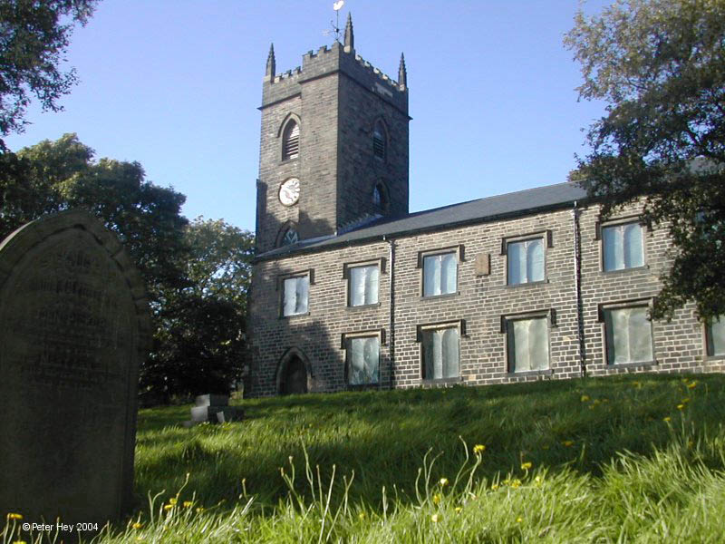
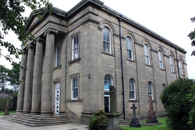
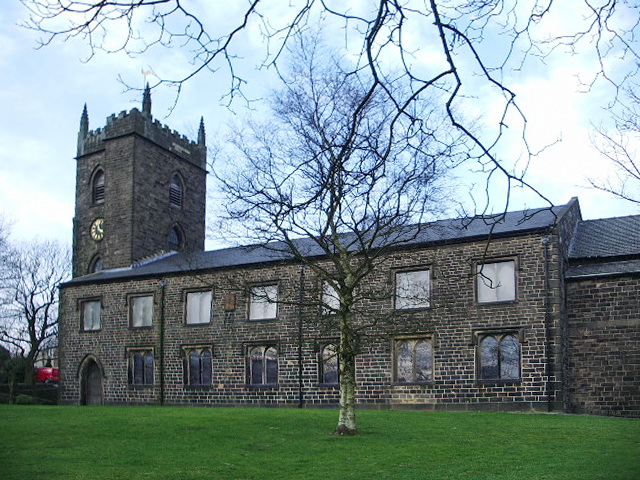
St Nicholas Church, Newchurch
St Nicholas Church in Newchurch, Lancashire, England, is an active Anglican parish church in the diocese of Manchester, founded in the early 16th century...

Cloughfold
Cloughfold is a small hamlet in between the towns of Rawtenstall and Waterfoot in Rossendale, Lancashire, England. Clough Fold railway station on the Rawtenstall...

Waterfoot railway station
Waterfoot railway station served Waterfoot, Rossendale near Rawtenstall, Lancashire, England from 1848 until the line closed in 1966. == History == The...
Clough Fold railway station
Clough Fold Railway Station served Cloughfold near Rawtenstall, Lancashire, England from 1871 until the line closed in 1966. == References == Lost Railways...
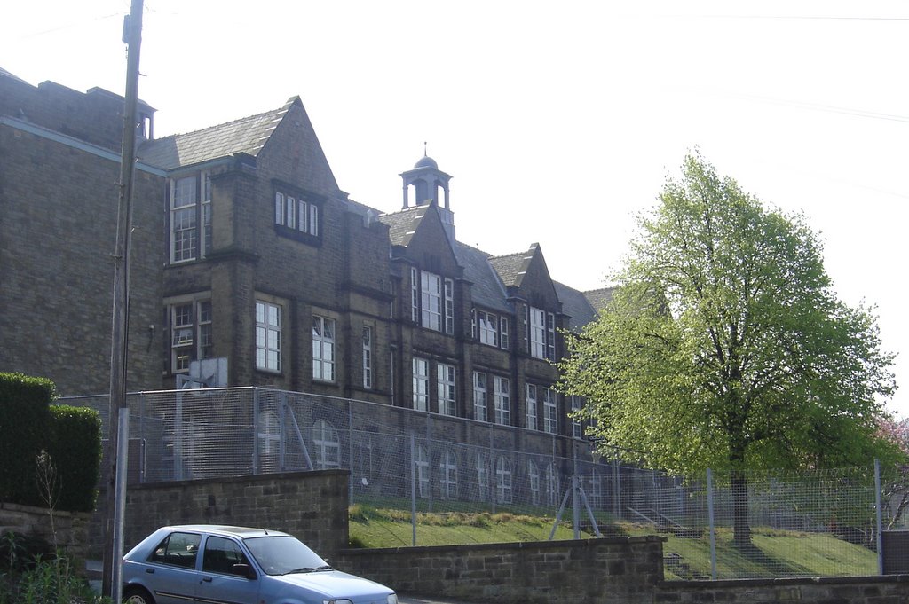
Bacup and Rawtenstall Grammar School
Bacup and Rawtenstall Grammar School (BRGS) is a selective co-educational academy grammar school in Waterfoot, Rossendale, Lancashire, England. The school...
Waterfoot, Lancashire
Waterfoot is a historic mill town and civil parish in the Borough of Rossendale between Rawtenstall and Bacup in Lancashire, England. The B6238 road from...

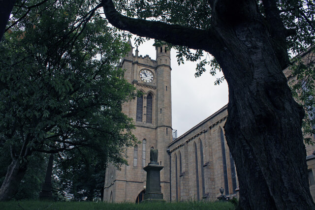
St John's Church, Rawtenstall
St John's Church is a redundant Anglican church in Newchurch Road, Cloughfold, Rawtenstall, Lancashire, England. It is recorded in the National Heritage...
Nearby Amenities
Located within 500m of 53.699144,-2.2584476Have you been to Staghills?
Leave your review of Staghills below (or comments, questions and feedback).