Staffin

Settlement in Inverness-shire

Scotland

Staffin

Coastline east of Garrafad Raised beach below the northern end of the famous Kilt Rock.
Coastline east of Garrafad Credit: John Allan

The requested URL returned error: 429 Too Many Requests

If you have any feedback on the listing, please let us know in the comments section below.
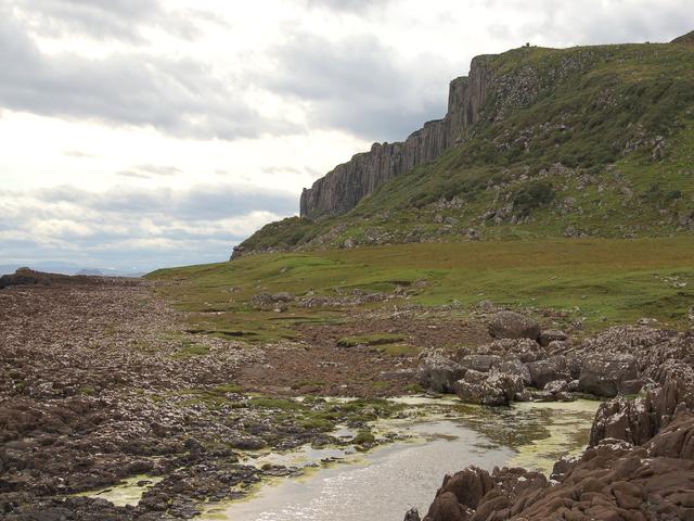
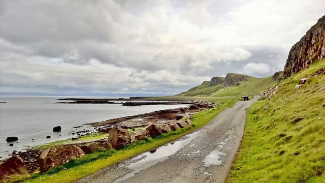
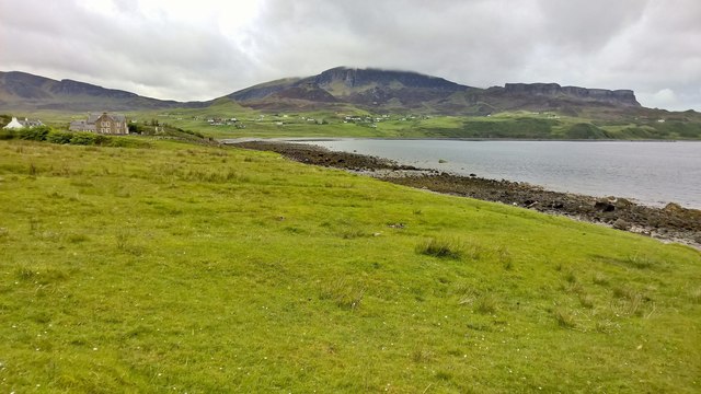
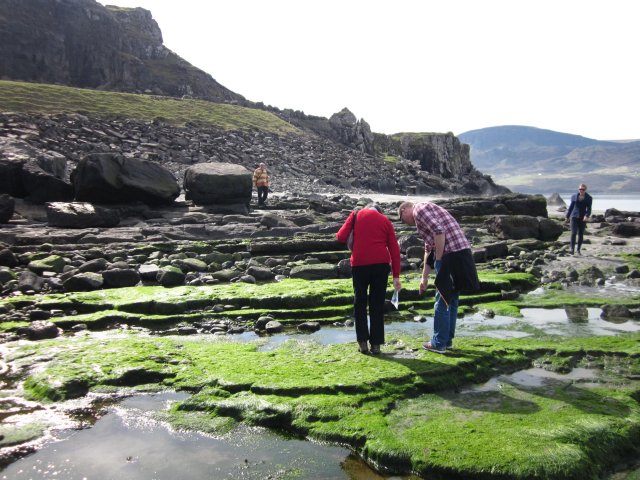
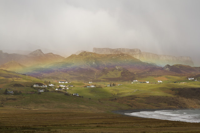
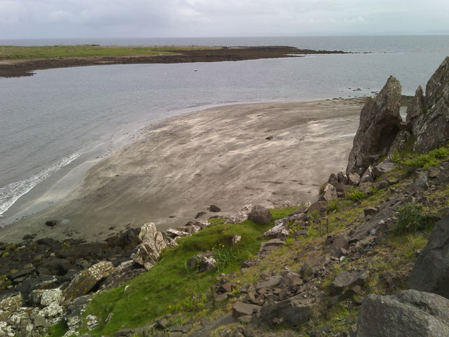
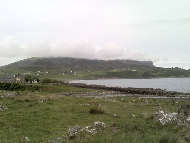
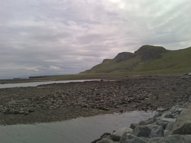
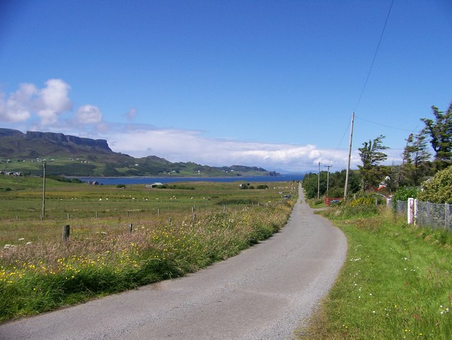
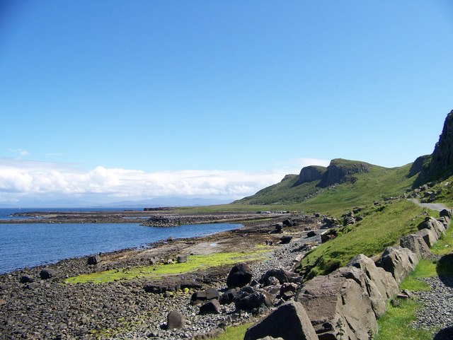
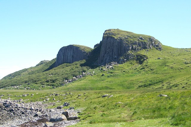
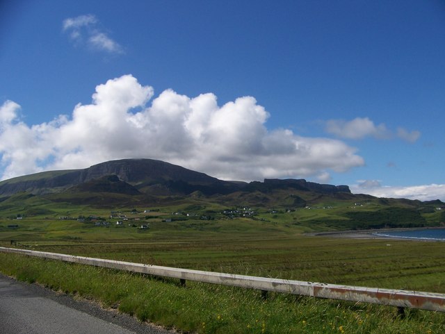
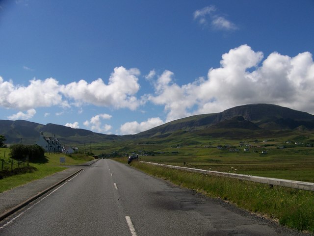
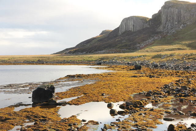
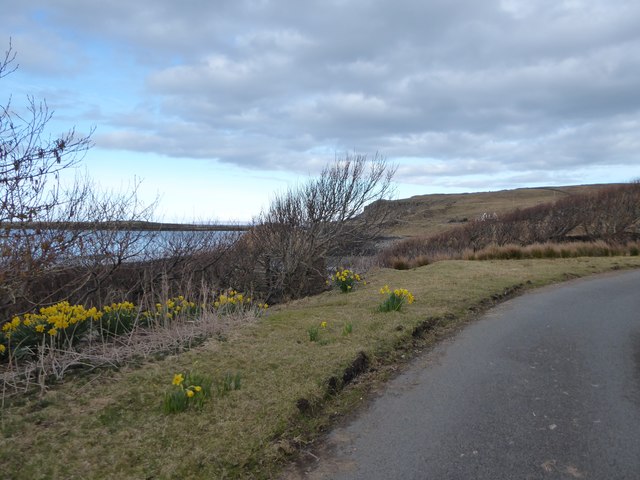
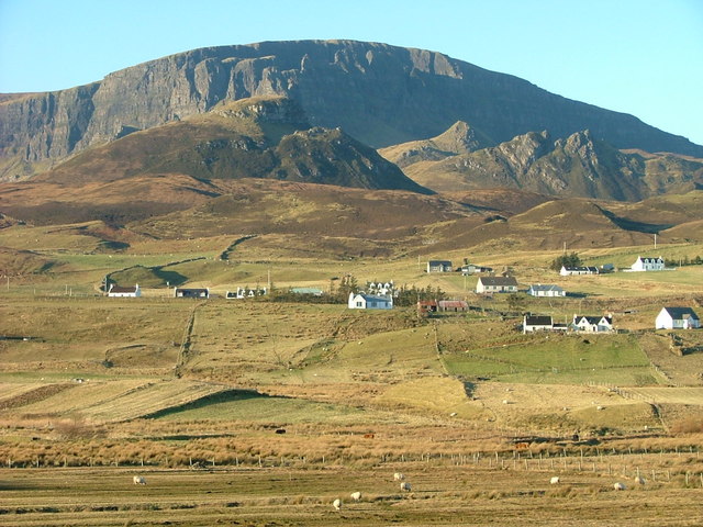
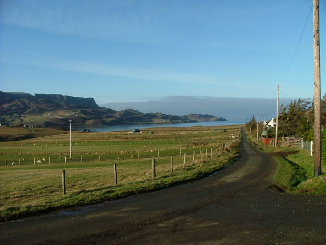
Staffin Images

Images are sourced within 2km of 57.631184/-6.2181663 or Grid Reference NG4867. Thanks to Geograph Open Source API. All images are credited.

Coastline east of Garrafad Raised beach below the northern end of the famous Kilt Rock.
Coastline east of Garrafad
Raised beach below the northern end of the famous Kilt Rock.
Looking down coast towards Staffin slipway
Across Staffin Bay
Across Staffin Bay
Dinosaur footprints Use this photo with reference to the beach & background to locate the footprints
Dinosaur footprints
Use this photo with reference to the beach & background to locate the footprints
Stenscholl view with a rainbow As we drove up to the Quiraing this rainbow appeared over Stenscholl.
Stenscholl view with a rainbow
As we drove up to the Quiraing this rainbow appeared over Stenscholl.
Uphill track Leading from Staffin jetty towards Staffin village.
Uphill track
Leading from Staffin jetty towards Staffin village.
Beach north of Staffin With Staffin Island in the background.
Beach north of Staffin
With Staffin Island in the background.
Cloud on the Quiraing Looking across Staffin Bay to the Quiraing with Quiraing Lodge in the foreground.
Cloud on the Quiraing
Looking across Staffin Bay to the Quiraing with Quiraing Lodge in the foreground.
Sgeir Bhan seen from Staffin slipway Looking south towards Kilt Rock.
Sgeir Bhan seen from Staffin slipway
Looking south towards Kilt Rock.
Crofting Township of Garafad
Walking from the car park to the Staffin Community Slipway
Cliffs east of Garrafad
Looking from Staffin Bay towards the crofts with the Quiraing in the background
A855 at Stenscholl
A855 at Stenscholl
Staffin Bay at Glashvin
Breun Phort Breun Phort from Staffin slipway
Breun Phort
Breun Phort from Staffin slipway
Daffodils at Quiraing Lodge
Road junction at Brogaig
Show me another place!

Staffin is located at Grid Ref: NG4867 (Lat: 57.631184, Lng: -6.2181663)

Unitary Authority: Highland

Police Authority: Highlands and Islands

Also known as: Stafainn

What 3 Words

///pelted.curving.shred. Near Uig, Highland

Related Wikis

Staffin

Staffin (Scottish Gaelic: Stafain) is a district with the Gaelic name An Taobh Sear, which translates as "the East Side", on the northeast coast of the...

Brogaig

Brogaig (Scottish Gaelic: BrĂ²gaig), Norse for Burgh Bay, is a small coastal village, on the northwest coast of the Trotternish peninsula, close to Staffin...

Staffin Island

Staffin Island (possibly also known as Stenscholl Island) is an uninhabited islet off the east coast of the Trotternish peninsula of Skye in Scotland....

Garafad

Garafad or Garafad, (Scottish Gaelic: An Garradh Fada) is a linear crofting settlement on the east coast of the Trotternish Peninsula of Skye in the...

Nearby Amenities

Located within 500m of 57.631184,-6.2181663
Stenscholl
Name Gd: Steinnseall
Place: hamlet
Lat/Long: 57.6305041/-6.2250042
Post Box
Collection Times: Mo-Sa 09:15
Operator: Royal Mail
Post Box Mounting: pole
Post Box Type: lamp
Ref: IV51 63
Royal Cypher: scottish_crown
Lat/Long: 57.6312429/-6.218065
Passing Place
Passing Place: left
Lat/Long: 57.6322857/-6.2176848
Barrier: cattle_grid
Lat/Long: 57.6331558/-6.214577
Power: pole
Lat/Long: 57.6285101/-6.2144486
Power: pole
Lat/Long: 57.6282061/-6.2144084
Power: pole
Lat/Long: 57.6275077/-6.2143238
Power: pole
Lat/Long: 57.6283355/-6.2130939
Power: pole
Lat/Long: 57.6289368/-6.2153786
Power: pole
Lat/Long: 57.6293572/-6.2162825
Power: pole
Lat/Long: 57.6297883/-6.2172447
Power: pole
Lat/Long: 57.6322443/-6.2162804
Power: pole
Lat/Long: 57.6316915/-6.2168139
Power: pole
Lat/Long: 57.6313854/-6.2170554
Power: pole
Lat/Long: 57.6309554/-6.2174339
Power: pole
Lat/Long: 57.630492/-6.2178123
Power: pole
Lat/Long: 57.6299963/-6.2182209
Power: pole
Lat/Long: 57.6295059/-6.2186417
Power: pole
Lat/Long: 57.6292774/-6.2197166
Power: pole
Lat/Long: 57.6290511/-6.2207996
Power: pole
Lat/Long: 57.628883/-6.2216933
Power: pole
Lat/Long: 57.6286847/-6.222575
Power: pole
Lat/Long: 57.6285241/-6.2233641
Power: pole
Lat/Long: 57.6282999/-6.2244189
Passing Place
Passing Place: left
Lat/Long: 57.6328488/-6.21509
Passing Place
Passing Place: right
Lat/Long: 57.633968/-6.2132406
The data included in this document is from www.openstreetmap.org. The data is made available under ODbL.

Have you been to Staffin?

Leave your review of Staffin below (or comments, questions and feedback).