Staddlethorpe

Settlement in Yorkshire

England

Staddlethorpe

Thornton Lands Looking along the lane to Faxfleet which also forms part of NCN65.
Thornton Lands Credit: DS Pugh

Staddlethorpe is a small village located in the East Riding of Yorkshire, England. Situated approximately 10 miles south of the city of York, it lies near the A19 road, which provides convenient transportation links to nearby towns and cities. The village is part of the civil parish of Riccall and falls within the Selby district.

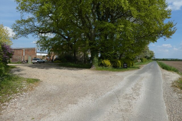
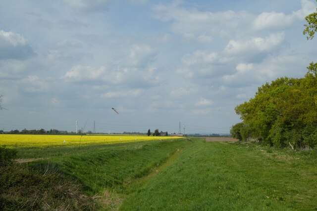
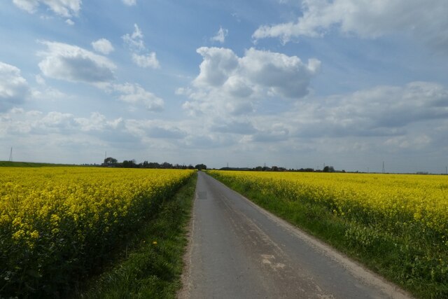
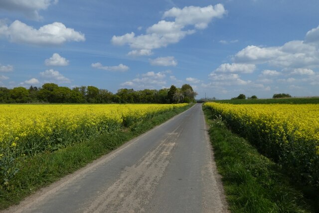
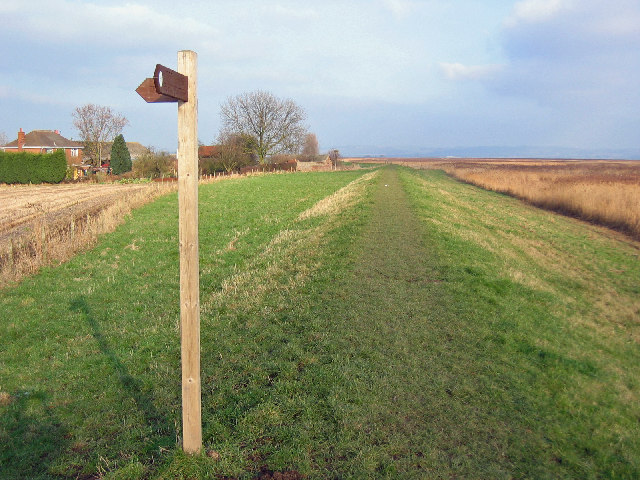
Staddlethorpe is a quiet and picturesque village, characterized by its charming rural setting. Surrounded by lush farmland and rolling countryside, it offers residents and visitors a tranquil retreat from the hustle and bustle of city life. The village is known for its traditional architecture, with many historic buildings still standing, including traditional stone cottages and farmhouses.

Although small in size, Staddlethorpe has a strong sense of community, with a close-knit population that takes pride in its village traditions. The village often organizes local events and festivities, providing opportunities for residents to come together and celebrate.

While Staddlethorpe does not have its own amenities such as shops or schools, the nearby village of Riccall offers a range of services just a short distance away. Here, residents can find a variety of shops, pubs, and schools, ensuring that all essential needs are met.

Overall, Staddlethorpe offers a peaceful and idyllic setting for those seeking a rural lifestyle, while still providing convenient access to nearby towns and cities. Its natural beauty and strong sense of community make it an appealing place to call home.

If you have any feedback on the listing, please let us know in the comments section below.

Staddlethorpe Images

Images are sourced within 2km of 53.719947/-0.72147746 or Grid Reference SE8425. Thanks to Geograph Open Source API. All images are credited.

Thornton Lands Looking along the lane to Faxfleet which also forms part of NCN65.
Thornton Lands
Looking along the lane to Faxfleet which also forms part of NCN65.
Drain near Clough House Looking onto farmland from the road between Faxfleet and Blacktoft.
Drain near Clough House
Looking onto farmland from the road between Faxfleet and Blacktoft.
Rape beside the lane to Blacktoft Also forming part of NCN65.
Rape beside the lane to Blacktoft
Also forming part of NCN65.
Rape along the lane to Faxfleet The lane also forms part of NCN65.
Rape along the lane to Faxfleet
The lane also forms part of NCN65.
Junction with Sparrowcroft Lane Looking through the village of Blacktoft from the eastern end. NCN65 passes through the village.
Junction with Sparrowcroft Lane
Looking through the village of Blacktoft from the eastern end. NCN65 passes through the village.
Pub sign for Hope and Anchor Looking along Blacktoft Lane in Blacktoft. NCN65 follows this lane through the village.
Pub sign for Hope and Anchor
Looking along Blacktoft Lane in Blacktoft. NCN65 follows this lane through the village.
Houses in Blacktoft Looking along Blacktoft Lane which also forms part of NCN65.
Houses in Blacktoft
Looking along Blacktoft Lane which also forms part of NCN65.
Bend on Blacktoft Lane Looking along Blacktoft Lane from a bench. The road forms part of NCN65.
Bend on Blacktoft Lane
Looking along Blacktoft Lane from a bench. The road forms part of NCN65.
Blacktoft Wharfe Looking towards a navigation site on the Ouse just upstream of the confluence with the Trent to form the Humber.
Blacktoft Wharfe
Looking towards a navigation site on the Ouse just upstream of the confluence with the Trent to form the Humber.
Path along the embankment Looking along a path beside the River Ouse in Blacktoft.
Path along the embankment
Looking along a path beside the River Ouse in Blacktoft.
Houses along Blacktoft Lane Looking along Blacktoft Lane which also forms part of NCN65.
Houses along Blacktoft Lane
Looking along Blacktoft Lane which also forms part of NCN65.
Blacktoft Warping Drain Looking along a field drain as it flows into the Ouse.
Blacktoft Warping Drain
Looking along a field drain as it flows into the Ouse.
Crossing Blacktoft Warping Drain Looking along Blacktoft Lane from the bridge over the drain. The lane also forms part of NCN65.
Crossing Blacktoft Warping Drain
Looking along Blacktoft Lane from the bridge over the drain. The lane also forms part of NCN65.
Blacktoft Lane from the bridge over Blacktoft Warping Drain Looking along Blacktoft Lane from the bridge over the drain. The lane also forms part of NCN65.
Blacktoft Lane from the bridge over Blacktoft Warping Drain
Looking along Blacktoft Lane from the bridge over the drain. The lane also forms part of NCN65.
Drain north of Blacktoft Lane Looking along a field drain which enters the Ouse a short distance to the south.
Drain north of Blacktoft Lane
Looking along a field drain which enters the Ouse a short distance to the south.
Permissive track by Yokefleet Drain
It's flat here!
It's flat here!
Staddlethorpe Grange Looking north along the road between Gilberdyke and Blacktoft as it passes Staddlethorpe Grange.
Staddlethorpe Grange
Looking north along the road between Gilberdyke and Blacktoft as it passes Staddlethorpe Grange.
Show me another place!

Staddlethorpe is located at Grid Ref: SE8425 (Lat: 53.719947, Lng: -0.72147746)

Division: East Riding

Unitary Authority: East Riding of Yorkshire

Police Authority: Humberside

What 3 Words

///inspected.gestures.celebrate. Near Gilberdyke, East Yorkshire

Nearby Locations

Staddlethorpe Blacktoft

Related Wikis

Blacktoft

Blacktoft is a village and civil parish in the East Riding of Yorkshire, England. The village is situated on the north bank of the River Ouse, 1 mile...

Blacktoft Sands RSPB reserve

Blacktoft Sands RSPB reserve is a nature reserve in the East Riding of Yorkshire, England. It is managed by the Royal Society for the Protection of Birds...

Faxfleet

Faxfleet is a hamlet and former civil parish, now in the parish of Blacktoft, in the East Riding of Yorkshire, England. It is situated approximately 6...

River Ouse, Yorkshire

The River Ouse ( OOZ) is a river in North Yorkshire, England. Hydrologically, the river is a continuation of the River Ure, and the combined length of...

Nearby Amenities

Located within 500m of 53.719947,-0.72147746
Staddlethorpe
Place: hamlet
Lat/Long: 53.7192341/-0.7211669
Staddlethorpe House
Place: isolated_dwelling
Lat/Long: 53.7224648/-0.7217244
The data included in this document is from www.openstreetmap.org. The data is made available under ODbL.

Have you been to Staddlethorpe?

Leave your review of Staddlethorpe below (or comments, questions and feedback).