Sotherton

Settlement in Suffolk East Suffolk

England

Sotherton

Church of St. Mary, Uggeshall <span class="nowrap"><a title="https://historicengland.org.uk/listing/the-list/list-entry/1284129?section=official-list-entry" rel="nofollow ugc noopener" href="https://historicengland.org.uk/listing/the-list/list-entry/1284129?section=official-list-entry">Link</a><img style="margin-left:2px;" alt="External link" title="External link - shift click to open in new window" src="https://s1.geograph.org.uk/img/external.png" width="10" height="10"/></span>
Church of St. Mary, Uggeshall Credit: Sandy Gerrard

Sotherton is a small village located in the county of Suffolk, in the East of England. Situated approximately 10 miles south-west of the town of Lowestoft, Sotherton is known for its picturesque countryside and charming rural character.

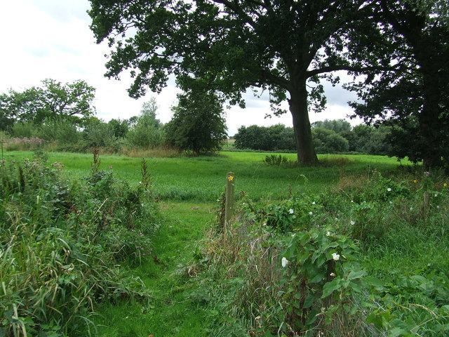
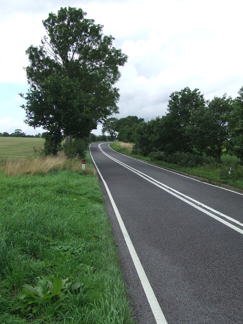
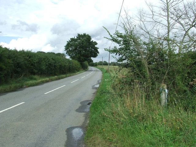
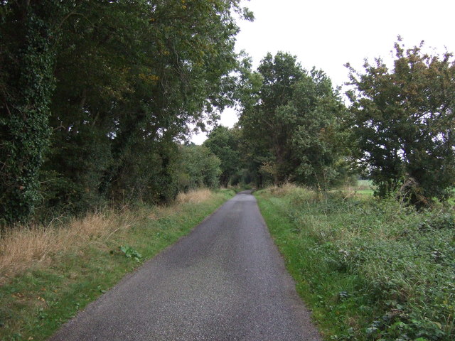
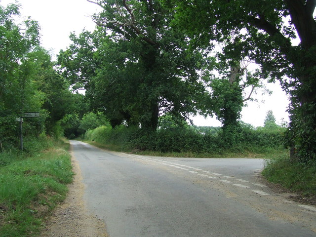
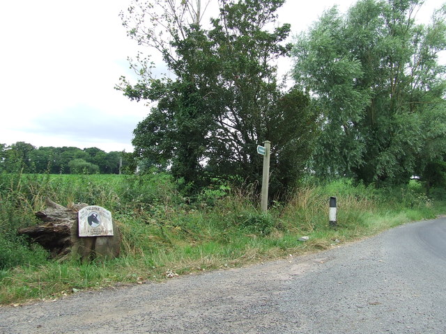
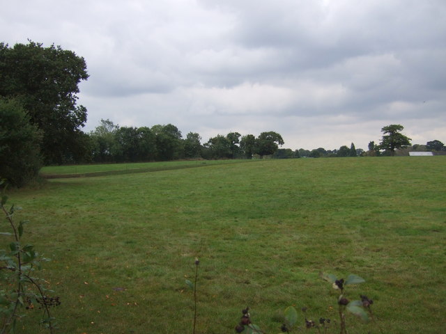
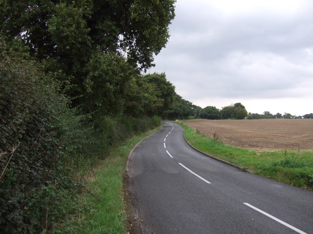
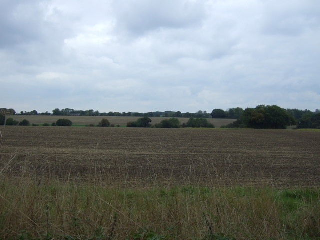
The village is home to a population of around 200 residents, who enjoy the peaceful and tranquil environment that Sotherton offers. The landscape is dominated by rolling green hills, vast fields, and dense woodlands, making it an ideal destination for nature lovers and outdoor enthusiasts. The area is also dotted with a number of quaint cottages and traditional farmhouses, adding to its rustic charm.

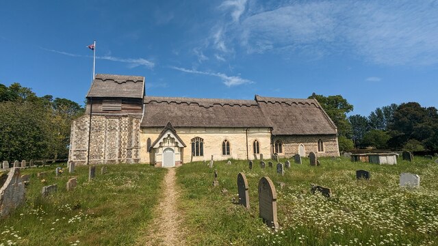
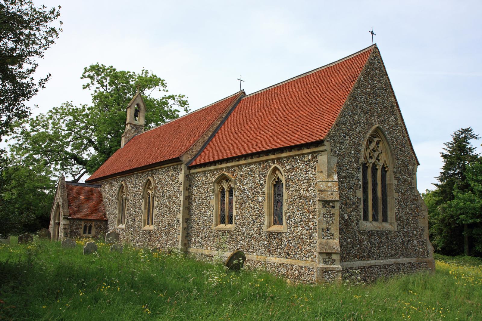
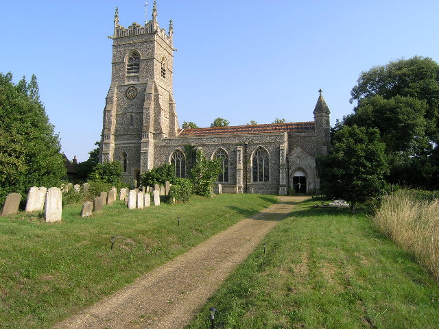
Sotherton is renowned for its historic church, St. Andrew's Church, which dates back to the 14th century. This impressive structure showcases stunning medieval architecture, including a beautifully carved rood screen and ancient stained glass windows. The church serves as a focal point for the community, hosting regular worship services and various community events throughout the year.

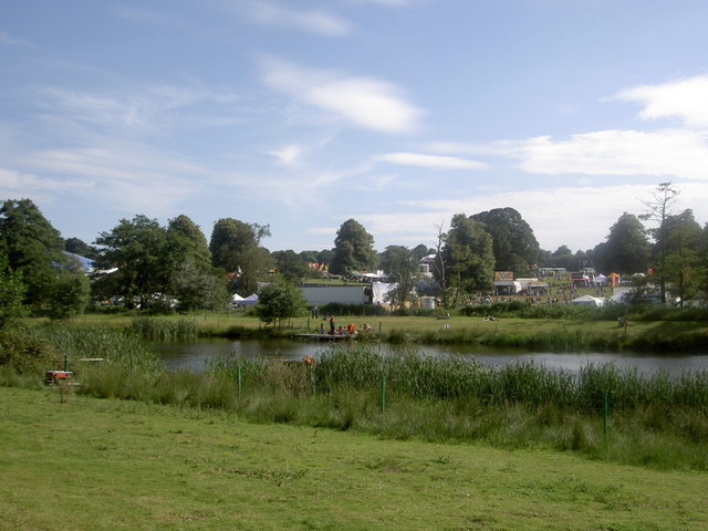
Although small in size, Sotherton benefits from a close-knit community that actively participates in local initiatives and events. The village hall is a hub of activity, hosting social gatherings, clubs, and meetings, fostering a strong sense of community spirit.

Overall, Sotherton provides a peaceful escape from the hustle and bustle of city life, offering residents and visitors alike the chance to immerse themselves in the beauty of the Suffolk countryside.

If you have any feedback on the listing, please let us know in the comments section below.
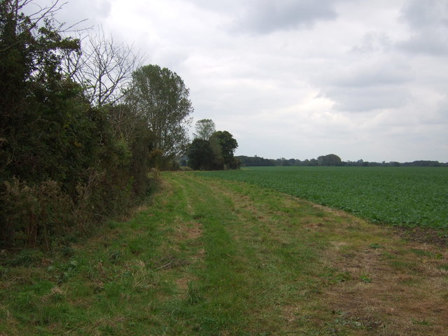
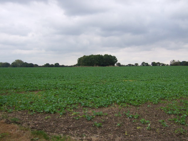
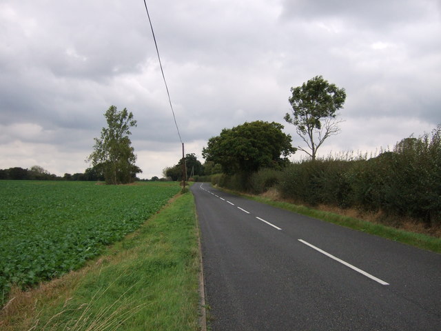
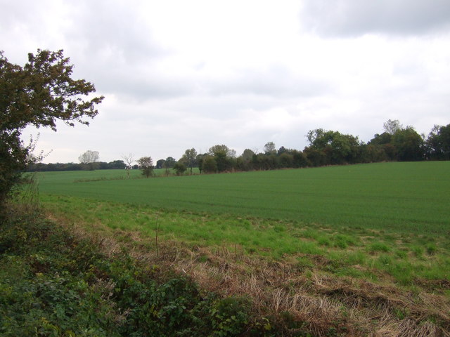
Sotherton Images

Images are sourced within 2km of 52.359599/1.5846316 or Grid Reference TM4479. Thanks to Geograph Open Source API. All images are credited.

Church of St. Mary, Uggeshall <span class="nowrap"><a title="https://historicengland.org.uk/listing/the-list/list-entry/1284129?section=official-list-entry" rel="nofollow ugc noopener" href="https://historicengland.org.uk/listing/the-list/list-entry/1284129?section=official-list-entry">Link</a><img style="margin-left:2px;" alt="External link" title="External link - shift click to open in new window" src="https://s1.geograph.org.uk/img/external.png" width="10" height="10"/></span>
Church of St. Mary, Uggeshall
Serpentine wall at Henham Park This is the westernmost wall of the four walls which form the boundary of the Henham Hall walled garden, its length, extending to 120 yards or 110 metres. There is one segmental-arched doorway built into the southern half of the wall. The other three walls are of the normal variety each having wide access gates and enclose a total of about three and one third acres.
Built in the late 18th and early 19th century of red brick with brick copings, and amounting to about 3.5m. high. It is listed as a grade II building. 
My grateful thanks to Hektor Rous for allowing me access.
Serpentine wall at Henham Park
This is the westernmost wall of the four walls which form the boundary of the Henham Hall walled garden, its length, extending to 120 yards or 110 metres. There is one segmental-arched doorway built into the southern half of the wall. The other three walls are of the normal variety each having wide access gates and enclose a total of about three and one third acres. Built in the late 18th and early 19th century of red brick with brick copings, and amounting to about 3.5m. high. It is listed as a grade II building. My grateful thanks to Hektor Rous for allowing me access.
A short length of serpentine wall on Henham Park The wall is close to, but not part of the 120 yards or 110 metre length of garden wall. <a href="https://www.geograph.org.uk/photo/7472571">TM4478 : Serpentine wall at Henham Park</a>
A short length of serpentine wall on Henham Park
The wall is close to, but not part of the 120 yards or 110 metre length of garden wall. TM4478 : Serpentine wall at Henham Park
Turn Right Footpath sign guiding you to the right as seen near to Stoven, Suffolk.
Turn Right
Footpath sign guiding you to the right as seen near to Stoven, Suffolk.
The A145 Looking north along the A145 near to Stoven, Suffolk.
The A145
Looking north along the A145 near to Stoven, Suffolk.
Halesworth Road Looking north along The Halesworth Road near to Brampton, Suffolk.
Halesworth Road
Looking north along The Halesworth Road near to Brampton, Suffolk.
St Mary Uggeshall The church of St Mary Uggeshall, Suffolk for more info see <span class="nowrap"><a title="http://www.suffolkchurches.co.uk/uggeshall.htm" rel="nofollow ugc noopener" href="http://www.suffolkchurches.co.uk/uggeshall.htm">Link</a><img style="margin-left:2px;" alt="External link" title="External link - shift click to open in new window" src="https://s1.geograph.org.uk/img/external.png" width="10" height="10"/></span>
St Mary Uggeshall
The church of St Mary Uggeshall, Suffolk for more info see LinkExternal link
Farm track (footpath) off Halesworth Road
Crop field off Halesworth Road
Halesworth Road (B1124) Looking south west.
Halesworth Road (B1124)
Looking south west.
Young crop field off Strawberry Lane
Strawberry Lane Looking north west.
Strawberry Lane
Looking north west.
Farm buildings near Stoven
Road Junction Road junction of The Green off Kings Lane near to Southerton Corner, Suffolk.
Road Junction
Road junction of The Green off Kings Lane near to Southerton Corner, Suffolk.
Footpath And Farm Entrance Footpath and farm entrance for Sotherton Low Farm near to Westhall, Suffolk.
Footpath And Farm Entrance
Footpath and farm entrance for Sotherton Low Farm near to Westhall, Suffolk.
Grazing, Sotherton Low Farm Off Halesworth Road (B1124).
Grazing, Sotherton Low Farm
Off Halesworth Road (B1124).
Halesworth Road (B1124) Looking south west.
Halesworth Road (B1124)
Looking south west.
Farmland north of the B1124
Show me another place!

Sotherton is located at Grid Ref: TM4479 (Lat: 52.359599, Lng: 1.5846316)

Administrative County: Suffolk

District: East Suffolk

Police Authority: Suffolk

What 3 Words

///slides.whiplash.riverboat. Near Halesworth, Suffolk

Related Wikis

Sotherton

Sotherton is a dispersed village and civil parish in the East Suffolk district, in the English county of Suffolk. It is located approximately 7 miles...

Uggeshall

Uggeshall is a village and civil parish in the East Suffolk district, in the county of Suffolk, England, located approximately 6 miles (10 km) south of...

Henham, Suffolk

Henham is a former civil parish now in the parish of Wangford with Henham, in the East Suffolk district, in the county of Suffolk, England. In 1961 the...

Wangford with Henham

Wangford with Henham is a civil parish in the East Suffolk district of the English county of Suffolk. It is around 5.5 miles (8.9 km) east of Halesworth...

Nearby Amenities

Located within 500m of 52.359599,1.5846316
Bus Stop
Church Crossroads
Bus: yes
Naptan AtcoCode: 390060110
Naptan Bearing: N
Naptan BusStopType: CUS
Naptan CommonName: Church Crossroads
Naptan Indicator: N-bound
Naptan Landmark: Church Crossroads
Naptan NaptanCode: sufgmpwt
Naptan Street: A145
Naptan Verified: no
Public Transport: platform
Shelter: no
Source: naptan_import
Lat/Long: 52.3586414/1.5880342
Bus Stop
Church Crossroads
Bus: yes
Naptan AtcoCode: 390060111
Naptan Bearing: S
Naptan BusStopType: CUS
Naptan CommonName: Church Crossroads
Naptan Indicator: S-bound
Naptan Landmark: Church Crossroads
Naptan NaptanCode: sufgmtad
Naptan Street: A145
Naptan Verified: no
Public Transport: platform
Source: naptan_import
Lat/Long: 52.3585724/1.5882343
Sotherton
Place: hamlet
Source: NLS - OS 1:25k 1st Series 1937-61
Wikidata: Q4654974
Lat/Long: 52.3581614/1.5845798
Parking
Fee: no
Parking: surface
Surface: compacted
Lat/Long: 52.3628195/1.5876218
Power: pole
Lat/Long: 52.357831/1.5900055
Material: wood
Power: pole
Lat/Long: 52.3578376/1.5879992
Power: pole
Lat/Long: 52.3578556/1.5859607
Power: pole
Lat/Long: 52.3578588/1.5844372
Power: pole
Lat/Long: 52.3578818/1.5816933
Power: pole
Lat/Long: 52.3579047/1.5800223
The data included in this document is from www.openstreetmap.org. The data is made available under ODbL.

Have you been to Sotherton?

Leave your review of Sotherton below (or comments, questions and feedback).