Uggeshall Hill

Hill, Mountain in Suffolk East Suffolk

England

Uggeshall Hill

Church of St Margaret, Stoven <span class="nowrap"><a title="https://historicengland.org.uk/listing/the-list/list-entry/1032100?section=official-list-entry" rel="nofollow ugc noopener" href="https://historicengland.org.uk/listing/the-list/list-entry/1032100?section=official-list-entry">Link</a><img style="margin-left:2px;" alt="External link" title="External link - shift click to open in new window" src="https://s1.geograph.org.uk/img/external.png" width="10" height="10"/></span>
Church of St Margaret, Stoven Credit: Sandy Gerrard

Uggeshall Hill, located in the county of Suffolk, England, is a small hill that boasts picturesque views and is a popular destination for outdoor enthusiasts. Despite its modest height, standing at just over 60 meters, the hill offers a charming and serene environment for nature lovers and hikers alike.

Situated in the village of Uggeshall, the hill is surrounded by rolling countryside, with lush green fields and woodlands stretching as far as the eye can see. It is part of the wider Uggeshall Nature Reserve, which is managed by the Suffolk Wildlife Trust, and is home to a diverse range of flora and fauna.

The hill itself is easily accessible, with well-marked pathways leading to its summit. As visitors ascend, they are greeted by panoramic views of the surrounding landscape, making it an ideal spot for photography enthusiasts. On a clear day, it is possible to see as far as the nearby coastal towns of Southwold and Walberswick.

Uggeshall Hill is not only a haven for wildlife and nature enthusiasts but also holds historical significance. It is believed to have been a site of human activity dating back to the Iron Age, with archaeological evidence suggesting the presence of ancient settlements in the area.

Overall, Uggeshall Hill offers a tranquil escape from the bustle of everyday life, providing an opportunity to connect with nature, enjoy breathtaking views, and immerse oneself in the rich history of the Suffolk countryside.

If you have any feedback on the listing, please let us know in the comments section below.

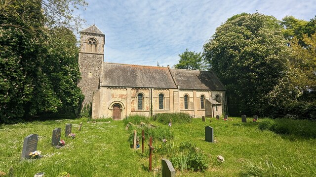
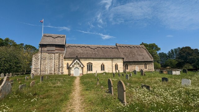
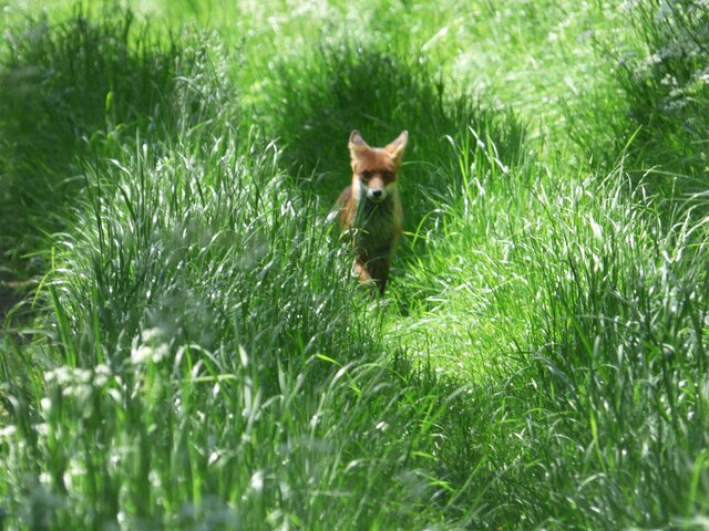
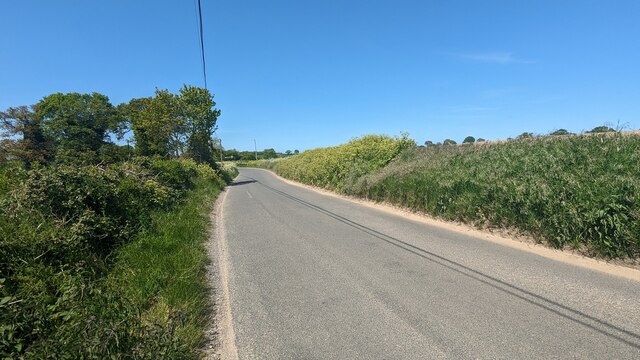
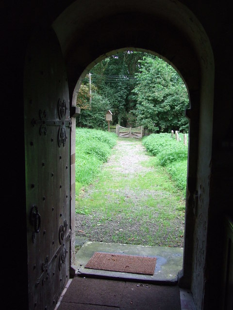
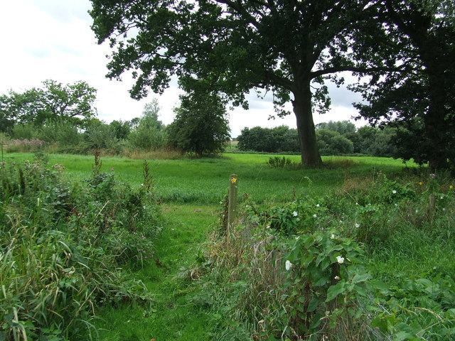
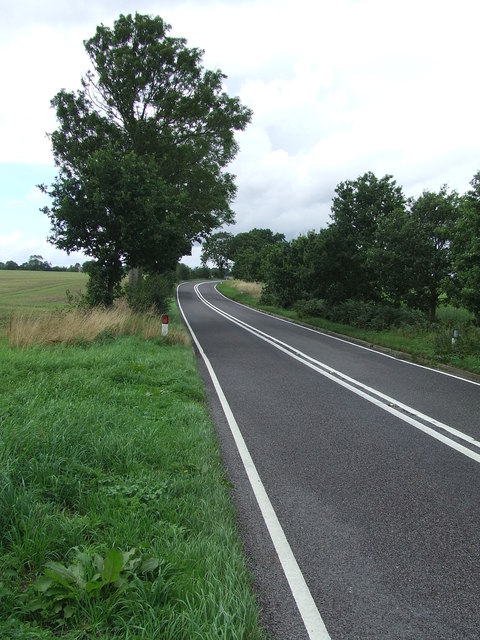
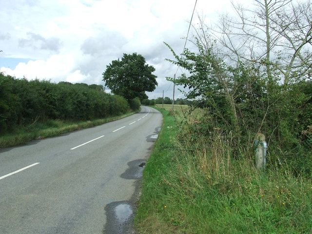
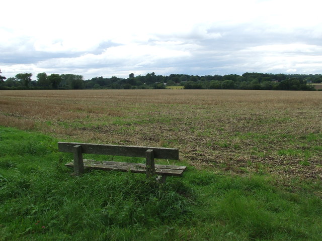
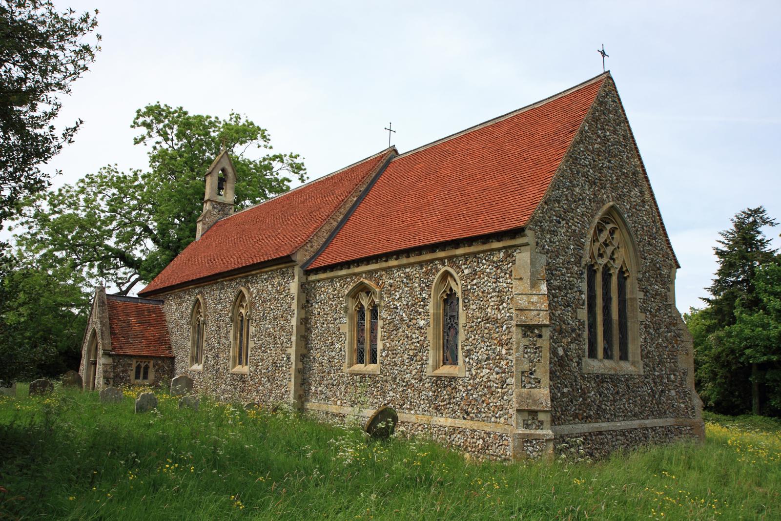
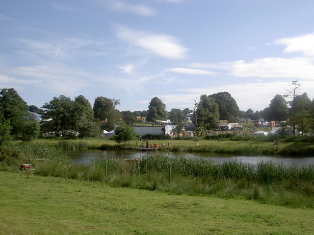
Uggeshall Hill Images

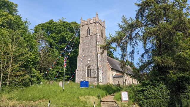
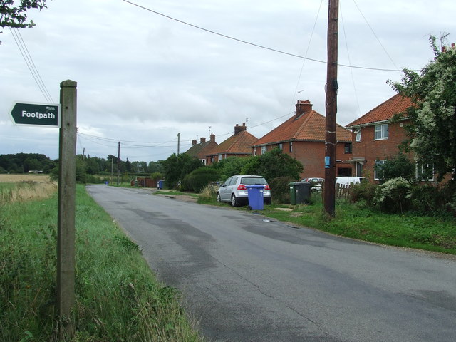
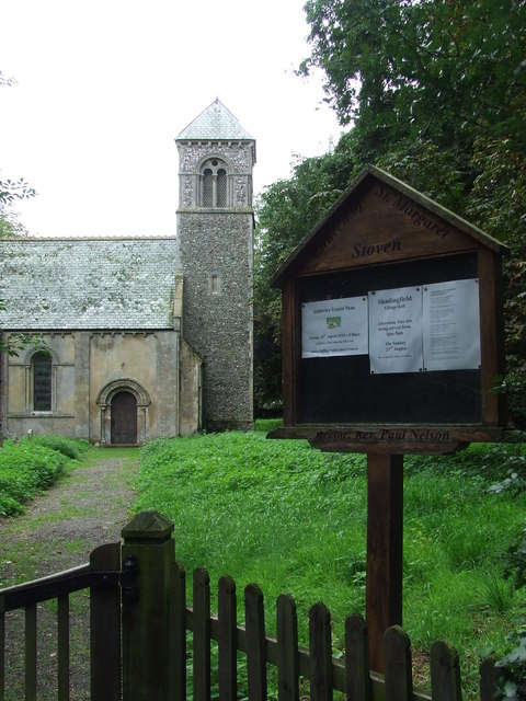
Images are sourced within 2km of 52.363311/1.5921318 or Grid Reference TM4479. Thanks to Geograph Open Source API. All images are credited.

Church of St Margaret, Stoven <span class="nowrap"><a title="https://historicengland.org.uk/listing/the-list/list-entry/1032100?section=official-list-entry" rel="nofollow ugc noopener" href="https://historicengland.org.uk/listing/the-list/list-entry/1032100?section=official-list-entry">Link</a><img style="margin-left:2px;" alt="External link" title="External link - shift click to open in new window" src="https://s1.geograph.org.uk/img/external.png" width="10" height="10"/></span>
Church of St Margaret, Stoven
Church of St. Mary, Uggeshall <span class="nowrap"><a title="https://historicengland.org.uk/listing/the-list/list-entry/1284129?section=official-list-entry" rel="nofollow ugc noopener" href="https://historicengland.org.uk/listing/the-list/list-entry/1284129?section=official-list-entry">Link</a><img style="margin-left:2px;" alt="External link" title="External link - shift click to open in new window" src="https://s1.geograph.org.uk/img/external.png" width="10" height="10"/></span>
Church of St. Mary, Uggeshall
Fox at Block's Lane, Stoven
Road from Wangford to Uggeshall
Church of St. Peter, Brampton <span class="nowrap"><a title="https://historicengland.org.uk/listing/the-list/list-entry/1352565?section=official-list-entry" rel="nofollow ugc noopener" href="https://historicengland.org.uk/listing/the-list/list-entry/1352565?section=official-list-entry">Link</a><img style="margin-left:2px;" alt="External link" title="External link - shift click to open in new window" src="https://s1.geograph.org.uk/img/external.png" width="10" height="10"/></span>
Church of St. Peter, Brampton
Serpentine wall at Henham Park This is the westernmost wall of the four walls which form the boundary of the Henham Hall walled garden, its length, extending to 120 yards or 110 metres. There is one segmental-arched doorway built into the southern half of the wall. The other three walls are of the normal variety each having wide access gates and enclose a total of about three and one third acres.
Built in the late 18th and early 19th century of red brick with brick copings, and amounting to about 3.5m. high. It is listed as a grade II building. 
My grateful thanks to Hektor Rous for allowing me access.
Serpentine wall at Henham Park
This is the westernmost wall of the four walls which form the boundary of the Henham Hall walled garden, its length, extending to 120 yards or 110 metres. There is one segmental-arched doorway built into the southern half of the wall. The other three walls are of the normal variety each having wide access gates and enclose a total of about three and one third acres. Built in the late 18th and early 19th century of red brick with brick copings, and amounting to about 3.5m. high. It is listed as a grade II building. My grateful thanks to Hektor Rous for allowing me access.
A short length of serpentine wall on Henham Park The wall is close to, but not part of the 120 yards or 110 metre length of garden wall. <a href="https://www.geograph.org.uk/photo/7472571">TM4478 : Serpentine wall at Henham Park</a>
A short length of serpentine wall on Henham Park
The wall is close to, but not part of the 120 yards or 110 metre length of garden wall. TM4478 : Serpentine wall at Henham Park
Footpath Sign Footpath sign of minor road at Stoven, Suffolk.
Footpath Sign
Footpath sign of minor road at Stoven, Suffolk.
St Margaret Stoven The church and church notice board of St Margaret, Stoven, Suffolk for info on the church see <span class="nowrap"><a title="http://www.suffolkchurches.co.uk/stoven.htm" rel="nofollow ugc noopener" href="http://www.suffolkchurches.co.uk/stoven.htm">Link</a><img style="margin-left:2px;" alt="External link" title="External link - shift click to open in new window" src="https://s1.geograph.org.uk/img/external.png" width="10" height="10"/></span>
St Margaret Stoven
The church and church notice board of St Margaret, Stoven, Suffolk for info on the church see LinkExternal link
War Memorial War memorial and roll of honour for the village of Stoven, Suffolk in the village church of St Margaret.
War Memorial
War memorial and roll of honour for the village of Stoven, Suffolk in the village church of St Margaret.
View from the door View from the door of St Margaret, Stoven, Suffolk.
View from the door
View from the door of St Margaret, Stoven, Suffolk.
Turn Right Footpath sign guiding you to the right as seen near to Stoven, Suffolk.
Turn Right
Footpath sign guiding you to the right as seen near to Stoven, Suffolk.
The A145 Looking north along the A145 near to Stoven, Suffolk.
The A145
Looking north along the A145 near to Stoven, Suffolk.
Halesworth Road Looking north along The Halesworth Road near to Brampton, Suffolk.
Halesworth Road
Looking north along The Halesworth Road near to Brampton, Suffolk.
Country Seat Seat with a view near to Stoven, Suffolk.
Country Seat
Seat with a view near to Stoven, Suffolk.
Open Gate Open gate near to Stoven, Suffolk.
Open Gate
Open gate near to Stoven, Suffolk.
St Mary Uggeshall The church of St Mary Uggeshall, Suffolk for more info see <span class="nowrap"><a title="http://www.suffolkchurches.co.uk/uggeshall.htm" rel="nofollow ugc noopener" href="http://www.suffolkchurches.co.uk/uggeshall.htm">Link</a><img style="margin-left:2px;" alt="External link" title="External link - shift click to open in new window" src="https://s1.geograph.org.uk/img/external.png" width="10" height="10"/></span>
St Mary Uggeshall
The church of St Mary Uggeshall, Suffolk for more info see LinkExternal link
St Peter Brampton The church of St Peter, Brampton, Suffolk; for info on the church see <span class="nowrap"><a title="http://www.suffolkchurches.co.uk/brampton.htm" rel="nofollow ugc noopener" href="http://www.suffolkchurches.co.uk/brampton.htm">Link</a><img style="margin-left:2px;" alt="External link" title="External link - shift click to open in new window" src="https://s1.geograph.org.uk/img/external.png" width="10" height="10"/></span>
St Peter Brampton
The church of St Peter, Brampton, Suffolk; for info on the church see LinkExternal link
Show me another place!

Uggeshall Hill is located at Grid Ref: TM4479 (Lat: 52.363311, Lng: 1.5921318)

Administrative County: Suffolk

District: East Suffolk

Police Authority: Suffolk

What 3 Words

///carbon.looked.mush. Near Halesworth, Suffolk

Related Wikis

Uggeshall

Uggeshall is a village and civil parish in the East Suffolk district, in the county of Suffolk, England, located approximately 6 miles (10 km) south of...

Sotherton

Sotherton is a dispersed village and civil parish in the East Suffolk district, in the English county of Suffolk. It is located approximately 7 miles...

Henham, Suffolk

Henham is a former civil parish now in the parish of Wangford with Henham, in the East Suffolk district, in the county of Suffolk, England. In 1961 the...

Stoven

Stoven is a village and former civil parish now in the parish of Brampton with Stoven, in the East Suffolk district of the English county of Suffolk. It...

Nearby Amenities

Located within 500m of 52.363311,1.5921318
Uggeshall
Place: village
Wikidata: Q2963189
Lat/Long: 52.3645718/1.5968051
Bus Stop
Stoven Road
Bus: yes
Naptan AtcoCode: 390070862
Naptan Bearing: S
Naptan BusStopType: CUS
Naptan CommonName: Stoven Road
Naptan Indicator: S-bound
Naptan Landmark: Stoven Road
Naptan NaptanCode: sufjmjga
Naptan Street: The Hills
Naptan Verified: no
Public Transport: platform
Source: naptan_import
Lat/Long: 52.3635021/1.5938355
Bus Stop
Stoven Road
Bus: yes
Naptan AtcoCode: 390070863
Naptan Bearing: N
Naptan BusStopType: CUS
Naptan CommonName: Stoven Road
Naptan Indicator: N-bound
Naptan Landmark: Stoven Road
Naptan NaptanCode: sufjmjgd
Naptan Street: The Hills
Naptan Verified: no
Public Transport: platform
Source: naptan_import
Lat/Long: 52.3635164/1.5936604
Parking
Fee: no
Parking: surface
Surface: compacted
Lat/Long: 52.3628195/1.5876218
Note: Gate or stile here??
Lat/Long: 52.3648076/1.5981128
The data included in this document is from www.openstreetmap.org. The data is made available under ODbL.

Have you been to Uggeshall Hill?

Leave your review of Uggeshall Hill below (or comments, questions and feedback).