Manor Sand Pit

Wood, Forest in Suffolk East Suffolk

England

Manor Sand Pit

Church of St. Mary, Uggeshall <span class="nowrap"><a title="https://historicengland.org.uk/listing/the-list/list-entry/1284129?section=official-list-entry" rel="nofollow ugc noopener" href="https://historicengland.org.uk/listing/the-list/list-entry/1284129?section=official-list-entry">Link</a><img style="margin-left:2px;" alt="External link" title="External link - shift click to open in new window" src="https://s1.geograph.org.uk/img/external.png" width="10" height="10"/></span>
Church of St. Mary, Uggeshall Credit: Sandy Gerrard

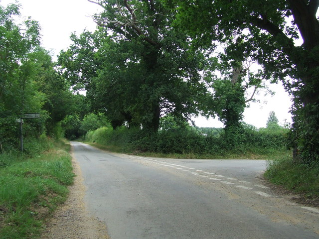
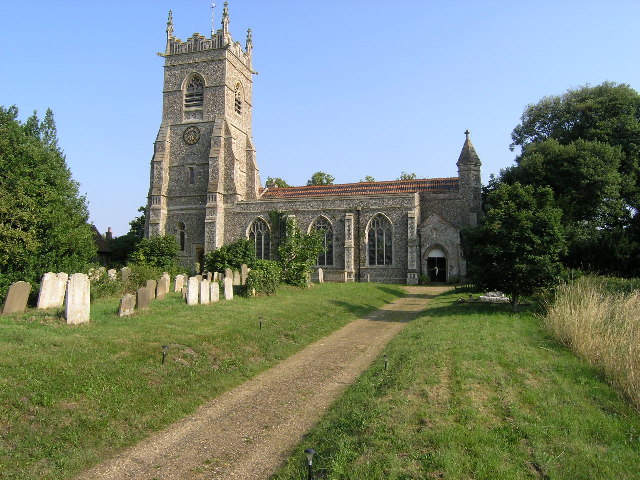
Manor Sand Pit is a picturesque woodland area located in Suffolk, England. Nestled within the county's beautiful countryside, this forested land spans over an area of approximately 50 acres. It is a popular destination for nature enthusiasts, hikers, and families seeking a peaceful escape from the bustling city life.

The wood is known for its diverse range of tree species, including oak, beech, and pine, which provide a dense and lush canopy. Walking through the forest, one can admire the vibrant colors of the changing leaves during autumn or the fresh greenery that emerges in spring.

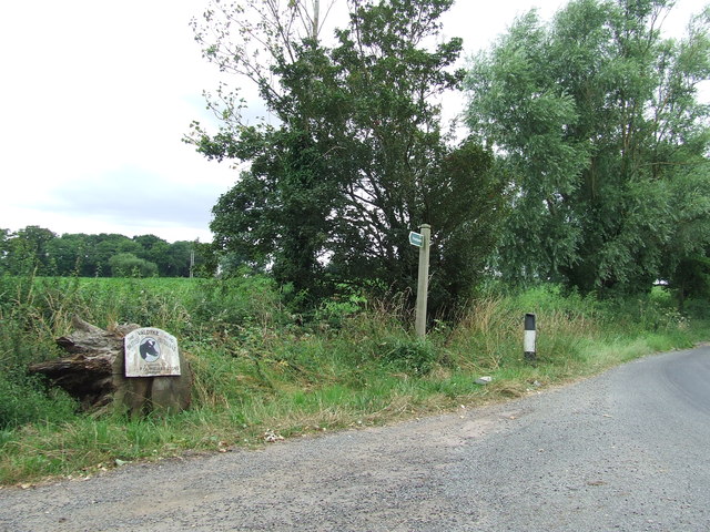
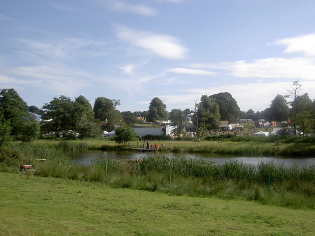
Manor Sand Pit offers a variety of trails and pathways, allowing visitors to explore the area at their own pace. These paths lead to hidden gems such as tranquil ponds, where one can spot various aquatic creatures and observe the serene reflection of the surrounding trees.

The wood is also home to a rich array of wildlife. Birdwatchers can enjoy the sight of different species, such as woodpeckers, owls, and thrushes, while lucky visitors might even catch a glimpse of deer or foxes that roam the area.

For those interested in history, Manor Sand Pit has a fascinating past. It was once part of an estate and served as a sand quarry in the early 20th century. Today, remnants of the quarry can still be seen, adding an intriguing element to the woodland's character.

Overall, Manor Sand Pit in Suffolk offers a wonderful opportunity to connect with nature, providing a serene and rejuvenating experience for all who visit.

If you have any feedback on the listing, please let us know in the comments section below.

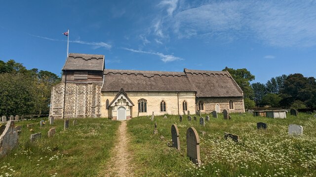
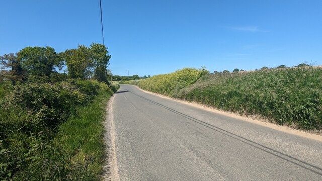
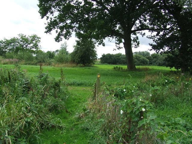
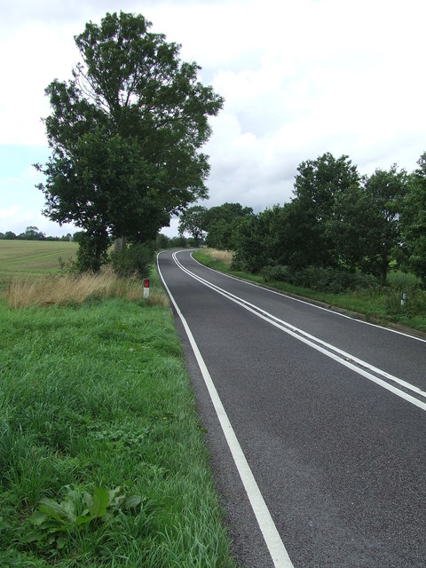
Manor Sand Pit Images

Images are sourced within 2km of 52.355816/1.5927867 or Grid Reference TM4479. Thanks to Geograph Open Source API. All images are credited.

Church of St. Mary, Uggeshall <span class="nowrap"><a title="https://historicengland.org.uk/listing/the-list/list-entry/1284129?section=official-list-entry" rel="nofollow ugc noopener" href="https://historicengland.org.uk/listing/the-list/list-entry/1284129?section=official-list-entry">Link</a><img style="margin-left:2px;" alt="External link" title="External link - shift click to open in new window" src="https://s1.geograph.org.uk/img/external.png" width="10" height="10"/></span>
Church of St. Mary, Uggeshall
Road from Wangford to Uggeshall
Serpentine wall at Henham Park This is the westernmost wall of the four walls which form the boundary of the Henham Hall walled garden, its length, extending to 120 yards or 110 metres. There is one segmental-arched doorway built into the southern half of the wall. The other three walls are of the normal variety each having wide access gates and enclose a total of about three and one third acres.
Built in the late 18th and early 19th century of red brick with brick copings, and amounting to about 3.5m. high. It is listed as a grade II building. 
My grateful thanks to Hektor Rous for allowing me access.
Serpentine wall at Henham Park
This is the westernmost wall of the four walls which form the boundary of the Henham Hall walled garden, its length, extending to 120 yards or 110 metres. There is one segmental-arched doorway built into the southern half of the wall. The other three walls are of the normal variety each having wide access gates and enclose a total of about three and one third acres. Built in the late 18th and early 19th century of red brick with brick copings, and amounting to about 3.5m. high. It is listed as a grade II building. My grateful thanks to Hektor Rous for allowing me access.
A short length of serpentine wall on Henham Park The wall is close to, but not part of the 120 yards or 110 metre length of garden wall. <a href="https://www.geograph.org.uk/photo/7472571">TM4478 : Serpentine wall at Henham Park</a>
A short length of serpentine wall on Henham Park
The wall is close to, but not part of the 120 yards or 110 metre length of garden wall. TM4478 : Serpentine wall at Henham Park
Serpentine wall at Parson's Meadow, Wangford A serpentine or crinkle-crankle wall was initially designed to save bricks and reduce to cost of building walls. Suffolk seems to be the historical birthplace of the metamorphic remodelling of the straightforward into the curiously peculiar.
A wavy wall can be built with the thickness of a single brick and is self supporting even in very strong winds whereas a straight wall requires a thickness of at least two bricks (9 inches) and even buttresses if raised over about three feet.

Wikipedia has a few words to add: A crinkle crankle wall, also known as a crinkum crankum, slangenmuur  (snake-wall) sinusoidal, serpentine, ribbon or wavy wall, is an unusual type of structural or garden wall built in a serpentine shape with alternating curves, originally used in Ancient Egypt, but also typically found in Suffolk in England.
The alternate convex and concave curves in the wall provide stability and help it to resist lateral forces,  leading to greater strength than a straight wall of the same thickness of bricks without the need for buttresses.
The phrase "crinkle crankle" is an ablaut reduplication, defined as something with bends and turns, first attested in 1598 (though "crinkle" and "crankle" have somewhat longer histories).
Serpentine wall at Parson's Meadow, Wangford
A serpentine or crinkle-crankle wall was initially designed to save bricks and reduce to cost of building walls. Suffolk seems to be the historical birthplace of the metamorphic remodelling of the straightforward into the curiously peculiar. A wavy wall can be built with the thickness of a single brick and is self supporting even in very strong winds whereas a straight wall requires a thickness of at least two bricks (9 inches) and even buttresses if raised over about three feet. Wikipedia has a few words to add: A crinkle crankle wall, also known as a crinkum crankum, slangenmuur (snake-wall) sinusoidal, serpentine, ribbon or wavy wall, is an unusual type of structural or garden wall built in a serpentine shape with alternating curves, originally used in Ancient Egypt, but also typically found in Suffolk in England. The alternate convex and concave curves in the wall provide stability and help it to resist lateral forces, leading to greater strength than a straight wall of the same thickness of bricks without the need for buttresses. The phrase "crinkle crankle" is an ablaut reduplication, defined as something with bends and turns, first attested in 1598 (though "crinkle" and "crankle" have somewhat longer histories).
Old Post Office at Wangford <span class="nowrap"><a title="https://historicengland.org.uk/listing/the-list/list-entry/1182410?section=official-list-entry" rel="nofollow ugc noopener" href="https://historicengland.org.uk/listing/the-list/list-entry/1182410?section=official-list-entry">Link</a><img style="margin-left:2px;" alt="External link" title="External link - shift click to open in new window" src="https://s1.geograph.org.uk/img/external.png" width="10" height="10"/></span>
Old Post Office at Wangford
Turn Right Footpath sign guiding you to the right as seen near to Stoven, Suffolk.
Turn Right
Footpath sign guiding you to the right as seen near to Stoven, Suffolk.
The A145 Looking north along the A145 near to Stoven, Suffolk.
The A145
Looking north along the A145 near to Stoven, Suffolk.
St Mary Uggeshall The church of St Mary Uggeshall, Suffolk for more info see <span class="nowrap"><a title="http://www.suffolkchurches.co.uk/uggeshall.htm" rel="nofollow ugc noopener" href="http://www.suffolkchurches.co.uk/uggeshall.htm">Link</a><img style="margin-left:2px;" alt="External link" title="External link - shift click to open in new window" src="https://s1.geograph.org.uk/img/external.png" width="10" height="10"/></span>
St Mary Uggeshall
The church of St Mary Uggeshall, Suffolk for more info see LinkExternal link
Road Junction Road junction of The Green off Kings Lane near to Southerton Corner, Suffolk.
Road Junction
Road junction of The Green off Kings Lane near to Southerton Corner, Suffolk.
Footpath And Farm Entrance Footpath and farm entrance for Sotherton Low Farm near to Westhall, Suffolk.
Footpath And Farm Entrance
Footpath and farm entrance for Sotherton Low Farm near to Westhall, Suffolk.
SS Peter & Paul, Wangford: early August 2016
SS Peter & Paul, Wangford: war memorial
Traffic jam in Wangford
SS Peter & Paul, Wangford: churchyard (a)
SS Peter & Paul, Wangford: churchyard (b)
SS Peter & Paul, Wangford: churchyard (c)
SS Peter & Paul, Wangford: churchyard (d) Also see <span class="nowrap"><a title="https://en.wikipedia.org/wiki/John_Rous,_4th_Earl_of_Stradbroke" rel="nofollow ugc noopener" href="https://en.wikipedia.org/wiki/John_Rous,_4th_Earl_of_Stradbroke">Link</a><img style="margin-left:2px;" alt="External link" title="External link - shift click to open in new window" src="https://s1.geograph.org.uk/img/external.png" width="10" height="10"/></span>
SS Peter & Paul, Wangford: churchyard (d)
Also see LinkExternal link
Show me another place!

Manor Sand Pit is located at Grid Ref: TM4479 (Lat: 52.355816, Lng: 1.5927867)

Administrative County: Suffolk

District: East Suffolk

Police Authority: Suffolk

What 3 Words

///discloses.oxidation.prom. Near Halesworth, Suffolk

Related Wikis

Sotherton

Sotherton is a dispersed village and civil parish in the East Suffolk district, in the English county of Suffolk. It is located approximately 7 miles...

Uggeshall

Uggeshall is a village and civil parish in the East Suffolk district, in the county of Suffolk, England, located approximately 6 miles (10 km) south of...

Henham, Suffolk

Henham is a former civil parish now in the parish of Wangford with Henham, in the East Suffolk district, in the county of Suffolk, England. In 1961 the...

Wangford with Henham

Wangford with Henham is a civil parish in the East Suffolk district of the English county of Suffolk. It is around 5.5 miles (8.9 km) east of Halesworth...

Nearby Amenities

Located within 500m of 52.355816,1.5927867
Crossroads
Naptan AtcoCode: 390060105
Naptan Bearing: S
Naptan BusStopType: CUS
Naptan CommonName: Crossroads
Naptan Indicator: S-bound
Naptan Landmark: Crossroads
Naptan NaptanCode: sufgmpwd
Naptan Street: A145
Naptan Verified: no
Source: naptan_import
Lat/Long: 52.3522562/1.5885888
Bus Stop
Church Crossroads
Bus: yes
Naptan AtcoCode: 390060110
Naptan Bearing: N
Naptan BusStopType: CUS
Naptan CommonName: Church Crossroads
Naptan Indicator: N-bound
Naptan Landmark: Church Crossroads
Naptan NaptanCode: sufgmpwt
Naptan Street: A145
Naptan Verified: no
Public Transport: platform
Shelter: no
Source: naptan_import
Lat/Long: 52.3586414/1.5880342
Bus Stop
Church Crossroads
Bus: yes
Naptan AtcoCode: 390060111
Naptan Bearing: S
Naptan BusStopType: CUS
Naptan CommonName: Church Crossroads
Naptan Indicator: S-bound
Naptan Landmark: Church Crossroads
Naptan NaptanCode: sufgmtad
Naptan Street: A145
Naptan Verified: no
Public Transport: platform
Source: naptan_import
Lat/Long: 52.3585724/1.5882343
Crossroads
Naptan AtcoCode: 390060980
Naptan Bearing: N
Naptan BusStopType: CUS
Naptan CommonName: Crossroads
Naptan Indicator: N-bound
Naptan Landmark: Crossroads
Naptan NaptanCode: sufjmdjt
Naptan Street: A145
Naptan Verified: no
Source: naptan_import
Lat/Long: 52.3523867/1.5884378
Power: pole
Lat/Long: 52.3575787/1.5977678
Power: pole
Lat/Long: 52.3577802/1.5959787
Power: pole
Lat/Long: 52.3577835/1.5946376
Power: pole
Lat/Long: 52.35779/1.5932938
Power: pole
Lat/Long: 52.3577966/1.5916496
Power: pole
Lat/Long: 52.357831/1.5900055
Material: wood
Power: pole
Lat/Long: 52.3578376/1.5879992
The data included in this document is from www.openstreetmap.org. The data is made available under ODbL.

Have you been to Manor Sand Pit?

Leave your review of Manor Sand Pit below (or comments, questions and feedback).