Shillinghill
Settlement in Ross-shire
Scotland
Shillinghill
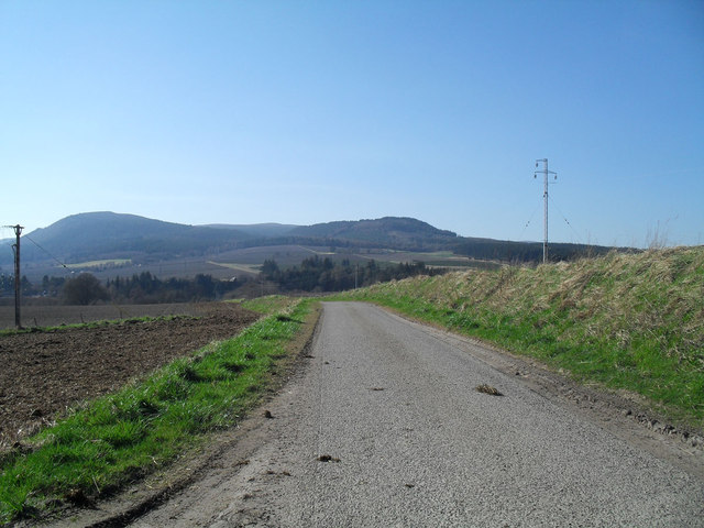
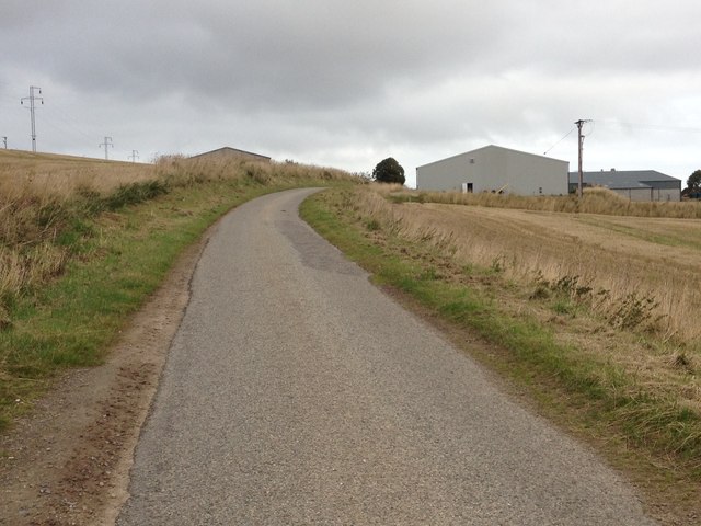
Shillinghill is a charming village located in the county of Ross-shire, in the northern part of Scotland. Situated in the picturesque Scottish Highlands, it is nestled amidst rolling hills and breathtaking landscapes. The village is part of the wider community of Ross and Cromarty, and it offers a peaceful and idyllic setting for residents and visitors alike.
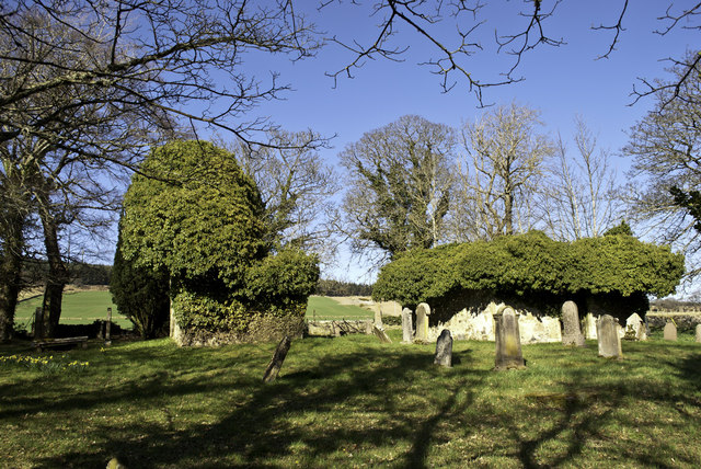
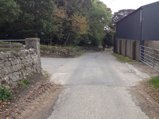
Despite its small size, Shillinghill boasts a rich history that dates back centuries. Evidence of ancient settlements and historical landmarks can be found throughout the area, attracting history enthusiasts and archaeology lovers. The village maintains a traditional Scottish character, with its stone cottages and well-preserved buildings blending seamlessly with the natural surroundings.
The community of Shillinghill is tight-knit and welcoming, with a population of around 300 residents. The village offers a range of amenities to cater to the needs of its inhabitants, including a local school, a village hall, and a few small businesses. The area also benefits from its proximity to larger towns and cities, with Inverness, the capital of the Highlands, located around 30 miles away.
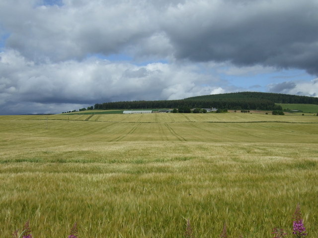
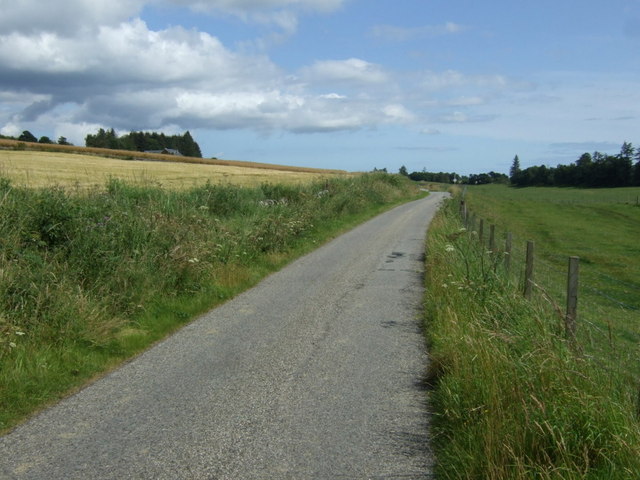
Nature enthusiasts are drawn to Shillinghill for its breathtaking scenery and outdoor recreational opportunities. The surrounding countryside offers ample opportunities for hiking, cycling, and wildlife spotting. The nearby Black Isle peninsula provides stunning coastal walks and beautiful sandy beaches, adding to the area's natural beauty.
In summary, Shillinghill is a tranquil and historic village, offering a peaceful escape in the midst of Scotland's stunning Highlands. With its rich heritage, natural beauty, and welcoming community, it is a hidden gem for those seeking a slower pace of life and a connection with Scotland's past.
If you have any feedback on the listing, please let us know in the comments section below.
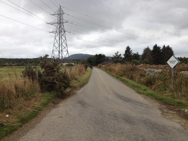
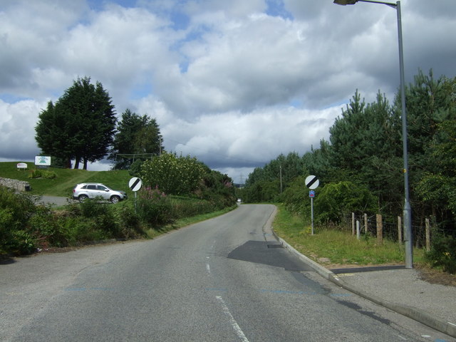
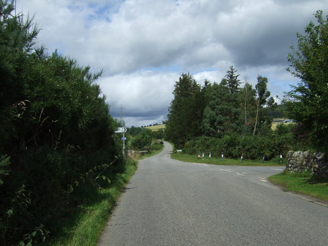
Shillinghill Images
Images are sourced within 2km of 57.695498/-4.2497344 or Grid Reference NH6669. Thanks to Geograph Open Source API. All images are credited.


Shillinghill is located at Grid Ref: NH6669 (Lat: 57.695498, Lng: -4.2497344)
Unitary Authority: Highland
Police Authority: Highlands and Islands
What 3 Words
///concerts.burying.ruling. Near Alness, Highland
Nearby Locations
Related Wikis
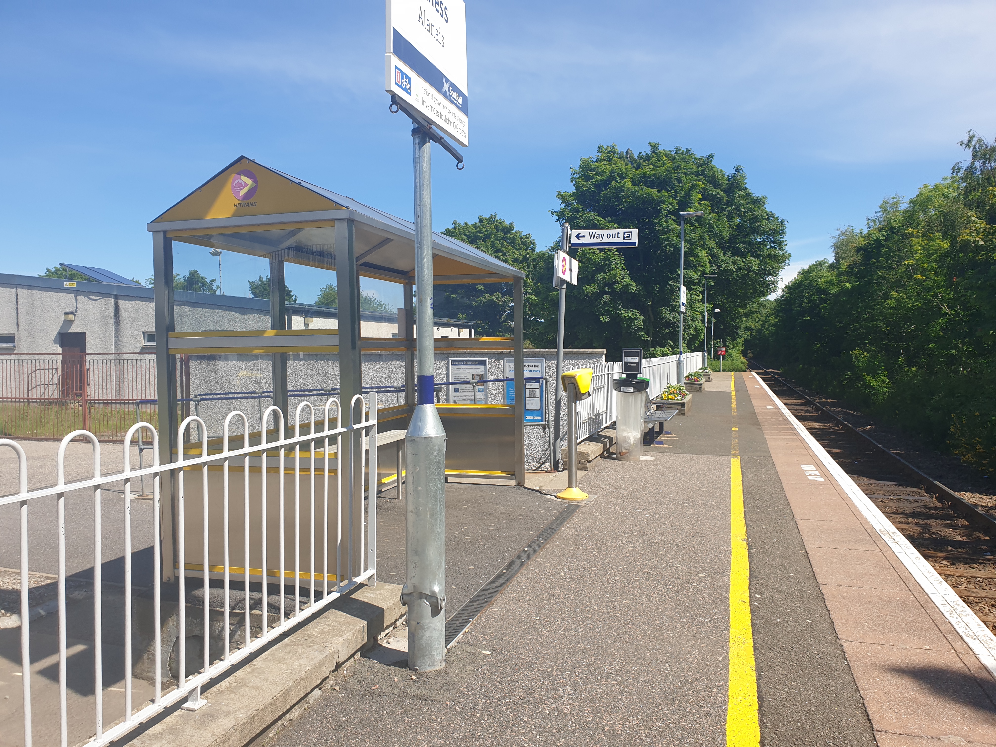
Alness railway station
Alness railway station is a railway station on the Far North Line, serving the town of Alness, on the Cromarty Firth, in the Highland council area of Scotland...

Alness Academy
Alness Academy (Scottish Gaelic: Acadamaidh Alanais) is a secondary school in Alness, Highland in the north on the Cromarty Firth of Scotland, serving...
Alness United F.C.
Alness United Football Club are a Scottish football club based in Alness, Highland. They currently compete in the North Caledonian Football League and...

Alness
Alness (, AWL-nis; Scottish Gaelic: Alanais) is a town and civil parish in Ross and Cromarty, Scotland. It lies near the mouth of the River Averon, near...
Nearby Amenities
Located within 500m of 57.695498,-4.2497344Have you been to Shillinghill?
Leave your review of Shillinghill below (or comments, questions and feedback).