Alanais
Settlement in Ross-shire
Scotland
Alanais
Alanais is a small village located in the county of Ross-shire, Scotland. Situated in the Scottish Highlands, it is nestled between the picturesque mountain ranges and lush green valleys that characterize the region. The village is part of the wider administrative area of Ross and Cromarty.
With a population of around 500 inhabitants, Alanais maintains a close-knit community atmosphere. The village is primarily residential, consisting of traditional stone cottages and a few modern houses. The surrounding landscape offers breathtaking views, attracting visitors who seek to explore the natural beauty of the area.
Alanais benefits from its proximity to various outdoor recreational activities. The nearby River Ness is a popular spot for fishing enthusiasts, renowned for its salmon and trout stocks. Additionally, the village is surrounded by expansive forests, making it an ideal location for hiking, cycling, and wildlife spotting.
Despite its small size, Alanais boasts a few amenities to cater to its residents. The village has a local convenience store, providing essential groceries and supplies. For more extensive shopping needs, residents can easily access larger towns within a short drive.
Transportation in Alanais is primarily reliant on private vehicles, given the village's rural location. However, public transportation options, such as buses, are available, connecting residents to neighboring towns and cities.
In summary, Alanais offers a tranquil and scenic setting for those seeking a peaceful lifestyle amidst the stunning Scottish Highlands. Its natural surroundings and close community make it an attractive location for both residents and visitors looking to immerse themselves in the beauty of Ross-shire.
If you have any feedback on the listing, please let us know in the comments section below.
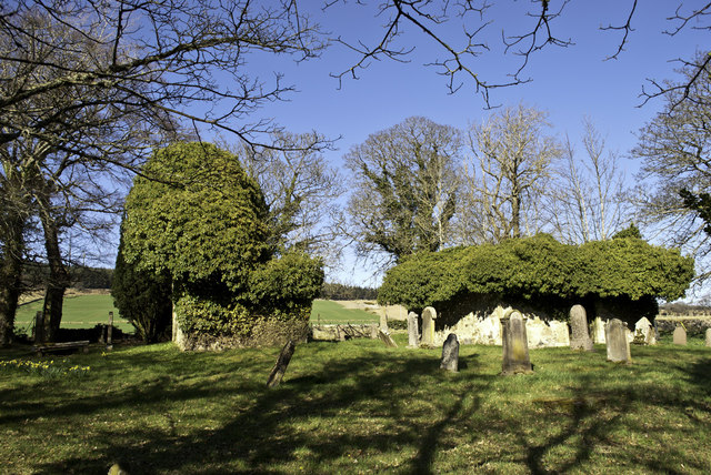
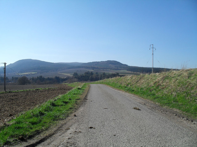
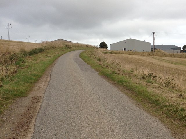
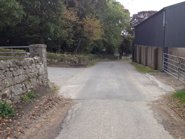
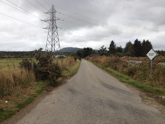
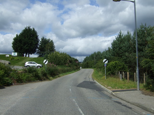
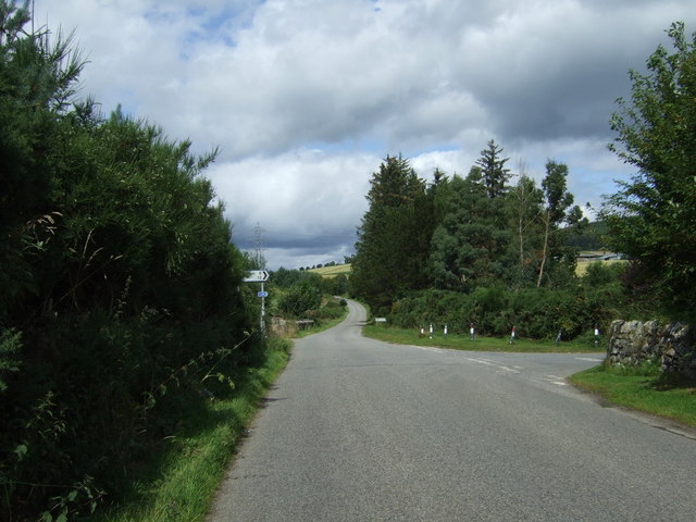
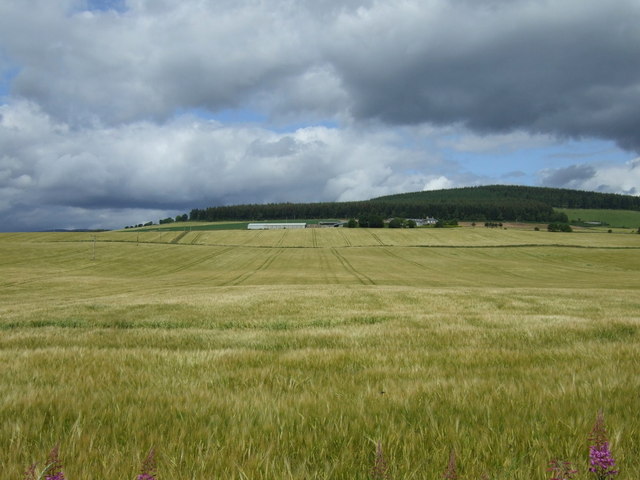
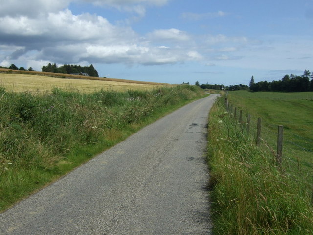
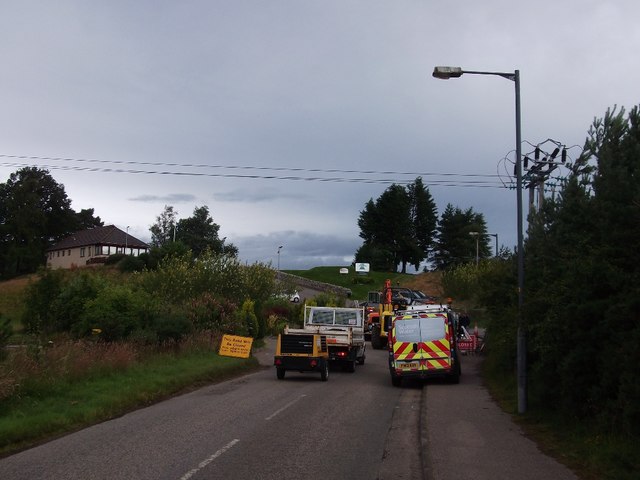
Alanais Images
Images are sourced within 2km of 57.695581/-4.249763 or Grid Reference NH6669. Thanks to Geograph Open Source API. All images are credited.


Alanais is located at Grid Ref: NH6669 (Lat: 57.695581, Lng: -4.249763)
Unitary Authority: Highland
Police Authority: Highlands and Islands
Also known as: Alness
What 3 Words
///replenish.ambitions.flicked. Near Alness, Highland
Nearby Locations
Related Wikis
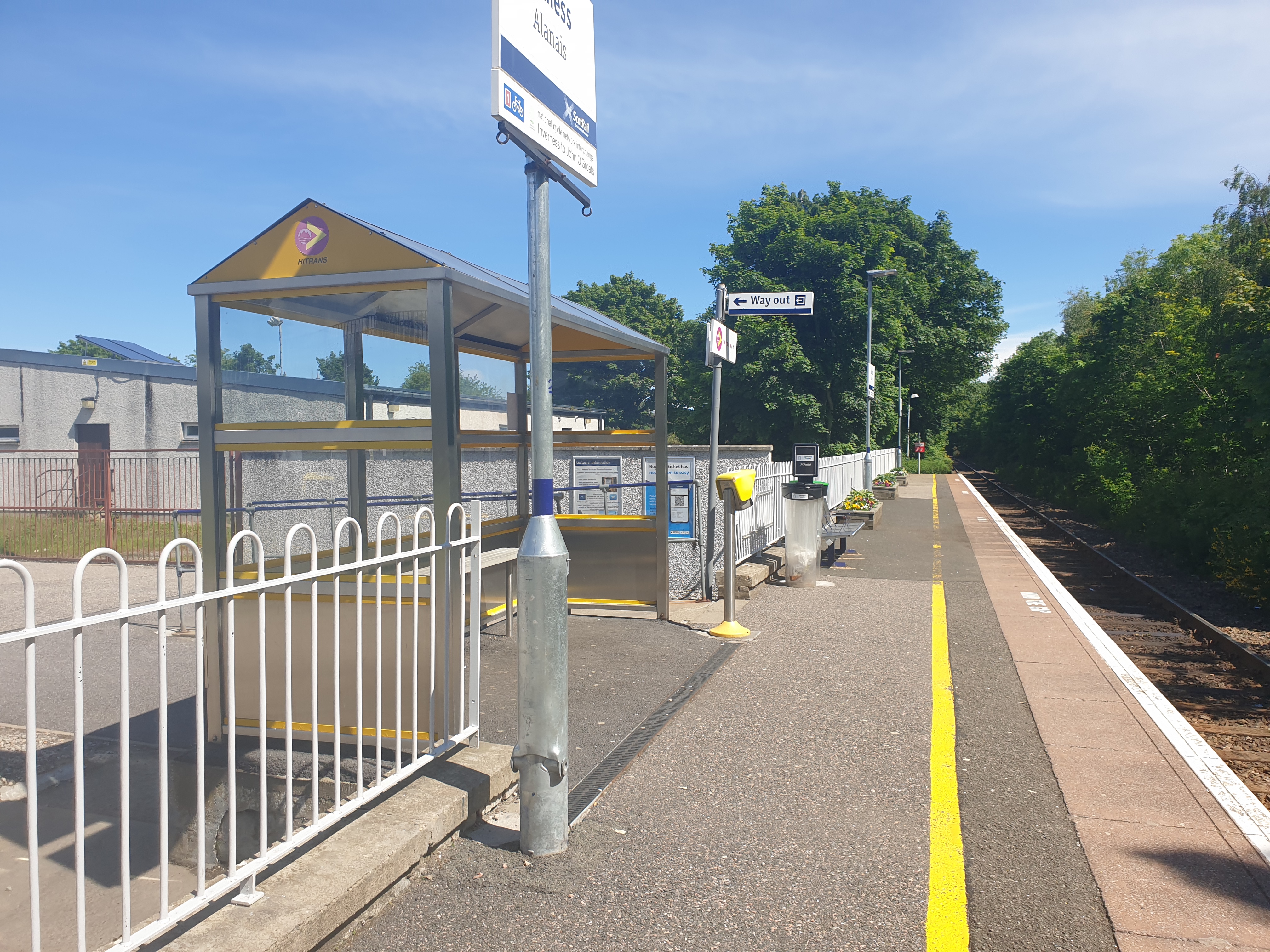
Alness railway station
Alness railway station is a railway station on the Far North Line, serving the town of Alness, on the Cromarty Firth, in the Highland council area of Scotland...

Alness Academy
Alness Academy (Scottish Gaelic: Acadamaidh Alanais) is a secondary school in Alness, Highland in the north on the Cromarty Firth of Scotland, serving...
Alness United F.C.
Alness United Football Club are a Scottish football club based in Alness, Highland. They currently compete in the North Caledonian Football League and...

Alness
Alness (, AWL-nis; Scottish Gaelic: Alanais) is a town and civil parish in Ross and Cromarty, Scotland. It lies near the mouth of the River Averon, near...
Related Videos
![Road Trip to Highlands - Scotland Dashcam [4K]](https://i.ytimg.com/vi/qn0s4KUyfHA/hqdefault.jpg)
Road Trip to Highlands - Scotland Dashcam [4K]
Buckle up and embark on an epic road trip as we journey from the historic streets of edinburgh to the breathtaking landscapes of ...

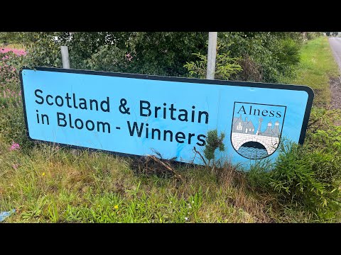

Photo beachcombing. Highlands, Scotland.
We're going beachcombing at Alness Point on the Cromarty Firth in the Scottish Highlands. My type of beachcombing is to find ...
Nearby Amenities
Located within 500m of 57.695581,-4.249763Have you been to Alanais?
Leave your review of Alanais below (or comments, questions and feedback).